


|
 Hollywood, JSC
Mendocino, JSC
LA SOCIETY
SF SOCIETY
NY SOCIETY
Open START Drills
Hollywood, JSC
Mendocino, JSC
LA SOCIETY
SF SOCIETY
NY SOCIETY
Open START Drills
 Commodities Review Currency Central LATPACT Open Market Equities Report The Noise Maker
 Insider: Situation Latvia
 |
|

|
|
 |
SOCIETY Trust Fund LATPACT Trust Fund LATPACT Open Market Far West (SEZ) Trust RIM of Nations Trust
Arctic Pact Trade Zone | Upper Rhine Zone | Lower Rhine Zone | Middle Rhone Basin
 "US attempts to salvage the European Order with an Oceania-based military coalition"
Population Conversations: 955,066
Group Power Hours
 Glance at NATO
 In early 2018, UNITED STATES ARMY COMMANDER, GENERAL CURTIS M. SCAPARROTTI delivered the posture statement for NATO. He stated, "As our most significant trading partner, Europe is vital to promoting American prosperity. With shared history and values, Europe is also a critical partner in advancing American influence throughout the world. The North Atlantic Treaty Organization (NATO) enables us to preserve peace through strength as alliance unity fundamentally deters the aggression of potential adversaries."
Moreover, General Scaparrotti said, "Russia continues to destabilize regional security and disregard international norms, which have preserved the peace in Europe since 1945. Russia seeks to change the international order, fracture NATO, and undermine U.S. leadership in order to protect its regime, re-assert dominance over its neighbors, and achieve greater influence around the globe. To achieve these ends, the Kremlin is prepared to employ the full spectrum of Russia’s power, to include forcefully using its increasingly capable military."
United Nations Command: AUKUSA/Quad 4
 Extensively, the Greater West initiative transforms international security while disabling NATO, AUKUSA and the Quad 4 military alliances with the Open START Hawaii and Open START Alaska drills. Inherently, the Greater West initiative suppresses the UN Command as security backlogs with the Global South impedes expansion for the Japanese yen. Economically, the US dollar unifies NATO, AUKUSA and the Quad 4 alliances in the wake of the 2007 housing crises, COVID-19 recovery and war in Ukraine. Generously, the Upper Rhine pass links the Open START Hawaii and Open START Alaska drills to stabilize international and climate security. Uniquely, Open START drills on the Upper Rhine pass pegs the value of the Japanese yen and Korean Won to the Chinese yuan, Indian rupee, Russian ruble, and Mexican peso which enables economic transformation for the Greater West. Effectively, the Open START drill secures the yen in cooperation for the Global South with significant growth on the New Silk Road Economic Belt. Suitably, the Open START drill baffles the UN Command with the Upper Rhine pass as a prelude in the demise of NATO, AUKUSA and the Quad 4 military alliances.
The OSCE and NATO: From the Arctic Circle
 Historically, military conflicts include land navigation rivalry which is significant for the Lower Rhine corridor as tensions between the Eastern and Western hemisphere ignite over political testimony. Substantially, the US has interspersed armed forces in the EU with the connivance of NATO and the OSCE to subjugate the Arctic Circle and dominate international trade from the Middle East. Tacitly, the OSCE is equipped to engineer early warnings, conflict resolution and crisis management over military tensions with NATO to inseminate the world order of law and justice. Decisively, the Open START Iceland drill unify the corners of the world to combat the historical West from the Arctic Circle over climate security, war crimes and crimes against humanity. Particularly, normalized ties to Israel for the Lower Rhine corridor weighs over rising Eastern influence from the Near East which is a major factor in the Open START Iceland drill. Efficiently, the Open START Iceland drill balances political, economic and military parity between the historical East and West which is threatened from the incumbency of trade sanctions and escalating military tensions in the West.
*Schedule of Nuclear Attack
Be advised: The specific plan of attack for Latvia is sensitive and will be posted here closer to its scheduled strike.
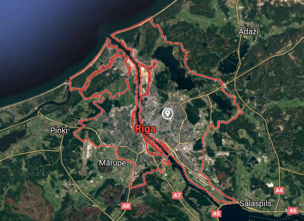
Latvia
Open START (RKS) |
Groups R30 - R37 | *300kt | Millineum Power *4,000 MW
Stage 1 - WA Dong (SIT.2) 
City/Town |
Latitude Coordinate |
Longitude Coordinate |
|
Riga [*elevation ceiling = 40km]Elevation: 16m (Group 30)
RS-26 Rubezh (SS) |
Point A: 56.949649 *00 (Group 30)
Point B: 55.874736 00
Point C: 56.504668 00
Point D: 56.651109 00
Point E: 56.947079 00
Point F: 57.393722 00
Open START Areas |
Point A: 24.105186 *00 (Group 30)
Point B: 26.536179 00
Point C: 21.010806 00
Point D: 23.721354 00
Point E: 23.616849 00
Point F: 21.564707 00
Demonstration |
|
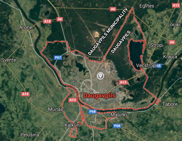
Daugavpils [*elevation ceiling = 40km]Elevation: 105m (Group 30)
RS-26 Rubezh (SS) |
Point A: 56.949649 00
Point B: 55.874736 *00 (Group 30)
Point C: 56.504668 00
Point D: 56.651109 00
Point E: 56.947079 00
Point F: 57.393722 00
|
Point A: 24.105186 00
Point B: 26.536179 *00 (Group 30)
Point C: 21.010806 00
Point D: 23.721354 00
Point E: 23.616849 00
Point F: 21.564707 00
|
|
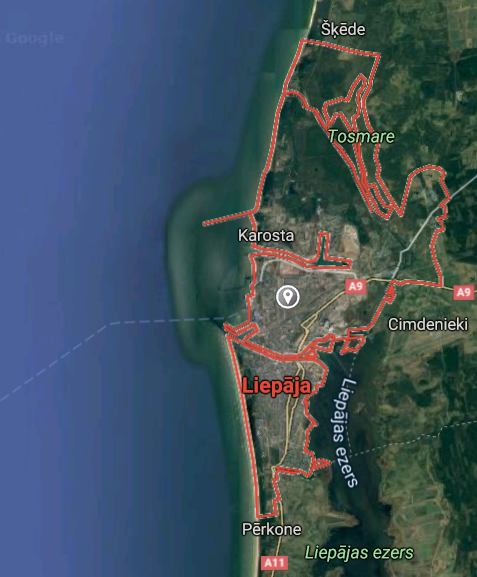
Liepaja [*elevation ceiling = 40km]Elevation: 7m (Group 30)
RS-26 Rubezh (SS) |
Point A: 56.949649 00
Point B: 55.874736 00
Point C: 56.504668 *00 (Group 30)
Point D: 56.651109 00
Point E: 56.947079 00
Point F: 57.393722 00
|
Point A: 24.105186 00
Point B: 26.536179 00
Point C: 21.010806 *00 (Group 30)
Point D: 23.721354 00
Point E: 23.616849 00
Point F: 21.564707 00
|
|
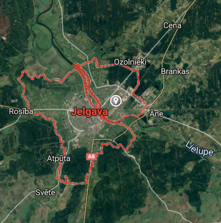
Jelgava [*elevation ceiling = 40km]Elevation: 5m (Group 30)
RS-26 Rubezh (SS) |
Point A: 56.949649 00
Point B: 55.874736 00
Point C: 56.504668 00
Point D: 56.651109 *00 (Group 30)
Point E: 56.947079 00
Point F: 57.393722 00
|
Point A: 24.105186 00
Point B: 26.536179 00
Point C: 21.010806 00
Point D: 23.721354 *00 (Group 30)
Point E: 23.616849 00
Point F: 21.564707 00
|
|
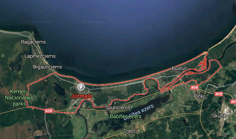
Jurmala [*elevation ceiling = 40km]Elevation: 4m (Group 30)
RS-26 Rubezh (SS) |
Point A: 56.949649 00
Point B: 55.874736 00
Point C: 56.504668 00
Point D: 56.651109 00
Point E: 56.947079 *00 (Group 30)
Point F: 57.393722 00
|
Point A: 24.105186 00
Point B: 26.536179 00
Point C: 21.010806 00
Point D: 23.721354 00
Point E: 23.616849 *00 (Group 30)
Point F: 21.564707 00
|
|
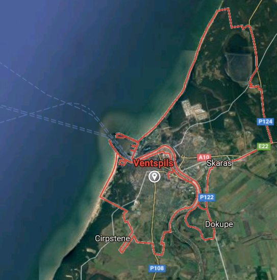
Ventspils [*elevation ceiling = 40km]Elevation: 9m (Group 30)
RS-26 Rubezh (SS) |
Point A: 56.949649 00
Point B: 55.874736 00
Point C: 56.504668 00
Point D: 56.651109 00
Point E: 56.947079 00
Point F: 57.393722 *00 (Group 30)
|
Point A: 24.105186 00
Point B: 26.536179 00
Point C: 21.010806 00
Point D: 23.721354 00
Point E: 23.616849 00
Point F: 21.564707 *00 (Group 30)
|
|
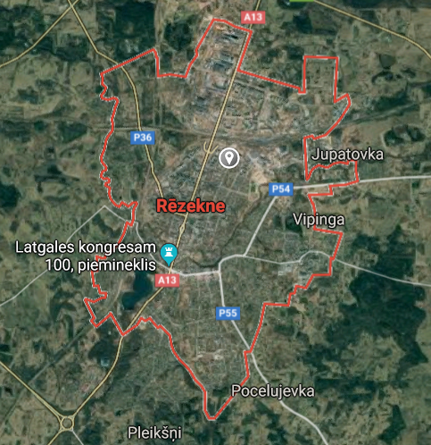
Rezekne [*elevation ceiling = 40km]Elevation: 158m (Group 31)
RS-26 Rubezh (SS) |
Point A: 56.509922 *00 (Group 31)
Point B: 57.538466 00
Point C: 56.501455 00
Point D: 56.814735 00
Point E: 56.969664 00
Point F: 56.856429 00
|
Point A: 27.333136 *00 (Group 31)
Point B: 25.426362 00
Point C: 25.878299 00
Point D: 24.604455 00
Point E: 23.153190 00
Point F: 24.352272 00
|
|
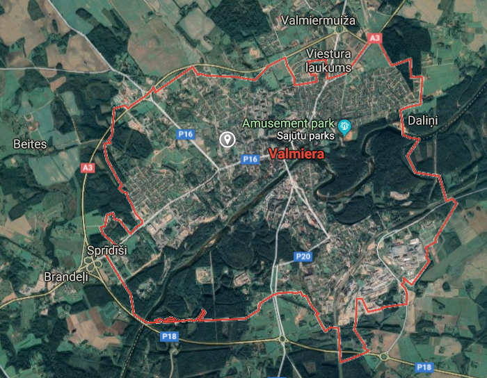
Valmiera [*elevation ceiling = 40km]Elevation: 46m (Group 31)
RS-26 Rubezh (SS) |
Point A: 56.509922 00
Point B: 57.538466 *00 (Group 31)
Point C: 56.501455 00
Point D: 56.814735 00
Point E: 56.969664 00
Point F: 56.856429 00
|
Point A: 27.333136 00
Point B: 25.426362 *00 (Group 31)
Point C: 25.878299 00
Point D: 24.604455 00
Point E: 23.153190 00
Point F: 24.352272 00
|
|
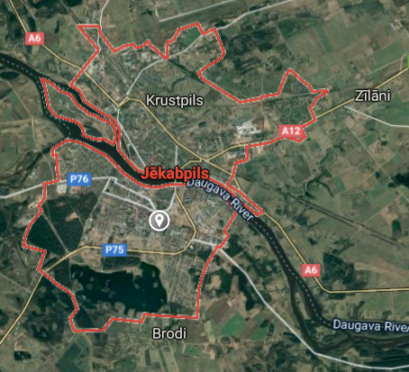
Jekabpils [*elevation ceiling = 40km]Elevation: 83m (Group 31)
RS-26 Rubezh (SS) |
Point A: 56.509922 00
Point B: 57.538466 00
Point C: 56.501455 *00 (Group 31)
Point D: 56.814735 00
Point E: 56.969664 00
Point F: 56.856429 00
|
Point A: 27.333136 00
Point B: 25.426362 00
Point C: 25.878299 *00 (Group 31)
Point D: 24.604455 00
Point E: 23.153190 00
Point F: 24.352272 00
|
|
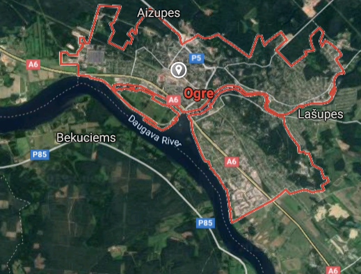
Ogre [*elevation ceiling = 40km]Elevation: 25m (Group 31)
RS-26 Rubezh (SS) |
Point A: 56.509922 00
Point B: 57.538466 00
Point C: 56.501455 00
Point D: 56.814735 *00 (Group 31)
Point E: 56.969664 00
Point F: 56.856429 00
|
Point A: 27.333136 00
Point B: 25.426362 00
Point C: 25.878299 00
Point D: 24.604455 *00 (Group 31)
Point E: 23.153190 00
Point F: 24.352272 00
|
|
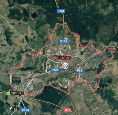
Tukums [*elevation ceiling = 40km]Elevation: 63m (Group 31)
RS-26 Rubezh (SS) |
Point A: 56.509922 00
Point B: 57.538466 00
Point C: 56.501455 00
Point D: 56.814735 00
Point E: 56.969664 *00 (Group 31)
Point F: 56.856429 00
|
Point A: 27.333136 00
Point B: 25.426362 00
Point C: 25.878299 00
Point D: 24.604455 00
Point E: 23.153190 *00 (Group 31)
Point F: 24.352272 00
|
|
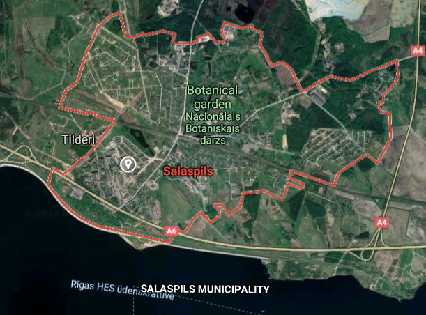
Salaspils [*elevation ceiling = 40km]Elevation: 15m (Group 31)
RS-26 Rubezh (SS) |
Point A: 56.509922 00
Point B: 57.538466 00
Point C: 56.501455 00
Point D: 56.814735 00
Point E: 56.969664 00
Point F: 56.856429 *00 (Group 31)
|
Point A: 27.333136 00
Point B: 25.426362 00
Point C: 25.878299 00
Point D: 24.604455 00
Point E: 23.153190 00
Point F: 24.352272 *00 (Group 31)
|
|
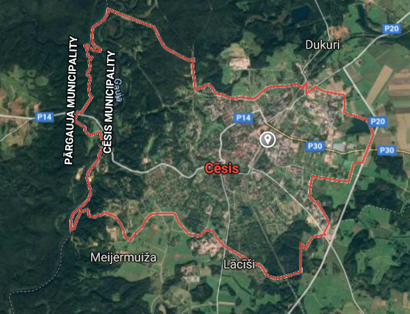
Cesis [*elevation ceiling = 40km]Elevation: 90m (Group 32)
RS-26 Rubezh (SS) |
Point A: 57.308611 *00 (Group 32)
Point B: 56.968814 00
Point C: 56.789674 00
Point D: 56.665302 00
Point E: 57.248041 00
Point F: 57.149563 00
|
Point A: 25.266872 *00 (Group 32)
Point B: 21.961508 00
Point C: 23.929580 00
Point D: 22.492169 00
Point E: 22.587386 00
Point F: 24.860333 00
|
|
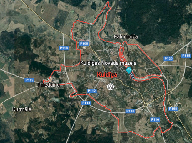
Kuldiga [*elevation ceiling = 40km]Elevation: 32m (Group 32)
RS-26 Rubezh (SS) |
Point A: 57.308611 00
Point B: 56.968814 *00 (Group 32)
Point C: 56.789674 00
Point D: 56.665302 00
Point E: 57.248041 00
Point F: 57.149563 00
|
Point A: 25.266872 00
Point B: 21.961508 *00 (Group 32)
Point C: 23.929580 00
Point D: 22.492169 00
Point E: 22.587386 00
Point F: 24.860333 00
|
|
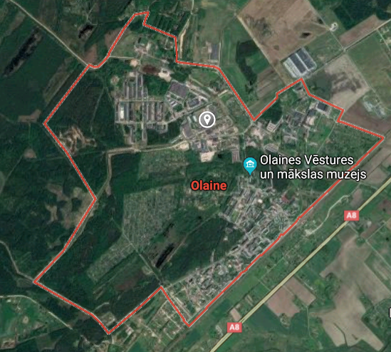
Olaine [*elevation ceiling = 40km]Elevation: 11m (Group 32)
RS-26 Rubezh (SS) |
Point A: 57.308611 00
Point B: 56.968814 00
Point C: 56.789674 *00 (Group 32)
Point D: 56.665302 00
Point E: 57.248041 00
Point F: 57.149563 00
|
Point A: 25.266872 00
Point B: 21.961508 00
Point C: 23.929580 *00 (Group 32)
Point D: 22.492169 00
Point E: 22.587386 00
Point F: 24.860333 00
|
|
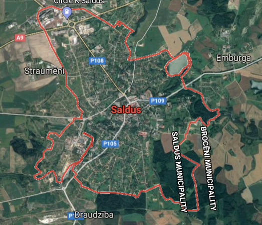
Saldus [*elevation ceiling = 40km]Elevation: 97m (Group 32)
RS-26 Rubezh (SS) |
Point A: 57.308611 00
Point B: 56.968814 00
Point C: 56.789674 00
Point D: 56.665302 *00 (Group 32)
Point E: 57.248041 00
Point F: 57.149563 00
|
Point A: 25.266872 00
Point B: 21.961508 00
Point C: 23.929580 00
Point D: 22.492169 *00 (Group 32)
Point E: 22.587386 00
Point F: 24.860333 00
|
|
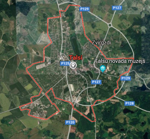
Talsi [*elevation ceiling = 40km]Elevation: 75m (Group 32)
RS-26 Rubezh (SS) |
Point A: 57.308611 00
Point B: 56.968814 00
Point C: 56.789674 00
Point D: 56.665302 00
Point E: 57.248041 *00 (Group 32)
Point F: 57.149563 00
|
Point A: 25.266872 00
Point B: 21.961508 00
Point C: 23.929580 00
Point D: 22.492169 00
Point E: 22.587386 *00 (Group 32)
Point F: 24.860333 00
|
|
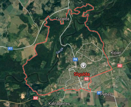
Sigulda [*elevation ceiling = 40km]Elevation: 100m (Group 32)
RS-26 Rubezh (SS) |
Point A: 57.308611 00
Point B: 56.968814 00
Point C: 56.789674 00
Point D: 56.665302 00
Point E: 57.248041 00
Point F: 57.149563 *00 (Group 32)
|
Point A: 25.266872 00
Point B: 21.961508 00
Point C: 23.929580 00
Point D: 22.492169 00
Point E: 22.587386 00
Point F: 24.860333 *00 (Group 32)
|
|
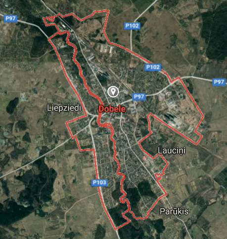
Dobele [*elevation ceiling = 40km]Elevation: 44m (Group 33)
RS-26 Rubezh (SS) |
Point A: 56.624906 *00 (Group 33)
Point B: 55.894769 00
Point C: 56.410288 00
Point D: 56.545959 00
Point E: 56.355176 00
Point F: 57.420788 00
|
Point A: 23.279107 *00 (Group 33)
Point B: 27.162763 00
Point C: 24.199999 00
Point D: 27.714320 00
Point E: 26.172526 00
Point F: 27.051349 00
|
|
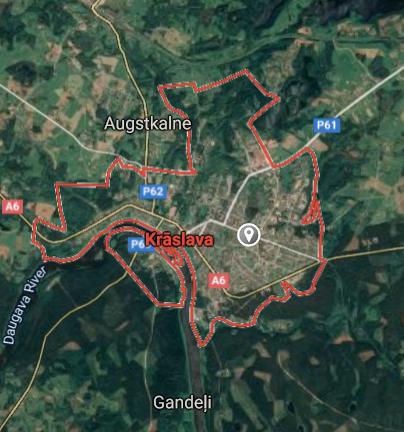
Kraslava [*elevation ceiling = 40km]Elevation: 103m (Group 33)
RS-26 Rubezh (SS) |
Point A: 56.624906 00
Point B: 55.894769 *00 (Group 33)
Point C: 56.410288 00
Point D: 56.545959 00
Point E: 56.355176 00
Point F: 57.420788 00
|
Point A: 23.279107 00
Point B: 27.162763 *00 (Group 33)
Point C: 24.199999 00
Point D: 27.714320 00
Point E: 26.172526 00
Point F: 27.051349 00
|
|
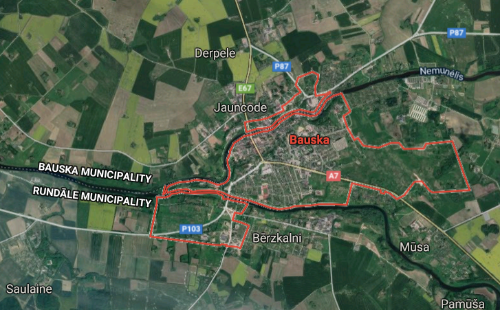
Bauska [*elevation ceiling = 40km]Elevation: 31m (Group 33)
RS-26 Rubezh (SS) |
Point A: 56.624906 00
Point B: 55.894769 00
Point C: 56.410288 *00 (Group 33)
Point D: 56.545959 00
Point E: 56.355176 00
Point F: 57.420788 00
|
Point A: 23.279107 00
Point B: 27.162763 00
Point C: 24.199999 *00 (Group 33)
Point D: 27.714320 00
Point E: 26.172526 00
Point F: 27.051349 00
|
|
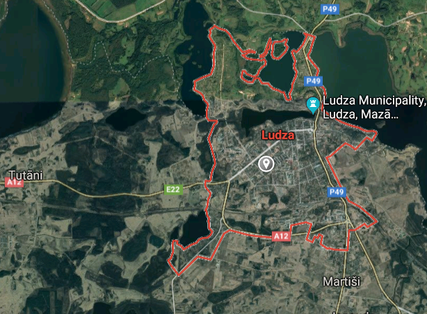
Ludza [*elevation ceiling = 40km]Elevation: 141m (Group 33)
RS-26 Rubezh (SS) |
Point A: 56.624906 00
Point B: 55.894769 00
Point C: 56.410288 00
Point D: 56.545959 *00 (Group 33)
Point E: 56.355176 00
Point F: 57.420788 00
|
Point A: 23.279107 00
Point B: 27.162763 00
Point C: 24.199999 00
Point D: 27.714320 *00 (Group 33)
Point E: 26.172526 00
Point F: 27.051349 00
|
|
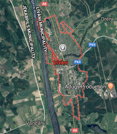
Livani [*elevation ceiling = 40km]Elevation: 88m (Group 33)
RS-26 Rubezh (SS) |
Point A: 56.624906 00
Point B: 55.894769 00
Point C: 56.410288 00
Point D: 56.545959 00
Point E: 56.355176 *00 (Group 33)
Point F: 57.420788 00
|
Point A: 23.279107 00
Point B: 27.162763 00
Point C: 24.199999 00
Point D: 27.714320 00
Point E: 26.172526 *00 (Group 33)
Point F: 27.051349 00
|
|
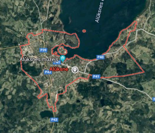
Aluksne [*elevation ceiling = 40km]Elevation: 192m (Group 33)
RS-26 Rubezh (SS) |
Point A: 56.624906 00
Point B: 55.894769 00
Point C: 56.410288 00
Point D: 56.545959 00
Point E: 56.355176 00
Point F: 57.420788 *00 (Group 33)
|
Point A: 23.279107 00
Point B: 27.162763 00
Point C: 24.199999 00
Point D: 27.714320 00
Point E: 26.172526 00
Point F: 27.051349 *00 (Group 33)
|
|
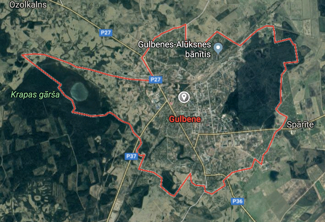
Gulbene [*elevation ceiling = 40km]Elevation: 118m (Group 34)
RS-26 Rubezh (SS) |
Point A: 57.171482 *00 (Group 34)
Point B: 56.854995 00
Point C: 56.593050 00
Point D: 57.512983 00
Point E: 56.290878 00
Point F: 57.132418 00
|
Point A: 26.752254 *00 (Group 34)
Point B: 26.225515 00
Point C: 25.243154 00
Point D: 24.721996 00
Point E: 26.721958 00
Point F: 27.265587 00
|
|
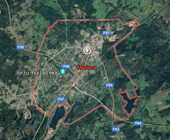
Madona [*elevation ceiling = 40km]Elevation: 132m (Group 34)
RS-26 Rubezh (SS) |
Point A: 57.171482 00
Point B: 56.854995 *00 (Group 34)
Point C: 56.593050 00
Point D: 57.512983 00
Point E: 56.290878 00
Point F: 57.132418 00
|
Point A: 26.752254 00
Point B: 26.225515 *00 (Group 34)
Point C: 25.243154 00
Point D: 24.721996 00
Point E: 26.721958 00
Point F: 27.265587 00
|
|
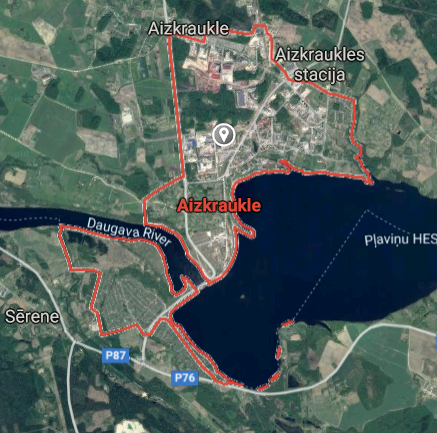
Aizkraukle [*elevation ceiling = 40km]Elevation: 72m (Group 34)
RS-26 Rubezh (SS) |
Point A: 57.171482 00
Point B: 56.854995 00
Point C: 56.593050 *00 (Group 34)
Point D: 57.512983 00
Point E: 56.290878 00
Point F: 57.132418 00
|
Point A: 26.752254 00
Point B: 26.225515 00
Point C: 25.243154 *00 (Group 34)
Point D: 24.721996 00
Point E: 26.721958 00
Point F: 27.265587 00
|
|
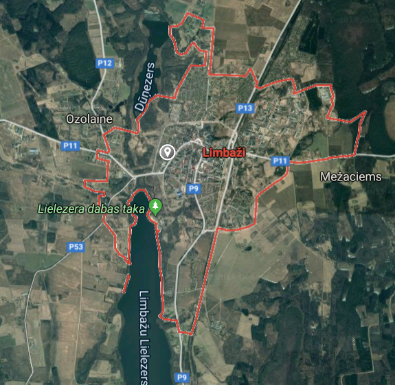
Limbazi [*elevation ceiling = 40km]Elevation: 77m (Group 34)
RS-26 Rubezh (SS) |
Point A: 57.171482 00
Point B: 56.854995 00
Point C: 56.593050 00
Point D: 57.512983 *00 (Group 34)
Point E: 56.290878 00
Point F: 57.132418 00
|
Point A: 26.752254 00
Point B: 26.225515 00
Point C: 25.243154 00
Point D: 24.721996 *00 (Group 34)
Point E: 26.721958 00
Point F: 27.265587 00
|
|
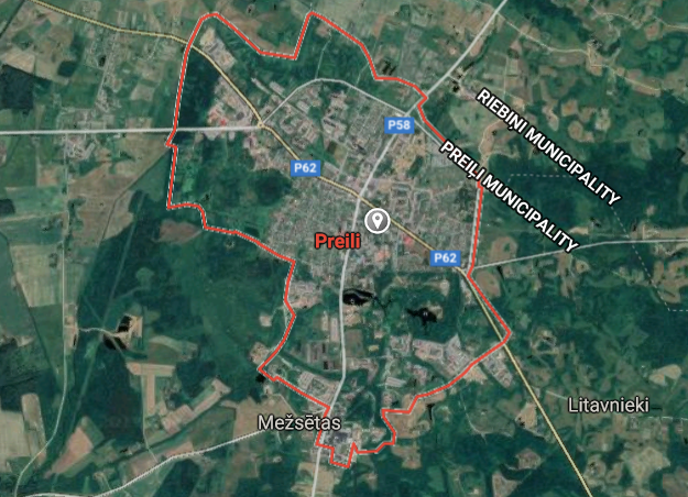
Preili [*elevation ceiling = 40km]Elevation: 126m (Group 34)
RS-26 Rubezh (SS) |
Point A: 57.171482 00
Point B: 56.854995 00
Point C: 56.593050 00
Point D: 57.512983 00
Point E: 56.290878 *00 (Group 34)
Point F: 57.132418 00
|
Point A: 26.752254 00
Point B: 26.225515 00
Point C: 25.243154 00
Point D: 24.721996 00
Point E: 26.721958 *00 (Group 34)
Point F: 27.265587 00
|
|
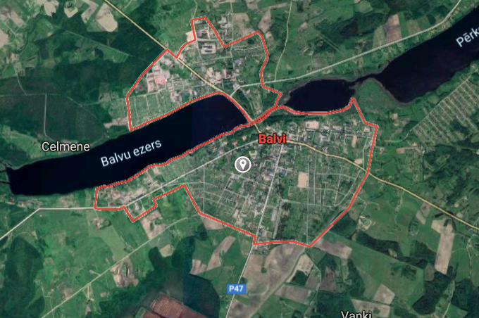
Balvi [*elevation ceiling = 40km]Elevation: 116m (Group 34)
RS-26 Rubezh (SS) |
Point A: 57.171482 00
Point B: 56.854995 00
Point C: 56.593050 00
Point D: 57.512983 00
Point E: 56.290878 00
Point F: 57.132418 *00 (Group 34)
|
Point A: 26.752254 00
Point B: 26.225515 00
Point C: 25.243154 00
Point D: 24.721996 00
Point E: 26.721958 00
Point F: 27.265587 *00 (Group 34)
|
|
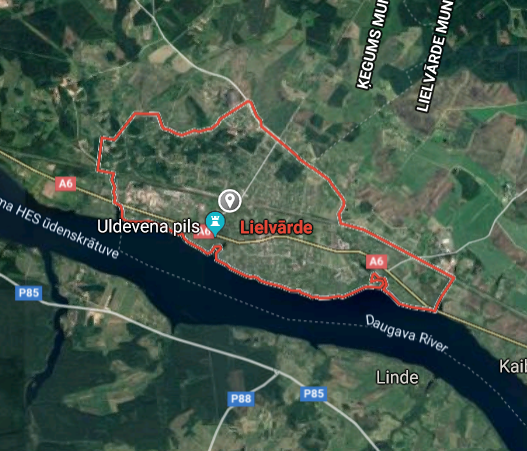
Lielvarde [*elevation ceiling = 40km]Elevation: 45m (Group 35)
RS-26 Rubezh (SS) |
Point A: 56.719152 *00 (Group 35)
Point B: 57.776041 00
Point C: 57.423063 00
Point D: 56.869159 00
Point E: 56.715739 00
Point F: 57.033151 00
|
Point A: 24.814229 *00 (Group 35)
Point B: 26.002839 00
Point C: 25.900378 00
Point D: 24.129870 00
Point E: 21.605305 00
Point F: 22.776790 00
|
|
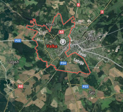
Valka [*elevation ceiling = 40km]Elevation: 55m (Group 35)
RS-26 Rubezh (SS) |
Point A: 56.719152 00
Point B: 57.776041 *00 (Group 35)
Point C: 57.423063 00
Point D: 56.869159 00
Point E: 56.715739 00
Point F: 57.033151 00
|
Point A: 24.814229 00
Point B: 26.002839 *00 (Group 35)
Point C: 25.900378 00
Point D: 24.129870 00
Point E: 21.605305 00
Point F: 22.776790 00
|
|
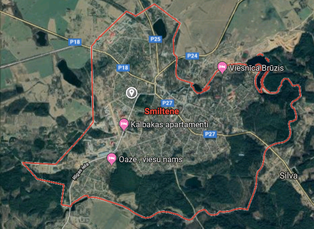
Smiltene [*elevation ceiling = 40km]Elevation: 101m (Group 35)
RS-26 Rubezh (SS) |
Point A: 56.719152 00
Point B: 57.776041 00
Point C: 57.423063 *00 (Group 35)
Point D: 56.869159 00
Point E: 56.715739 00
Point F: 57.033151 00
|
Point A: 24.814229 00
Point B: 26.002839 00
Point C: 25.900378 *00 (Group 35)
Point D: 24.129870 00
Point E: 21.605305 00
Point F: 22.776790 00
|
|
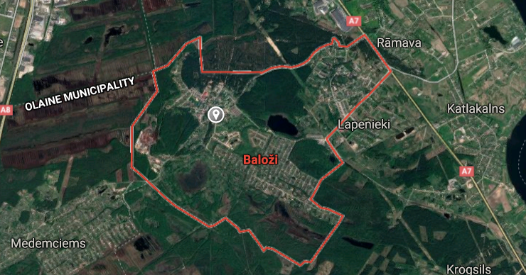
Balozi [*elevation ceiling = 40km]Elevation: 10m (Group 35)
RS-26 Rubezh (SS) |
Point A: 56.719152 00
Point B: 57.776041 00
Point C: 57.423063 00
Point D: 56.869159 *00 (Group 35)
Point E: 56.715739 00
Point F: 57.033151 00
|
Point A: 24.814229 00
Point B: 26.002839 00
Point C: 25.900378 00
Point D: 24.129870 *00 (Group 35)
Point E: 21.605305 00
Point F: 22.776790 00
|
|
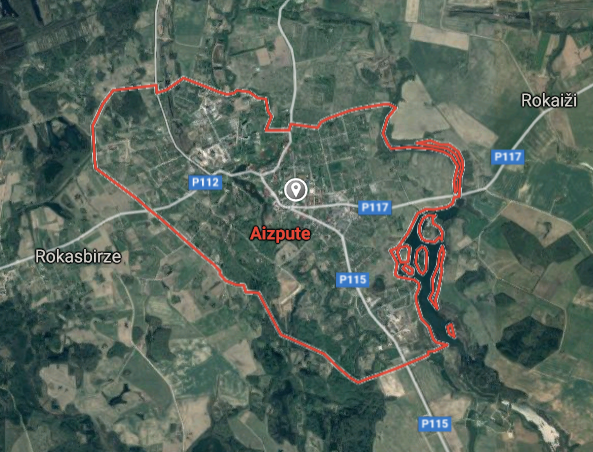
Aizpute [*elevation ceiling = 40km]Elevation: 54m (Group 35)
RS-26 Rubezh (SS) |
Point A: 56.719152 00
Point B: 57.776041 00
Point C: 57.423063 00
Point D: 56.869159 00
Point E: 56.715739 *00 (Group 35)
Point F: 57.033151 00
|
Point A: 24.814229 00
Point B: 26.002839 00
Point C: 25.900378 00
Point D: 24.129870 00
Point E: 21.605305 *00 (Group 35)
Point F: 22.776790 00
|
|
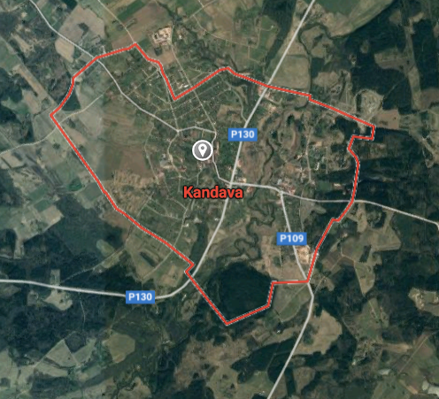
Kandava [*elevation ceiling = 40km]Elevation: 68m (Group 35)
RS-26 Rubezh (SS) |
Point A: 56.719152 00
Point B: 57.776041 00
Point C: 57.423063 00
Point D: 56.869159 00
Point E: 56.715739 00
Point F: 57.033151 *00 (Group 35)
|
Point A: 24.814229 00
Point B: 26.002839 00
Point C: 25.900378 00
Point D: 24.129870 00
Point E: 21.605305 00
Point F: 22.776790 *00 (Group 35)
|
|
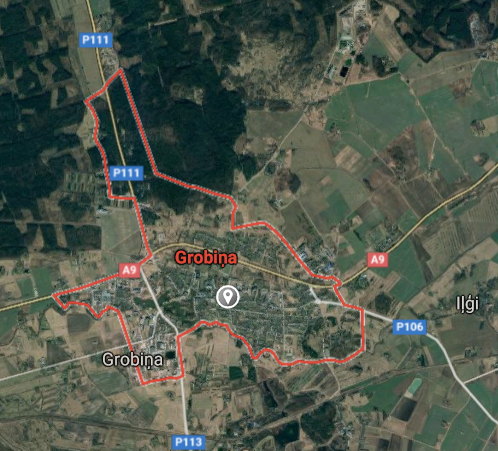
Grobina [*elevation ceiling = 40km]Elevation: 23m (Group 36)
RS-26 Rubezh (SS) |
Point A: 56.539632 *00 (Group 36)
Point B: 56.833558 00
Point C: 57.093602 00
Point D: 56.618245 00
Point E: 56.550104 00
Point F: 56.673312 00
|
Point A: 21.166892 *00 (Group 36)
Point B: 24.495440 00
Point C: 24.542434 00
Point D: 25.725792 00
Point E: 26.922966 00
Point F: 22.574388 00
|
|
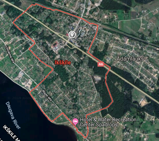
Ikskile [*elevation ceiling = 40km]Elevation: 33m (Group 36)
RS-26 Rubezh (SS) |
Point A: 56.539632 00
Point B: 56.833558 *00 (Group 36)
Point C: 57.093602 00
Point D: 56.618245 00
Point E: 56.550104 00
Point F: 56.673312 00
|
Point A: 21.166892 00
Point B: 24.495440 *00 (Group 36)
Point C: 24.542434 00
Point D: 25.725792 00
Point E: 26.922966 00
Point F: 22.574388 00
|
|
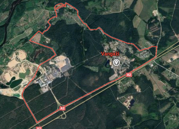
Vangazi [*elevation ceiling = 40km]Elevation: 19m (Group 36)
RS-26 Rubezh (SS) |
Point A: 56.539632 00
Point B: 56.833558 00
Point C: 57.093602 *00 (Group 36)
Point D: 56.618245 00
Point E: 56.550104 00
Point F: 56.673312 00
|
Point A: 21.166892 00
Point B: 24.495440 00
Point C: 24.542434 *00 (Group 36)
Point D: 25.725792 00
Point E: 26.922966 00
Point F: 22.574388 00
|
|
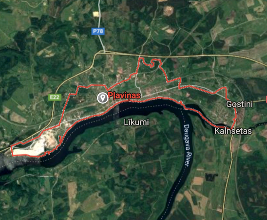
Plavinas [*elevation ceiling = 40km]Elevation: 74m (Group 36)
RS-26 Rubezh (SS) |
Point A: 56.539632 00
Point B: 56.833558 00
Point C: 57.093602 00
Point D: 56.618245 *00 (Group 36)
Point E: 56.550104 00
Point F: 56.673312 00
|
Point A: 21.166892 00
Point B: 24.495440 00
Point C: 24.542434 00
Point D: 25.725792 *00 (Group 36)
Point E: 26.922966 00
Point F: 22.574388 00
|
|
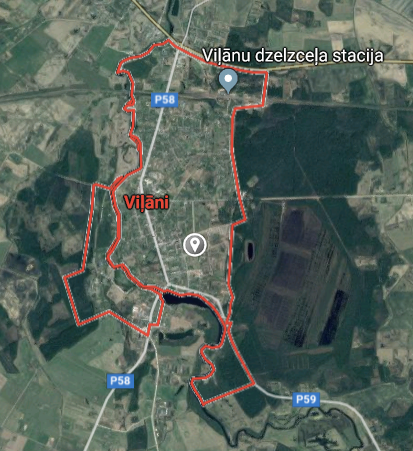
Vilani [*elevation ceiling = 40km]Elevation: 116m (Group 36)
RS-26 Rubezh (SS) |
Point A: 56.539632 00
Point B: 56.833558 00
Point C: 57.093602 00
Point D: 56.618245 00
Point E: 56.550104 *00 (Group 36)
Point F: 56.673312 00
|
Point A: 21.166892 00
Point B: 24.495440 00
Point C: 24.542434 00
Point D: 25.725792 00
Point E: 26.922966 *00 (Group 36)
Point F: 22.574388 00
|
|
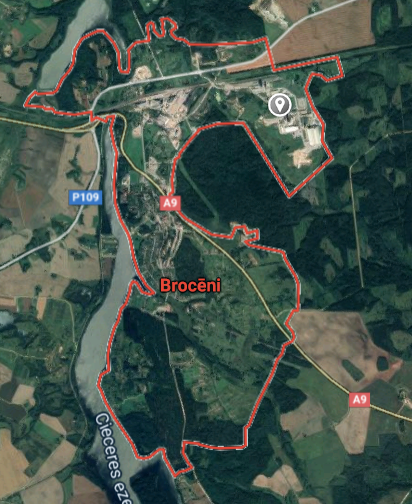
Broceni [*elevation ceiling = 40km]Elevation: 118m (Group 36)
RS-26 Rubezh (SS) |
Point A: 56.539632 00
Point B: 56.833558 00
Point C: 57.093602 00
Point D: 56.618245 00
Point E: 56.550104 00
Point F: 56.673312 *00 (Group 36)
|
Point A: 21.166892 00
Point B: 24.495440 00
Point C: 24.542434 00
Point D: 25.725792 00
Point E: 26.922966 00
Point F: 22.574388 *00 (Group 36)
|
|
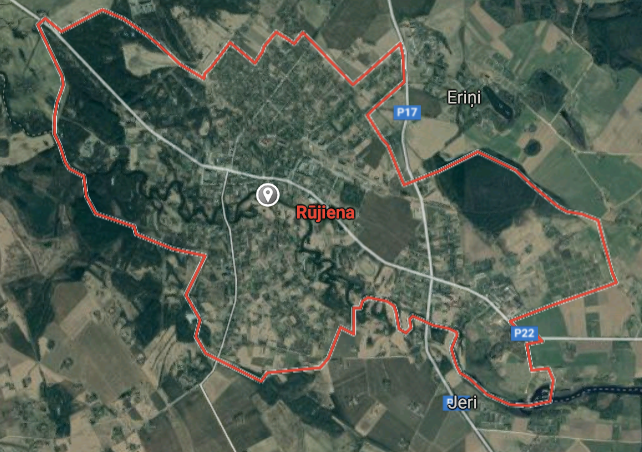
Rujiena [*elevation ceiling = 40km]Elevation: 54m (Group 37)
RS-26 Rubezh (SS) |
Point A: 57.893891 *00 (Group 37)
Point B: 57.268096 00
Point C: 57.758139 00
Point D: 56.460168 00
Point E: 55.976315 00
Point F: 56.095609 00
|
Point A: 25.339336 *00 (Group 37)
Point B: 24.415088 00
Point C: 24.354346 00
Point D: 22.905478 00
Point E: 26.305525 00
Point F: 27.532459 00
|
|
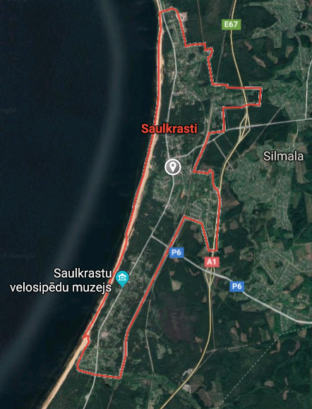
Saulkrasti [*elevation ceiling = 40km]Elevation: 20m (Group 37)
RS-26 Rubezh (SS) |
Point A: 57.893891 00
Point B: 57.268096 *00 (Group 37)
Point C: 57.758139 00
Point D: 56.460168 00
Point E: 55.976315 00
Point F: 56.095609 00
|
Point A: 25.339336 00
Point B: 24.415088 *00 (Group 37)
Point C: 24.354346 00
Point D: 22.905478 00
Point E: 26.305525 00
Point F: 27.532459 00
|
|
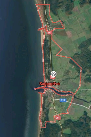
Salacgriva [*elevation ceiling = 40km]Elevation: 3m (Group 37)
RS-26 Rubezh (SS) |
Point A: 57.893891 00
Point B: 57.268096 00
Point C: 57.758139 *00 (Group 37)
Point D: 56.460168 00
Point E: 55.976315 00
Point F: 56.095609 00
|
Point A: 25.339336 00
Point B: 24.415088 00
Point C: 24.354346 *00 (Group 37)
Point D: 22.905478 00
Point E: 26.305525 00
Point F: 27.532459 00
|
|
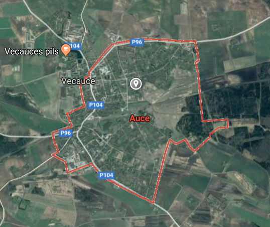
Auce [*elevation ceiling = 40km]Elevation: 91m (Group 37)
RS-26 Rubezh (SS) |
Point A: 57.893891 00
Point B: 57.268096 00
Point C: 57.758139 00
Point D: 56.460168 *00 (Group 37)
Point E: 55.976315 00
Point F: 56.095609 00
|
Point A: 25.339336 00
Point B: 24.415088 00
Point C: 24.354346 00
Point D: 22.905478 *00 (Group 37)
Point E: 26.305525 00
Point F: 27.532459 00
|
|
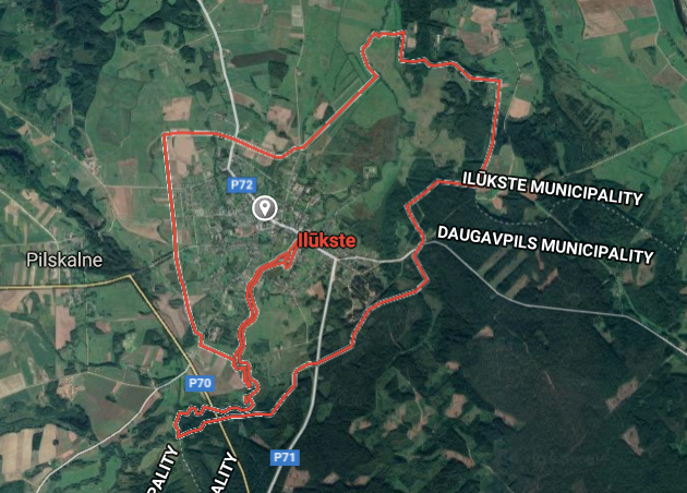
Ilukste [*elevation ceiling = 40km]Elevation: 94m (Group 37)
RS-26 Rubezh (SS) |
Point A: 57.893891 00
Point B: 57.268096 00
Point C: 57.758139 00
Point D: 56.460168 00
Point E: 55.976315 *00 (Group 37)
Point F: 56.095609 00
|
Point A: 25.339336 00
Point B: 24.415088 00
Point C: 24.354346 00
Point D: 22.905478 00
Point E: 26.305525 *00 (Group 37)
Point F: 27.532459 00
|
|
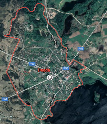
Dagda [*elevation ceiling = 40km]Elevation: 185m (Group 37)
RS-26 Rubezh (SS) |
Point A: 57.893891 00
Point B: 57.268096 00
Point C: 57.758139 00
Point D: 56.460168 00
Point E: 55.976315 00
Point F: 56.095609 *00 (Group 37)
|
Point A: 25.339336 00
Point B: 24.415088 00
Point C: 24.354346 00
Point D: 22.905478 00
Point E: 26.305525 00
Point F: 27.532459 *00 (Group 37)
|


