![]()
![]()
![]()
![]()
![]()
![]()
![]()


Intensely, Iran continues to combat the US War on Terror as its neighbor Iraq stresses with shifting environmental conditions. Meanwhile, the Caspian Sea is rapidly developing from the special status agreement between Iran, Russia, Kazakhstan, Turkmenistan and Azerbaijan. Naturally, the agreement creates a lock-out zone that is exclusive to the nations that share the Caspian Sea shoreline. Keenly, Iran asserts on either distributing the sea into five equal parts or jointly developing its resources. Moreover, security plans for the Caspian Sea continues to overshadow US military hostilities in the region. Accordingly, security of the Caspian Sea establishes the foundations of the Tigris-Euphrates Network (TEN). Vastly, the Tigris-Euphrates Network expands the Greater Mesopotamia region.
Militarily, the special status agreement creates an unprecedented Centennial Development Plan for the Greater Mesopotamia region which includes: regeneration of the Central Marshes, expansion of the Tigris-Euphrates river system, building new dams and developing oil fields. Economically, the Tigris-Euphrates Network invigorates the Indo-European Corridor of the New Silk Road. Furthermore, its special status agreement for the Caspian Sea creates expansion of international military cooperation including: deep sea exploration, Arctic and Antarctic research, and development along the Gulf of Mexico. Particularly, the establishment of climate control fields with an outer space 3-D navigation grid creates global security networks for generations to come. Hence, Russia, China and India have already formed the foundations of a nuclear triad as deep space navigation peaks demand.


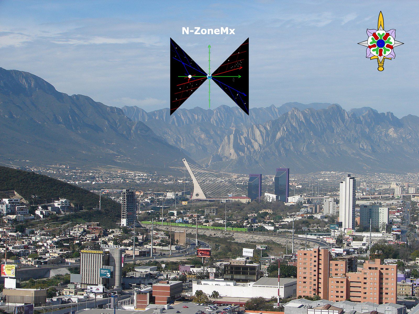
Specifically, hydrometeorology is the central focus throughout the Tigris-Euphrates Network. Critically, it is the branch of meteorology and hydrology that studies the transfer of water and energy between the land surface and the lower atmosphere which is vital for climate control. Dynamically, we have already established a True North Zone (N-Zone) which allows for greater centennial development planning. Pertinently, topography maps identify the True North Zone easily along the basin of the Mississippi River which connects Lake Superior and the Gulf of Mexico.
The True North Zone is named so for two reasons:
Politically, integration of the True North Zone and the Tigris-Euphrates Network is key for climate control and deep space navigation. Currently, Iran is ensuring that the Greater Mesopotamia region accelerates from ongoing developments in military research. Impartially, the Tigris-Euphrates Network expands into the Mediterranean coastal region from Turkey along the Taurus mountain complex.
Presumptuously, the US is actively seeking to form a military coalition against Iran to gain control of the Strait of Hormuz. Unwaveringly, Iranian President Hassan Rouhani stated, “We insist on security and freedom of shipping in the region and in the Strait of Hormuz. Tens of ships are freely navigating (in the waterway) every day and Iranian forces are carrying out their supervisions based on the regulations.” Simultaneously, Turkey's President Recep Tayyip Erdogan mentioned, "We’II move the process — which we started with the Euphrates Shield and Olive Branch operations forward to a different phase very soon.” Ultimately, US military actions in Syria for control of the Strait of Hormuz call for an immediate nuclear arms race against the US and Israel led by the newly formed nuclear triad between Russia, China and India.
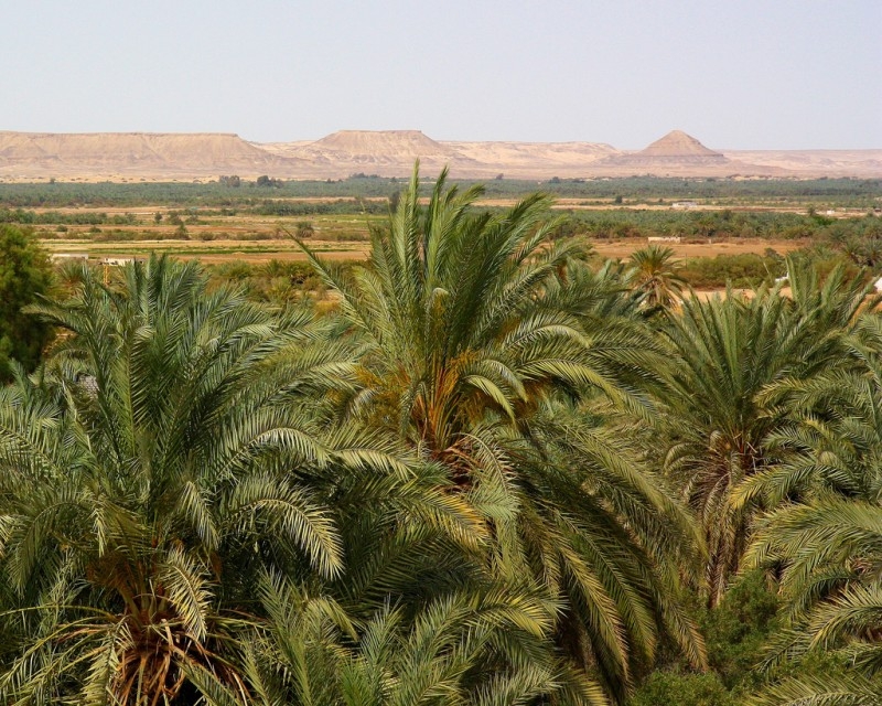
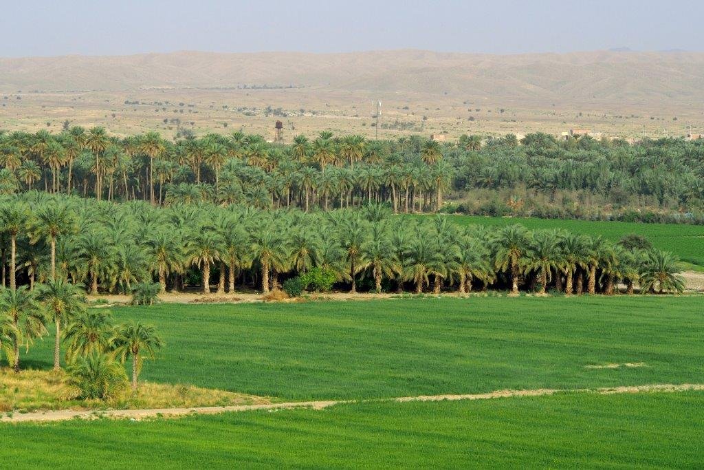
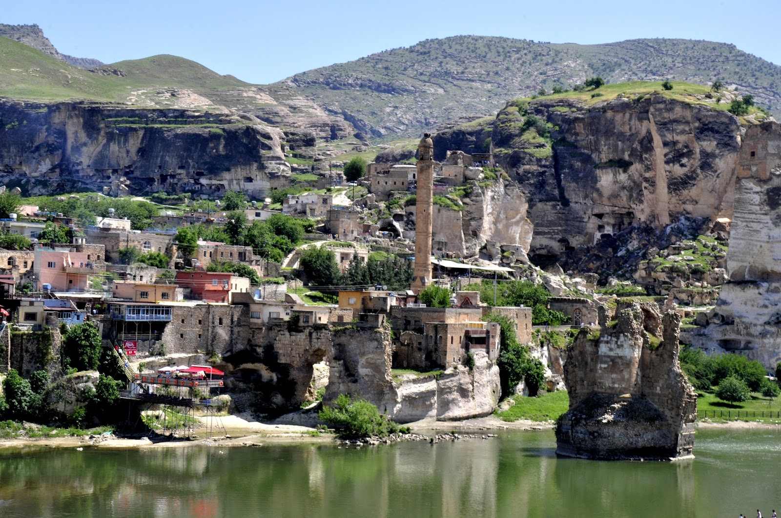
Subtly, the special status agreement for the Caspian Sea creates military tensions over the Tigris-Euphrates Network. Historically, Iraq's ancient rivers are known as "the cradle of civilization". Resourcefully, the world's first urban settlers raised the land between the Tigris and Euphrates rivers. Abundantly, the Euphrates river basins expand along Turkey, Syria, Iraq, Jordan, Saudi Arabia and Kuwait. Natively, the Euphrates river embeds several distinct vegetation zones. Domestically, various oaks and pistachio trees saturate the woodland steppe with the following wildlife living in the area: grey wolves, golden jackal, red fox, leopards, lions and the Syrian brown bear. Aptly, the special status agreement for the Caspian Sea allots for the preservation of vegetation zones and wildlife in the Tigris-Euphrates Network.
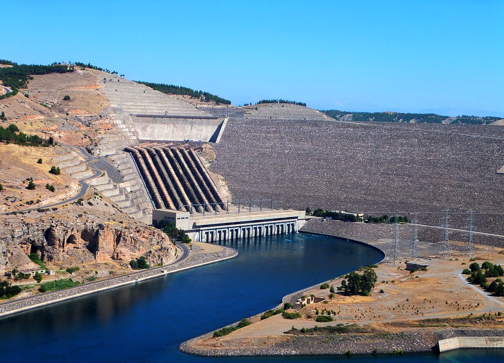
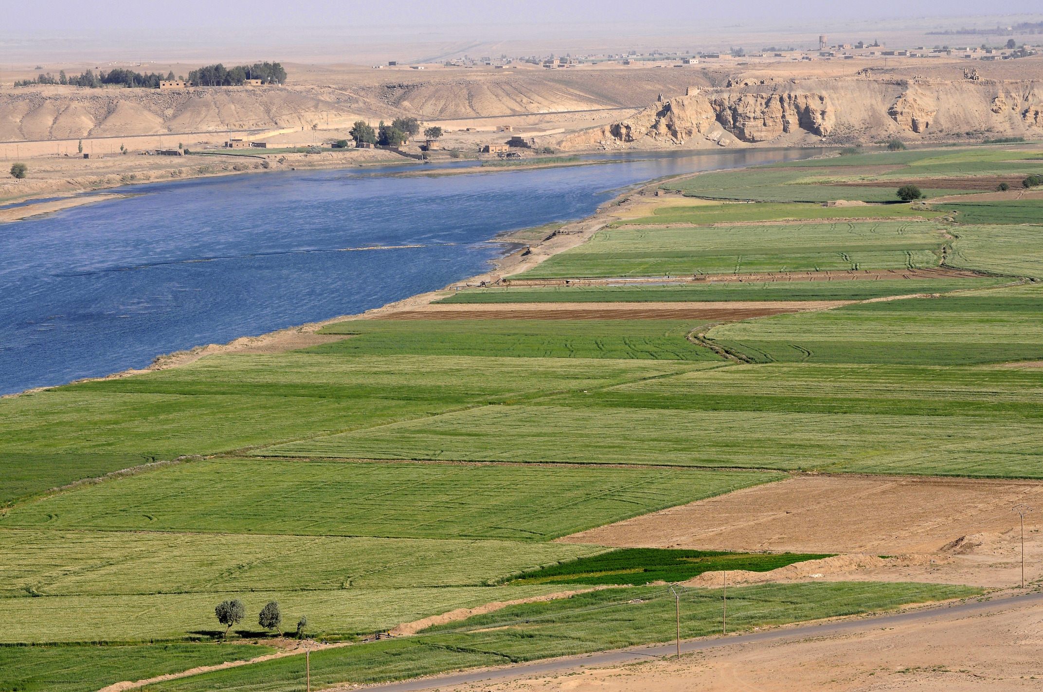
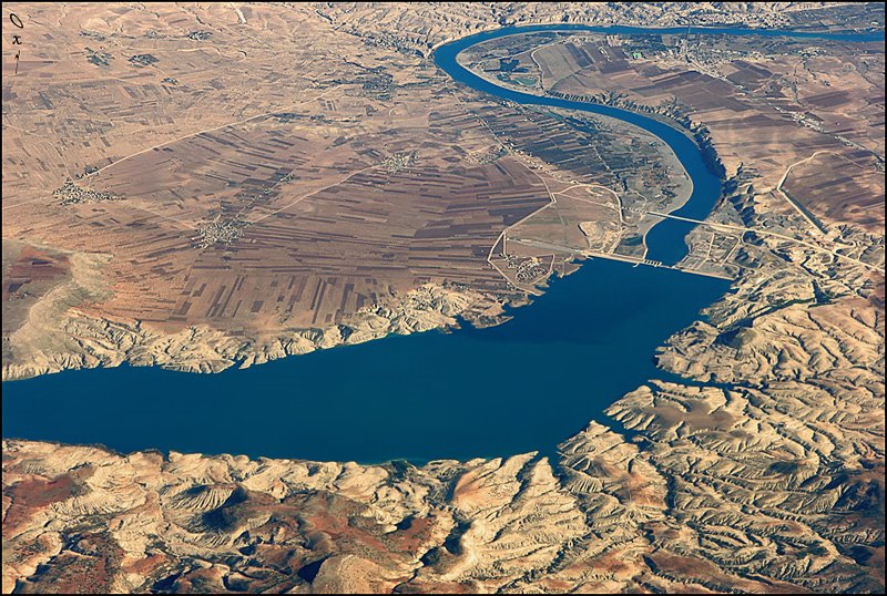
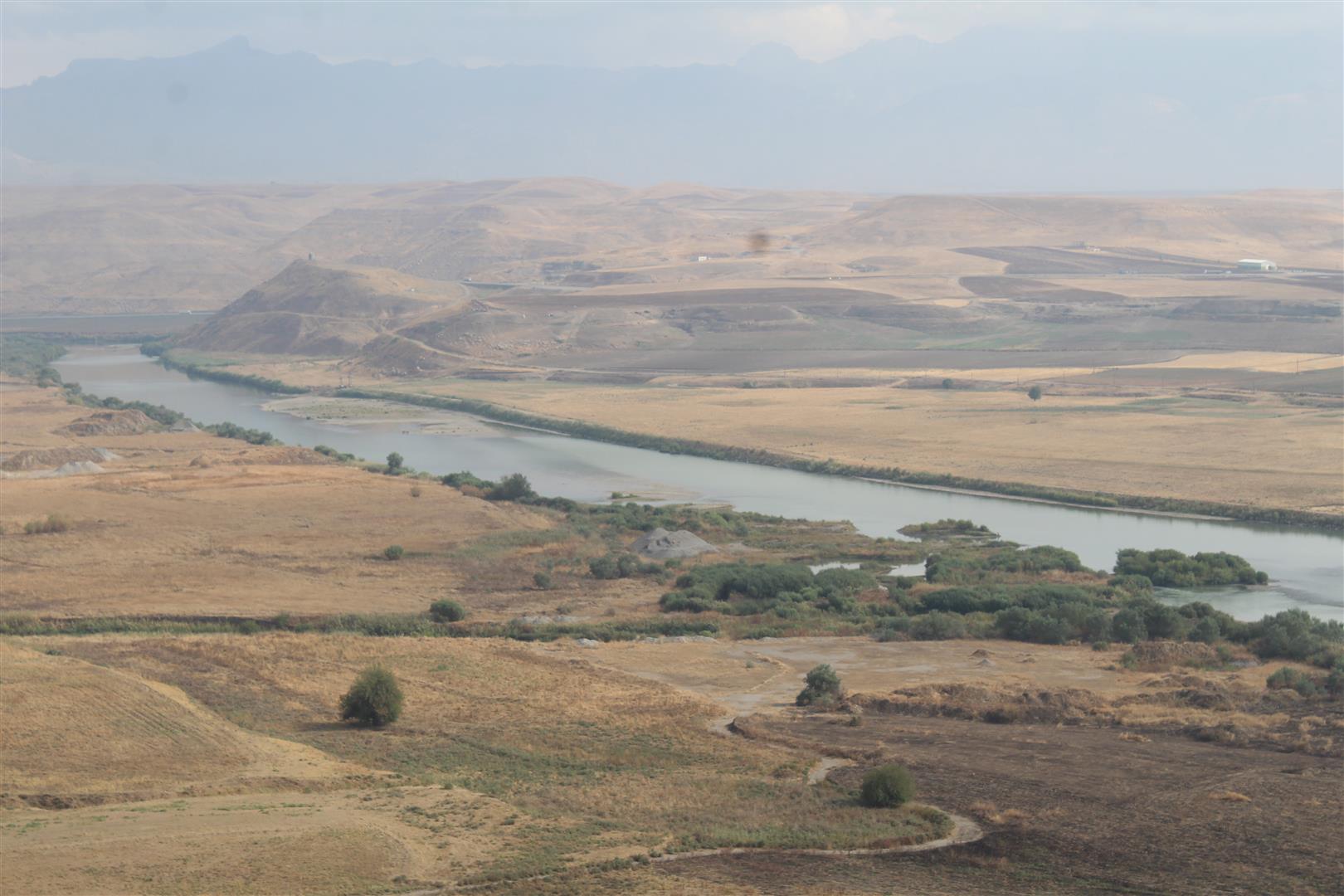
Copiously, the Tigris river gravitates its ecosystem towards neighboring nations including: Armenia, Georgia, Ukraine, Romania and Bulgaria. Geographically, it is the eastern river of the Tigris-Euphrates Network located in Greater Mesopotamia. Currently, the Mosul Dam which is located in Nineveh, Iraq demands ongoing attention from damages having occurred since the US invasion of Iraq and subsequent takeover by ISIL. Secondly, the following cities must mandate centennial development plans to support growth from the Central Marshes with the expansion of the Tigris-Euphrates Network: Mosul, Tikrit, Samarra, and Baghdad. Thirdly, military cooperation against US backed militia in Kurdistan begins accelerating over heightened tensions with Iran. Finally, Greater Mesopotamia continues to gravitate its Black Sea neighbors as the special status agreement for the Caspian Sea develops.
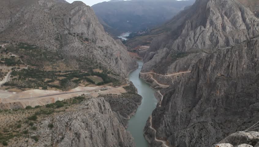
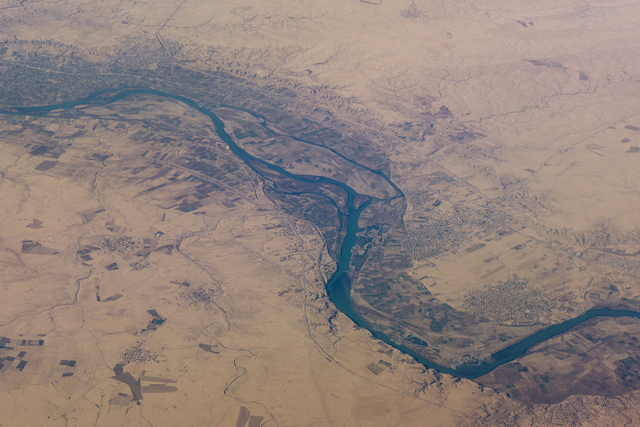
Adjacently, from the Tigris river is the Karun River in Iran which expands the Tigris-Euphrates Network into the Persian Gulf. Affluently, the Karun River flows through the Zagros mountains of Iran which create dense basins near the Persian Gulf. Presumably, the Karun River is the Gihon River which is described in the Bible as the location of the Garden of Eden. Progressively, the Karun River generates hydroelectric power with several dams which also provide flood control and erosion protection. Cooperatively, the Tigris-Euphrates Network illustrates expansion of the special status agreement for the Caspian Sea which requires centennial development planning for ongoing success.
Keenly, the Tigris-Euphrates Network must continue to expand its electricity grid, crude oil production and farming capacity. Socially, plans must include addressing issues with human migration, social integration and globalization. Therefore, centennial development planning is signature for combating economic uncertainty which dominates the West. Accordingly, the Tigris-Euphrates Network creates the foundations for centennial development plans. Strategically, military research in hydrometeorology continues to fuel the development of Greater Mesopotamia as the nuclear triad between Russia, China and India blooms.
Naturally, the preservation of land and wildlife for generations to come in Greater Mesopotamia is inherited. Methodically, centennial development planning guarantees protection for our natural resources. Likewise, centennial development planning ensures human development progress with the good governance established from the special status agreement of the Caspian Sea. Fundamentally, the Tigris-Euphrates Network includes the creation of river canals leading from the Caspian Sea into the Persian Gulf. Aggressively, bio-diversity is accelerating growth throughout Greater Mesopotamia. Creatively, the special status agreement is expanding from the oil rich basins of the Caspian Sea.
Climate Control |
|
Tigris-Euphrates |
Hydro-meteorology |
Deep Space |
“Join us on the front-lines as we put an end to world poverty!”
We provide a bulletin on the latest news and events from the TEN and ATG network in the Climate Control Quarterly Report.