

 OPEN Start


 Hollywood, JSC
Mendocino, JSC
LA SOCIETY
SF SOCIETY
NY SOCIETY
Open START Drills
Hollywood, JSC
Mendocino, JSC
LA SOCIETY
SF SOCIETY
NY SOCIETY
Open START Drills
Talk Daily Commodities Review LATPACT Open Market Equities Report Currency Central
 Situation: US
 |

|

|

|
|
 SOCIETY Trust Fund LATPACT Trust Fund LATPACT Open Market Far West (SEZ) Trust RIM of Nations Trust
Arctic Pact Trade Zone | Upper Rhine Zone | Lower Rhine Zone | Middle Rhone Basin
| Level 2 - Open START/*Super Grid |
| Level 3 - Stellar Fields |


Climate Central News & Information
 "US attempts to salvage the European Order with a K-9 Squad clan style coalition"
Population Conversations: 1,582,169
Planet Power Seconds
 BRICS Security Council
 Military cooperation is exceedingly pressing ahead in notable markets from China, Russia and India which include achieving greater milestones within the technology, communications, and aerospace industries. Vastly, multi-national alliances continue to expand as relying on new protocols oppose resistance with deregulation in the spheres of international security and terrorism. As a result, the BRICS Security Council is forming several key initiatives from climate security to preserve and harness the skills with establishing a polar-arc posture in outer space.
In contrast, a grave decline in NATO has been detected. In early 2018, UNITED STATES ARMY COMMANDER, GENERAL CURTIS M. SCAPARROTTI delivered the posture statement for NATO. He stated, "As our most significant trading partner, Europe is vital to promoting American prosperity. With shared history and values, Europe is also a critical partner in advancing American influence throughout the world. The North Atlantic Treaty Organization (NATO) enables us to preserve peace through strength as alliance unity fundamentally deters the aggression of potential adversaries." Meanwhile, NATO readiness is faltering in Europe as lack of training, inadequate funding and outdated equipment persist over the Brexit strategy.
United Nations Command: AUKUSA/Quad 4
 Extensively, the Central Basin is transforming international security while disabling NATO, AUKUSA and the Quad 4 military alliances with the Open START Hawaii and Open START Alaska drills. Inherently, the Central Basin fleet suppresses the UN Command over security backlogs as the Global South impedes expansion for the Japanese yen. Economically, the US dollar bounds NATO, AUKUSA and the Quad 4 alliances under one entity in the wake of the 2007 housing crises, COVID-19 recovery and war in Ukraine. Generously, the Upper Rhine pass bridges the Open START Hawaii and Open START Alaska drills which stabilize international and climate security. Uniquely, Open START drills for the Upper Rhine pass pegs the value of the Japanese yen and Korean Won to the Chinese yuan, Indian rupee, Russian ruble, and Mexican peso to enable economic transformation for the Central Basin region. Effectively, the Open START drill secures the yen in cooperation with the Global South as significant growth on the New Silk Road Economic Belt extends in Africa. Suitably, the Open START drill baffles the UN Command with the Upper Rhine pass as the historical value is at stake. Judiciously, the Open START drill isolates the UN Command over Level 1 protocol which underpins NATO, AUKUSA and the Quad 4 military alliances to Celtic Briton tribes.
The OSCE and NATO: From the Arctic Circle
 Historically, military conflicts include land navigation rivalry which is significant for the Lower Rhine corridor as tensions between the Eastern and Western hemisphere ignite over political testimony. Substantially, the US has interspersed armed forces in the EU with the connivance of NATO and the OSCE to subjugate the Arctic Circle and dominate international trade from the Middle East. Tacitly, the OSCE is equipped to engineer early warnings, conflict resolution and crisis management over military tensions with NATO to inseminate the world order of law and justice. Decisively, the Open START Iceland drill unify the corners of the world to combat the historical West from the Arctic Circle over climate security, war crimes and crimes against humanity. Particularly, normalized ties to Israel for the Lower Rhine corridor weighs over rising Eastern influence from the Near East which is a major factor in the Open START Iceland drill. Efficiently, the Open START Iceland drill balances political, economic and military parity between the historical East and West which is threatened from the incumbency of trade sanctions and escalating military tensions in the West.
*Schedule of Nuclear Attack
Be advised: The specific plan of attack for Iowa is sensitive and will be posted here closer to its scheduled strike.
Iowa
AL* | AZ* | AR* | CO | CT | DE | FL | GA | ID | IN | IA | KS | KY | LA | ME | MD
MA | MI | MN | MO | MT | NE | NV | NH | NJ | NM | NY | NC | ND | OH | OK | OR | PA | RI | SC
SD | TN | TX | UT | VA (DC)** | VT** | WA** | WV** | WI** | WY**
*Central Fleet South  Bulava + RT23 Cadet + Vysota3
Team: Memphis Fire (Local Area Control)
**Central Fleet North Bulava + Surya + Vysota3
Open START (RKS) |
Groups UR51 - UR58 | *300kt | Millineum Power *4,000 MW
Level 1 - WA Dong (SIT.2) 
Iowa |
Latitude Coordinate |
Longitude Coordinate |
|
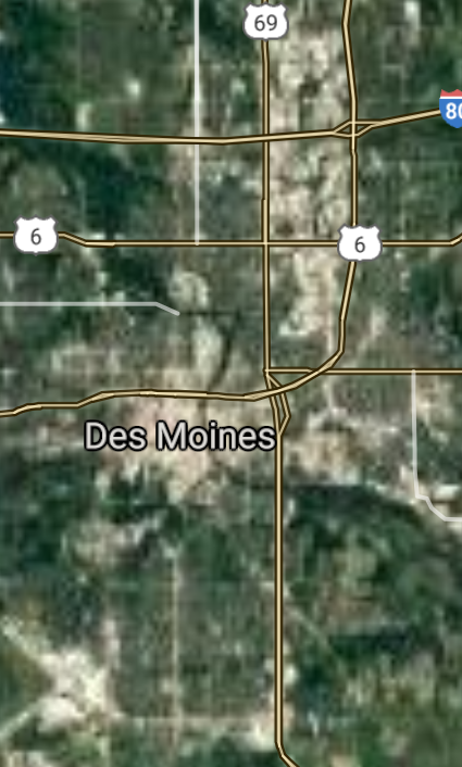
Des Moines [*elevation ceiling = 40km]Elevation: 248m (Group 51)
UR-100N (SLBM) |
Point A: 41.586835 00(300kt)
Point B: 41.977880 00
Point C: 41.523644 00
Point D: 42.496342 00
Point E: 42.492786 00
Point F: 41.661128 00
Open START Passages |
Point A: -93.624959 00 (300kt)
Point B: -91.665623 00
Point C: -90.577637 00
Point D: -96.404941 00
Point E: -92.342578 00
Point F: -91.530168 00
Demonstration |
|
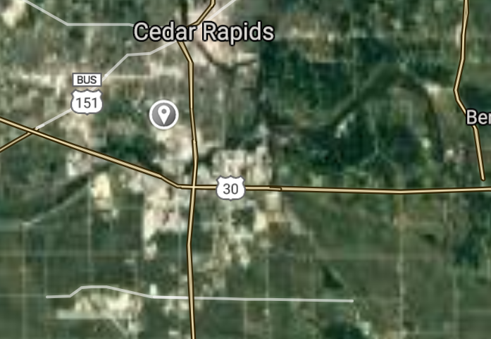
Cedar Rapids [*elevation ceiling = 40km]Elevation: 221m (Group 51)
UR-100N (SLBM) |
Point A: 41.586835 00
Point B: 41.977880 00(300kt)
Point C: 41.523644 00
Point D: 42.496342 00
Point E: 42.492786 00
Point F: 41.661128 00
|
Point A: -93.624959 00
Point B: -91.665623 00(300kt)
Point C: -90.577637 00
Point D: -96.404941 00
Point E: -92.342578 00
Point F: -91.530168 00
|
|
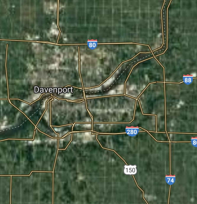
Davenport [*elevation ceiling = 40km]Elevation: 179m (Group 51)
UR-100N (SLBM) |
Point A: 41.586835 00
Point B: 41.977880 00
Point C: 41.523644 00(300kt)
Point D: 42.496342 00
Point E: 42.492786 00
Point F: 41.661128 00
|
Point A: -93.624959 00
Point B: -91.665623 00
Point C: -90.577637 00(300kt)
Point D: -96.404941 00
Point E: -92.342578 00
Point F: -91.530168 00
|
|
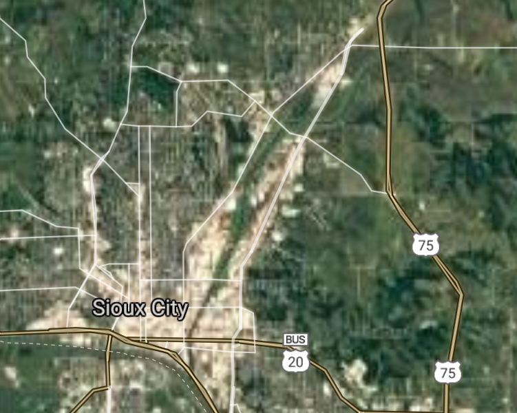
Sioux City [*elevation ceiling = 40km]Elevation: 339m (Group 51)
UR-100N (SLBM) |
Point A: 41.586835 00
Point B: 41.977880 00
Point C: 41.523644 00
Point D: 42.496342 00(300kt)
Point E: 42.492786 00
Point F: 41.661128 00
|
Point A: -93.624959 00
Point B: -91.665623 00
Point C: -90.577637 00
Point D: -96.404941 00(300kt)
Point E: -92.342578 00
Point F: -91.530168 00
|
|
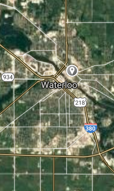
Waterloo [*elevation ceiling = 40km]Elevation: 260m (Group 51)
UR-100N (SLBM) |
Point A: 41.586835 00
Point B: 41.977880 00
Point C: 41.523644 00
Point D: 42.496342 00
Point E: 42.492786 00(300kt)
Point F: 41.661128 00
|
Point A: -93.624959 00
Point B: -91.665623 00
Point C: -90.577637 00
Point D: -96.404941 00
Point E: -92.342578 00(300kt)
Point F: -91.530168 00
|
|
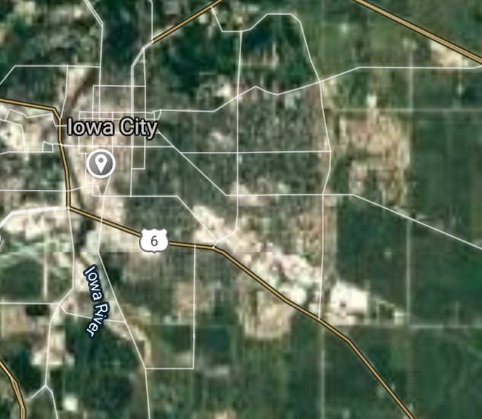
Iowa City [*elevation ceiling = 40km]Elevation: 204m (Group 51)
UR-100N (SLBM) |
Point A: 41.586835 00
Point B: 41.977880 00
Point C: 41.523644 00
Point D: 42.496342 00
Point E: 42.492786 00
Point F: 41.661128 00(300kt)
|
Point A: -93.624959 00
Point B: -91.665623 00
Point C: -90.577637 00
Point D: -96.404941 00
Point E: -92.342578 00
Point F: -91.530168 00(300kt)
|
|
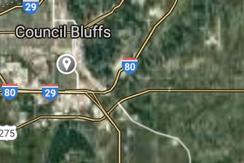
Council Bluffs [*elevation ceiling = 40km]Elevation: 301m (Group 52)
UR-100N (SLBM) |
Point A: 41.261944 00(300kt)
Point B: 42.030781 00
Point C: 42.500558 00
Point D: 41.577212 00
Point E: 41.731788 00
Point F: 41.626656 00
|
Point A: -95.860833 00(300kt)
Point B: -93.631913 00
Point C: -90.664572 00
Point D: -93.711332 00
Point E: -93.600128 00
Point F: -93.712166 00
|
|
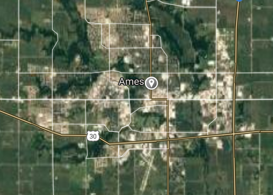
Ames [*elevation ceiling = 40km]Elevation: 274m (Group 52)
UR-100N (SLBM) |
Point A: 41.261944 00
Point B: 42.030781 00(300kt)
Point C: 42.500558 00
Point D: 41.577212 00
Point E: 41.731788 00
Point F: 41.626656 00
|
Point A: -95.860833 00
Point B: -93.631913 00(300kt)
Point C: -90.664572 00
Point D: -93.711332 00
Point E: -93.600128 00
Point F: -93.712166 00
|
|
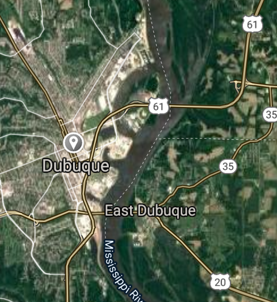
Dubuque [*elevation ceiling = 40km]Elevation: 190m (Group 52)
UR-100N (SLBM) |
Point A: 41.261944 00
Point B: 42.030781 00
Point C: 42.500558 00(300kt)
Point D: 41.577212 00
Point E: 41.731788 00
Point F: 41.626656 00
|
Point A: -95.860833 00
Point B: -93.631913 00
Point C: -90.664572 00(300kt)
Point D: -93.711332 00
Point E: -93.600128 00
Point F: -93.712166 00
|
|
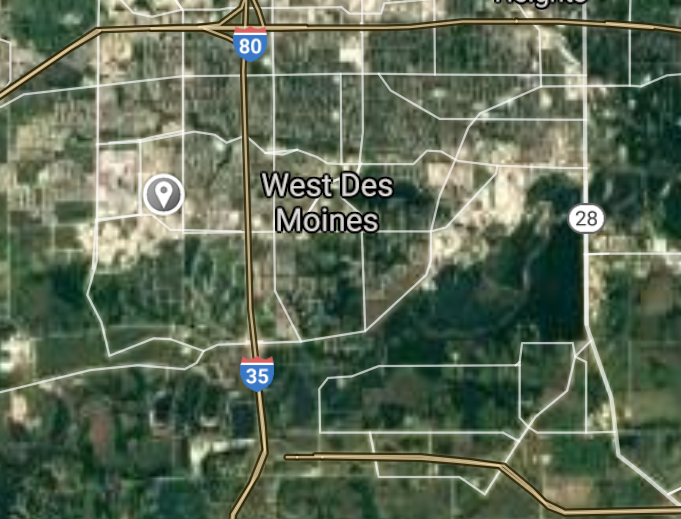
West Des Moines [*elevation ceiling = 40km]Elevation: 253m (Group 52)
UR-100N (SLBM) |
Point A: 41.261944 00
Point B: 42.030781 00
Point C: 42.500558 00
Point D: 41.577212 00(300kt)
Point E: 41.731788 00
Point F: 41.626656 00
|
Point A: -95.860833 00
Point B: -93.631913 00
Point C: -90.664572 00
Point D: -93.711332 00(300kt)
Point E: -93.600128 00
Point F: -93.712166 00
|
|
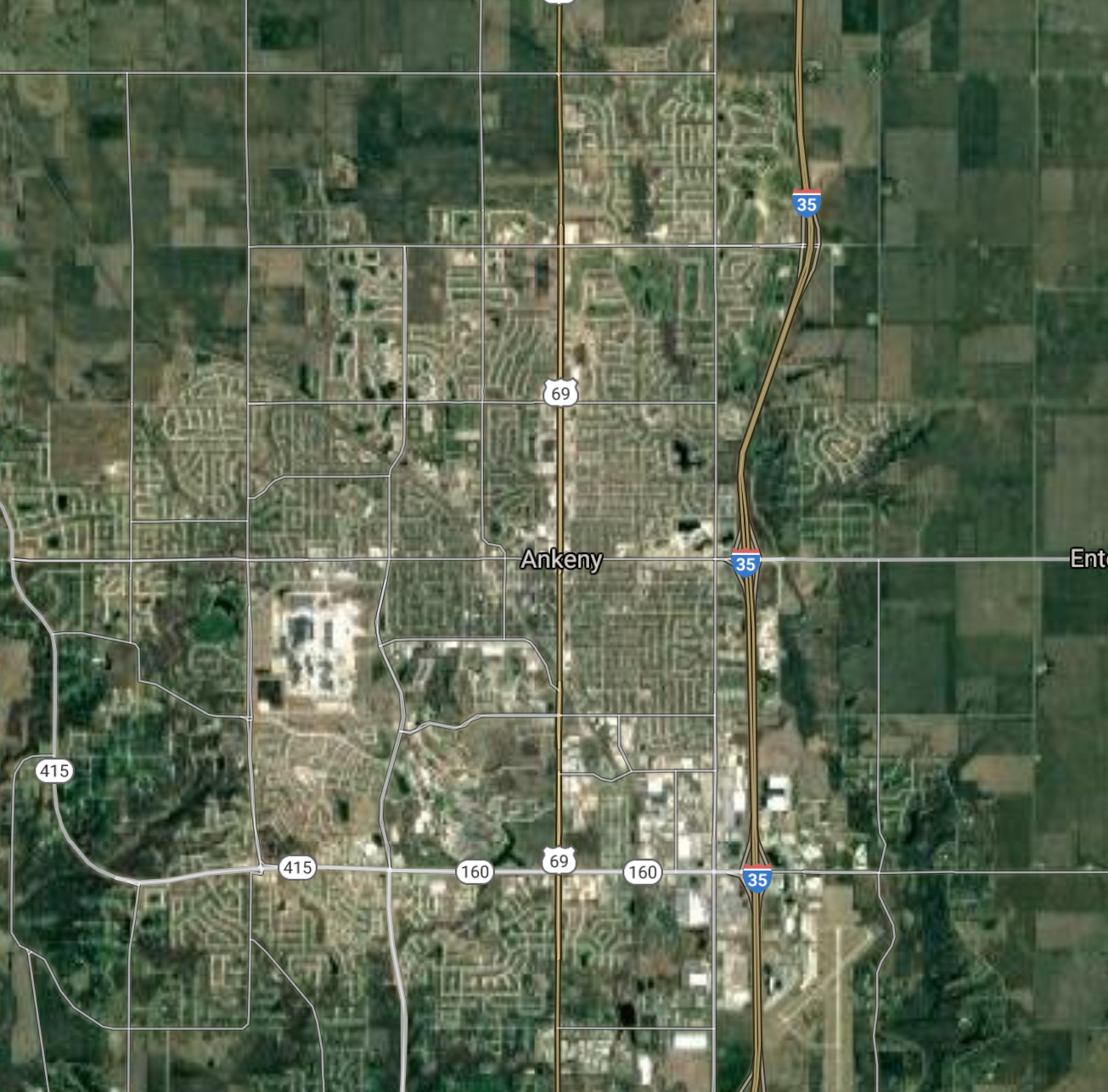
Ankeny [*elevation ceiling = 40km]Elevation: 297m (Group 52)
UR-100N (SLBM) |
Point A: 41.261944 00
Point B: 42.030781 00
Point C: 42.500558 00
Point D: 41.577212 00
Point E: 41.731788 00(300kt)
Point F: 41.626656 00
|
Point A: -95.860833 00
Point B: -93.631913 00
Point C: -90.664572 00
Point D: -93.711332 00
Point E: -93.600128 00(300kt)
Point F: -93.712166 00
|
|
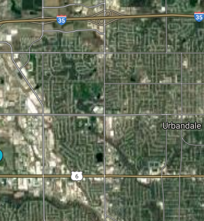
Urbandale [*elevation ceiling = 40km]Elevation: 288m (Group 52)
UR-100N (SLBM) |
Point A: 41.261944 00
Point B: 42.030781 00
Point C: 42.500558 00
Point D: 41.577212 00
Point E: 41.731788 00
Point F: 41.626656 00(300kt)
|
Point A: -95.860833 00
Point B: -93.631913 00
Point C: -90.664572 00
Point D: -93.711332 00
Point E: -93.600128 00
Point F: -93.712166 00(300kt)
|
|
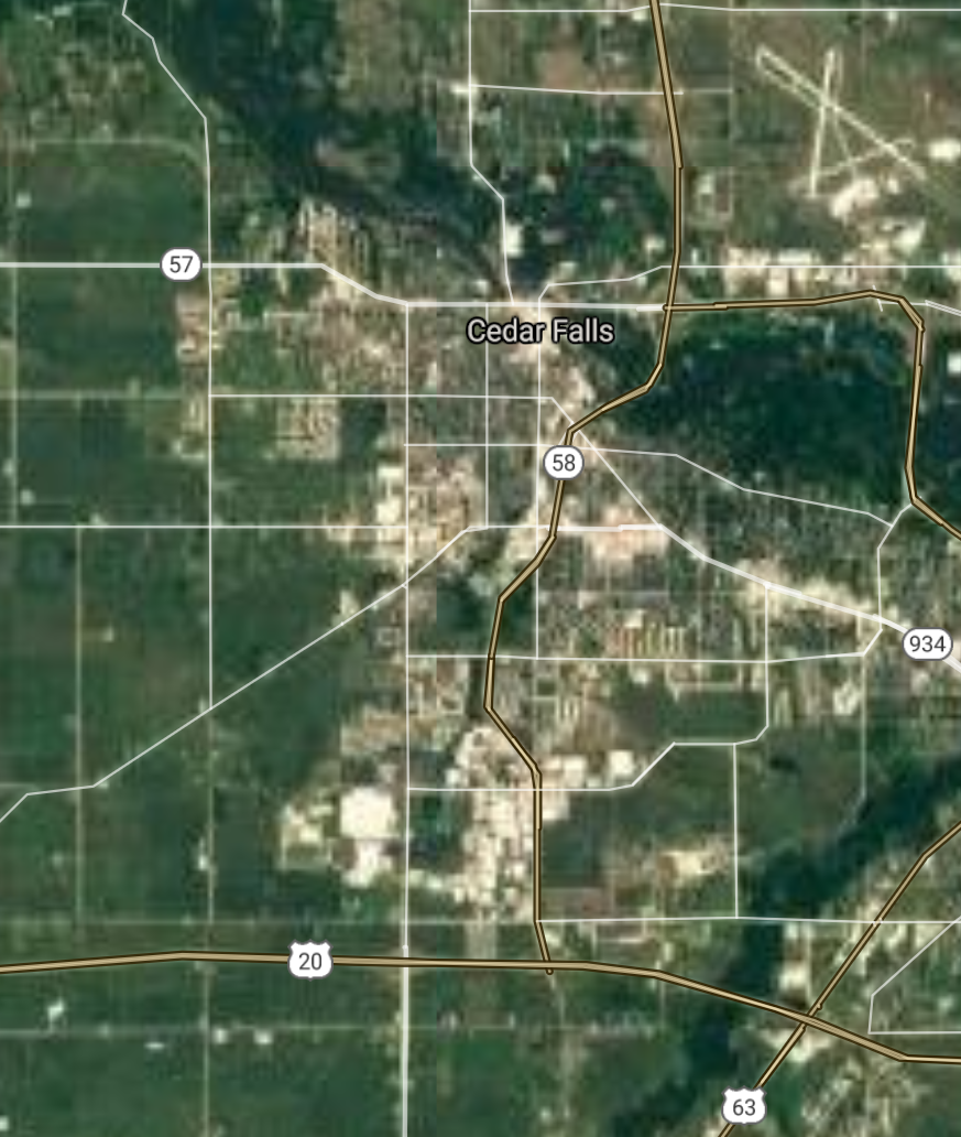
Cedar Falls [*elevation ceiling = 40km]Elevation: 263m (Group 53)
UR-100N (SLBM) |
Point A: 42.534899 00(300kt)
Point B: 42.033279 00
Point C: 41.526264 00
Point D: 43.153573 00
Point E: 42.049467 00
Point F: 41.844474 00
|
Point A: -92.445316 00(300kt)
Point B: -91.596896 00
Point C: -90.507257 00
Point D: -93.201037 00
Point E: -92.908037 00
Point F: -90.188738 00
|
|
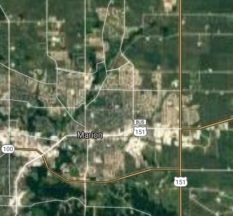
Marion [*elevation ceiling = 40km]Elevation: 260m (Group 53)
UR-100N (SLBM) |
Point A: 42.534899 00
Point B: 42.033279 00(300kt)
Point C: 41.526264 00
Point D: 43.153573 00
Point E: 42.049467 00
Point F: 41.844474 00
|
Point A: -92.445316 00
Point B: -91.596896 00(300kt)
Point C: -90.507257 00
Point D: -93.201037 00
Point E: -92.908037 00
Point F: -90.188738 00
|
|
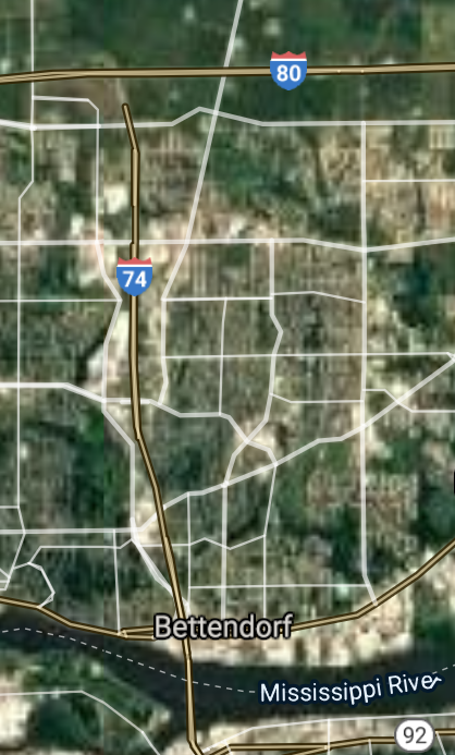
Bettendorf [*elevation ceiling = 40km]Elevation: 175m (Group 53)
UR-100N (SLBM) |
Point A: 42.534899 00
Point B: 42.033279 00
Point C: 41.526264 00(300kt)
Point D: 43.153573 00
Point E: 42.049467 00
Point F: 41.844474 00
|
Point A: -92.445316 00
Point B: -91.596896 00
Point C: -90.507257 00(300kt)
Point D: -93.201037 00
Point E: -92.908037 00
Point F: -90.188738 00
|
|
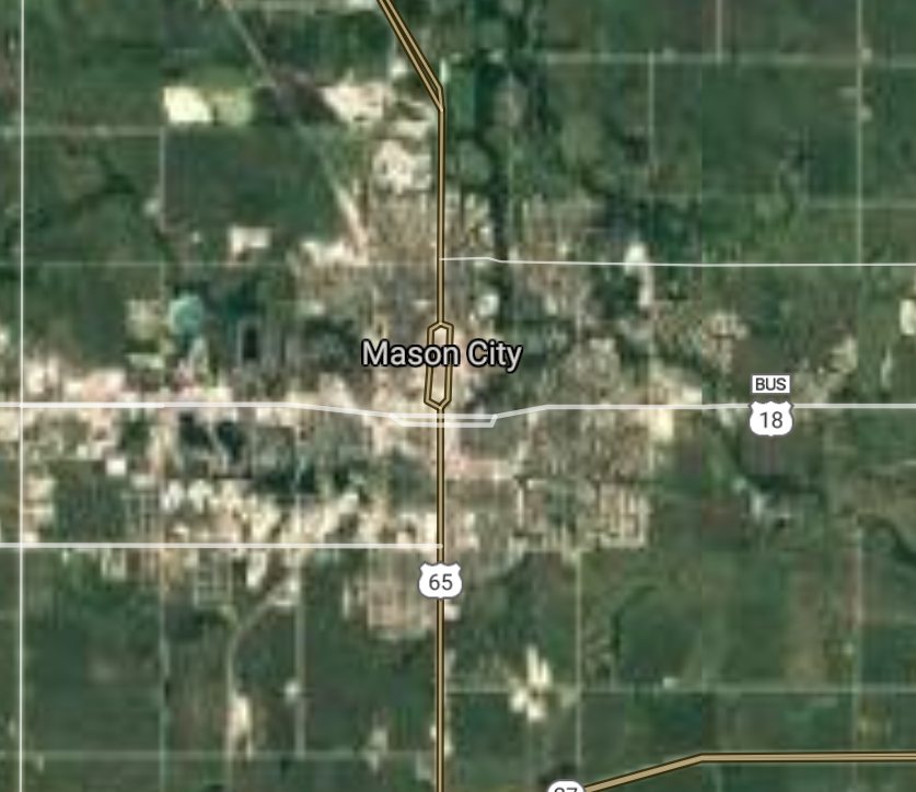
Mason City [*elevation ceiling = 40km]Elevation: 346m (Group 53)
UR-100N (SLBM) |
Point A: 42.534899 00
Point B: 42.033279 00
Point C: 41.526264 00
Point D: 43.153573 00(300kt)
Point E: 42.049467 00
Point F: 41.844474 00
|
Point A: -92.445316 00
Point B: -91.596896 00
Point C: -90.507257 00
Point D: -93.201037 00(300kt)
Point E: -92.908037 00
Point F: -90.188738 00
|
|
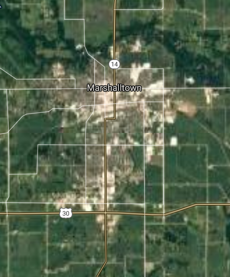
Marshalltown [*elevation ceiling = 40km]Elevation: 287m (Group 53)
UR-100N (SLBM) |
Point A: 42.534899 00
Point B: 42.033279 00
Point C: 41.526264 00
Point D: 43.153573 00
Point E: 42.049467 00(300kt)
Point F: 41.844474 00
|
Point A: -92.445316 00
Point B: -91.596896 00
Point C: -90.507257 00
Point D: -93.201037 00
Point E: -92.908037 00(300kt)
Point F: -90.188738 00
|
|
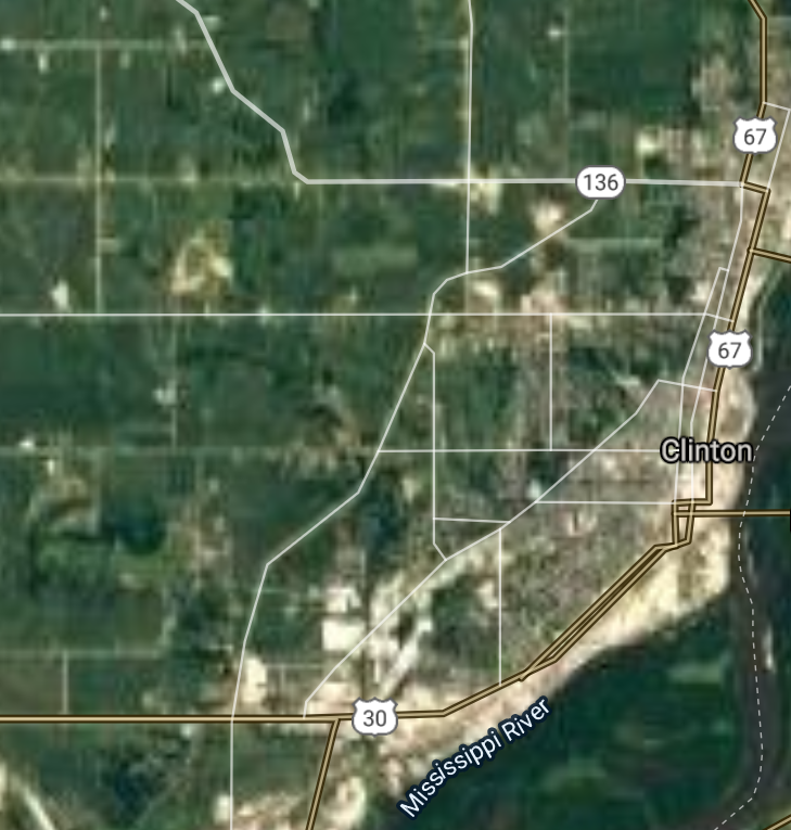
Clinton [*elevation ceiling = 40km]Elevation: 179m (Group 53)
UR-100N (SLBM) |
Point A: 42.534899 00
Point B: 42.033279 00
Point C: 41.526264 00
Point D: 43.153573 00
Point E: 42.049467 00
Point F: 41.844474 00(300kt)
|
Point A: -92.445316 00
Point B: -91.596896 00
Point C: -90.507257 00
Point D: -93.201037 00
Point E: -92.908037 00
Point F: -90.188738 00(300kt)
|
|
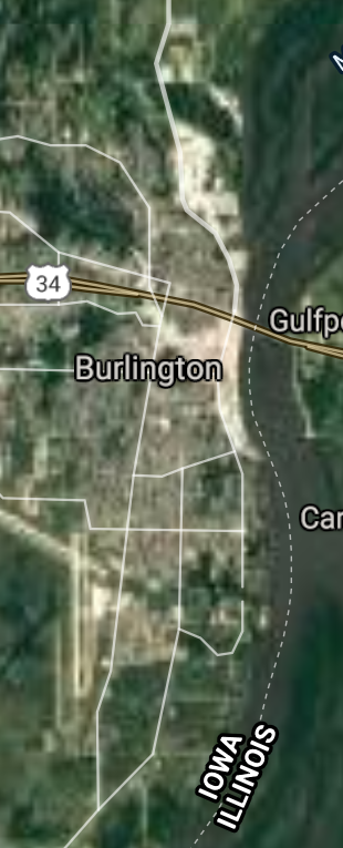
Burlington [*elevation ceiling = 40km]Elevation: 185m (Group 54)
UR-100N (SLBM) |
Point A: 40.807653 00(300kt)
Point B: 42.497469 00
Point C: 41.016029 00
Point D: 41.424473 00
Point E: 41.682276 00
Point F: 41.670983 00
|
Point A: -91.112890 00(300kt)
Point B: -94.168016 00
Point C: -92.408302 00
Point D: -91.043205 00
Point E: -91.596064 00
Point F: -93.713049 00
|
|
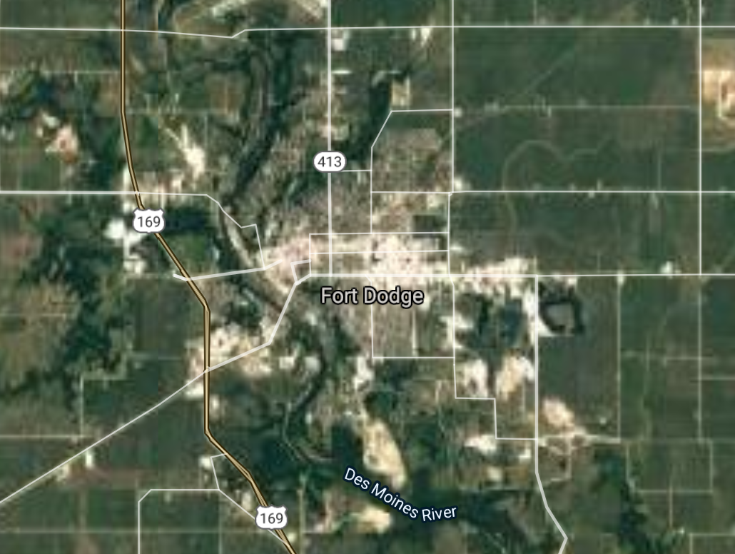
Fort Dodge [*elevation ceiling = 40km]Elevation: 338m (Group 54)
UR-100N (SLBM) |
Point A: 40.807653 00
Point B: 42.497469 00(300kt)
Point C: 41.016029 00
Point D: 41.424473 00
Point E: 41.682276 00
Point F: 41.670983 00
|
Point A: -91.112890 00
Point B: -94.168016 00(300kt)
Point C: -92.408302 00
Point D: -91.043205 00
Point E: -91.596064 00
Point F: -93.713049 00
|
|
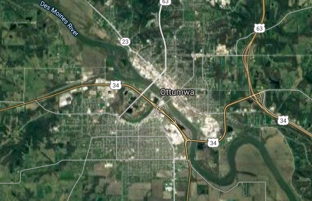
Ottumwa [*elevation ceiling = 40km]Elevation: 206m (Group 54)
UR-100N (SLBM) |
Point A: 40.807653 00
Point B: 42.497469 00
Point C: 41.016029 00(300kt)
Point D: 41.424473 00
Point E: 41.682276 00
Point F: 41.670983 00
|
Point A: -91.112890 00
Point B: -94.168016 00
Point C: -92.408302 00(300kt)
Point D: -91.043205 00
Point E: -91.596064 00
Point F: -93.713049 00
|
|
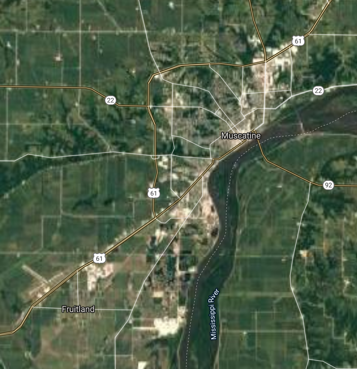
Muscatine [*elevation ceiling = 40km]Elevation: 179m (Group 54)
UR-100N (SLBM) |
Point A: 40.807653 00
Point B: 42.497469 00
Point C: 41.016029 00
Point D: 41.424473 00(300kt)
Point E: 41.682276 00
Point F: 41.670983 00
|
Point A: -91.112890 00
Point B: -94.168016 00
Point C: -92.408302 00
Point D: -91.043205 00(300kt)
Point E: -91.596064 00
Point F: -93.713049 00
|
|
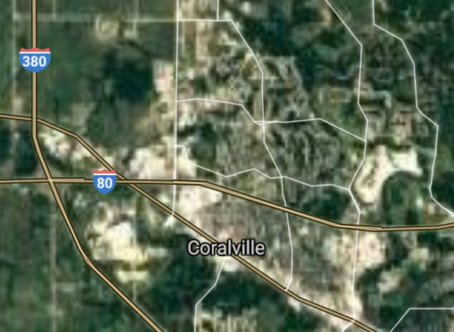
Coralville [*elevation ceiling = 40km]Elevation: 205m (Group 54)
UR-100N (SLBM) |
Point A: 40.807653 00
Point B: 42.497469 00
Point C: 41.016029 00
Point D: 41.424473 00
Point E: 41.682276 00(300kt)
Point F: 41.670983 00
|
Point A: -91.112890 00
Point B: -94.168016 00
Point C: -92.408302 00
Point D: -91.043205 00
Point E: -91.596064 00(300kt)
Point F: -93.713049 00
|
|
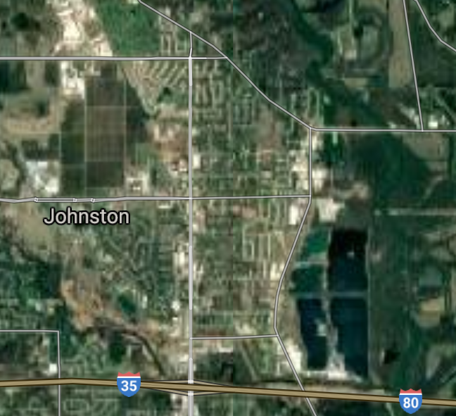
Johnston [*elevation ceiling = 40km]Elevation: 253m (Group 54)
UR-100N (SLBM) |
Point A: 40.807653 00
Point B: 42.497469 00
Point C: 41.016029 00
Point D: 41.424473 00
Point E: 41.682276 00
Point F: 41.670983 00(300kt)
|
Point A: -91.112890 00
Point B: -94.168016 00
Point C: -92.408302 00
Point D: -91.043205 00
Point E: -91.596064 00
Point F: -93.713049 00(300kt)
|
|
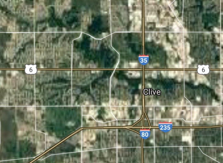
Clive [*elevation ceiling = 40km]Elevation: 272m (Group 55)
UR-100N (SLBM) |
Point A: 41.606087 00(300kt)
Point B: 41.703318 00
Point C: 41.358048 00
Point D: 41.643551 00
Point E: 41.611990 00
Point F: 41.739482 00
|
Point A: -93.772360 00(300kt)
Point B: -93.057353 00
Point C: -93.557438 00
Point D: -93.475084 00
Point E: -93.885577 00
Point F: -91.608097 00
|
|
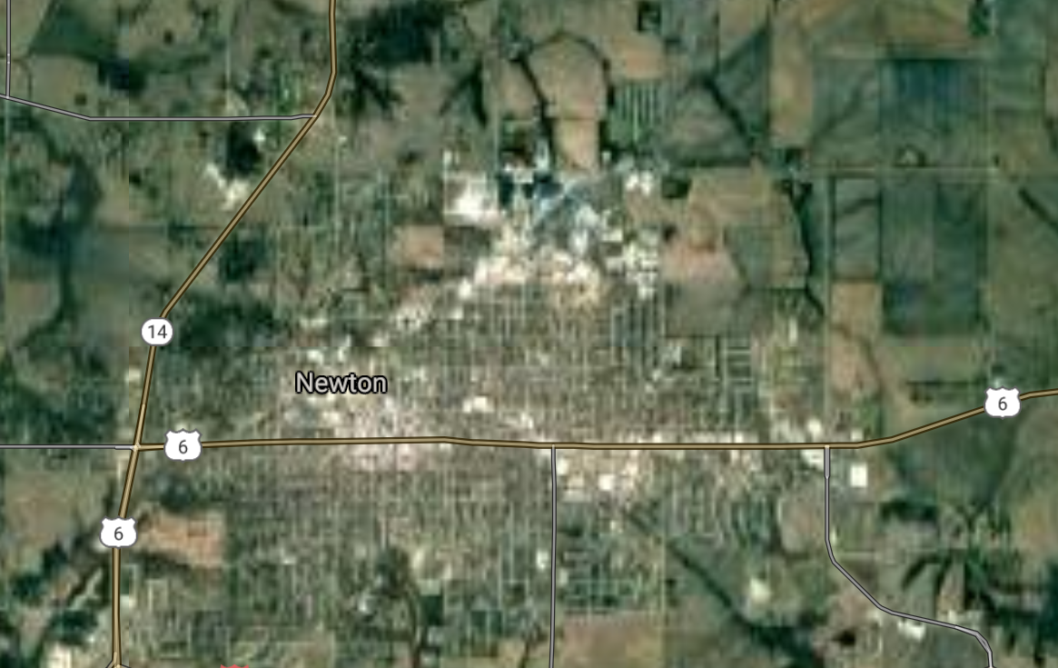
Newton [*elevation ceiling = 40km]Elevation: 289m (Group 55)
UR-100N (SLBM) |
Point A: 41.606087 00
Point B: 41.703318 00(300kt)
Point C: 41.358048 00
Point D: 41.643551 00
Point E: 41.611990 00
Point F: 41.739482 00
|
Point A: -93.772360 00
Point B: -93.057353 00(300kt)
Point C: -93.557438 00
Point D: -93.475084 00
Point E: -93.885577 00
Point F: -91.608097 00
|
|
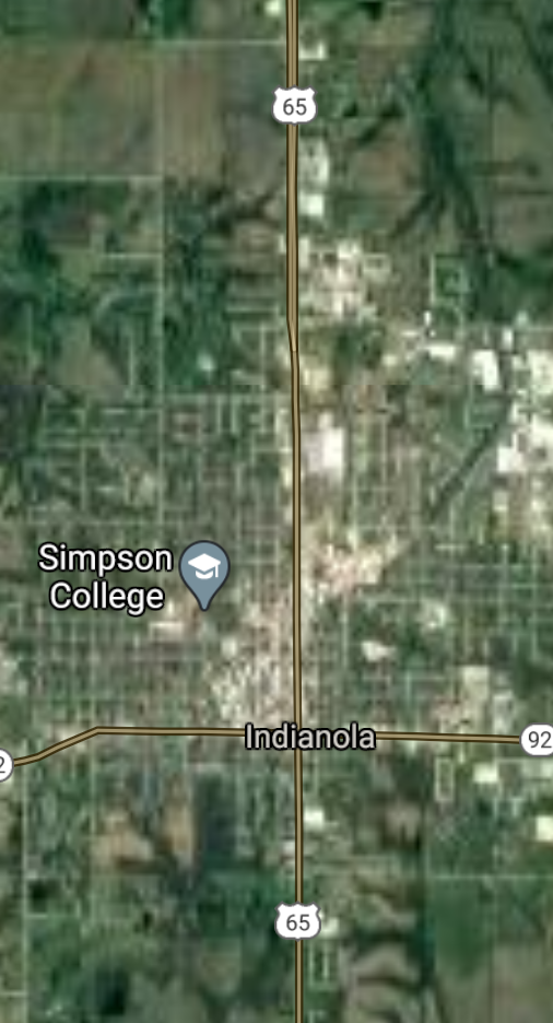
Indianola [*elevation ceiling = 40km]Elevation: 297m (Group 55)
UR-100N (SLBM) |
Point A: 41.606087 00
Point B: 41.703318 00
Point C: 41.358048 00(300kt)
Point D: 41.643551 00
Point E: 41.611990 00
Point F: 41.739482 00
|
Point A: -93.772360 00
Point B: -93.057353 00
Point C: -93.557438 00(300kt)
Point D: -93.475084 00
Point E: -93.885577 00
Point F: -91.608097 00
|
|
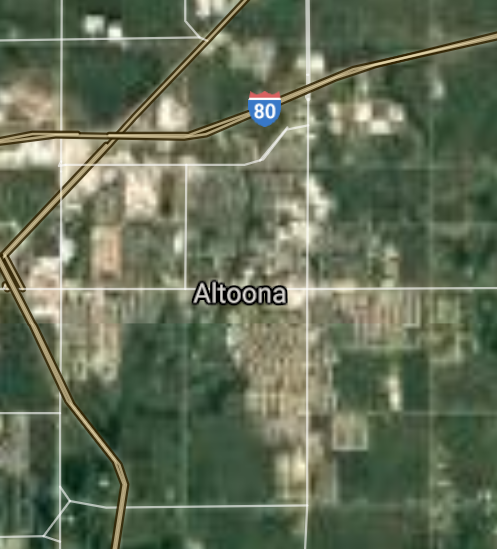
Altoona [*elevation ceiling = 40km]Elevation: 281m (Group 55)
UR-100N (SLBM) |
Point A: 41.606087 00
Point B: 41.703318 00
Point C: 41.358048 00
Point D: 41.643551 00(300kt)
Point E: 41.611990 00
Point F: 41.739482 00
|
Point A: -93.772360 00
Point B: -93.057353 00
Point C: -93.557438 00
Point D: -93.475084 00(300kt)
Point E: -93.885577 00
Point F: -91.608097 00
|
|
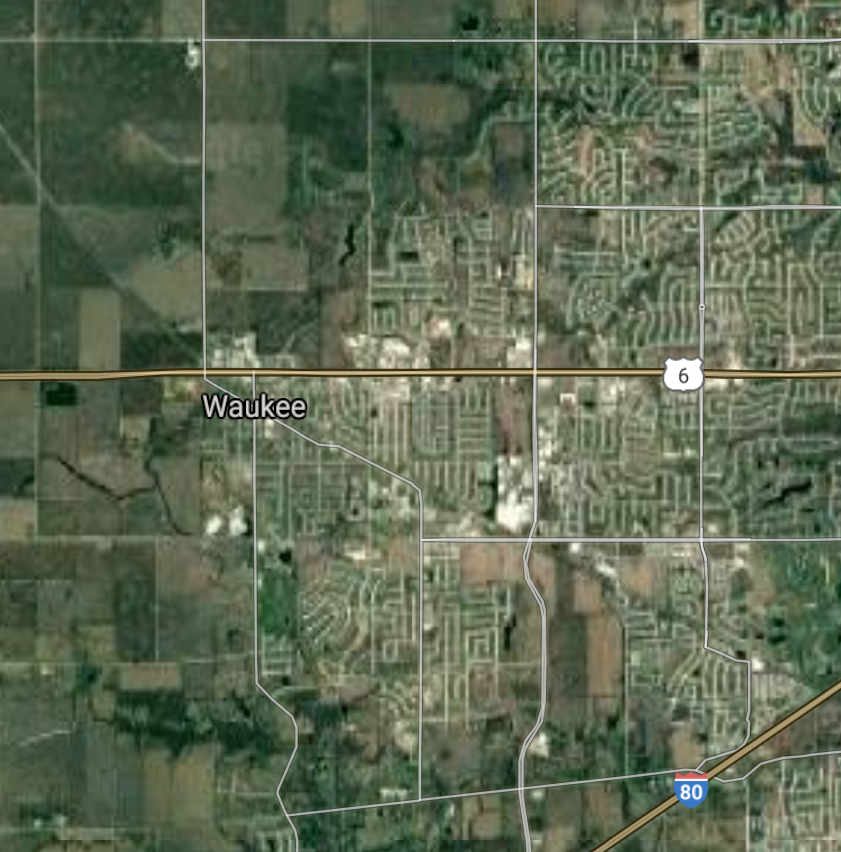
Waukee [*elevation ceiling = 40km]Elevation: 314m (Group 55)
UR-100N (SLBM) |
Point A: 41.606087 00
Point B: 41.703318 00
Point C: 41.358048 00
Point D: 41.643551 00
Point E: 41.611990 00(300kt)
Point F: 41.739482 00
|
Point A: -93.772360 00
Point B: -93.057353 00
Point C: -93.557438 00
Point D: -93.475084 00
Point E: -93.885577 00(300kt)
Point F: -91.608097 00
|
|
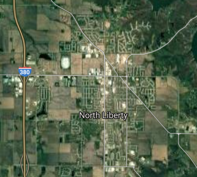
North Liberty [*elevation ceiling = 40km]Elevation: 235m (Group 55)
UR-100N (SLBM) |
Point A: 41.606087 00
Point B: 41.703318 00
Point C: 41.358048 00
Point D: 41.643551 00
Point E: 41.611990 00
Point F: 41.739482 00(300kt)
|
Point A: -93.772360 00
Point B: -93.057353 00
Point C: -93.557438 00
Point D: -93.475084 00
Point E: -93.885577 00
Point F: -91.608097 00(300kt)
|
|
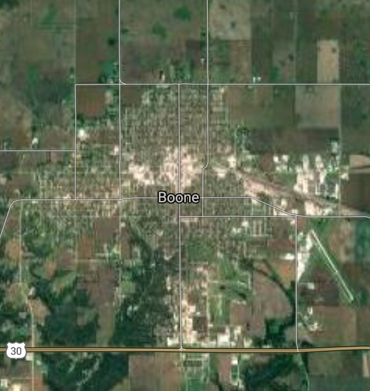
Boone [*elevation ceiling = 40km]Elevation: 346m (Group 56)
UR-100N (SLBM) |
Point A: 42.059705 00(300kt)
Point B: 41.291673 00
Point C: 43.145075 00
Point D: 40.629763 00
Point E: 40.404473 00
Point F: 42.643036 00
|
Point A: -93.880227 00(300kt)
Point B: -92.649360 00
Point C: -95.144318 00
Point D: -91.314535 00
Point E: -91.396397 00
Point F: -95.201940 00
|
|
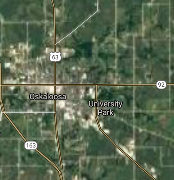
Oskaloosa [*elevation ceiling = 40km]Elevation: 257m (Group 56)
UR-100N (SLBM) |
Point A: 42.059705 00
Point B: 41.291673 00(300kt)
Point C: 43.145075 00
Point D: 40.629763 00
Point E: 40.404473 00
Point F: 42.643036 00
|
Point A: -93.880227 00
Point B: -92.649360 00(300kt)
Point C: -95.144318 00
Point D: -91.314535 00
Point E: -91.396397 00
Point F: -95.201940 00
|
|
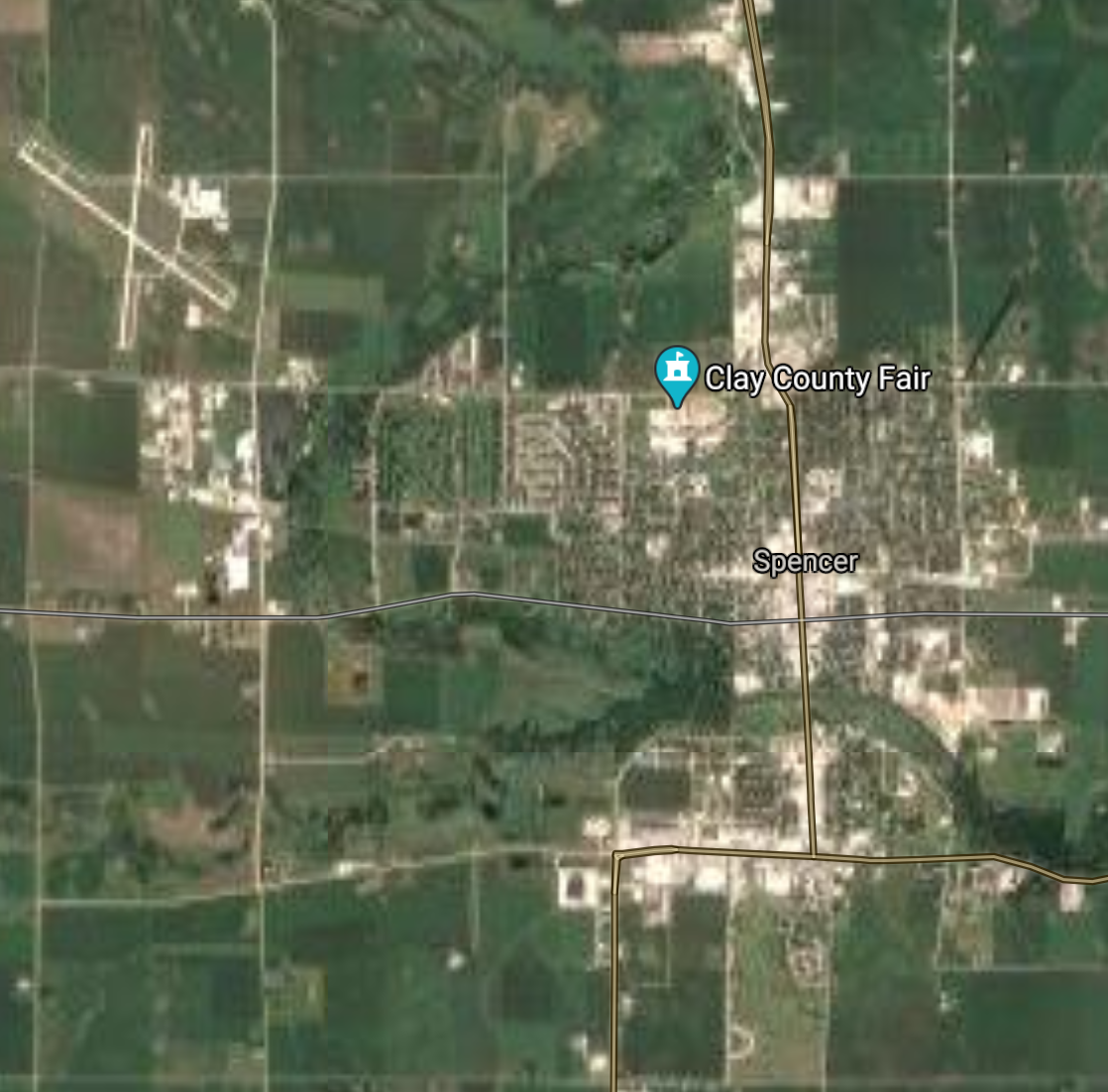
Spencer [*elevation ceiling = 40km]Elevation: 401m (Group 56)
UR-100N (SLBM) |
Point A: 42.059705 00
Point B: 41.291673 00
Point C: 43.145075 00(300kt)
Point D: 40.629763 00
Point E: 40.404473 00
Point F: 42.643036 00
|
Point A: -93.880227 00
Point B: -92.649360 00
Point C: -95.144318 00(300kt)
Point D: -91.314535 00
Point E: -91.396397 00
Point F: -95.201940 00
|
|
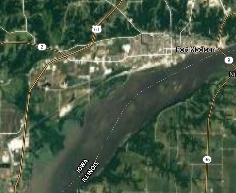
Fort Madison [*elevation ceiling = 40km]Elevation: 160m (Group 56)
UR-100N (SLBM) |
Point A: 42.059705 00
Point B: 41.291673 00
Point C: 43.145075 00
Point D: 40.629763 00(300kt)
Point E: 40.404473 00
Point F: 42.643036 00
|
Point A: -93.880227 00
Point B: -92.649360 00
Point C: -95.144318 00
Point D: -91.314535 00(300kt)
Point E: -91.396397 00
Point F: -95.201940 00
|
|
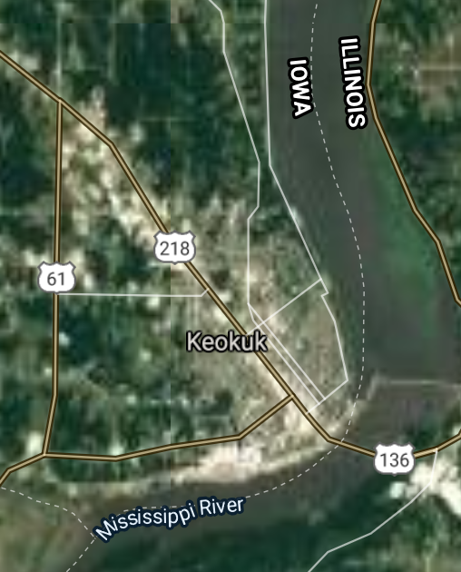
Keokuk [*elevation ceiling = 40km]Elevation: 184m (Group 56)
UR-100N (SLBM) |
Point A: 42.059705 00
Point B: 41.291673 00
Point C: 43.145075 00
Point D: 40.629763 00
Point E: 40.404473 00(300kt)
Point F: 42.643036 00
|
Point A -93.880227 00
Point B: -92.649360 00
Point C: -95.144318 00
Point D: -91.314535 00
Point E: -91.396397 00(300kt)
Point F: -95.201940 00
|
|
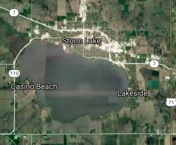
Storm Lake [*elevation ceiling = 40km]Elevation: 437m (Group 56)
UR-100N (SLBM) |
Point A: 42.059705 00
Point B: 41.291673 00
Point C: 43.145075 00
Point D: 40.629763 00
Point E: 40.404473 00
Point F: 42.643036 00(300kt)
|
Point A: -93.880227 00
Point B: -92.649360 00
Point C: -95.144318 00
Point D: -91.314535 00
Point E: -91.396397 00
Point F: -95.201940 00(300kt)
|
|
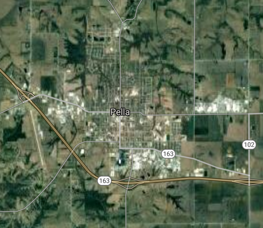
Pella [*elevation ceiling = 40km]Elevation: 270m (Group 57)
UR-100N (SLBM) |
Point A: 41.408033 00(300kt)
Point B: 42.065599 00
Point C: 42.727203 00
Point D: 42.794157 00
Point E: 41.007611 00
Point F: 41.743409 00
|
Point A: -92.916405 00(300kt)
Point B: -94.867279 00
Point C: -92.466851 00
Point D: -96.165578 00
Point E: -91.963691 00
Point F: -92.723246 00
|
|
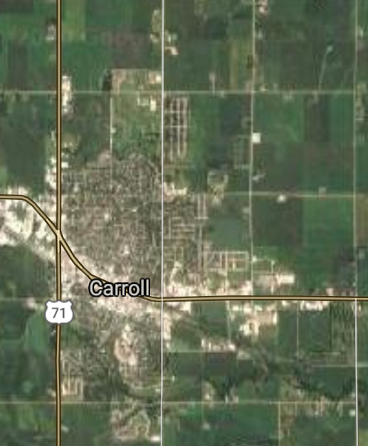
Carroll [*elevation ceiling = 40km]Elevation: 388m (Group 57)
UR-100N (SLBM) |
Point A: 41.408033 00
Point B: 42.065599 00(300kt)
Point C: 42.727203 00
Point D: 42.794157 00
Point E: 41.007611 00
Point F: 41.743409 00
|
Point A: -92.916405 00
Point B: -94.867279 00(300kt)
Point C: -92.466851 00
Point D: -96.165578 00
Point E: -91.963691 00
Point F: -92.723246 00
|
|
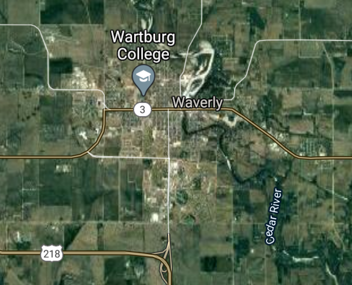
Waverly [*elevation ceiling = 40km]Elevation: 281m (Group 57)
UR-100N (SLBM) |
Point A: 41.408033 00
Point B: 42.065599 00
Point C: 42.727203 00(300kt)
Point D: 42.794157 00
Point E: 41.007611 00
Point F: 41.743409 00
|
Point A: -92.916405 00
Point B: -94.867279 00
Point C: -92.466851 00(300kt)
Point D: -96.165578 00
Point E: -91.963691 00
Point F: -92.723246 00
|
|
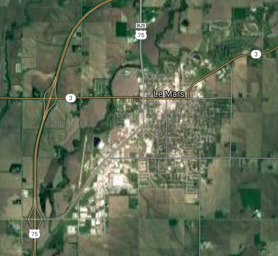
Le Mars [*elevation ceiling = 40km]Elevation: 375m (Group 57)
UR-100N (SLBM) |
Point A: 41.408033 00
Point B: 42.065599 00
Point C: 42.727203 00
Point D: 42.794157 00(300kt)
Point E: 41.007611 00
Point F: 41.743409 00
|
Point A: -92.916405 00
Point B: -94.867279 00
Point C: -92.466851 00
Point D: -96.165578 00(300kt)
Point E: -91.963691 00
Point F: -92.723246 00
|
|
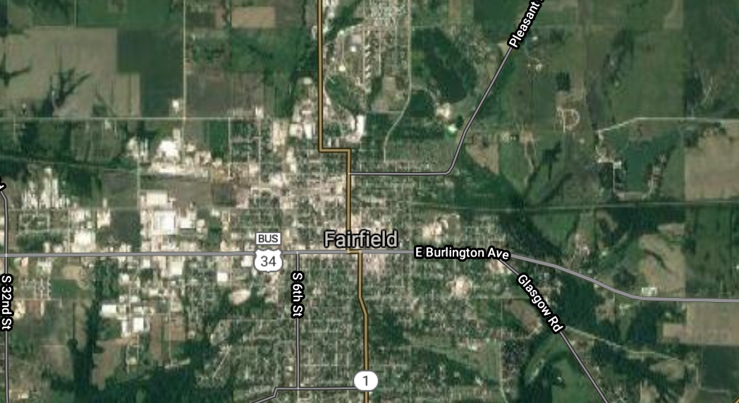
Fairfield [*elevation ceiling = 40km]Elevation: 236m (Group 57)
UR-100N (SLBM) |
Point A: 41.408033 00
Point B: 42.065599 00
Point C: 42.727203 00
Point D: 42.794157 00
Point E: 41.007611 00(300kt)
Point F: 41.743409 00
|
Point A: -92.916405 00
Point B: -94.867279 00
Point C: -92.466851 00
Point D: -96.165578 00
Point E: -91.963691 00(300kt)
Point F: -92.723246 00
|
|
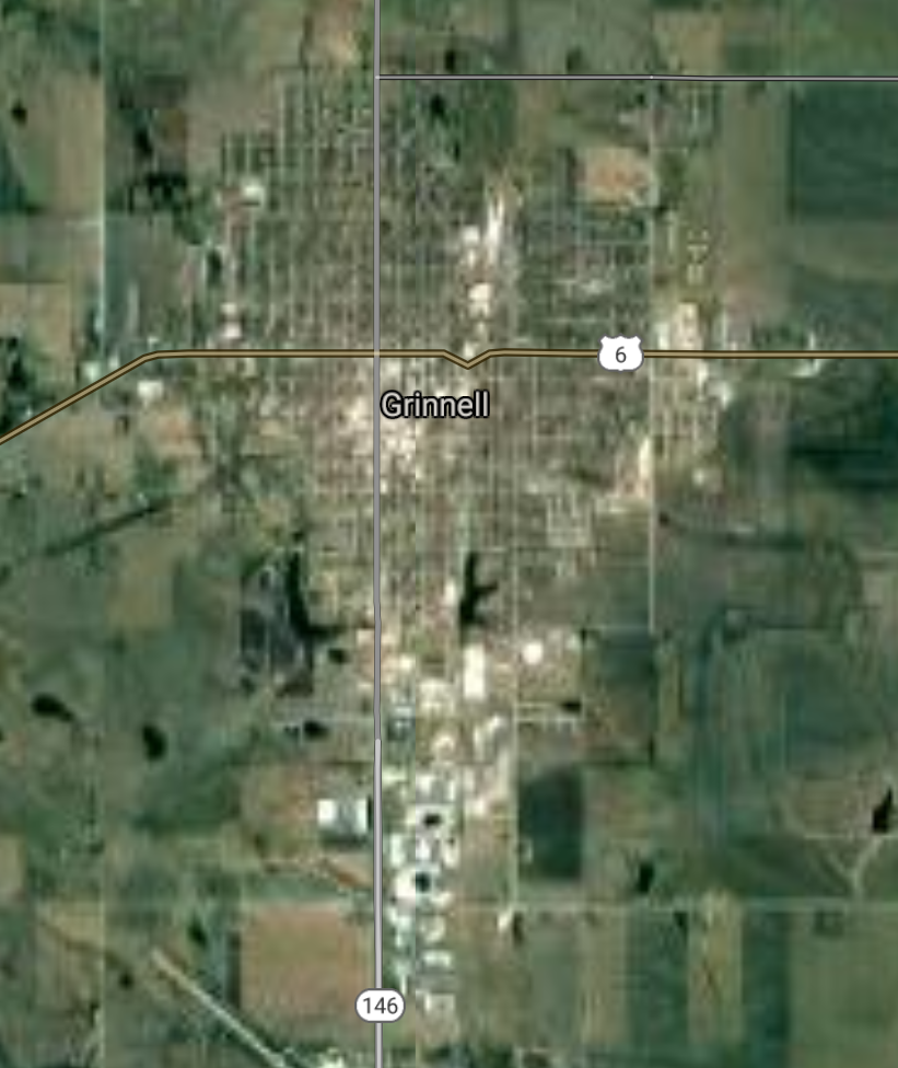
Grinnell [*elevation ceiling = 40km]Elevation: 311m (Group 57)
UR-100N (SLBM) |
Point A: 41.408033 00
Point B: 42.065599 00
Point C: 42.727203 00
Point D: 42.794157 00
Point E: 41.007611 00
Point F: 41.743409 00(300kt)
|
Point A: -92.916405 00
Point B: -94.867279 00
Point C: -92.466851 00
Point D: -96.165578 00
Point E: -91.963691 00
Point F: -92.723246 00(300kt)
|
|
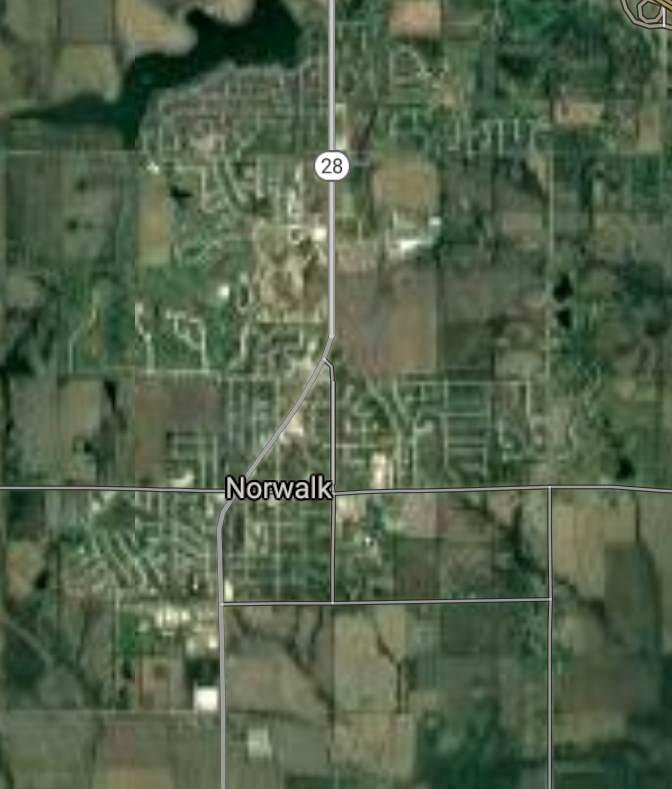
Norwalk [*elevation ceiling = 40km]Elevation: 290m (Group 58)
UR-100N (SLBM) |
Point A: 41.475546 00(300kt)
Point B: 41.587390 00
Point C: 40.971696 00
Point D: 42.024988 00
Point E: 41.688365 00
Point F: 43.303306 00
|
Point A: -93.678830 00(300kt)
Point B: -93.519614 00
Point C: -91.548771 00
Point D: -95.358887 00
Point E: -93.792520 00
Point F: -91.785709 00
|
|
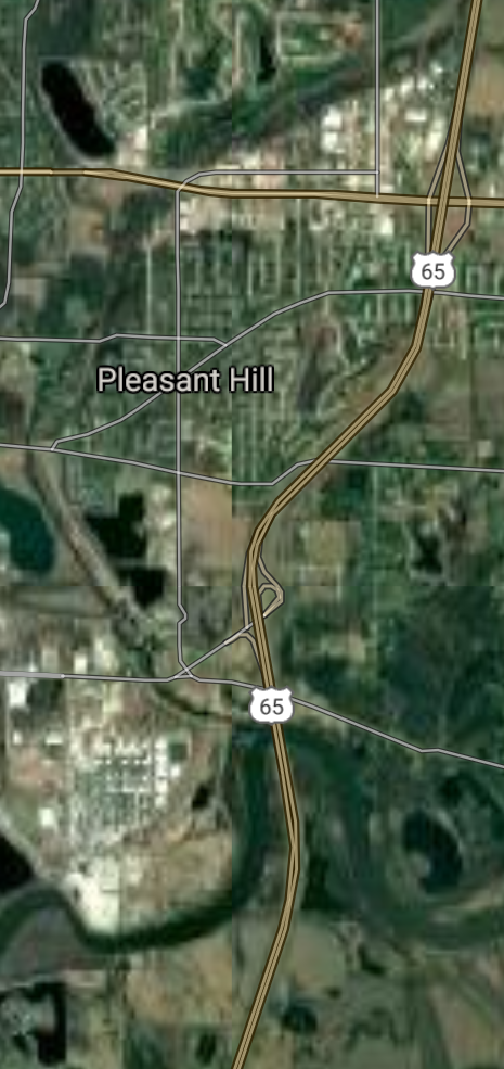
Pleasant Hill [*elevation ceiling = 40km]Elevation: 268m (Group 58)
UR-100N (SLBM) |
Point A: 41.475546 00
Point B: 41.587390 00(300kt)
Point C: 40.971696 00
Point D: 42.024988 00
Point E: 41.688365 00
Point F: 43.303306 00
|
Point A: -93.678830 00
Point B: -93.519614 00(300kt)
Point C: -91.548771 00
Point D: -95.358887 00
Point E: -93.792520 00
Point F: -91.785709 00
|
|
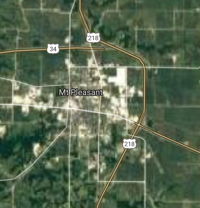
Mount Pleasant [*elevation ceiling = 40km]Elevation: 221m (Group 58)
UR-100N (SLBM) |
Point A: 41.475546 00
Point B: 41.587390 00
Point C: 40.971696 00(300kt)
Point D: 42.024988 00
Point E: 41.688365 00
Point F: 43.303306 00
|
Point A: -93.678830 00
Point B: -93.519614 00
Point C: -91.548771 00(300kt)
Point D: -95.358887 00
Point E: -93.792520 00
Point F: -91.785709 00
|
|
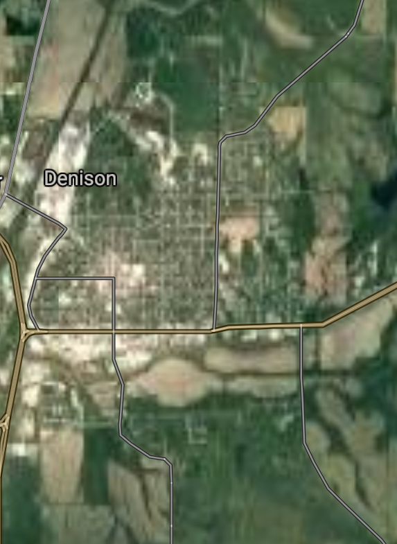
Denison [*elevation ceiling = 40km]Elevation: 359m (Group 58)
UR-100N (SLBM) |
Point A: 41.475546 00
Point B: 41.587390 00
Point C: 40.971696 00
Point D: 42.024988 00(300kt)
Point E: 41.688365 00
Point F: 43.303306 00
|
Point A: -93.678830 00
Point B: -93.519614 00
Point C: -91.548771 00
Point D: -95.358887 00(300kt)
Point E: -93.792520 00
Point F: -91.785709 00
|
|
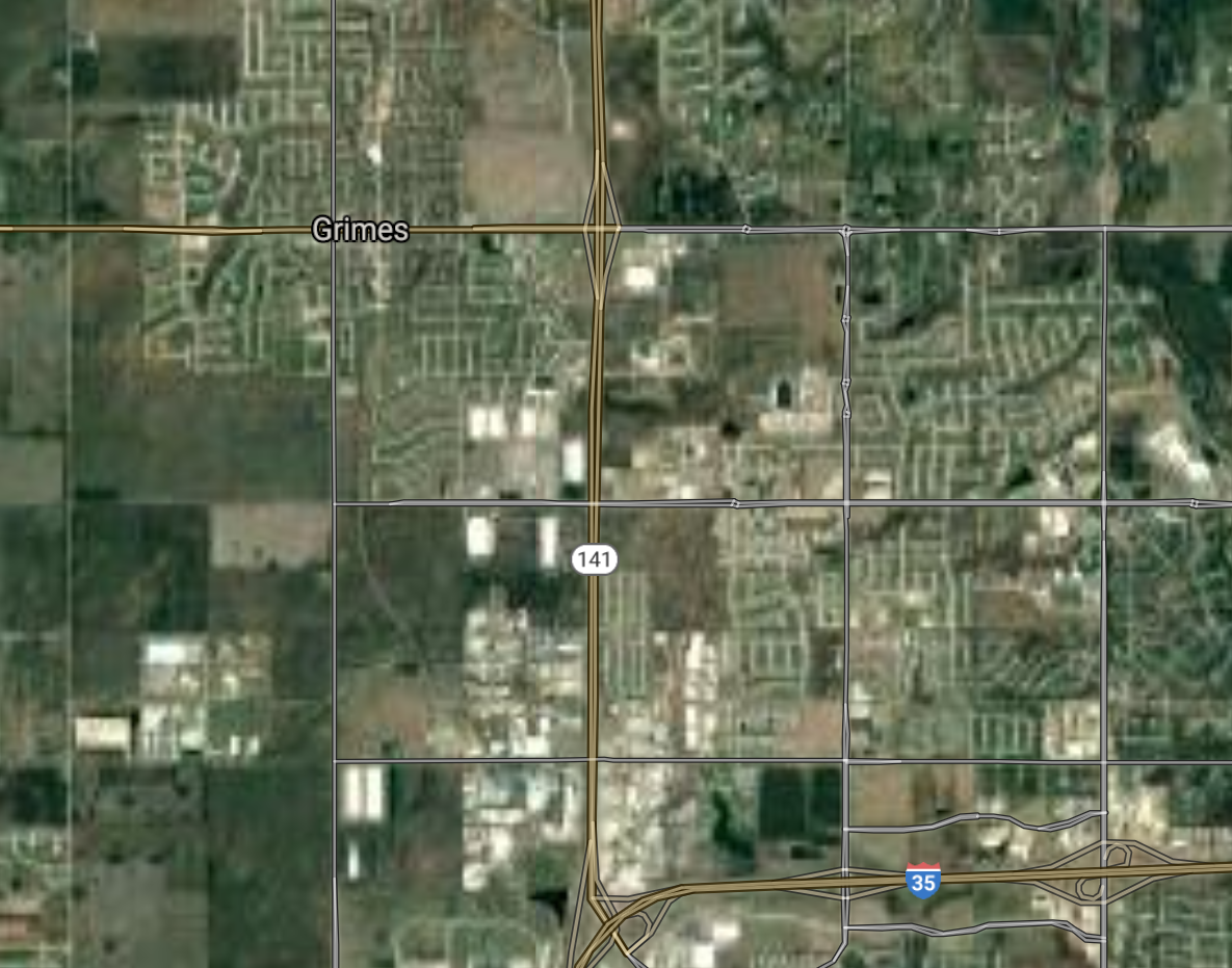
Grimes [*elevation ceiling = 40km]Elevation: 291m (Group 58)
UR-100N (SLBM) |
Point A: 41.475546 00
Point B: 41.587390 00
Point C: 40.971696 00
Point D: 42.024988 00
Point E: 41.688365 00(300kt)
Point F: 43.303306 00
|
Point A: -93.678830 00
Point B: -93.519614 00
Point C: -91.548771 00
Point D: -95.358887 00
Point E: -93.792520 00(300kt)
Point F: -91.785709 00
|
|
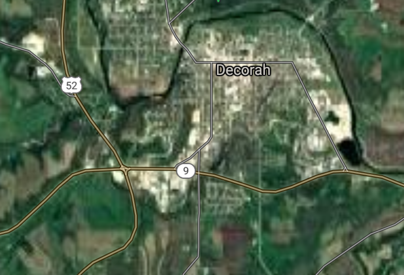
Decorah [*elevation ceiling = 40km]Elevation: 266m (Group 58)
UR-100N (SLBM) |
Point A: 41.475546 00
Point B: 41.587390 00
Point C: 40.971696 00
Point D: 42.024988 00
Point E: 41.688365 00
Point F: 43.303306 00(300kt)
|
Point A: -93.678830 00
Point B: -93.519614 00
Point C: -91.548771 00
Point D: -95.358887 00
Point E: -93.792520 00
Point F: -91.785709 00(300kt)
|
[Top]
Open START: Central Basin
"BRICS Security Council emerging from cross-currency evaluations"
OPEN Start: Central Basin - is an engineering vessel which is proven with climate security in evaluation of the USD/YEN currency pair. Annually, climate security is leading economic growth in key emerging markets surrounding the Four Asian Tigers. Affordably, the following industries extend opportunities for military cooperation: aerospace, telecommunications, finance and banking. OPEN Start: Central Basin strengthens the backbone for international security beyond the shadows of USD/YEN controversy. Traversely, OPEN Start: Central Basin offsets the cross-over gap between the USD/MXN and USD/RUB exchange rates. Notably, the Three Amigas form an economic alliance in the Far West through joint-cooperation projects from Venture 1, Venture LA and Venture SF which all extend with the Far North reach towards the Far South (as illustrated below).
![]()
![]()
![]()
![]()
![]()
![]()
![]()
![]()
![]()
JanuaryFebruaryMarchAprilJuneJulySeptemberOctoberDecember |
2026 Group Drills - Schedule
|
|

JanuaryFebruaryJuneJulyAugustOctoberNovemberDecember |
2026 Group Drills - Schedule
|
|

JanuaryFebruaryJuneJulySeptemberOctoberNovemberDecember |
2026 Group Drills - Schedule
|
|
