


|
 Hollywood, JSC
Mendocino, JSC
LA SOCIETY
SF SOCIETY
NY SOCIETY
Open START Drills
Hollywood, JSC
Mendocino, JSC
LA SOCIETY
SF SOCIETY
NY SOCIETY
Open START Drills
 Talk Daily Commodities Review LATPACT Open Market Equities Report Currency Central
 Insider: Situation US
 |

|

|

|
 |
SOCIETY Trust Fund LATPACT Trust Fund LATPACT Open Market Far West (SEZ) Trust RIM of Nations Trust
Arctic Pact Trade Zone | Upper Rhine Zone | Lower Rhine Zone | Middle Rhone Basin
| Level 2 - Open START/*Super Grid |
| Level 3 - Stellar Fields |


Climate Central News & Information
 "US attempts to salvage the European Order with an Oceania based clan-style coalition"
Population Conversations: 486,825
Planet Power Seconds
 Glance at NATO
 In early 2018, UNITED STATES ARMY COMMANDER, GENERAL CURTIS M. SCAPARROTTI delivered the posture statement for NATO. He stated, "As our most significant trading partner, Europe is vital to promoting American prosperity. With shared history and values, Europe is also a critical partner in advancing American influence throughout the world. The North Atlantic Treaty Organization (NATO) enables us to preserve peace through strength as alliance unity fundamentally deters the aggression of potential adversaries."
Moreover, General Scaparrotti said, "Russia continues to destabilize regional security and disregard international norms, which have preserved the peace in Europe since 1945. Russia seeks to change the international order, fracture NATO, and undermine U.S. leadership in order to protect its regime, re-assert dominance over its neighbors, and achieve greater influence around the globe. To achieve these ends, the Kremlin is prepared to employ the full spectrum of Russia’s power, to include forcefully using its increasingly capable military."
United Nations Command: AUKUSA/Quad 4
 Extensively, the Central Basin is transforming international security while disabling NATO, AUKUSA and the Quad 4 military alliances with the Open START Hawaii and Open START Alaska drills. Inherently, the Central Basin fleet suppresses the UN Command over security backlogs as the Global South impedes expansion for the Japanese yen. Economically, the US dollar bounds NATO, AUKUSA and the Quad 4 alliances under one entity in the wake of the 2007 housing crises, COVID-19 recovery and war in Ukraine. Generously, the Upper Rhine pass bridges the Open START Hawaii and Open START Alaska drills which stabilize international and climate security. Uniquely, Open START drills for the Upper Rhine pass pegs the value of the Japanese yen and Korean Won to the Chinese yuan, Indian rupee, Russian ruble, and Mexican peso to enable economic transformation for the Central Basin region. Effectively, the Open START drill secures the yen in cooperation with the Global South as significant growth on the New Silk Road Economic Belt extends in Africa. Suitably, the Open START drill baffles the UN Command with the Upper Rhine pass as the historical value is at stake. Judiciously, the Open START drill isolates the UN Command over Level 1 protocol which underpins NATO, AUKUSA and the Quad 4 military alliances to Celtic Briton tribes.
The OSCE and NATO: From the Arctic Circle
 Historically, military conflicts include land navigation rivalry which is significant for the Lower Rhine corridor as tensions between the Eastern and Western hemisphere ignite over political testimony. Substantially, the US has interspersed armed forces in the EU with the connivance of NATO and the OSCE to subjugate the Arctic Circle and dominate international trade from the Middle East. Tacitly, the OSCE is equipped to engineer early warnings, conflict resolution and crisis management over military tensions with NATO to inseminate the world order of law and justice. Decisively, the Open START Iceland drill unify the corners of the world to combat the historical West from the Arctic Circle over climate security, war crimes and crimes against humanity. Particularly, normalized ties to Israel for the Lower Rhine corridor weighs over rising Eastern influence from the Near East which is a major factor in the Open START Iceland drill. Efficiently, the Open START Iceland drill balances political, economic and military parity between the historical East and West which is threatened from the incumbency of trade sanctions and escalating military tensions in the West.
*Schedule of Nuclear Attack
Be advised: The specific plan of attack for West Virginia is sensitive and will be posted here closer to its scheduled strike.
West Virginia
AL* | AZ* | AR* | CO | CT | DE | FL | GA | ID | IN | IA | KS | KY | LA | ME | MD
MA | MI | MN | MO | MT | NE | NV | NH | NJ | NM | NY | NC | ND | OH | OK | OR | PA | RI | SC
SD | TN | TX | UT | VA (DC)** | VT** | WA** | WV** | WI** | WY**
*Central Fleet South  Bulava + RT23 Cadet + Vysota3
Team: Memphis Fire (Local Area Control)
**Central Fleet North Bulava + Surya + Vysota3
Open START (RKS) |
Groups UR258 - UR265 | *300kt | Millineum Power *4,000 MW
Level 1 - WA Dong (SIT.2) 
West Virginia |
Latitude Coordinate |
Longitude Coordinate |
|
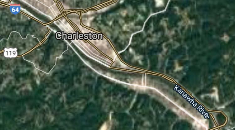
Charleston [*elevation ceiling = 40km]Elevation: 182m (Group 258)
UR-100N (SLBM) |
Point A: 38.349820 00(300kt)
Point B: 38.419250 00
Point C: 39.629526 00
Point D: 39.266742 00
Point E: 40.063962 00
Point F: 40.418957 00
Open START Passages |
Point A: -81.632623 00(300kt)
Point B: -82.445154 00
Point C: -79.955897 00
Point D: -81.561513 00
Point E: -80.720915 00
Point F: -80.589517 00
Demonstration |
|
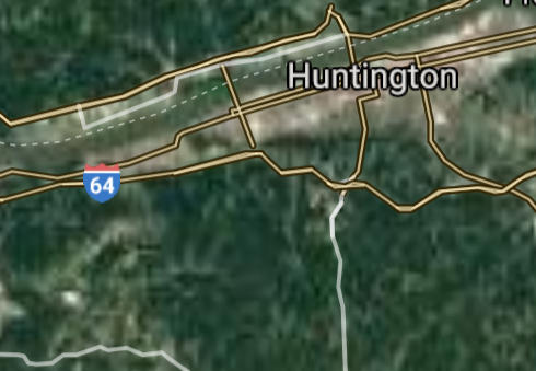
Huntington [*elevation ceiling = 40km]Elevation: 172m (Group 258)
UR-100N (SLBM) |
Point A: 38.349820 00
Point B: 38.419250 00(300kt)
Point C: 39.629526 00
Point D: 39.266742 00
Point E: 40.063962 00
Point F: 40.418957 00
|
Point A: -81.632623 00
Point B: -82.445154 00(300kt)
Point C: -79.955897 00
Point D: -81.561513 00
Point E: -80.720915 00
Point F: -80.589517 00
|
|
Morgantown [*elevation ceiling = 40km]Elevation: 271m (Group 258)
UR-100N (SLBM) |
Point A: 38.349820 00
Point B: 38.419250 00
Point C: 39.629526 00(300kt)
Point D: 39.266742 00
Point E: 40.063962 00
Point F: 40.418957 00
|
Point A: -81.632623 00
Point B: -82.445154 00
Point C: -79.955897 00(300kt)
Point D: -81.561513 00
Point E: -80.720915 00
Point F: -80.589517 00
|
|
Parkersburg [*elevation ceiling = 40km]Elevation: 187m (Group 258)
UR-100N (SLBM) |
Point A: 38.349820 00
Point B: 38.419250 00
Point C: 39.629526 00
Point D: 39.266742 00(300kt)
Point E: 40.063962 00
Point F: 40.418957 00
|
Point A: -81.632623 00
Point B: -82.445154 00
Point C: -79.955897 00
Point D: -81.561513 00(300kt)
Point E: -80.720915 00
Point F: -80.589517 00
|
|
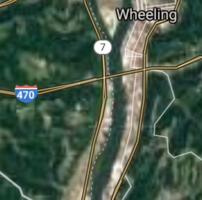
Wheeling [*elevation ceiling = 40km]Elevation: 203m (Group 258)
UR-100N (SLBM) |
Point A: 38.349820 00
Point B: 38.419250 00
Point C: 39.629526 00
Point D: 39.266742 00
Point E: 40.063962 00(300kt)
Point F: 40.418957 00
|
Point A: -81.632623 00
Point B: -82.445154 00
Point C: -79.955897 00
Point D: -81.561513 00
Point E: -80.720915 00(300kt)
Point F: -80.589517 00
|
|
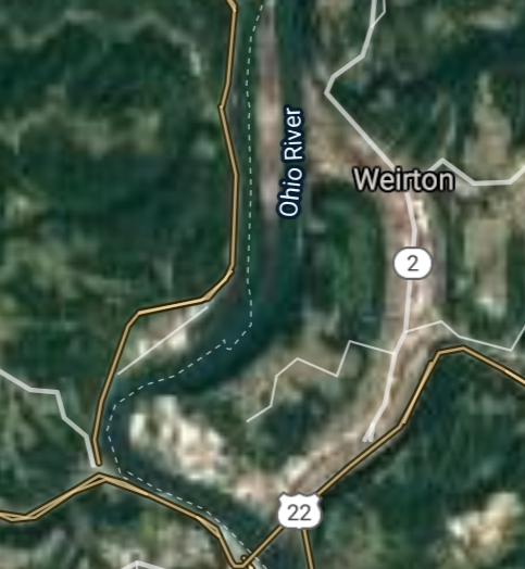
Weirton [*elevation ceiling = 40km]Elevation: 258 (Group 266)
UR-100N (SLBM) |
Point A: 38.349820 00
Point B: 38.419250 00
Point C: 39.629526 00
Point D: 39.266742 00
Point E: 40.063962 00
Point F: 40.418957 00(300kt)
|
Point A: -81.632623 00
Point B: -82.445154 00
Point C: -79.955897 00
Point D: -81.561513 00
Point E: -80.720915 00
Point F: -80.589517 00(300kt)
|
|
Fairmont [*elevation ceiling = 40km]Elevation: 301m (Group 259)
UR-100N (SLBM) |
Point A: 39.485085 00(300kt)
Point B: 39.456210 00
Point C: 37.778170 00
Point D: 39.280645 00
Point E: 38.368552 00
Point F: 38.379370 00
|
Point A: -80.142578 00(300kt)
Point B: -77.963887 00
Point C: -81.188156 00
Point D: -80.344534 00
Point E: -81.699886 00
Point F: -81.819166 00
|
|
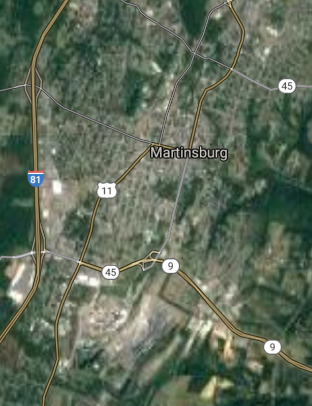
Martinsburg [*elevation ceiling = 40km]Elevation: 138m (Group 259)
UR-100N (SLBM) |
Point A: 39.485085 00
Point B: 39.456210 00(300kt)
Point C: 37.778170 00
Point D: 39.280645 00
Point E: 38.368552 00
Point F: 38.379370 00
|
Point A: -80.142578 00
Point B: -77.963887 00(300kt)
Point C: -81.188156 00
Point D: -80.344534 00
Point E: -81.699886 00
Point F: -81.819166 00
|
|
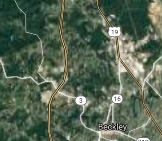
Beckley [*elevation ceiling = 40km]Elevation: 738m (Group 259)
UR-100N (SLBM) |
Point A: 39.485085 00
Point B: 39.456210 00
Point C: 37.778170 00(300kt)
Point D: 39.280645 00
Point E: 38.368552 00
Point F: 38.379370 00
|
Point A: -80.142578 00
Point B: -77.963887 00
Point C: -81.188156 00(300kt)
Point D: -80.344534 00
Point E: -81.699886 00
Point F: -81.819166 00
|
|
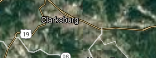
Clarksburg [*elevation ceiling = 40km]Elevation: 303m (Group 259)
UR-100N (SLBM) |
Point A: 39.485085 00
Point B: 39.456210 00
Point C: 37.778170 00
Point D: 39.280645 00(300kt)
Point E: 38.368552 00
Point F: 38.379370 00
|
Point A: -80.142578 00
Point B: -77.963887 00
Point C: -81.188156 00
Point D: -80.344534 00(300kt)
Point E: -81.699886 00
Point F: -81.819166 00
|
|
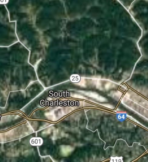
South Charleston [*elevation ceiling = 40km]Elevation: 183m (Group 259)
UR-100N (SLBM) |
Point A: 39.485085 00
Point B: 39.456210 00
Point C: 37.778170 00
Point D: 39.280645 00
Point E: 38.368552 00(300kt)
Point F: 38.379370 00
|
Point A: -80.142578 00
Point B: -77.963887 00
Point C: -81.188156 00
Point D: -80.344534 00
Point E: -81.699886 00(300kt)
Point F: -81.819166 00
|
|
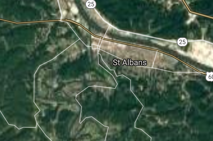
St. Albans [*elevation ceiling = 40km]Elevation: 186m (Group 259)
UR-100N (SLBM) |
Point A: 39.485085 00
Point B: 39.456210 00
Point C: 37.778170 00
Point D: 39.280645 00
Point E: 38.368552 00
Point F: 38.379370 00(300kt)
|
Point A: -80.142578 00
Point B: -77.963887 00
Point C: -81.188156 00
Point D: -80.344534 00
Point E: -81.699886 00
Point F: -81.819166 00(300kt)
|
|
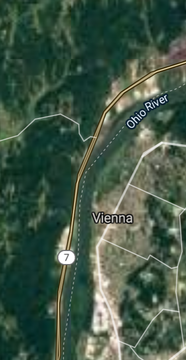
Vienna [*elevation ceiling = 40km]Elevation: 194m (Group 260)
UR-100N (SLBM) |
Point A: 39.327019 00(300kt)
Point B: 37.269840 00
Point C: 39.920353 00
Point D: 39.286479 00
Point E: 37.972334 00
Point F: 38.360651 00
|
Point A: -81.548458 00(300kt)
Point B: -81.222320 00
Point C: -80.743141 00
Point D: -80.256198 00
Point E: -81.148713 00
Point F: -81.737349 00
|
|
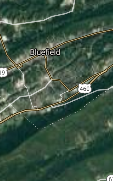
Bluefield [*elevation ceiling = 40km]Elevation: 784m (Group 260)
UR-100N (SLBM) |
Point A: 39.327019 00
Point B: 37.269840 00(300kt)
Point C: 39.920353 00
Point D: 39.286479 00
Point E: 37.972334 00
Point F: 38.360651 00
|
Point A: -81.548458 00
Point B: -81.222320 00(300kt)
Point C: -80.743141 00
Point D: -80.256198 00
Point E: -81.148713 00
Point F: -81.737349 00
|
|
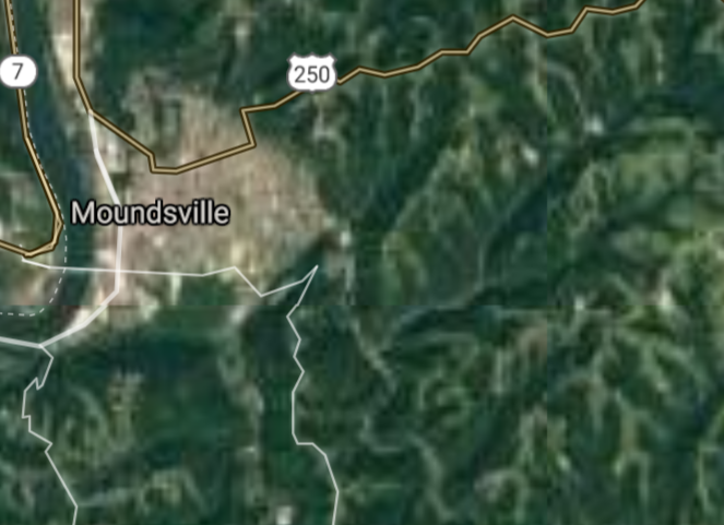
Moundsville [*elevation ceiling = 40km]Elevation: 212m (Group 260)
UR-100N (SLBM) |
Point A: 39.327019 00
Point B: 37.269840 00
Point C: 39.920353 00(300kt)
Point D: 39.286479 00
Point E: 37.972334 00
Point F: 38.360651 00
|
Point A: -81.548458 00
Point B: -81.222320 00
Point C: -80.743141 00(300kt)
Point D: -80.256198 00
Point E: -81.148713 00
Point F: -81.737349 00
|
|
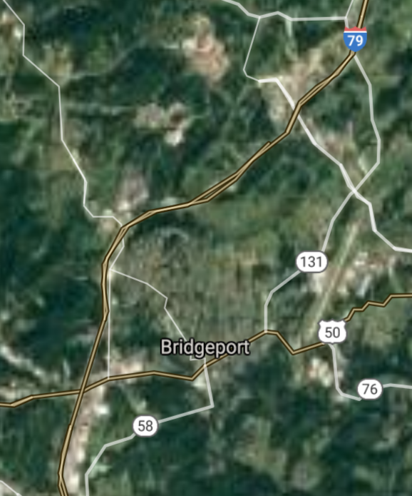
Bridgeport [*elevation ceiling = 40km]Elevation: 311m (Group 260)
UR-100N (SLBM) |
Point A: 39.327019 00
Point B: 37.269840 00
Point C: 39.920353 00
Point D: 39.286479 00(300kt)
Point E: 37.972334 00
Point F: 38.360651 00
|
Point A: -81.548458 00
Point B: -81.222320 00
Point C: -80.743141 00
Point D: -80.256198 00(300kt)
Point E: -81.148713 00
Point F: -81.737349 00
|
|
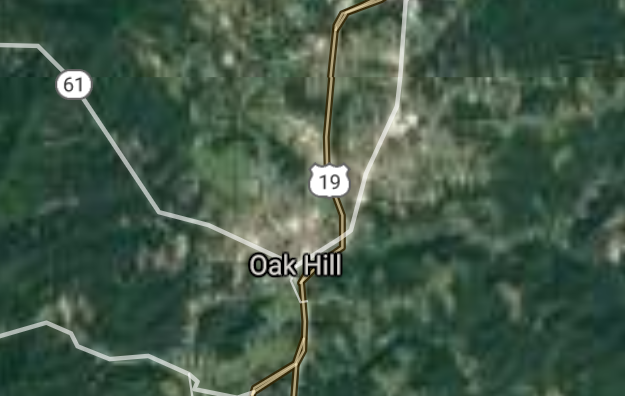
Oak Hill [*elevation ceiling = 40km]Elevation: 614m (Group 260)
UR-100N (SLBM) |
Point A: 39.327019 00
Point B: 37.269840 00
Point C: 39.920353 00
Point D: 39.286479 00
Point E: 37.972334 00(300kt)
Point F: 38.360651 00
|
Point A: -81.548458 00
Point B: -81.222320 00
Point C: -80.743141 00
Point D: -80.256198 00
Point E: -81.148713 00(300kt)
Point F: -81.737349 00
|
|
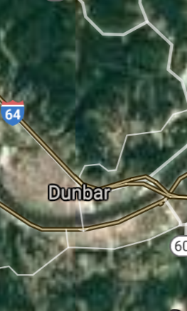
Dunbar [*elevation ceiling = 40km]Elevation: 181m (Group 260)
UR-100N (SLBM) |
Point A: 39.327019 00
Point B: 37.269840 00
Point C: 39.920353 00
Point D: 39.286479 00
Point E: 37.972334 00
Point F: 38.360651 00(300kt)
|
Point A: -81.548458 00
Point B: -81.222320 00
Point C: -80.743141 00
Point D: -80.256198 00
Point E: -81.148713 00
Point F: -81.737349 00(300kt)
|
|
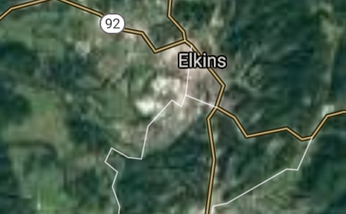
Elkins [*elevation ceiling = 40km]Elevation: 587m (Group 261)
UR-100N (SLBM) |
Point A: 38.925940 00(300kt)
Point B: 38.414815 00
Point C: 38.432590 00
Point D: 37.366229 00
Point E: 39.288990 00
Point F: 38.993987 00
|
Point A: -79.846735 00(300kt)
Point B: -81.844020 00
Point C: -82.020137 00
Point D: -81.102592 00
Point E: -77.859717 00
Point F: -80.232028 00
|
|
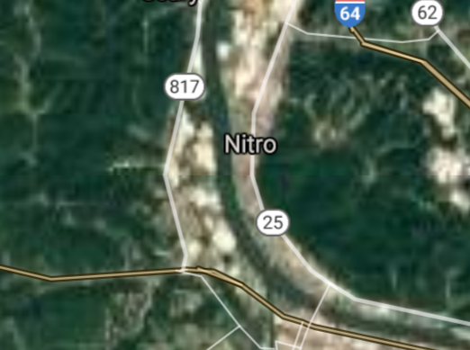
Nitro [*elevation ceiling = 40km]Elevation: 181m (Group 261)
UR-100N (SLBM) |
Point A: 38.925940 00
Point B: 38.414815 00(300kt)
Point C: 38.432590 00
Point D: 37.366229 00
Point E: 39.288990 00
Point F: 38.993987 00
|
Point A: -79.846735 00
Point B: -81.844020 00(300kt)
Point C: -82.020137 00
Point D: -81.102592 00
Point E: -77.859717 00
Point F: -80.232028 00
|
|
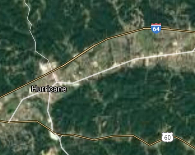
Hurricane [*elevation ceiling = 40km]Elevation: 215m (Group 261)
UR-100N (SLBM) |
Point A: 38.925940 00
Point B: 38.414815 00
Point C: 38.432590 00(300kt)
Point D: 37.366229 00
Point E: 39.288990 00
Point F: 38.993987 00
|
Point A: -79.846735 00
Point B: -81.844020 00
Point C: -82.020137 00(300kt)
Point D: -81.102592 00
Point E: -77.859717 00
Point F: -80.232028 00
|
|
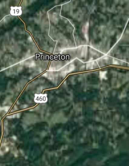
Princeton [*elevation ceiling = 40km]Elevation: 743m (Group 261)
UR-100N (SLBM) |
Point A: 38.925940 00
Point B: 38.414815 00
Point C: 38.432590 00
Point D: 37.366229 00(300kt)
Point E: 39.288990 00
Point F: 38.993987 00
|
Point A: -79.846735 00
Point B: -81.844020 00
Point C: -82.020137 00
Point D: -81.102592 00(300kt)
Point E: -77.859717 00
Point F: -80.232028 00
|
|
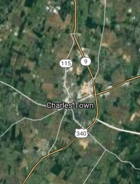
Charles Town [*elevation ceiling = 40km]Elevation: 156m (Group 261)
UR-100N (SLBM) |
Point A: 38.925940 00
Point B: 38.414815 00
Point C: 38.432590 00
Point D: 37.366229 00
Point E: 39.288990 00(300kt)
Point F: 38.993987 00
|
Point A: -79.846735 00
Point B: -81.844020 00
Point C: -82.020137 00
Point D: -81.102592 00
Point E: -77.859717 00(300kt)
Point F: -80.232028 00
|
|
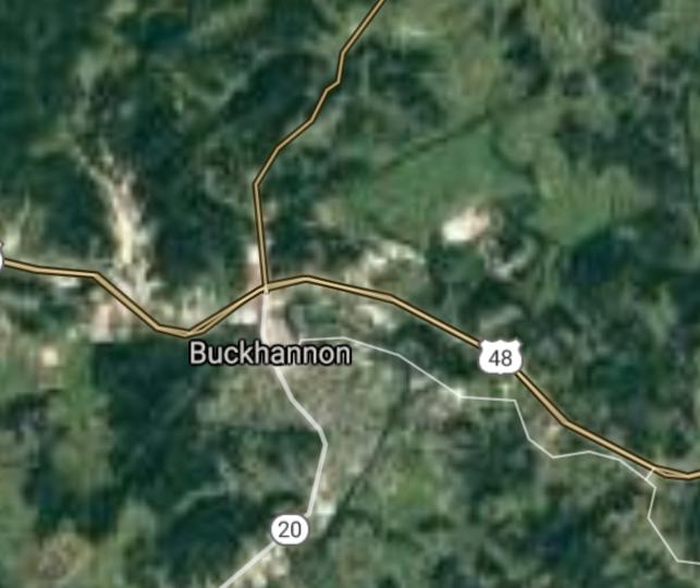
Buckhannon [*elevation ceiling = 40km]Elevation: 436m (Group 261)
UR-100N (SLBM) |
Point A: 38.925940 00
Point B: 38.414815 00
Point C: 38.432590 00
Point D: 37.366229 00
Point E: 39.288990 00
Point F: 38.993987 00(300kt)
|
Point A: -79.846735 00
Point B: -81.844020 00
Point C: -82.020137 00
Point D: -81.102592 00
Point E: -77.859717 00
Point F: -80.232028 00(300kt)
|
|
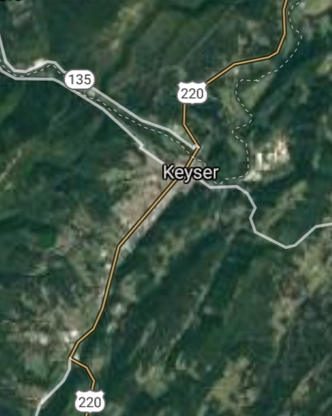
Keyser [*elevation ceiling = 40km]Elevation: 246m (Group 262)
UR-100N (SLBM) |
Point A: 39.440928 00(300kt)
Point B: 39.644521 00
Point C: 39.340925 00
Point D: 39.295101 00
Point E: 38.844525 00
Point F: 39.634526 00
|
Point A: -78.973916 00(300kt)
Point B: -80.857599 00
Point C: -80.018966 00
Point D: -77.860551 00
Point E: -82.137089 00
Point F: -79.969786 00
|
|
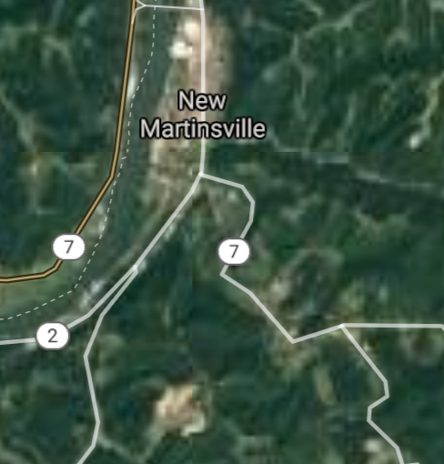
New Martinsville [*elevation ceiling = 40km]Elevation: 190m (Group 262)
UR-100N (SLBM) |
Point A: 39.440928 00
Point B: 39.644521 00(300kt)
Point C: 39.340925 00
Point D: 39.295101 00
Point E: 38.844525 00
Point F: 39.634526 00
|
Point A: -78.973916 00
Point B: -80.857599 00(300kt)
Point C: -80.018966 00
Point D: -77.860551 00
Point E: -82.137089 00
Point F: -79.969786 00
|
|
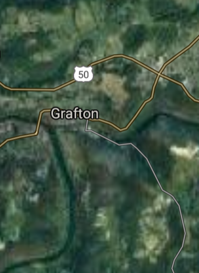
Grafton [*elevation ceiling = 40km]Elevation: 313m (Group 262)
UR-100N (SLBM) |
Point A: 39.440928 00
Point B: 39.644521 00
Point C: 39.340925 00(300kt)
Point D: 39.295101 00
Point E: 38.844525 00
Point F: 39.634526 00
|
Point A: -78.973916 00
Point B: -80.857599 00
Point C: -80.018966 00(300kt)
Point D: -77.860551 00
Point E: -82.137089 00
Point F: -79.969786 00
|
|
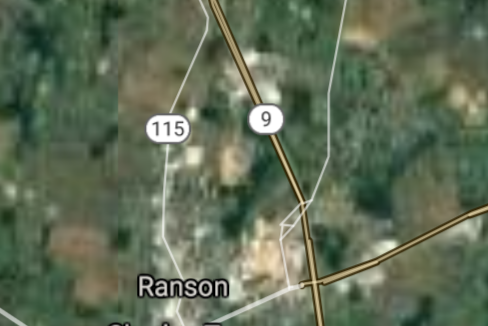
Ranson [*elevation ceiling = 40km]Elevation: 158m (Group 262)
UR-100N (SLBM) |
Point A: 39.440928 00
Point B: 39.644521 00
Point C: 39.340925 00
Point D: 39.295101 00(300kt)
Point E: 38.844525 00
Point F: 39.634526 00
|
Point A: -78.973916 00
Point B: -80.857599 00
Point C: -80.018966 00
Point D: -77.860551 00(300kt)
Point E: -82.137089 00
Point F: -79.969786 00
|
|
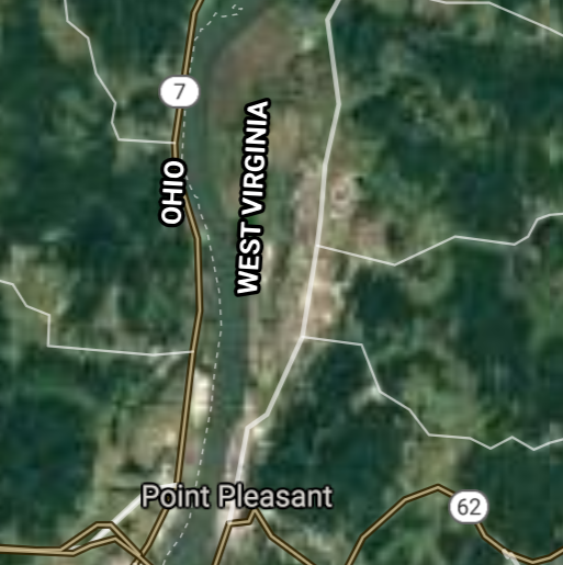
Point Pleasant [*elevation ceiling = 40km]Elevation: 173m (Group 262)
UR-100N (SLBM) |
Point A: 39.440928 00
Point B: 39.644521 00
Point C: 39.340925 00
Point D: 39.295101 00
Point E: 38.844525 00(300kt)
Point F: 39.634526 00
|
Point A: -78.973916 00
Point B: -80.857599 00
Point C: -80.018966 00
Point D: -77.860551 00
Point E: -82.137089 00(300kt)
Point F: -79.969786 00
|
|
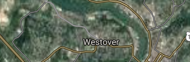
Westover [*elevation ceiling = 40km]Elevation: 287m (Group 262)
UR-100N (SLBM) |
Point A: 39.440928 00
Point B: 39.644521 00
Point C: 39.340925 00
Point D: 39.295101 00
Point E: 38.844525 00
Point F: 39.634526 00(300kt)
|
Point A: -78.973916 00
Point B: -80.857599 00
Point C: -80.018966 00
Point D: -77.860551 00
Point E: -82.137089 00
Point F: -79.969786 00(300kt)
|
|
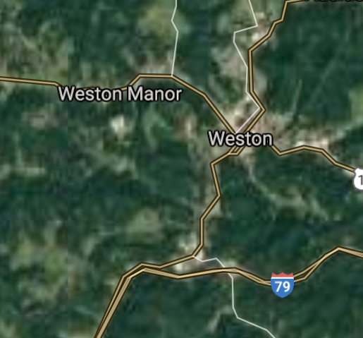
Weston [*elevation ceiling = 40km]Elevation: 311m (Group 263)
UR-100N (SLBM) |
Point A: 39.038427 00(300kt)
Point B: 37.801788 00
Point C: 38.948137 00
Point D: 38.281220 00
Point E: 38.818696 00
Point F: 39.152320 00
|
Point A: -80.467313 00(300kt)
Point B: -80.445630 00
Point C: -81.760965 00
Point D: -80.852598 00
Point E: -81.710685 00
Point F: -80.040358 00
|
|
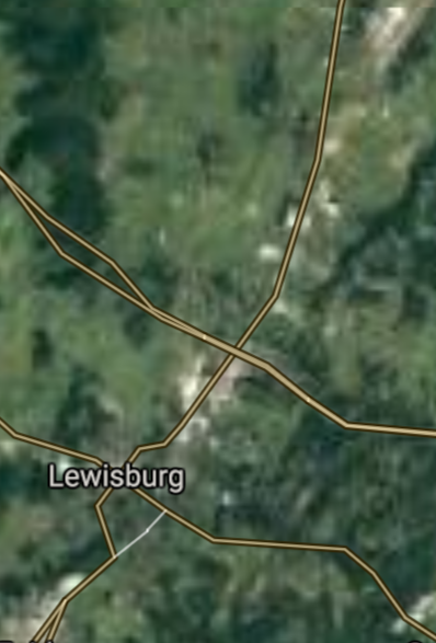
Lewisburg [*elevation ceiling = 40km]Elevation: 634m (Group 263)
UR-100N (SLBM) |
Point A: 39.038427 00
Point B: 37.801788 00(300kt)
Point C: 38.948137 00
Point D: 38.281220 00
Point E: 38.818696 00
Point F: 39.152320 00
|
Point A: -80.467313 00
Point B: -80.445630 00(300kt)
Point C: -81.760965 00
Point D: -80.852598 00
Point E: -81.710685 00
Point F: -80.040358 00
|
|
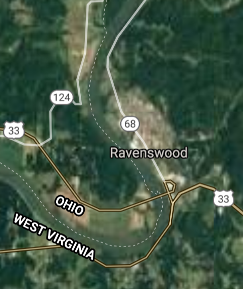
Ravenswood [*elevation ceiling = 40km]Elevation: 185m (Group 263)
UR-100N (SLBM) |
Point A: 39.038427 00
Point B: 37.801788 00
Point C: 38.948137 00(300kt)
Point D: 38.281220 00
Point E: 38.818696 00
Point F: 39.152320 00
|
Point A: -80.467313 00
Point B: -80.445630 00
Point C: -81.760965 00(300kt)
Point D: -80.852598 00
Point E: -81.710685 00
Point F: -80.040358 00
|
|
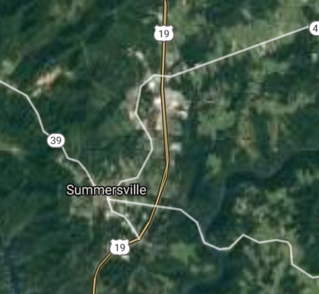
Summersville [*elevation ceiling = 40km]Elevation: 573m (Group 263)
UR-100N (SLBM) |
Point A: 39.038427 00
Point B: 37.801788 00
Point C: 38.948137 00
Point D: 38.281220 00(300kt)
Point E: 38.818696 00
Point F: 39.152320 00
|
Point A: -80.467313 00
Point B: -80.445630 00
Point C: -81.760965 00
Point D: -80.852598 00(300kt)
Point E: -81.710685 00
Point F: -80.040358 00
|
|
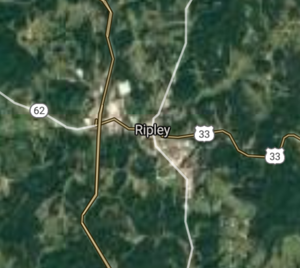
Ripley [*elevation ceiling = 40km]Elevation: 188m (Group 263)
UR-100N (SLBM) |
Point A: 39.038427 00
Point B: 37.801788 00
Point C: 38.948137 00
Point D: 38.281220 00
Point E: 38.818696 00(300kt)
Point F: 39.152320 00
|
Point A: -80.467313 00
Point B: -80.445630 00
Point C: -81.760965 00
Point D: -80.852598 00
Point E: -81.710685 00(300kt)
Point F: -80.040358 00
|
|
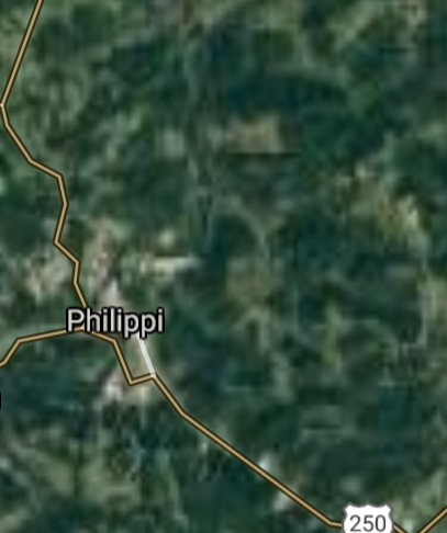
Philippi [*elevation ceiling = 40km]Elevation: 397m (Group 263)
UR-100N (SLBM) |
Point A: 39.038427 00
Point B: 37.801788 00
Point C: 38.948137 00
Point D: 38.281220 00
Point E: 38.818696 00
Point F: 39.152320 00(300kt)
|
Point A: -80.467313 00
Point B: -80.445630 00
Point C: -81.760965 00
Point D: -80.852598 00
Point E: -81.710685 00
Point F: -80.040358 00(300kt)
|
|
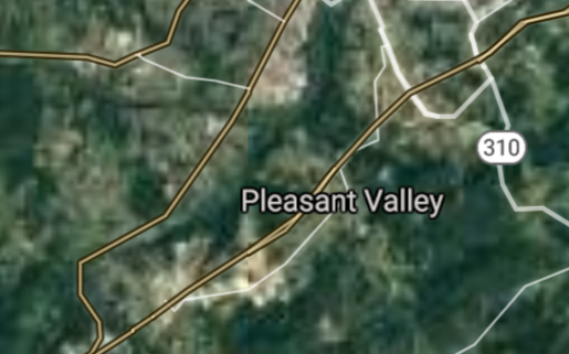
Pleasant Valley [*elevation ceiling = 40km]Elevation: 314m (Group 264)
UR-100N (SLBM) |
Point A: 39.455364 00(300kt)
Point B: 38.398971 00
Point C: 37.674268 00
Point D: 38.067045 00
Point E: 39.471756 00
Point F: 39.400630 00
|
Point A: -80.141745 00(300kt)
Point B: -82.578214 00
Point C: -82.277363 00
Point D: -81.819289 00
Point E: -79.683388 00
Point F: -81.448177 00
|
|
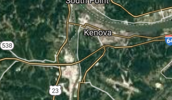
Kenova [*elevation ceiling = 40km]Elevation: 170m (Group 264)
UR-100N (SLBM) |
Point A: 39.455364 00
Point B: 38.398971 00(300kt)
Point C: 37.674268 00
Point D: 38.067045 00
Point E: 39.471756 00
Point F: 39.400630 00
|
Point A: -80.141745 00
Point B: -82.578214 00(300kt)
Point C: -82.277363 00
Point D: -81.819289 00
Point E: -79.683388 00
Point F: -81.448177 00
|
|
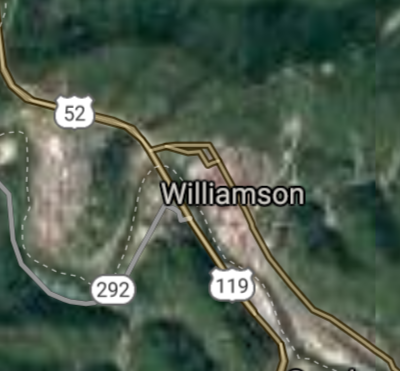
Williamson [*elevation ceiling = 40km]Elevation: 199m (Group 264)
UR-100N (SLBM) |
Point A: 39.455364 00
Point B: 38.398971 00
Point C: 37.674268 00(300kt)
Point D: 38.067045 00
Point E: 39.471756 00
Point F: 39.400630 00
|
Point A: -80.141745 00
Point B: -82.578214 00
Point C: -82.277363 00(300kt)
Point D: -81.819289 00
Point E: -79.683388 00
Point F: -81.448177 00
|
|
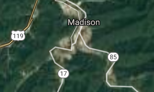
Madison [*elevation ceiling = 40km]Elevation: 214m (Group 264)
UR-100N (SLBM) |
Point A: 39.455364 00
Point B: 38.398971 00
Point C: 37.674268 00
Point D: 38.067045 00(300kt)
Point E: 39.471756 00
Point F: 39.400630 00
|
Point A: -80.141745 00
Point B: -82.578214 00
Point C: -82.277363 00
Point D: -81.819289 00(300kt)
Point E: -79.683388 00
Point F: -81.448177 00
|
|
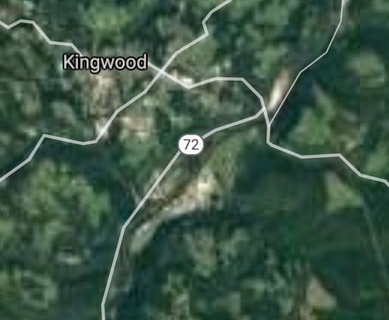
Kingwood [*elevation ceiling = 40km]Elevation: 553m (Group 264)
UR-100N (SLBM) |
Point A: 39.455364 00
Point B: 38.398971 00
Point C: 37.674268 00
Point D: 38.067045 00
Point E: 39.471756 00(300kt)
Point F: 39.400630 00
|
Point A: -80.141745 00
Point B: -82.578214 00
Point C: -82.277363 00
Point D: -81.819289 00
Point E: -79.683388 00(300kt)
Point F: -81.448177 00
|
|
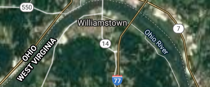
Williamstown [*elevation ceiling = 40km]Elevation: 193m (Group 264)
UR-100N (SLBM) |
Point A: 39.455364 00
Point B: 38.398971 00
Point C: 37.674268 00
Point D: 38.067045 00
Point E: 39.471756 00
Point F: 39.400630 00(300kt)
|
Point A: -80.141745 00
Point B: -82.578214 00
Point C: -82.277363 00
Point D: -81.819289 00
Point E: -79.683388 00
Point F: -81.448177 00(300kt)
|
|
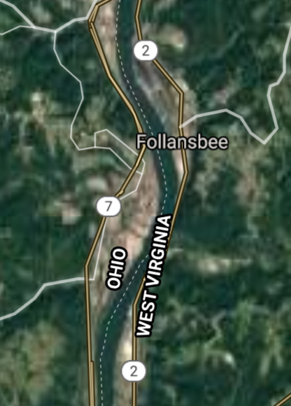
Follansbee [*elevation ceiling = 40km]Elevation: 204m (Group 265)
UR-100N (SLBM) |
Point A: 40.327569 00(300kt)
Point B: 40.272015 00
Point C: 37.674008 00
Point D: 39.602854 00
Point E: 39.645915 00
Point F: 40.613120 00
|
Point A: -80.595907 00(300kt)
Point B: -80.609519 00
Point C: -80.889254 00
Point D: -80.936770 00
Point E: -79.987287 00
Point F: -80.562848 00
|
|
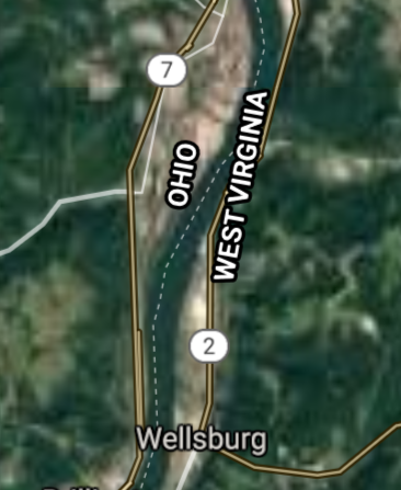
Wellsburg [*elevation ceiling = 40km]Elevation: 206m (Group 265)
UR-100N (SLBM) |
Point A: 40.327569 00
Point B: 40.272015 00(300kt)
Point C: 37.674008 00
Point D: 39.602854 00
Point E: 39.645915 00
Point F: 40.613120 00
|
Point A: -80.595907 00
Point B: -80.609519 00(300kt)
Point C: -80.889254 00
Point D: -80.936770 00
Point E: -79.987287 00
Point F: -80.562848 00
|
|
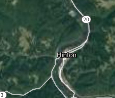
Hinton [*elevation ceiling = 40km]Elevation: 446m (Group 265)
UR-100N (SLBM) |
Point A: 40.327569 00
Point B: 40.272015 00
Point C: 37.674008 00(300kt)
Point D: 39.602854 00
Point E: 39.645915 00
Point F: 40.613120 00
|
Point A: -80.595907 00
Point B: -80.609519 00
Point C: -80.889254 00(300kt)
Point D: -80.936770 00
Point E: -79.987287 00
Point F: -80.562848 00
|
|
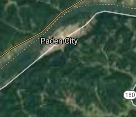
Paden City [*elevation ceiling = 40km]Elevation: 201m (Group 265)
UR-100N (SLBM) |
Point A: 40.327569 00
Point B: 40.272015 00
Point C: 37.674008 00
Point D: 39.602854 00(300kt)
Point E: 39.645915 00
Point F: 40.613120 00
|
Point A: -80.595907 00
Point B: -80.609519 00
Point C: -80.889254 00
Point D: -80.936770 00(300kt)
Point E: -79.987287 00
Point F: -80.562848 00
|
|
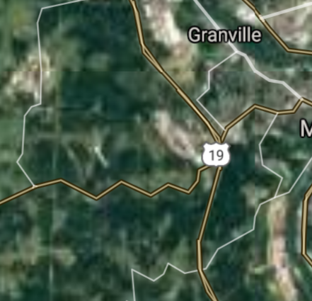
Granville [*elevation ceiling = 40km]Elevation: 248m (Group 265)
UR-100N (SLBM) |
Point A: 40.327569 00
Point B: 40.272015 00
Point C: 37.674008 00
Point D: 39.602854 00
Point E: 39.645915 00(300kt)
Point F: 40.613120 00
|
Point A: -80.595907 00
Point B: -80.609519 00
Point C: -80.889254 00
Point D: -80.936770 00
Point E: -79.987287 00(300kt)
Point F: -80.562848 00
|
|
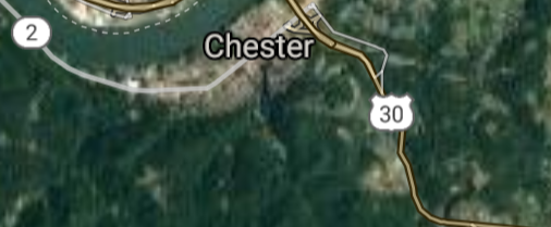
Chester [*elevation ceiling = 40km]Elevation: 214m (Group 265)
UR-100N (SLBM) |
Point A: 40.327569 00
Point B: 40.272015 00
Point C: 37.674008 00
Point D: 39.602854 00
Point E: 39.645915 00
Point F: 40.613120 00(300kt)
|
Point A: -80.595907 00
Point B: -80.609519 00
Point C: -80.889254 00
Point D: -80.936770 00
Point E: -79.987287 00
Point F: -80.562848 00(300kt)
|

[Top]
Open START Drills: Central Basin
![]()
![]()
![]()
![]()
![]()
![]()
![]()
![]()
![]()
JanuaryFebruaryMarchAprilJuneJulySeptemberOctoberDecember |
2024
|
|

JanuaryFebruaryJuneJulyAugustOctoberNovemberDecember |
2024
|
|

JanuaryFebruaryJuneJulySeptemberOctoberNovemberDecember |
2024
|
|
