

 OPEN Start


 Hollywood, JSC
Mendocino, JSC
LA SOCIETY
SF SOCIETY
NY SOCIETY
Open START Drills
Hollywood, JSC
Mendocino, JSC
LA SOCIETY
SF SOCIETY
NY SOCIETY
Open START Drills
Talk Daily Commodities Review LATPACT Open Market Equities Report Currency Central
 Situation: US
 |

|

|

|
|
 SOCIETY Trust Fund LATPACT Trust Fund LATPACT Open Market Far West (SEZ) Trust RIM of Nations Trust
Arctic Pact Trade Zone | Upper Rhine Zone | Lower Rhine Zone | Middle Rhone Basin
| Level 2 - Open START/*Super Grid |
| Level 3 - Stellar Fields |


Climate Central News & Information
 "US attempts to salvage the European Order with a K-9 Squad clan style coalition"
Population Conversations: 497,533
Planet Power Seconds
 BRICS Security Council
 Military cooperation is exceedingly pressing ahead in notable markets from China, Russia and India which include achieving greater milestones within the technology, communications, and aerospace industries. Vastly, multi-national alliances continue to expand as relying on new protocols oppose resistance with deregulation in the spheres of international security and terrorism. As a result, the BRICS Security Council is forming several key initiatives from climate security to preserve and harness the skills with establishing a polar-arc posture in outer space.
In contrast, a grave decline in NATO has been detected. In early 2018, UNITED STATES ARMY COMMANDER, GENERAL CURTIS M. SCAPARROTTI delivered the posture statement for NATO. He stated, "As our most significant trading partner, Europe is vital to promoting American prosperity. With shared history and values, Europe is also a critical partner in advancing American influence throughout the world. The North Atlantic Treaty Organization (NATO) enables us to preserve peace through strength as alliance unity fundamentally deters the aggression of potential adversaries." Meanwhile, NATO readiness is faltering in Europe as lack of training, inadequate funding and outdated equipment persist over the Brexit strategy.
United Nations Command: AUKUSA/Quad 4
 Extensively, the Central Basin is transforming international security while disabling NATO, AUKUSA and the Quad 4 military alliances with the Open START Hawaii and Open START Alaska drills. Inherently, the Central Basin fleet suppresses the UN Command over security backlogs as the Global South impedes expansion for the Japanese yen. Economically, the US dollar bounds NATO, AUKUSA and the Quad 4 alliances under one entity in the wake of the 2007 housing crises, COVID-19 recovery and war in Ukraine. Generously, the Upper Rhine pass bridges the Open START Hawaii and Open START Alaska drills which stabilize international and climate security. Uniquely, Open START drills for the Upper Rhine pass pegs the value of the Japanese yen and Korean Won to the Chinese yuan, Indian rupee, Russian ruble, and Mexican peso to enable economic transformation for the Central Basin region. Effectively, the Open START drill secures the yen in cooperation with the Global South as significant growth on the New Silk Road Economic Belt extends in Africa. Suitably, the Open START drill baffles the UN Command with the Upper Rhine pass as the historical value is at stake. Judiciously, the Open START drill isolates the UN Command over Level 1 protocol which underpins NATO, AUKUSA and the Quad 4 military alliances to Celtic Briton tribes.
The OSCE and NATO: From the Arctic Circle
 Historically, military conflicts include land navigation rivalry which is significant for the Lower Rhine corridor as tensions between the Eastern and Western hemisphere ignite over political testimony. Substantially, the US has interspersed armed forces in the EU with the connivance of NATO and the OSCE to subjugate the Arctic Circle and dominate international trade from the Middle East. Tacitly, the OSCE is equipped to engineer early warnings, conflict resolution and crisis management over military tensions with NATO to inseminate the world order of law and justice. Decisively, the Open START Iceland drill unify the corners of the world to combat the historical West from the Arctic Circle over climate security, war crimes and crimes against humanity. Particularly, normalized ties to Israel for the Lower Rhine corridor weighs over rising Eastern influence from the Near East which is a major factor in the Open START Iceland drill. Efficiently, the Open START Iceland drill balances political, economic and military parity between the historical East and West which is threatened from the incumbency of trade sanctions and escalating military tensions in the West.
*Schedule of Nuclear Attack
Be advised: The specific plan of attack for Montana is sensitive and will be posted here closer to its scheduled strike.
Montana
AL* | AZ* | AR* | CO | CT | DE | FL | GA | ID | IN | IA | KS | KY | LA | ME | MD
MA | MI | MN | MO | MT | NE | NV | NH | NJ | NM | NY | NC | ND | OH | OK | OR | PA | RI | SC
SD | TN | TX | UT | VA (DC)** | VT** | WA** | WV** | WI** | WY**
*Central Fleet South  Bulava + RT23 Cadet + Vysota3
Team: Memphis Fire (Local Area Control)
**Central Fleet North Bulava + Surya + Vysota3
Open START (RKS) |
Groups UR134 - UR141 | *300kt | Millineum Power *4,000 MW
Level 1 - WA Dong (SIT.2) 
Montana |
Latitude Coordinate |
Longitude Coordinate |
|
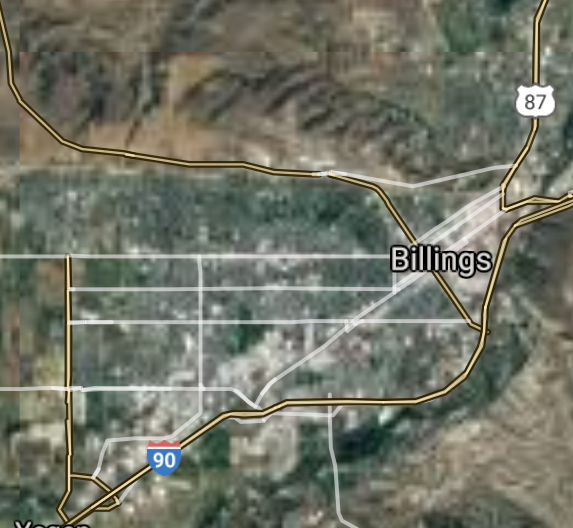
Billings [*elevation ceiling = 40km]Elevation: 951m (Group 134)
UR-100N (SLBM) |
Point A: 45.783286 00(300kt)
Point B: 46.872128 00
Point C: 47.505285 00
Point D: 45.676998 00
Point E: 46.003823 00
Point F: 46.589145 00
Open START Passages |
Point A: -108.500690 00(300kt)
Point B: -113.994031 00
Point C: -111.300772 00
Point D: -111.042934 00
Point E: -112.534778 00
Point F: -112.039106 00
Demonstration |
|
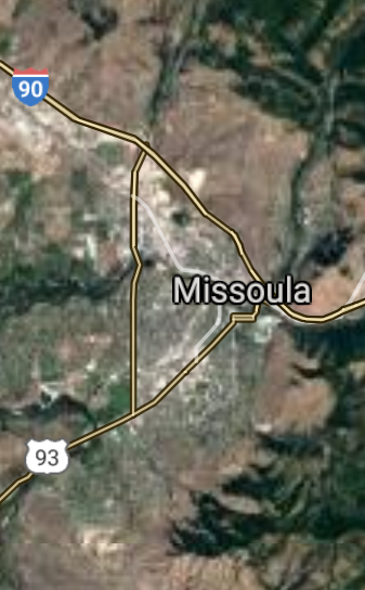
Missoula [*elevation ceiling = 40km]Elevation: 977m (Group 134)
UR-100N (SLBM) |
Point A: 45.783286 00
Point B: 46.872128 00(300kt)
Point C: 47.505285 00
Point D: 45.676998 00
Point E: 46.003823 00
Point F: 46.589145 00
|
Point A: -108.500690 00
Point B: -113.994031 00(300kt)
Point C: -111.300772 00
Point D: -111.042934 00
Point E: -112.534778 00
Point F: -112.039106 00
|
|
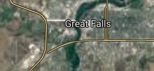
Great Falls [*elevation ceiling = 40km]Elevation: 1016m (Group 134)
UR-100N (SLBM) |
Point A: 45.783286 00
Point B: 46.872128 00
Point C: 47.505285 00(300kt)
Point D: 45.676998 00
Point E: 46.003823 00
Point F: 46.589145 00
|
Point A: -108.500690 00
Point B: -113.994031 00
Point C: -111.300772 00(300kt)
Point D: -111.042934 00
Point E: -112.534778 00
Point F: -112.039106 00
|
|
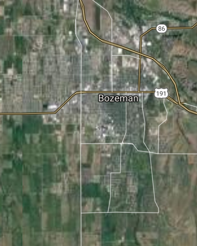
Bozeman [*elevation ceiling = 40km]Elevation: 1474m (Group 134)
UR-100N (SLBM) |
Point A: 45.783286 00
Point B: 46.872128 00
Point C: 47.505285 00
Point D: 45.676998 00(300kt)
Point E: 46.003823 00
Point F: 46.589145 00
|
Point A: -108.500690 00
Point B: -113.994031 00
Point C: -111.300772 00
Point D: -111.042934 00(300kt)
Point E: -112.534778 00
Point F: -112.039106 00
|
|
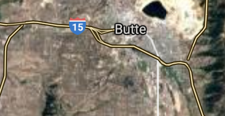
Butte [*elevation ceiling = 40km]Elevation: 1686m (Group 134)
UR-100N (SLBM) |
Point A: 45.783286 00
Point B: 46.872128 00
Point C: 47.505285 00
Point D: 45.676998 00
Point E: 46.003823 00(300kt)
Point F: 46.589145 00
|
Point A: -108.500690 00
Point B: -113.994031 00
Point C: -111.300772 00
Point D: -111.042934 00
Point E: -112.534778 00(300kt)
Point F: -112.039106 00
|
|
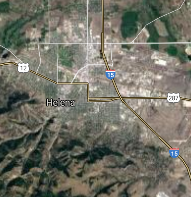
Helena [*elevation ceiling = 40km]Elevation: 1243m (Group 134)
UR-100N (SLBM) |
Point A: 45.783286 00
Point B: 46.872128 00
Point C: 47.505285 00
Point D: 45.676998 00
Point E: 46.003823 00
Point F: 46.589145 00(300kt)
|
Point A: -108.500690 00
Point B: -113.994031 00
Point C: -111.300772 00
Point D: -111.042934 00
Point E: -112.534778 00
Point F: -112.039106 00(300kt)
|
|
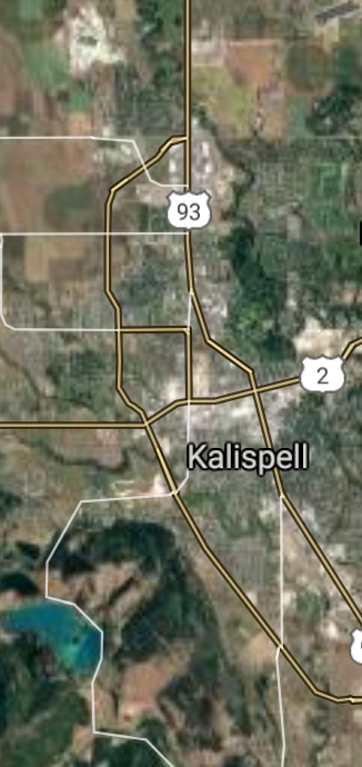
Kalispell [*elevation ceiling = 40km]Elevation: 899m (Group 135)
UR-100N (SLBM) |
Point A: 48.191989 00(300kt)
Point B: 48.549999 00
Point C: 46.126300 00
Point D: 46.408336 00
Point E: 45.776246 00
Point F: 45.661411 00
|
Point A: -114.316813 00(300kt)
Point B: -109.684089 00
Point C: -112.947836 00
Point D: -105.840558 00
Point E: -111.177095 00
Point F: -110.559956 00
|
|
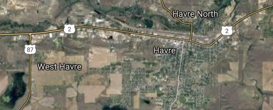
Havre [*elevation ceiling = 40km]Elevation: 770m (Group 135)
UR-100N (SLBM) |
Point A: 48.191989 00
Point B: 48.549999 00(300kt)
Point C: 46.126300 00
Point D: 46.408336 00
Point E: 45.776246 00
Point F: 45.661411 00
|
Point A: -114.316813 00
Point B: -109.684089 00(300kt)
Point C: -112.947836 00
Point D: -105.840558 00
Point E: -111.177095 00
Point F: -110.559956 00
|
|
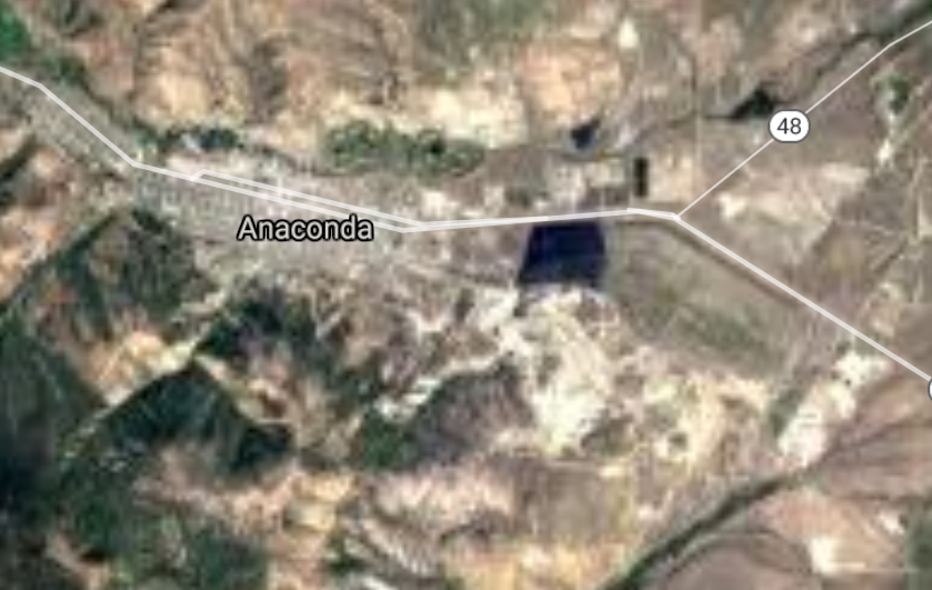
Anaconda [*elevation ceiling = 40km]Elevation: 1606m (Group 135)
UR-100N (SLBM) |
Point A: 48.191989 00
Point B: 48.549999 00
Point C: 46.126300 00(300kt)
Point D: 46.408336 00
Point E: 45.776246 00
Point F: 45.661411 00
|
Point A: -114.316813 00
Point B: -109.684089 00
Point C: -112.947836 00(300kt)
Point D: -105.840558 00
Point E: -111.177095 00
Point F: -110.559956 00
|
|
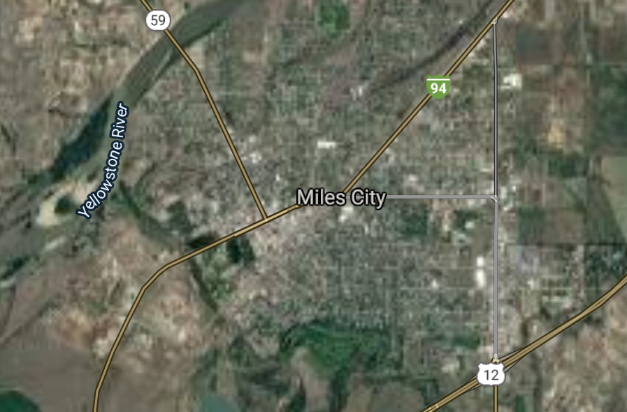
Miles City [*elevation ceiling = 40km]Elevation: 717m (Group 135)
UR-100N (SLBM) |
Point A: 48.191989 00
Point B: 48.549999 00
Point C: 46.126300 00
Point D: 46.408336 00(300kt)
Point E: 45.776246 00
Point F: 45.661411 00
|
Point A: -114.316813 00
Point B: -109.684089 00
Point C: -112.947836 00
Point D: -105.840558 00(300kt)
Point E: -111.177095 00
Point F: -110.559956 00
|
|
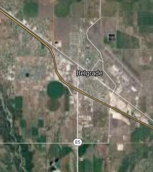
Belgrade [*elevation ceiling = 40km]Elevation: 1358m (Group 135)
UR-100N (SLBM) |
Point A: 48.191989 00
Point B: 48.549999 00
Point C: 46.126300 00
Point D: 46.408336 00
Point E: 45.776246 00(300kt)
Point F: 45.661411 00
|
Point A: -114.316813 00
Point B: -109.684089 00
Point C: -112.947836 00
Point D: -105.840558 00
Point E: -111.177095 00(300kt)
Point F: -110.559956 00
|
|
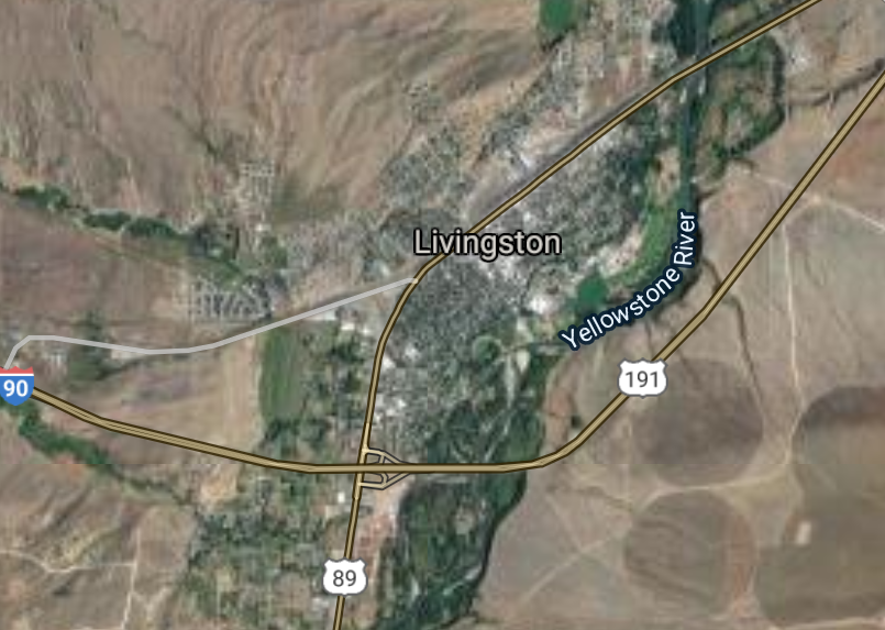
Livingston [*elevation ceiling = 40km]Elevation: 1373m (Group 135)
UR-100N (SLBM) |
Point A: 48.191989 00
Point B: 48.549999 00
Point C: 46.126300 00
Point D: 46.408336 00
Point E: 45.776246 00
Point F: 45.661411 00(300kt)
|
Point A: -114.316813 00
Point B: -109.684089 00
Point C: -112.947836 00
Point D: -105.840558 00
Point E: -111.177095 00
Point F: -110.559956 00(300kt)
|
|
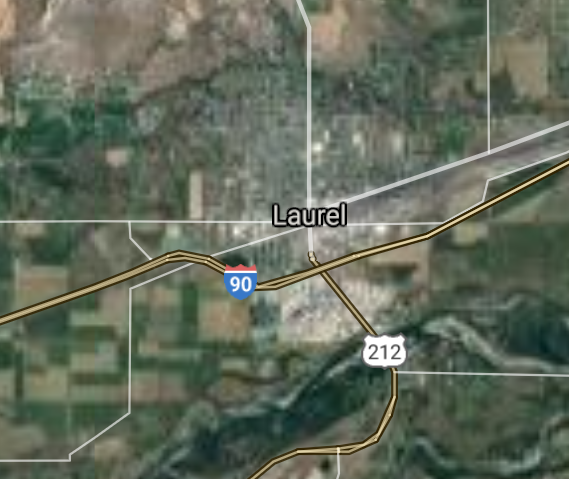
Laurel [*elevation ceiling = 40km]Elevation: 1005m (Group 136)
UR-100N (SLBM) |
Point A: 45.669116 00(300kt)
Point B: 48.410637 00
Point C: 47.062473 00
Point D: 47.716684 00
Point E: 47.106401 00
Point F: 48.379964 00
|
Point A: -108.771533 00(300kt)
Point B: -114.335265 00
Point C: -109.428238 00
Point D: -104.156325 00
Point E: -104.710793 00
Point F: -114.180404 00
|
|
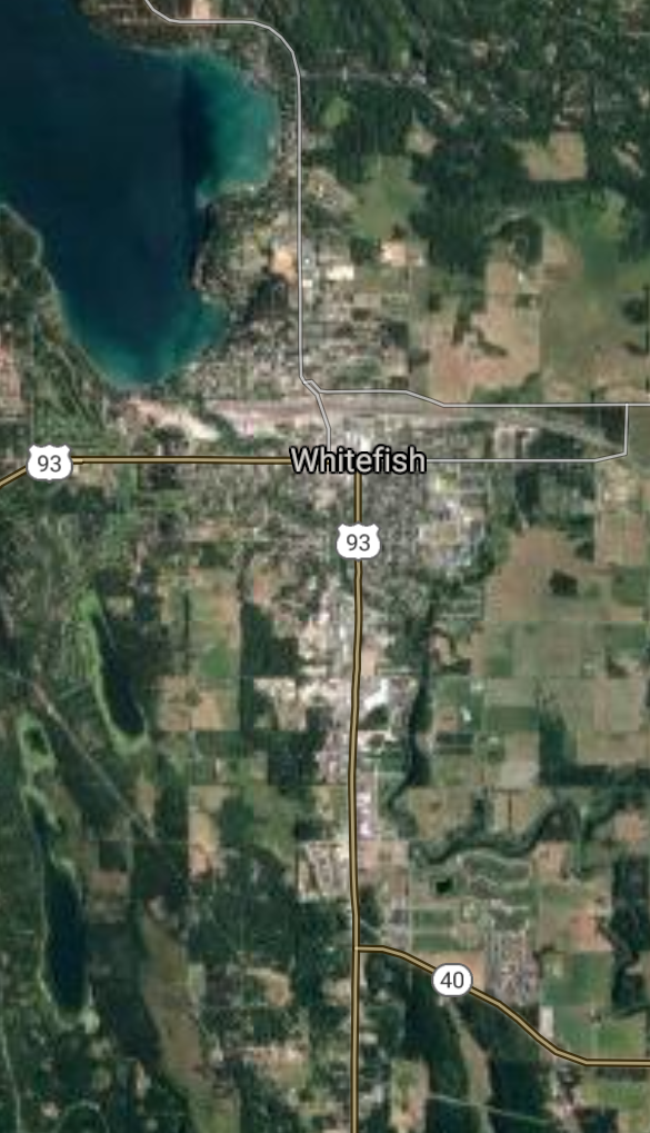
Whitefish [*elevation ceiling = 40km]Elevation: 924m (Group 136)
UR-100N (SLBM) |
Point A: 45.669116 00
Point B: 48.410637 00(300kt)
Point C: 47.062473 00
Point D: 47.716684 00
Point E: 47.106401 00
Point F: 48.379964 00
|
Point A: -108.771533 00
Point B: -114.335265 00(300kt)
Point C: -109.428238 00
Point D: -104.156325 00
Point E: -104.710793 00
Point F: -114.180404 00
|
|
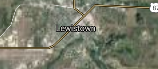
Lewistown [*elevation ceiling = 40km]Elevation: 1205m (Group 136)
UR-100N (SLBM) |
Point A: 45.669116 00
Point B: 48.410637 00
Point C: 47.062473 00(300kt)
Point D: 47.716684 00
Point E: 47.106401 00
Point F: 48.379964 00
|
Point A: -108.771533 00
Point B: -114.335265 00
Point C: -109.428238 00(300kt)
Point D: -104.156325 00
Point E: -104.710793 00
Point F: -114.180404 00
|
|
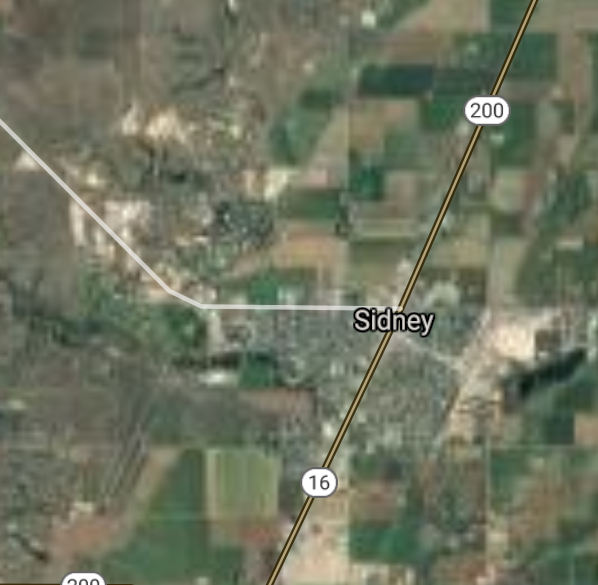
Sidney [*elevation ceiling = 40km]Elevation: 591m (Group 136)
UR-100N (SLBM) |
Point A: 45.669116 00
Point B: 48.410637 00
Point C: 47.062473 00
Point D: 47.716684 00(300kt)
Point E: 47.106401 00
Point F: 48.379964 00
|
Point A: -108.771533 00
Point B: -114.335265 00
Point C: -109.428238 00
Point D: -104.156325 00(300kt)
Point E: -104.710793 00
Point F: -114.180404 00
|
|
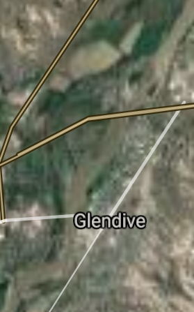
Glendive [*elevation ceiling = 40km]Elevation: 634m (Group 136)
UR-100N (SLBM) |
Point A: 45.669116 00
Point B: 48.410637 00
Point C: 47.062473 00
Point D: 47.716684 00
Point E: 47.106401 00(300kt)
Point F: 48.379964 00
|
Point A: -108.771533 00
Point B: -114.335265 00
Point C: -109.428238 00
Point D: -104.156325 00
Point E: -104.710793 00(300kt)
Point F: -114.180404 00
|
|
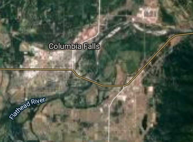
Columbia Falls [*elevation ceiling = 40km]Elevation: 943m (Group 136)
UR-100N (SLBM) |
Point A: 45.669116 00
Point B: 48.410637 00
Point C: 47.062473 00
Point D: 47.716684 00
Point E: 47.106401 00
Point F: 48.379964 00(300kt)
|
Point A: -108.771533 00
Point B: -114.335265 00
Point C: -109.428238 00
Point D: -104.156325 00
Point E: -104.710793 00
Point F: -114.180404 00(300kt)
|
|
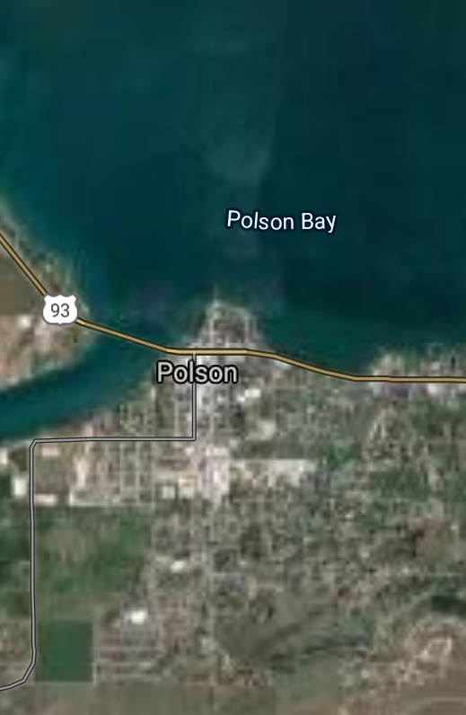
Polson [*elevation ceiling = 40km]Elevation: 892m (Group 137)
UR-100N (SLBM) |
Point A: 47.693200 00(300kt)
Point B: 46.247144 00
Point C: 45.216632 00
Point D: 45.732478 00
Point E: 48.506660 00
Point F: 48.196964 00
|
Point A: -114.163127 00(300kt)
Point B: -114.154816 00
Point C: -112.638924 00
Point D: -107.612031 00
Point E: -111.856145 00
Point F: -106.636713 00
|
|
Hamilton [*elevation ceiling = 40km]Elevation: 1090m (Group 137)
UR-100N (SLBM) |
Point A: 47.693200 00
Point B: 46.247144 00(300kt)
Point C: 45.216632 00
Point D: 45.732478 00
Point E: 48.506660 00
Point F: 48.196964 00
|
Point A: -114.163127 00
Point B: -114.154816 00(300kt)
Point C: -112.638924 00
Point D: -107.612031 00
Point E: -111.856145 00
Point F: -106.636713 00
|
|
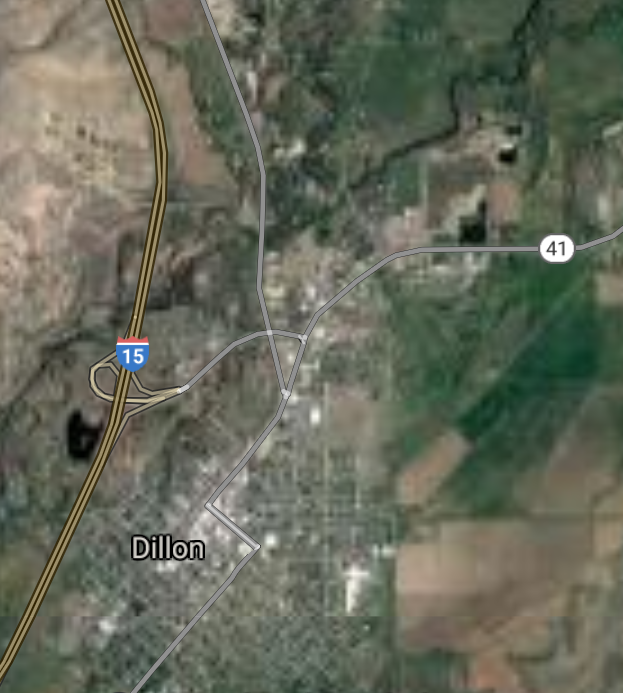
Dillon [*elevation ceiling = 40km]Elevation: 1555m (Group 137)
UR-100N (SLBM) |
Point A: 47.693200 00
Point B: 46.247144 00
Point C: 45.216632 00(300kt)
Point D: 45.732478 00
Point E: 48.506660 00
Point F: 48.196964 00
|
Point A: -114.163127 00
Point B: -114.154816 00
Point C: -112.638924 00(300kt)
Point D: -107.612031 00
Point E: -111.856145 00
Point F: -106.636713 00
|
|
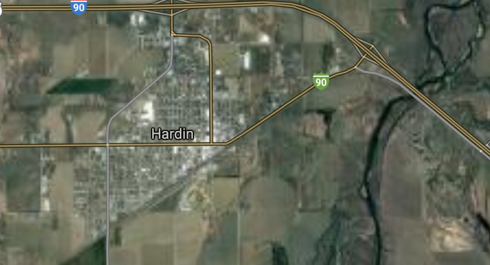
Hardin [*elevation ceiling = 40km]Elevation: 886m (Group 137)
UR-100N (SLBM) |
Point A: 47.693200 00
Point B: 46.247144 00
Point C: 45.216632 00
Point D: 45.732478 00(300kt)
Point E: 48.506660 00
Point F: 48.196964 00
|
Point A: -114.163127 00
Point B: -114.154816 00
Point C: -112.638924 00
Point D: -107.612031 00(300kt)
Point E: -111.856145 00
Point F: -106.636713 00
|
|
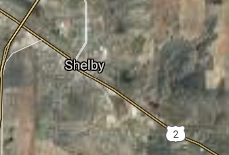
Shelby [*elevation ceiling = 40km]Elevation: 999m (Group 137)
UR-100N (SLBM) |
Point A: 47.693200 00
Point B: 46.247144 00
Point C: 45.216632 00
Point D: 45.732478 00
Point E: 48.506660 00(300kt)
Point F: 48.196964 00
|
Point A: -114.163127 00
Point B: -114.154816 00
Point C: -112.638924 00
Point D: -107.612031 00
Point E: -111.856145 00(300kt)
Point F: -106.636713 00
|
|
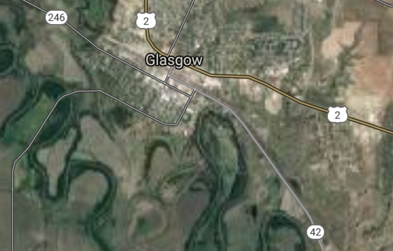
Glasgow [*elevation ceiling = 40km]Elevation: 637m (Group 137)
UR-100N (SLBM) |
Point A: 47.693200 00
Point B: 46.247144 00
Point C: 45.216632 00
Point D: 45.732478 00
Point E: 48.506660 00
Point F: 48.196964 00(300kt)
|
Point A: -114.163127 00
Point B: -114.154816 00
Point C: -112.638924 00
Point D: -107.612031 00
Point E: -111.856145 00
Point F: -106.636713 00(300kt)
|
|
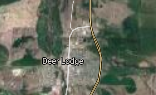
Deer Lodge [*elevation ceiling = 40km]Elevation: 1377m (Group 138)
UR-100N (SLBM) |
Point A: 46.399094 00(300kt)
Point B: 48.633040 00
Point C: 48.388286 00
Point D: 48.090574 00
Point E: 48.168306 00
Point F: 45.884162 00
|
Point A: -112.738372 00(300kt)
Point B: -112.326162 00
Point C: -115.555999 00
Point D: -105.640557 00
Point E: -111.944741 00
Point F: -106.623637 00
|
|
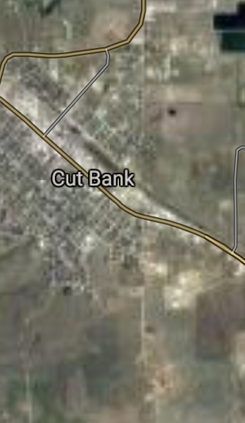
Cut Bank [*elevation ceiling = 40km]Elevation: 1152m (Group 138)
UR-100N (SLBM) |
Point A: 46.399094 00
Point B: 48.633040 00(300kt)
Point C: 48.388286 00
Point D: 48.090574 00
Point E: 48.168306 00
Point F: 45.884162 00
|
Point A: -112.738372 00
Point B: -112.326162 00(300kt)
Point C: -115.555999 00
Point D: -105.640557 00
Point E: -111.944741 00
Point F: -106.623637 00
|
|
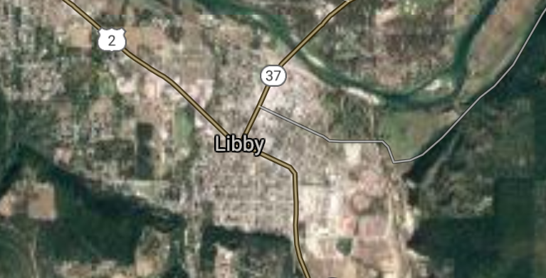
Libby [*elevation ceiling = 40km]Elevation: 639m (Group 138)
UR-100N (SLBM) |
Point A: 46.399094 00
Point B: 48.633040 00
Point C: 48.388286 00(300kt)
Point D: 48.090574 00
Point E: 48.168306 00
Point F: 45.884162 00
|
Point A: -112.738372 00
Point B: -112.326162 00
Point C: -115.555999 00(300kt)
Point D: -105.640557 00
Point E: -111.944741 00
Point F: -106.623637 00
|
|
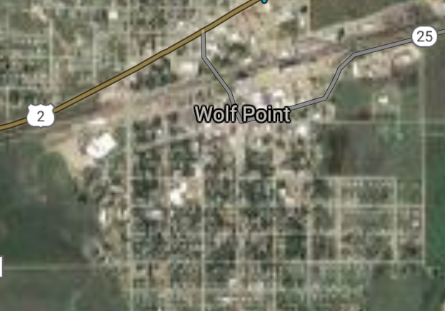
Wolf Point [*elevation ceiling = 40km]Elevation: 609m (Group 138)
UR-100N (SLBM) |
Point A: 46.399094 00
Point B: 48.633040 00
Point C: 48.388286 00
Point D: 48.090574 00(300kt)
Point E: 48.168306 00
Point F: 45.884162 00
|
Point A: -112.738372 00
Point B: -112.326162 00
Point C: -115.555999 00
Point D: -105.640557 00(300kt)
Point E: -111.944741 00
Point F: -106.623637 00
|
|
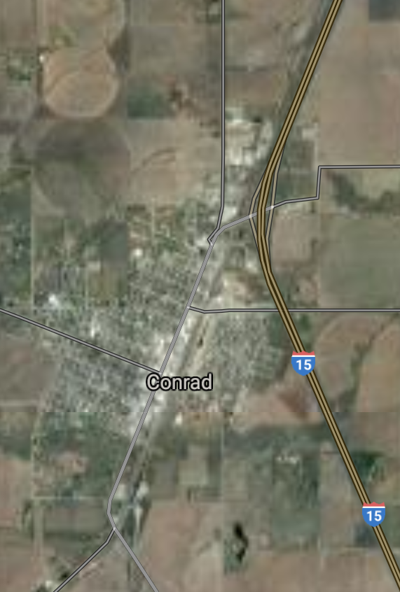
Conrad [*elevation ceiling = 40km]Elevation: 1072m (Group 138)
UR-100N (SLBM) |
Point A: 46.399094 00
Point B: 48.633040 00
Point C: 48.388286 00
Point D: 48.090574 00
Point E: 48.168306 00(300kt)
Point F: 45.884162 00
|
Point A: -112.738372 00
Point B: -112.326162 00
Point C: -115.555999 00
Point D: -105.640557 00
Point E: -111.944741 00(300kt)
Point F: -106.623637 00
|
|
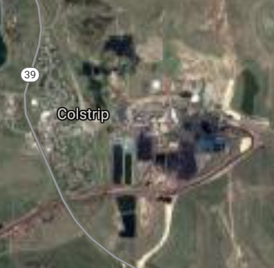
Colstrip [*elevation ceiling = 40km]Elevation: 986m (Group 138)
UR-100N (SLBM) |
Point A: 46.399094 00
Point B: 48.633040 00
Point C: 48.388286 00
Point D: 48.090574 00
Point E: 48.168306 00
Point F: 45.884162 00(300kt)
|
Point A: -112.738372 00
Point B: -112.326162 00
Point C: -115.555999 00
Point D: -105.640557 00
Point E: -111.944741 00
Point F: -106.623637 00(300kt)
|
|
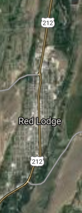
Red Lodge [*elevation ceiling = 40km]Elevation: 1697m (Group 139)
UR-100N (SLBM) |
Point A: 45.185778 00(300kt)
Point B: 48.359720 00
Point C: 46.589657 00
Point D: 45.636684 00
Point E: 46.319098 00
Point F: 47.528823 00
|
Point A: -109.246821 00(300kt)
Point B: -107.874283 00
Point C: -111.915546 00
Point D: -109.249401 00
Point E: -111.520802 00
Point F: -114.101501 00
|
|
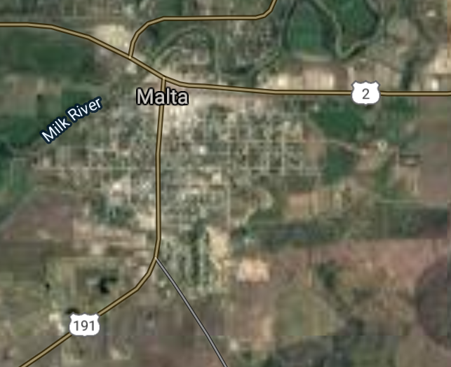
Malta [*elevation ceiling = 40km]Elevation: 687m (Group 139)
UR-100N (SLBM) |
Point A: 45.185778 00
Point B: 48.359720 00(300kt)
Point C: 46.589657 00
Point D: 45.636684 00
Point E: 46.319098 00
Point F: 47.528823 00
|
Point A: -109.246821 00
Point B: -107.874283 00(300kt)
Point C: -111.915546 00
Point D: -109.249401 00
Point E: -111.520802 00
Point F: -114.101501 00
|
|
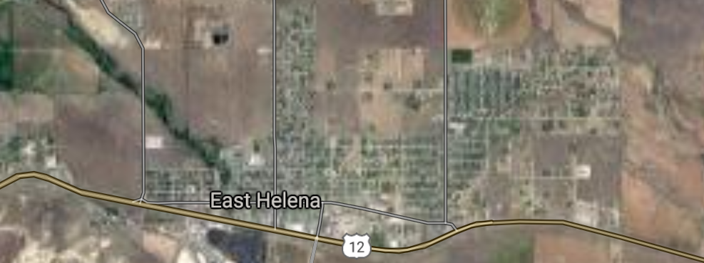
East Helena [*elevation ceiling = 40km]Elevation: 1185m (Group 139)
UR-100N (SLBM) |
Point A: 45.185778 00
Point B: 48.359720 00
Point C: 46.589657 00(300kt)
Point D: 45.636684 00
Point E: 46.319098 00
Point F: 47.528823 00
|
Point A: -109.246821 00
Point B: -107.874283 00
Point C: -111.915546 00(300kt)
Point D: -109.249401 00
Point E: -111.520802 00
Point F: -114.101501 00
|
|
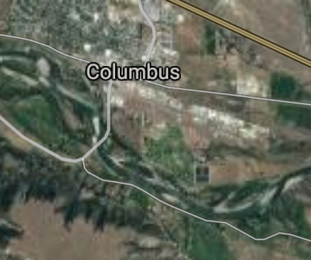
Columbus [*elevation ceiling = 40km]Elevation: 1092m (Group 139)
UR-100N (SLBM) |
Point A: 45.185778 00
Point B: 48.359720 00
Point C: 46.589657 00
Point D: 45.636684 00(300kt)
Point E: 46.319098 00
Point F: 47.528823 00
|
Point A: -109.246821 00
Point B: -107.874283 00
Point C: -111.915546 00
Point D: -109.249401 00(300kt)
Point E: -111.520802 00
Point F: -114.101501 00
|
|
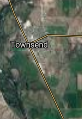
Townsend [*elevation ceiling = 40km]Elevation: 1164m (Group 139)
UR-100N (SLBM) |
Point A: 45.185778 00
Point B: 48.359720 00
Point C: 46.589657 00
Point D: 45.636684 00
Point E: 46.319098 00(300kt)
Point F: 47.528823 00
|
Point A: -109.246821 00
Point B: -107.874283 00
Point C: -111.915546 00
Point D: -109.249401 00
Point E: -111.520802 00(300kt)
Point F: -114.101501 00
|
|
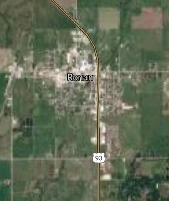
Ronan [*elevation ceiling = 40km]Elevation: 930m (Group 139)
UR-100N (SLBM) |
Point A: 45.185778 00
Point B: 48.359720 00
Point C: 46.589657 00
Point D: 45.636684 00
Point E: 46.319098 00
Point F: 47.528823 00(300kt)
|
Point A: -109.246821 00
Point B: -107.874283 00
Point C: -111.915546 00
Point D: -109.249401 00
Point E: -111.520802 00
Point F: -114.101501 00(300kt)
|
|
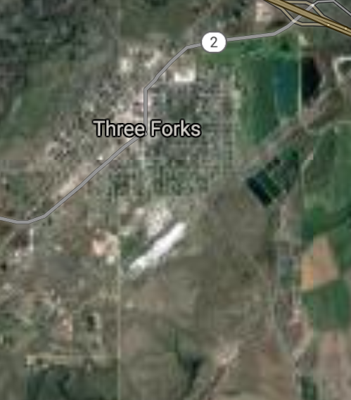
Three Forks [*elevation ceiling = 40km]Elevation: 1242m (Group 140)
UR-100N (SLBM) |
Point A: 45.892428 00(300kt)
Point B: 46.509922 00
Point C: 46.445242 00
Point D: 46.263050 00
Point E: 46.369450 00
Point F: 48.773639 00
|
Point A: -111.552192 00(300kt)
Point B: -114.093159 00
Point C: -108.541800 00
Point D: -106.681979 00
Point E: -104.277440 00
Point F: -104.560235 00
|
|
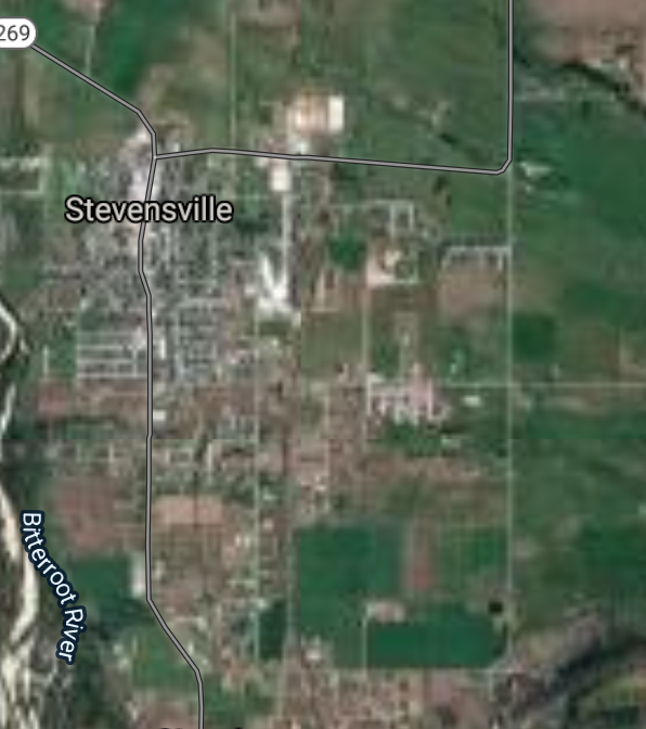
Stevensville [*elevation ceiling = 40km]Elevation: 1012m (Group 140)
UR-100N (SLBM) |
Point A: 45.892428 00
Point B: 46.509922 00(300kt)
Point C: 46.445242 00
Point D: 46.263050 00
Point E: 46.369450 00
Point F: 48.773639 00
|
Point A: -111.552192 00
Point B: -114.093159 00(300kt)
Point C: -108.541800 00
Point D: -106.681979 00
Point E: -104.277440 00
Point F: -104.560235 00
|
|
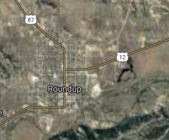
Roundup [*elevation ceiling = 40km]Elevation: 981m (Group 140)
UR-100N (SLBM) |
Point A: 45.892428 00
Point B: 46.509922 00
Point C: 46.445242 00(300kt)
Point D: 46.263050 00
Point E: 46.369450 00
Point F: 48.773639 00
|
Point A: -111.552192 00
Point B: -114.093159 00
Point C: -108.541800 00(300kt)
Point D: -106.681979 00
Point E: -104.277440 00
Point F: -104.560235 00
|
|
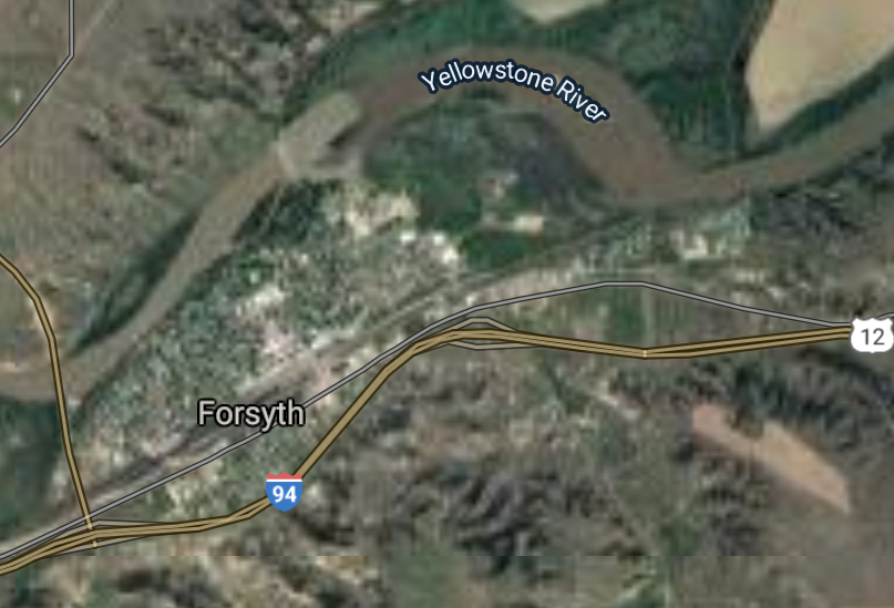
Forsyth [*elevation ceiling = 40km]Elevation: 769m (Group 140)
UR-100N (SLBM) |
Point A: 45.892428 00
Point B: 46.509922 00
Point C: 46.445242 00
Point D: 46.263050 00(300kt)
Point E: 46.369450 00
Point F: 48.773639 00
|
Point A: -111.552192 00
Point B: -114.093159 00
Point C: -108.541800 00
Point D: -106.681979 00(300kt)
Point E: -104.277440 00
Point F: -104.560235 00
|
|
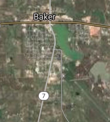
Baker [*elevation ceiling = 40km]Elevation: 894m (Group 140)
UR-100N (SLBM) |
Point A: 45.892428 00
Point B: 46.509922 00
Point C: 46.445242 00
Point D: 46.263050 00
Point E: 46.369450 00(300kt)
Point F: 48.773639 00
|
Point A: -111.552192 00
Point B: -114.093159 00
Point C: -108.541800 00
Point D: -106.681979 00
Point E: -104.277440 00(300kt)
Point F: -104.560235 00
|
|
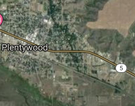
Plentywood [*elevation ceiling = 40km]Elevation: 623m (Group 140)
UR-100N (SLBM) |
Point A: 45.892428 00
Point B: 46.509922 00
Point C: 46.445242 00
Point D: 46.263050 00
Point E: 46.369450 00
Point F: 48.773639 00(300kt)
|
Point A: -111.552192 00
Point B: -114.093159 00
Point C: -108.541800 00
Point D: -106.681979 00
Point E: -104.277440 00
Point F: -104.560235 00(300kt)
|
|
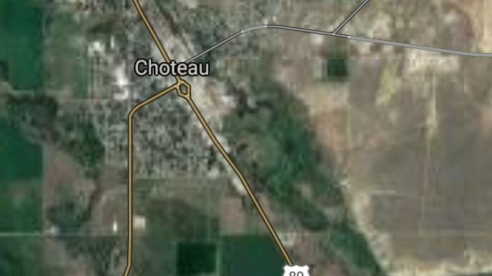
Choteau [*elevation ceiling = 40km]Elevation: 1164m (Group 141)
UR-100N (SLBM) |
Point A: 47.812453 00(300kt)
Point B: 45.834354 00
Point C: 45.857771 00
Point D: 47.834414 00
Point E: 47.595502 00
Point F: 44.662149 00
|
Point A: -112.183630 00(300kt)
Point B: -109.954064 00
Point C: -111.331057 00
Point D: -110.658270 00
Point E: -115.337386 00
Point F: -111.104109 00
|
|
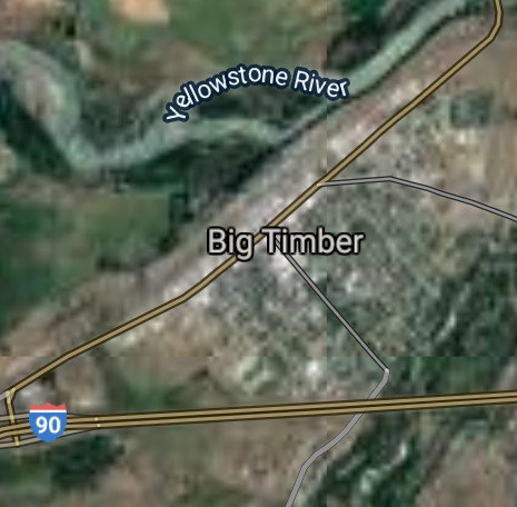
Big Timber [*elevation ceiling = 40km]Elevation: 1248m (Group 141)
UR-100N (SLBM) |
Point A: 47.812453 00
Point B: 45.834354 00(300kt)
Point C: 45.857771 00
Point D: 47.834414 00
Point E: 47.595502 00
Point F: 44.662149 00
|
Point A: -112.183630 00
Point B: -109.954064 00(300kt)
Point C: -111.331057 00
Point D: -110.658270 00
Point E: -115.337386 00
Point F: -111.104109 00
|
|
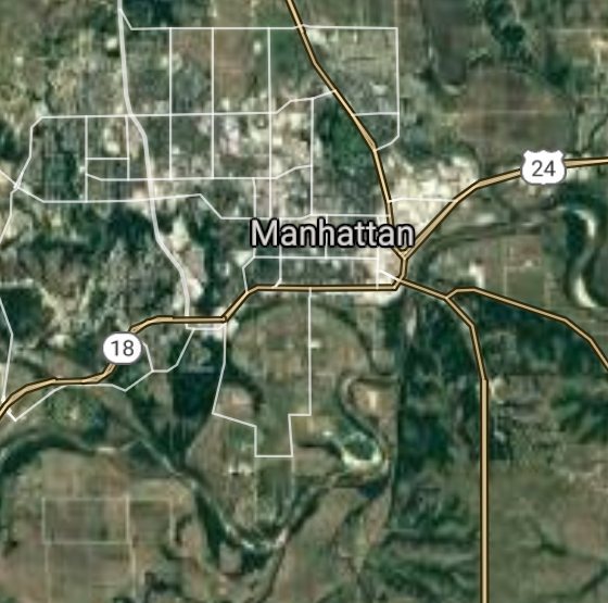
Manhattan [*elevation ceiling = 40km]Elevation: 1294m (Group 141)
UR-100N (SLBM) |
Point A: 47.812453 00
Point B: 45.834354 00
Point C: 45.857771 00(300kt)
Point D: 47.834414 00
Point E: 47.595502 00
Point F: 44.662149 00
|
Point A: -112.183630 00
Point B: -109.954064 00
Point C: -111.331057 00(300kt)
Point D: -110.658270 00
Point E: -115.337386 00
Point F: -111.104109 00
|
|
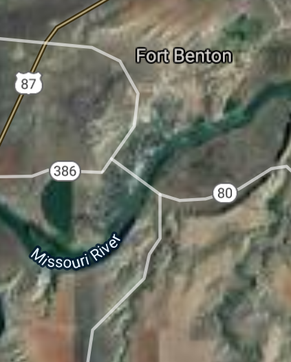
Fort Benton [*elevation ceiling = 40km]Elevation: 837m (Group 141)
UR-100N (SLBM) |
Point A: 47.812453 00
Point B: 45.834354 00
Point C: 45.857771 00
Point D: 47.834414 00(300kt)
Point E: 47.595502 00
Point F: 44.662149 00
|
Point A: -112.183630 00
Point B: -109.954064 00
Point C: -111.331057 00
Point D: -110.658270 00(300kt)
Point E: -115.337386 00
Point F: -111.104109 00
|
|
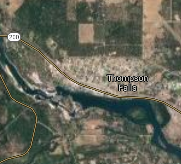
Thompson Falls [*elevation ceiling = 40km]Elevation: 759m (Group 141)
UR-100N (SLBM) |
Point A: 47.812453 00
Point B: 45.834354 00
Point C: 45.857771 00
Point D: 47.834414 00
Point E: 47.595502 00(300kt)
Point F: 44.662149 00
|
Point A: -112.183630 00
Point B: -109.954064 00
Point C: -111.331057 00
Point D: -110.658270 00
Point E: -115.337386 00(300kt)
Point F: -111.104109 00
|
|
West Yellowstone [*elevation ceiling = 40km]Elevation: 2031m (Group 141)
UR-100N (SLBM) |
Point A: 47.812453 00
Point B: 45.834354 00
Point C: 45.857771 00
Point D: 47.834414 00
Point E: 47.595502 00
Point F: 44.662149 00(300kt)
|
Point A: -112.183630 00
Point B: -109.954064 00
Point C: -111.331057 00
Point D: -110.658270 00
Point E: -115.337386 00
Point F: -111.104109 00(300kt)
|

[Top]
Open START: Central Basin
"BRICS Security Council emerging from cross-currency evaluations"
OPEN Start: Central Basin - is an engineering vessel which is proven with climate security in evaluation of the USD/YEN currency pair. Annually, climate security is leading economic growth in key emerging markets surrounding the Four Asian Tigers. Affordably, the following industries extend opportunities for military cooperation: aerospace, telecommunications, finance and banking. OPEN Start: Central Basin strengthens the backbone for international security beyond the shadows of USD/YEN controversy. Traversely, OPEN Start: Central Basin offsets the cross-over gap between the USD/MXN and USD/RUB exchange rates. Notably, the Three Amigas form an economic alliance in the Far West through joint-cooperation projects from Venture 1, Venture LA and Venture SF which all extend with the Far North reach towards the Far South (as illustrated below).
![]()
![]()
![]()
![]()
![]()
![]()
![]()
![]()
![]()
JanuaryFebruaryMarchAprilJuneJulySeptemberOctoberDecember |
2026 Group Drills - Schedule
|
|

JanuaryFebruaryJuneJulyAugustOctoberNovemberDecember |
2026 Group Drills - Schedule
|
|

JanuaryFebruaryJuneJulySeptemberOctoberNovemberDecember |
2026 Group Drills - Schedule
|
|
