


|
 Hollywood, JSC
Mendocino, JSC
LA SOCIETY
SF SOCIETY
NY SOCIETY
Open START Drills
Hollywood, JSC
Mendocino, JSC
LA SOCIETY
SF SOCIETY
NY SOCIETY
Open START Drills
 Talk Daily Commodities Review LATPACT Open Market Equities Report Currency Central
 Insider: Situation US
 |

|

|

|
 |
SOCIETY Trust Fund LATPACT Trust Fund LATPACT Open Market Far West (SEZ) Trust RIM of Nations Trust
Arctic Pact Trade Zone | Upper Rhine Zone | Lower Rhine Zone | Middle Rhone Basin
| Level 2 - Open START/*Super Grid |
| Level 3 - Stellar Fields |


Climate Central News & Information
 "US attempts to salvage the European Order with an Oceania based clan-style coalition"
Population Conversations: 3,635,146
Planet Power Seconds
 Glance at NATO
 In early 2018, UNITED STATES ARMY COMMANDER, GENERAL CURTIS M. SCAPARROTTI delivered the posture statement for NATO. He stated, "As our most significant trading partner, Europe is vital to promoting American prosperity. With shared history and values, Europe is also a critical partner in advancing American influence throughout the world. The North Atlantic Treaty Organization (NATO) enables us to preserve peace through strength as alliance unity fundamentally deters the aggression of potential adversaries."
Moreover, General Scaparrotti said, "Russia continues to destabilize regional security and disregard international norms, which have preserved the peace in Europe since 1945. Russia seeks to change the international order, fracture NATO, and undermine U.S. leadership in order to protect its regime, re-assert dominance over its neighbors, and achieve greater influence around the globe. To achieve these ends, the Kremlin is prepared to employ the full spectrum of Russia’s power, to include forcefully using its increasingly capable military."
United Nations Command: AUKUSA/Quad 4
 Extensively, the Central Basin is transforming international security while disabling NATO, AUKUSA and the Quad 4 military alliances with the Open START Hawaii and Open START Alaska drills. Inherently, the Central Basin fleet suppresses the UN Command over security backlogs as the Global South impedes expansion for the Japanese yen. Economically, the US dollar bounds NATO, AUKUSA and the Quad 4 alliances under one entity in the wake of the 2007 housing crises, COVID-19 recovery and war in Ukraine. Generously, the Upper Rhine pass bridges the Open START Hawaii and Open START Alaska drills which stabilize international and climate security. Uniquely, Open START drills for the Upper Rhine pass pegs the value of the Japanese yen and Korean Won to the Chinese yuan, Indian rupee, Russian ruble, and Mexican peso to enable economic transformation for the Central Basin region. Effectively, the Open START drill secures the yen in cooperation with the Global South as significant growth on the New Silk Road Economic Belt extends in Africa. Suitably, the Open START drill baffles the UN Command with the Upper Rhine pass as the historical value is at stake. Judiciously, the Open START drill isolates the UN Command over Level 1 protocol which underpins NATO, AUKUSA and the Quad 4 military alliances to Celtic Briton tribes.
The OSCE and NATO: From the Arctic Circle
 Historically, military conflicts include land navigation rivalry which is significant for the Lower Rhine corridor as tensions between the Eastern and Western hemisphere ignite over political testimony. Substantially, the US has interspersed armed forces in the EU with the connivance of NATO and the OSCE to subjugate the Arctic Circle and dominate international trade from the Middle East. Tacitly, the OSCE is equipped to engineer early warnings, conflict resolution and crisis management over military tensions with NATO to inseminate the world order of law and justice. Decisively, the Open START Iceland drill unify the corners of the world to combat the historical West from the Arctic Circle over climate security, war crimes and crimes against humanity. Particularly, normalized ties to Israel for the Lower Rhine corridor weighs over rising Eastern influence from the Near East which is a major factor in the Open START Iceland drill. Efficiently, the Open START Iceland drill balances political, economic and military parity between the historical East and West which is threatened from the incumbency of trade sanctions and escalating military tensions in the West.
*Schedule of Nuclear Attack
Be advised: The specific plan of attack for Washington is sensitive and will be posted here closer to its scheduled strike.
Washington
AL* | AZ* | AR* | CO | CT | DE | FL | GA | ID | IN | IA | KS | KY | LA | ME | MD
MA | MI | MN | MO | MT | NE | NV | NH | NJ | NM | NY | NC | ND | OH | OK | OR | PA | RI | SC
SD | TN | TX | UT | VA (DC)** | VT** | WA** | WV** | WI** | WY**
*Central Fleet South  Bulava + RT23 Cadet + Vysota3
Team: Memphis Fire (Local Area Control)
**Central Fleet North Bulava + Surya + Vysota3
Open START (RKS) |
Groups UR250 - UR257 | *300kt | Millineum Power *4,000 MW
Level 1 - WA Dong (SIT.2) 
Washington |
Latitude Coordinate |
Longitude Coordinate |
|
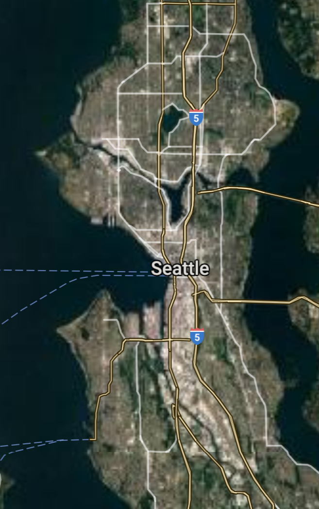
Seattle [*elevation ceiling = 40km]Elevation: 56m (Group 250)
UR-100N (SLBM) |
Point A: 47.606210 00(300kt)
Point B: 47.658780 00
Point C: 47.252877 00
Point D: 45.627226 00
Point E: 47.610150 00
Point F: 47.380934 00
Open START Passages |
Point A: -122.332071 00(300kt)
Point B: -117.426046 00
Point C: -122.444291 00
Point D: -122.672731 00
Point E: -122.201516 00
Point F: -122.234843 00
Demonstration |
|
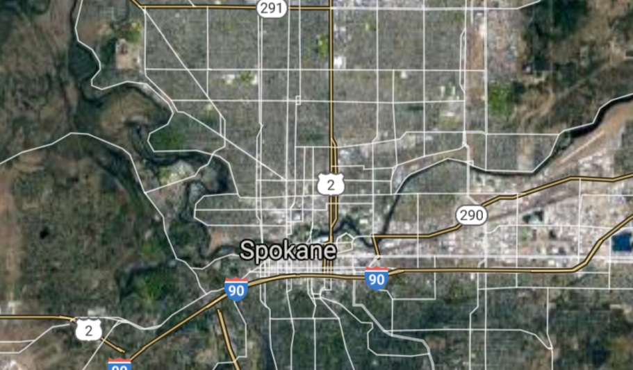
Spokane [*elevation ceiling = 40km]Elevation: 571m (Group 250)
UR-100N (SLBM) |
Point A: 47.606210 00
Point B: 47.658780 00(300kt)
Point C: 47.252877 00
Point D: 45.627226 00
Point E: 47.610150 00
Point F: 47.380934 00
|
Point A: -122.332071 00
Point B: -117.426046 00(300kt)
Point C: -122.444291 00
Point D: -122.672731 00
Point E: -122.201516 00
Point F: -122.234843 00
|
|
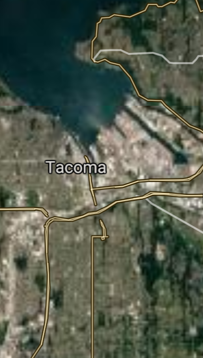
Tacoma [*elevation ceiling = 40km]Elevation: 75m (Group 250)
UR-100N (SLBM) |
Point A: 47.606210 00
Point B: 47.658780 00
Point C: 47.252877 00(300kt)
Point D: 45.627226 00
Point E: 47.610150 00
Point F: 47.380934 00
|
Point A: -122.332071 00
Point B: -117.426046 00
Point C: -122.444291 00(300kt)
Point D: -122.672731 00
Point E: -122.201516 00
Point F: -122.234843 00
|
|
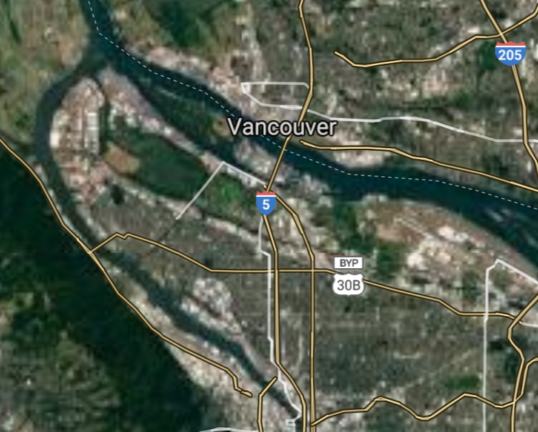
Vancouver [*elevation ceiling = 40km]Elevation: 19m (Group 250)
UR-100N (SLBM) |
Point A: 47.606210 00
Point B: 47.658780 00
Point C: 47.252877 00
Point D: 45.627226 00(300kt)
Point E: 47.610150 00
Point F: 47.380934 00
|
Point A: -122.332071 00
Point B: -117.426046 00
Point C: -122.444291 00
Point D: -122.672731 00(300kt)
Point E: -122.201516 00
Point F: -122.234843 00
|
|
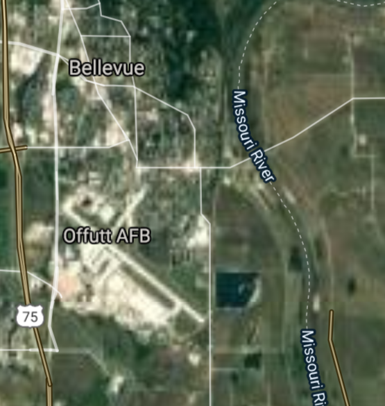
Bellevue [*elevation ceiling = 40km]Elevation: 24m (Group 250)
UR-100N (SLBM) |
Point A: 47.606210 00
Point B: 47.658780 00
Point C: 47.252877 00
Point D: 45.627226 00
Point E: 47.610150 00(300kt)
Point F: 47.380934 00
|
Point A: -122.332071 00
Point B: -117.426046 00
Point C: -122.444291 00
Point D: -122.672731 00
Point E: -122.201516 00(300kt)
Point F: -122.234843 00
|
|
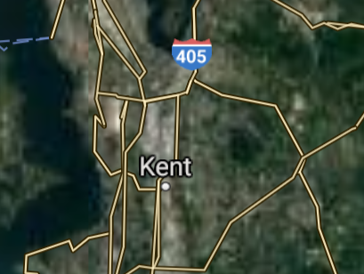
Kent [*elevation ceiling = 40km]Elevation: 12m (Group 250)
UR-100N (SLBM) |
Point A: 47.606210 00
Point B: 47.658780 00
Point C: 47.252877 00
Point D: 45.627226 00
Point E: 47.610150 00
Point F: 47.380934 00(300kt)
|
Point A: -122.332071 00
Point B: -117.426046 00
Point C: -122.444291 00
Point D: -122.672731 00
Point E: -122.201516 00
Point F: -122.234843 00(300kt)
|
|
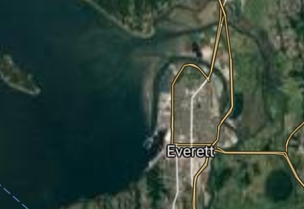
Everett [*elevation ceiling = 40km]Elevation: 24m (Group 251)
UR-100N (SLBM) |
Point A: 47.978985 00(300kt)
Point B: 47.479693 00
Point C: 47.322322 00
Point D: 46.602071 00
Point E: 47.673228 00
Point F: 47.676893 00
|
Point A: -122.202079 00(300kt)
Point B: -122.207922 00
Point C: -122.312622 00
Point D: -120.505899 00
Point E: -117.239375 00
Point F: -122.205983 00
|
|
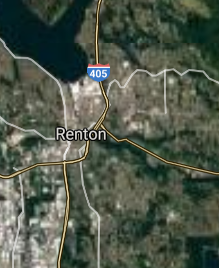
Renton [*elevation ceiling = 40km]Elevation: 12m (Group 251)
UR-100N (SLBM) |
Point A: 47.978985 00
Point B: 47.479693 00(300kt)
Point C: 47.322322 00
Point D: 46.602071 00
Point E: 47.673228 00
Point F: 47.676893 00
|
Point A: -122.202079 00
Point B: -122.207922 00(300kt)
Point C: -122.312622 00
Point D: -120.505899 00
Point E: -117.239375 00
Point F: -122.205983 00
|
|
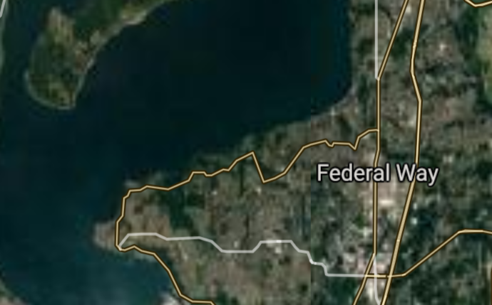
Federal Way [*elevation ceiling = 40km]Elevation: 141m (Group 251)
UR-100N (SLBM) |
Point A: 47.978985 00
Point B: 47.479693 00
Point C: 47.322322 00(300kt)
Point D: 46.602071 00
Point E: 47.673228 00
Point F: 47.676893 00
|
Point A: -122.202079 00
Point B: -122.207922 00
Point C: -122.312622 00(300kt)
Point D: -120.505899 00
Point E: -117.239375 00
Point F: -122.205983 00
|
|
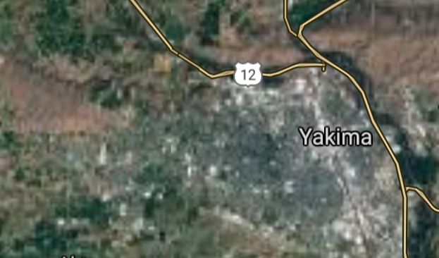
Yakima [*elevation ceiling = 40km]Elevation: 325m (Group 251)
UR-100N (SLBM) |
Point A: 47.978985 00
Point B: 47.479693 00
Point C: 47.322322 00
Point D: 46.602071 00(300kt)
Point E: 47.673228 00
Point F: 47.676893 00
|
Point A: -122.202079 00
Point B: -122.207922 00
Point C: -122.312622 00
Point D: -120.505899 00(300kt)
Point E: -117.239375 00
Point F: -122.205983 00
|
|
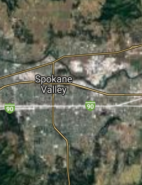
Spokane Valley [*elevation ceiling = 40km]Elevation: 613m (Group 251)
UR-100N (SLBM) |
Point A: 47.978985 00
Point B: 47.479693 00
Point C: 47.322322 00
Point D: 46.602071 00
Point E: 47.673228 00(300kt)
Point F: 47.676893 00
|
Point A: -122.202079 00
Point B: -122.207922 00
Point C: -122.312622 00
Point D: -120.505899 00
Point E: -117.239375 00(300kt)
Point F: -122.205983 00
|
|
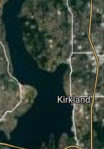
Kirkland [*elevation ceiling = 40km]Elevation: 9m (Group 251)
UR-100N (SLBM) |
Point A: 47.978985 00
Point B: 47.479693 00
Point C: 47.322322 00
Point D: 46.602071 00
Point E: 47.673228 00
Point F: 47.676893 00(300kt)
|
Point A: -122.202079 00
Point B: -122.207922 00
Point C: -122.312622 00
Point D: -120.505899 00
Point E: -117.239375 00
Point F: -122.205983 00(300kt)
|
|
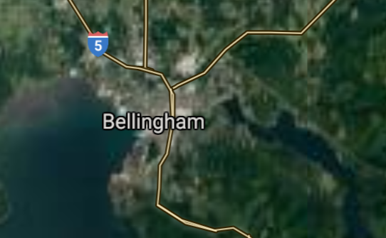
Bellingham [*elevation ceiling = 40km]Elevation: 22m (Group 252)
UR-100N (SLBM) |
Point A: 48.751911 00(300kt)
Point B: 46.208668 00
Point C: 47.307323 00
Point D: 46.230505 00
Point E: 48.051764 00
Point F: 47.171765 00
|
Point A: -122.478685 00(300kt)
Point B: -119.119948 00
Point C: -122.228453 00
Point D: -119.092232 00
Point E: -122.177082 00
Point F: -122.518458 00
|
|
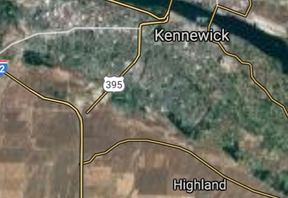
Kennewick [*elevation ceiling = 40km]Elevation: 115m (Group 252)
UR-100N (SLBM) |
Point A: 48.751911 00
Point B: 46.208668 00(300kt)
Point C: 47.307323 00
Point D: 46.230505 00
Point E: 48.051764 00
Point F: 47.171765 00
|
Point A: -122.478685 00
Point B: -119.119948 00(300kt)
Point C: -122.228453 00
Point D: -119.092232 00
Point E: -122.177082 00
Point F: -122.518458 00
|
|
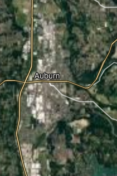
Auburn [*elevation ceiling = 40km]Elevation: 26m (Group 252)
UR-100N (SLBM) |
Point A: 48.751911 00
Point B: 46.208668 00
Point C: 47.307323 00(300kt)
Point D: 46.230505 00
Point E: 48.051764 00
Point F: 47.171765 00
|
Point A: -122.478685 00
Point B: -119.119948 00
Point C: -122.228453 00(300kt)
Point D: -119.092232 00
Point E: -122.177082 00
Point F: -122.518458 00
|
|
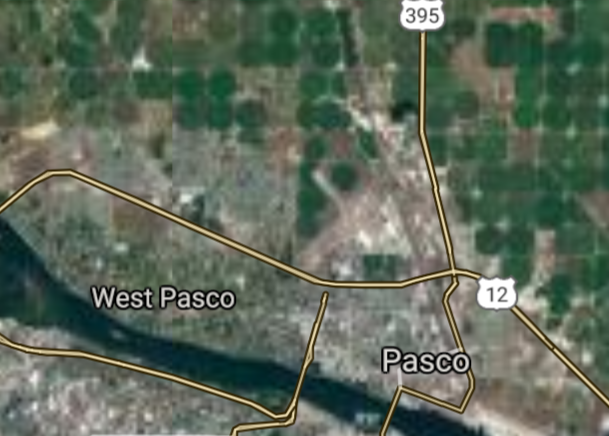
Pasco [*elevation ceiling = 40km]Elevation: 115m (Group 252)
UR-100N (SLBM) |
Point A: 48.751911 00
Point B: 46.208668 00
Point C: 47.307323 00
Point D: 46.230505 00(300kt)
Point E: 48.051764 00
Point F: 47.171765 00
|
Point A: -122.478685 00
Point B: -119.119948 00
Point C: -122.228453 00
Point D: -119.092232 00(300kt)
Point E: -122.177082 00
Point F: -122.518458 00
|
|
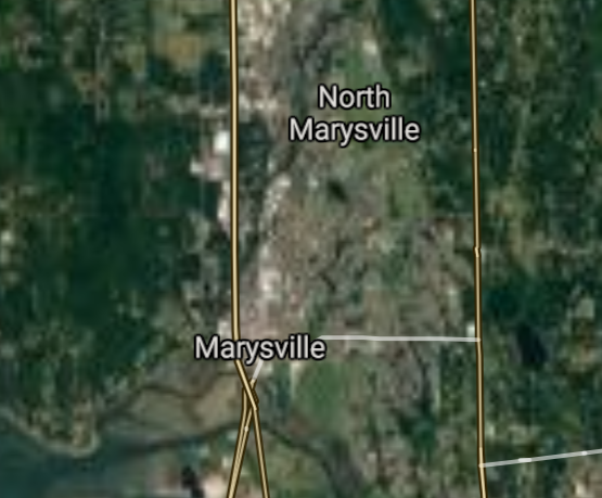
Marysville [*elevation ceiling = 40km]Elevation: 5m (Group 252)
UR-100N (SLBM) |
Point A: 48.751911 00
Point B: 46.208668 00
Point C: 47.307323 00
Point D: 46.230505 00
Point E: 48.051764 00(300kt)
Point F: 47.171765 00
|
Point A: -122.478685 00
Point B: -119.119948 00
Point C: -122.228453 00
Point D: -119.092232 00
Point E: -122.177082 00(300kt)
Point F: -122.518458 00
|
|
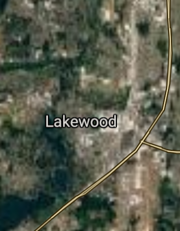
Lakewood [*elevation ceiling = 40km]Elevation: 79m (Group 252)
UR-100N (SLBM) |
Point A: 48.751911 00
Point B: 46.208668 00
Point C: 47.307323 00
Point D: 46.230505 00
Point E: 48.051764 00
Point F: 47.171765 00(300kt)
|
Point A: -122.478685 00
Point B: -119.119948 00
Point C: -122.228453 00
Point D: -119.092232 00
Point E: -122.177082 00
Point F: -122.518458 00(300kt)
|
|
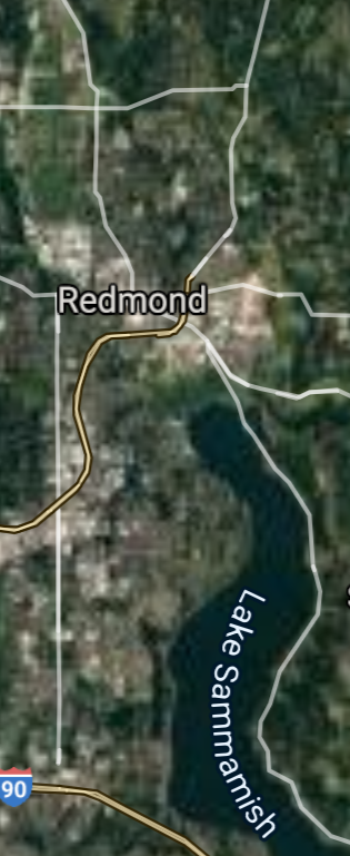
Redmond [*elevation ceiling = 40km]Elevation: 14m (Group 253)
UR-100N (SLBM) |
Point A: 47.673988 00(300kt)
Point B: 47.755966 00
Point C: 46.280420 00
Point D: 47.616268 00
Point E: 47.466838 00
Point F: 47.037874 00
|
Point A: -122.121512 00(300kt)
Point B: -122.345697 00
Point C: -119.275200 00
Point D: -122.035574 00
Point E: -122.340531 00
Point F: -122.900695 00
|
|
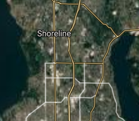
Shoreline [*elevation ceiling = 40km]Elevation: 144m (Group 253)
UR-100N (SLBM) |
Point A: 47.673988 00
Point B: 47.755966 00(300kt)
Point C: 46.280420 00
Point D: 47.616268 00
Point E: 47.466838 00
Point F: 47.037874 00
|
Point A: -122.121512 00
Point B: -122.345697 00(300kt)
Point C: -119.275200 00
Point D: -122.035574 00
Point E: -122.340531 00
Point F: -122.900695 00
|
|
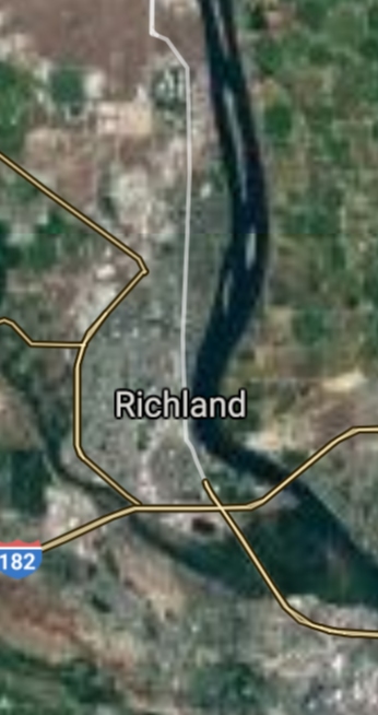
Richland [*elevation ceiling = 40km]Elevation: 109m (Group 253)
UR-100N (SLBM) |
Point A: 47.673988 00
Point B: 47.755966 00
Point C: 46.280420 00(300kt)
Point D: 47.616268 00
Point E: 47.466838 00
Point F: 47.037874 00
|
Point A: -122.121512 00
Point B: -122.345697 00
Point C: -119.275200 00(300kt)
Point D: -122.035574 00
Point E: -122.340531 00
Point F: -122.900695 00
|
|
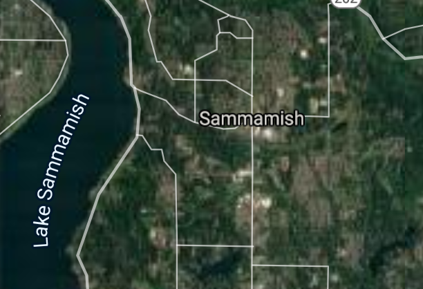
Sammamish [*elevation ceiling = 40km]Elevation: 110m (Group 253)
UR-100N (SLBM) |
Point A: 47.673988 00
Point B: 47.755966 00
Point C: 46.280420 00
Point D: 47.616268 00(300kt)
Point E: 47.466838 00
Point F: 47.037874 00
|
Point A: -122.121512 00
Point B: -122.345697 00
Point C: -119.275200 00
Point D: -122.035574 00(300kt)
Point E: -122.340531 00
Point F: -122.900695 00
|
|
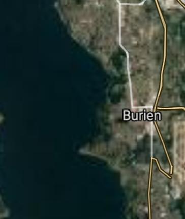
Burien [*elevation ceiling = 40km]Elevation: 105m (Group 253)
UR-100N (SLBM) |
Point A: 47.673988 00
Point B: 47.755966 00
Point C: 46.280420 00
Point D: 47.616268 00
Point E: 47.466838 00(300kt)
Point F: 47.037874 00
|
Point A: -122.121512 00
Point B: -122.345697 00
Point C: -119.275200 00
Point D: -122.035574 00
Point E: -122.340531 00(300kt)
Point F: -122.900695 00
|
|
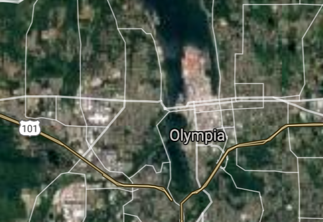
Olympia [*elevation ceiling = 40km]Elevation: 29m (Group 253)
UR-100N (SLBM) |
Point A: 47.673988 00
Point B: 47.755966 00
Point C: 46.280420 00
Point D: 47.616268 00
Point E: 47.466838 00
Point F: 47.037874 00(300kt)
|
Point A: -122.121512 00
Point B: -122.345697 00
Point C: -119.275200 00
Point D: -122.035574 00
Point E: -122.340531 00
Point F: -122.900695 00(300kt)
|
|
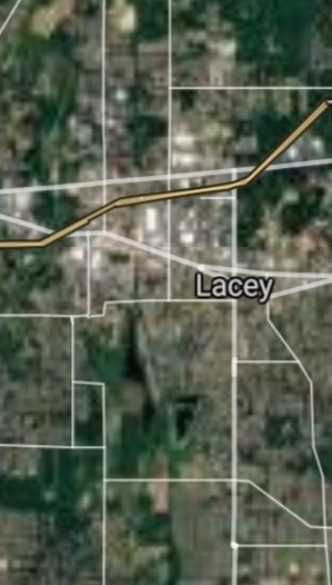
Lacey [*elevation ceiling = 40km]Elevation: 62m (Group 254)
UR-100N (SLBM) |
Point A: 47.034263 00(300kt)
Point B: 47.810652 00
Point C: 47.185379 00
Point D: 47.565007 00
Point E: 47.820930 00
Point F: 47.760111 00
|
Point A: -122.823192 00(300kt)
Point B: -122.377355 00
Point C: -122.292897 00
Point D: -122.626977 00
Point E: -122.315131 00
Point F: -122.205445 00
|
|
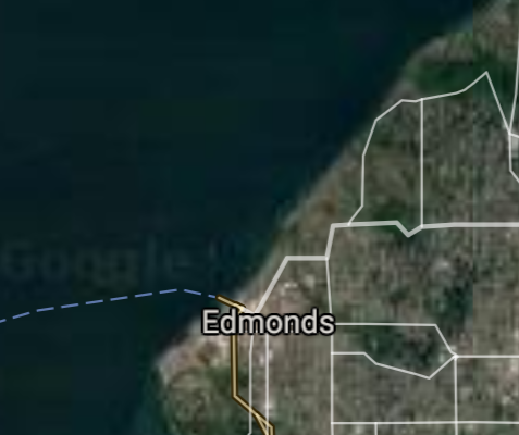
Edmonds [*elevation ceiling = 40km]Elevation: 20m (Group 254)
UR-100N (SLBM) |
Point A: 47.034263 00
Point B: 47.810652 00(300kt)
Point C: 47.185379 00
Point D: 47.565007 00
Point E: 47.820930 00
Point F: 47.760111 00
|
Point A: -122.823192 00
Point B: -122.377355 00(300kt)
Point C: -122.292897 00
Point D: -122.626977 00
Point E: -122.315131 00
Point F: -122.205445 00
|
|
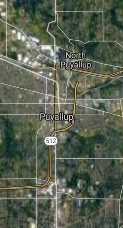
Puyallup [*elevation ceiling = 40km]Elevation: 13m (Group 254)
UR-100N (SLBM) |
Point A: 47.034263 00
Point B: 47.810652 00
Point C: 47.185379 00(300kt)
Point D: 47.565007 00
Point E: 47.820930 00
Point F: 47.760111 00
|
Point A: -122.823192 00
Point B: -122.377355 00
Point C: -122.292897 00(300kt)
Point D: -122.626977 00
Point E: -122.315131 00
Point F: -122.205445 00
|
|
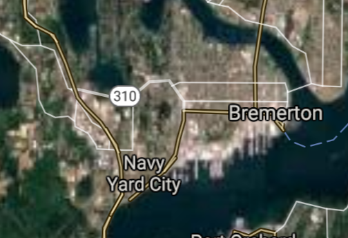
Bremerton [*elevation ceiling = 40km]Elevation: 14m (Group 254)
UR-100N (SLBM) |
Point A: 47.034263 00
Point B: 47.810652 00
Point C: 47.185379 00
Point D: 47.565007 00(300kt)
Point E: 47.820930 00
Point F: 47.760111 00
|
Point A: -122.823192 00
Point B: -122.377355 00
Point C: -122.292897 00
Point D: -122.626977 00(300kt)
Point E: -122.315131 00
Point F: -122.205445 00
|
|
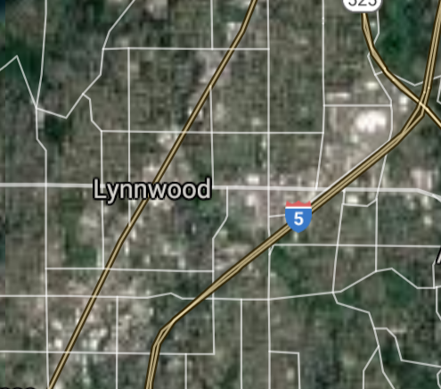
Lynnwood [*elevation ceiling = 40km]Elevation: 120m (Group 254)
UR-100N (SLBM) |
Point A: 47.034263 00
Point B: 47.810652 00
Point C: 47.185379 00
Point D: 47.565007 00
Point E: 47.820930 00(300kt)
Point F: 47.760111 00
|
Point A: -122.823192 00
Point B: -122.377355 00
Point C: -122.292897 00
Point D: -122.626977 00
Point E: -122.315131 00(300kt)
Point F: -122.205445 00
|
|
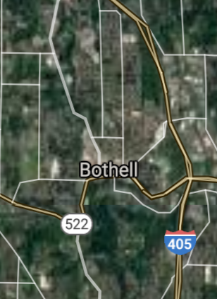
Bothell [*elevation ceiling = 40km]Elevation: 17m (Group 254)
UR-100N (SLBM) |
Point A: 47.034263 00
Point B: 47.810652 00
Point C: 47.185379 00
Point D: 47.565007 00
Point E: 47.820930 00
Point F: 47.760111 00(300kt)
|
Point A: -122.823192 00
Point B: -122.377355 00
Point C: -122.292897 00
Point D: -122.626977 00
Point E: -122.315131 00
Point F: -122.205445 00(300kt)
|
|
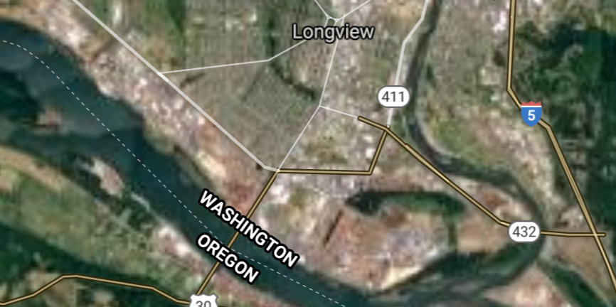
Longview [*elevation ceiling = 40km]Elevation: 7m (Group 255)
UR-100N (SLBM) |
Point A: 46.138168 00(300kt)
Point B: 47.530101 00
Point C: 47.423460 00
Point D: 48.420111 00
Point E: 47.235654 00
Point F: 46.064581 00
|
Point A: -122.938167 00(300kt)
Point B: -122.032619 00
Point C: -120.310349 00
Point D: -122.337454 00
Point E: -122.550404 00
Point F: -118.343021 00
|
|
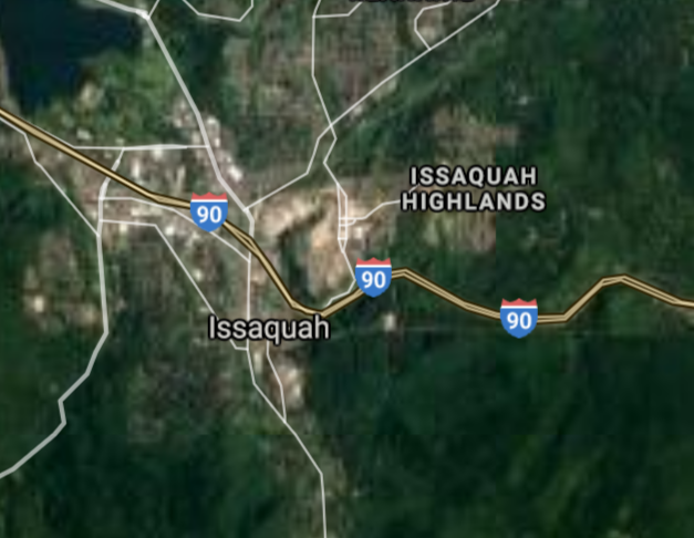
Issaquah [*elevation ceiling = 40km]Elevation: 33m (Group 255)
UR-100N (SLBM) |
Point A: 46.138168 00
Point B: 47.530101 00(300kt)
Point C: 47.423460 00
Point D: 48.420111 00
Point E: 47.235654 00
Point F: 46.064581 00
|
Point A: -122.938167 00
Point B: -122.032619 00(300kt)
Point C: -120.310349 00
Point D: -122.337454 00
Point E: -122.550404 00
Point F: -118.343021 00
|
|
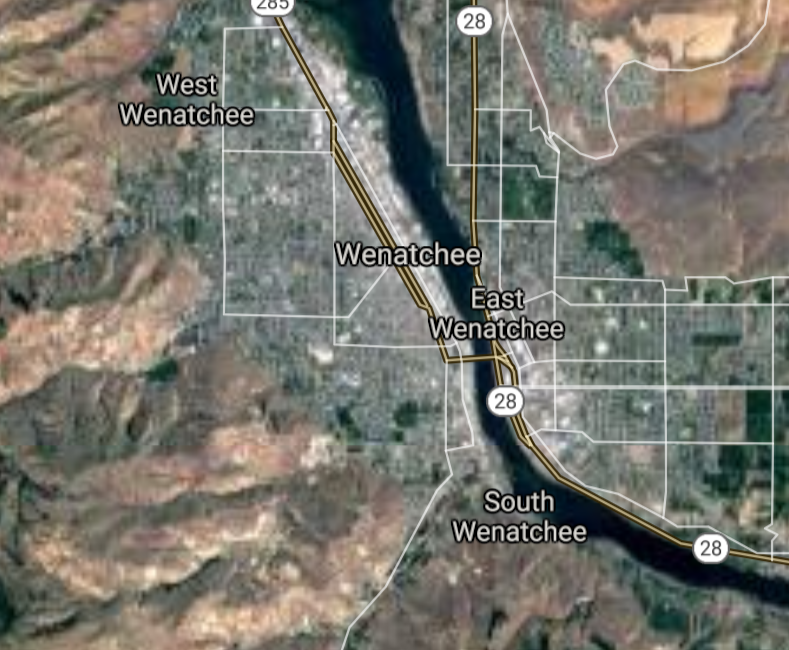
Wenatchee [*elevation ceiling = 40km]Elevation: 204m (Group 255)
UR-100N (SLBM) |
Point A: 46.138168 00
Point B: 47.530101 00
Point C: 47.423460 00(300kt)
Point D: 48.420111 00
Point E: 47.235654 00
Point F: 46.064581 00
|
Point A: -122.938167 00
Point B: -122.032619 00
Point C: -120.310349 00(300kt)
Point D: -122.337454 00
Point E: -122.550404 00
Point F: -118.343021 00
|
|
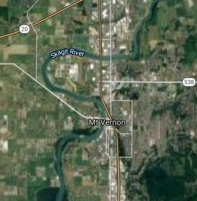
Mount Vernon [*elevation ceiling = 40km]Elevation: 8m (Group 255)
UR-100N (SLBM) |
Point A: 46.138168 00
Point B: 47.530101 00
Point C: 47.423460 00
Point D: 48.420111 00(300kt)
Point E: 47.235654 00
Point F: 46.064581 00
|
Point A: -122.938167 00
Point B: -122.032619 00
Point C: -120.310349 00
Point D: -122.337454 00(300kt)
Point E: -122.550404 00
Point F: -118.343021 00
|
|
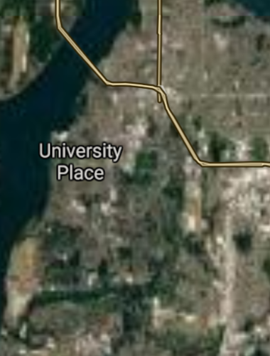
University Place [*elevation ceiling = 40km]Elevation: 61m (Group 255)
UR-100N (SLBM) |
Point A: 46.138168 00
Point B: 47.530101 00
Point C: 47.423460 00
Point D: 48.420111 00
Point E: 47.235654 00(300kt)
Point F: 46.064581 00
|
Point A: -122.938167 00
Point B: -122.032619 00
Point C: -120.310349 00
Point D: -122.337454 00
Point E: -122.550404 00(300kt)
Point F: -118.343021 00
|
|
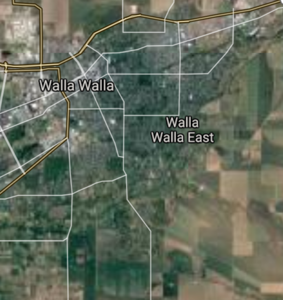
Walla Walla [*elevation ceiling = 40km]Elevation: 287m (Group 255)
UR-100N (SLBM) |
Point A: 46.138168 00
Point B: 47.530101 00
Point C: 47.423460 00
Point D: 48.420111 00
Point E: 47.235654 00
Point F: 46.064581 00(300kt)
|
Point A: -122.938167 00
Point B: -122.032619 00
Point C: -120.310349 00
Point D: -122.337454 00
Point E: -122.550404 00
Point F: -118.343021 00(300kt)
|
|
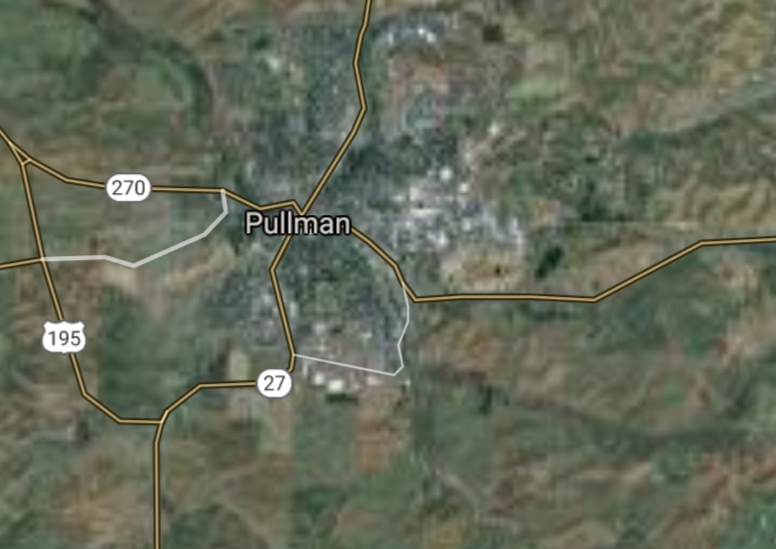
Pullman [*elevation ceiling = 40km]Elevation: 716m (Group 256)
UR-100N (SLBM) |
Point A: 46.729777 00(300kt)
Point B: 47.401766 00
Point C: 48.015098 00
Point D: 47.443590 00
Point E: 47.373348 00
Point F: 47.570655 00
|
Point A: -117.181738 00(300kt)
Point B: -122.324290 00
Point C: -122.063742 00
Point D: -122.296073 00
Point E: -122.036924 00
Point F: -122.222067 00
|
|
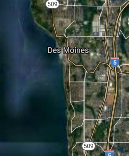
Des Moines [*elevation ceiling = 40km]Elevation: 26m (Group 256)
UR-100N (SLBM) |
Point A: 46.729777 00
Point B: 47.401766 00(300kt)
Point C: 48.015098 00
Point D: 47.443590 00
Point E: 47.373348 00
Point F: 47.570655 00
|
Point A: -117.181738 00
Point B: -122.324290 00(300kt)
Point C: -122.063742 00
Point D: -122.296073 00
Point E: -122.036924 00
Point F: -122.222067 00
|
|
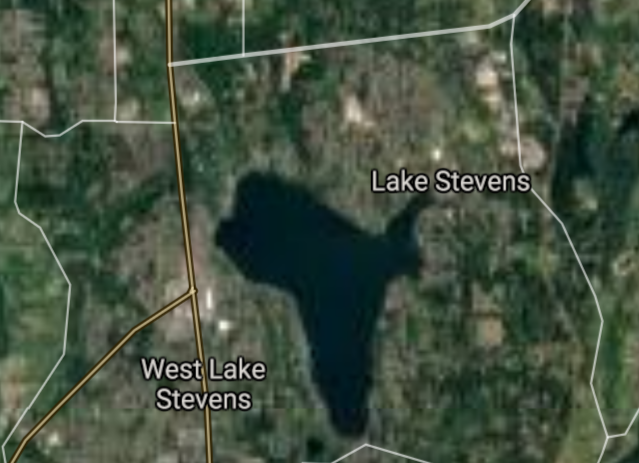
Lake Stevens [*elevation ceiling = 40km]Elevation: 67m (Group 256)
UR-100N (SLBM) |
Point A: 46.729777 00
Point B: 47.401766 00
Point C: 48.015098 00(300kt)
Point D: 47.443590 00
Point E: 47.373348 00
Point F: 47.570655 00
|
Point A: -117.181738 00
Point B: -122.324290 00
Point C: -122.063742 00(300kt)
Point D: -122.296073 00
Point E: -122.036924 00
Point F: -122.222067 00
|
|
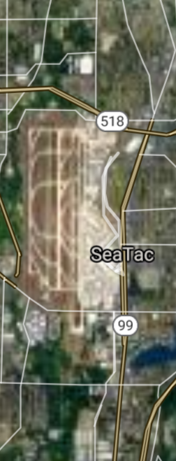
SeaTac [*elevation ceiling = 40km]Elevation: 109m (Group 256)
UR-100N (SLBM) |
Point A: 46.729777 00
Point B: 47.401766 00
Point C: 48.015098 00
Point D: 47.443590 00(300kt)
Point E: 47.373348 00
Point F: 47.570655 00
|
Point A: -117.181738 00
Point B: -122.324290 00
Point C: -122.063742 00
Point D: -122.296073 00(300kt)
Point E: -122.036924 00
Point F: -122.222067 00
|
|
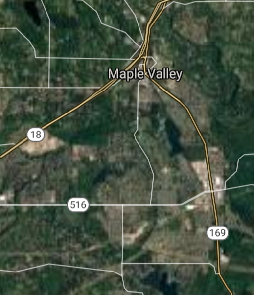
Maple Valley [*elevation ceiling = 40km]Elevation: 142m (Group 256)
UR-100N (SLBM) |
Point A: 46.729777 00
Point B: 47.401766 00
Point C: 48.015098 00
Point D: 47.443590 00
Point E: 47.373348 00(300kt)
Point F: 47.570655 00
|
Point A: -117.181738 00
Point B: -122.324290 00
Point C: -122.063742 00
Point D: -122.296073 00
Point E: -122.036924 00(300kt)
Point F: -122.222067 00
|
|
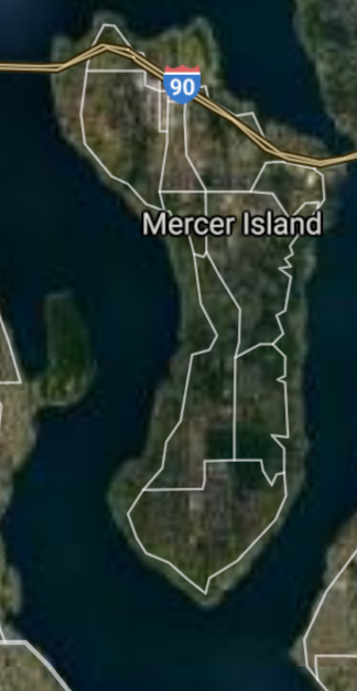
Mercer Island [*elevation ceiling = 40km]Elevation: 103m (Group 256)
UR-100N (SLBM) |
Point A: 46.729777 00
Point B: 47.401766 00
Point C: 48.015098 00
Point D: 47.443590 00
Point E: 47.373348 00
Point F: 47.570655 00(300kt)
|
Point A: -117.181738 00
Point B: -122.324290 00
Point C: -122.063742 00
Point D: -122.296073 00
Point E: -122.036924 00
Point F: -122.222067 00(300kt)
|
|
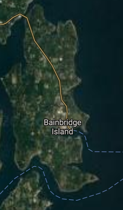
Bainbridge Island [*elevation ceiling = 40km]Elevation: 21m (Group 257)
UR-100N (SLBM) |
Point A: 47.624879 00(300kt)
Point B: 48.288295 00
Point C: 47.758358 00
Point D: 47.130142 00
Point E: 45.587467 00
Point F: 47.944540 00
|
Point A: -122.521001 00(300kt)
Point B: -122.648420 00
Point C: -122.249686 00
Point D: -119.278077 00
Point E: -122.404504 00
Point F: -122.304581 00
|
|
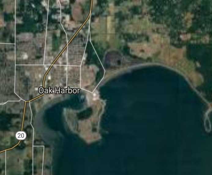
Oak Harbor [*elevation ceiling = 40km]Elevation: 8m (Group 257)
UR-100N (SLBM) |
Point A: 47.624879 00
Point B: 48.288295 00(300kt)
Point C: 47.758358 00
Point D: 47.130142 00
Point E: 45.587467 00
Point F: 47.944540 00
|
Point A: -122.521001 00
Point B: -122.648420 00(300kt)
Point C: -122.249686 00
Point D: -119.278077 00
Point E: -122.404504 00
Point F: -122.304581 00
|
|
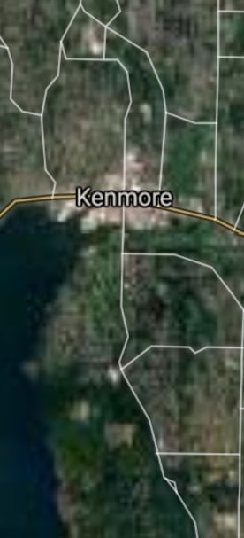
Kenmore [*elevation ceiling = 40km]Elevation: 9m (Group 257)
UR-100N (SLBM) |
Point A: 47.624879 00
Point B: 48.288295 00
Point C: 47.758358 00(300kt)
Point D: 47.130142 00
Point E: 45.587467 00
Point F: 47.944540 00
|
Point A: -122.521001 00
Point B: -122.648420 00
Point C: -122.249686 00(300kt)
Point D: -119.278077 00
Point E: -122.404504 00
Point F: -122.304581 00
|
|
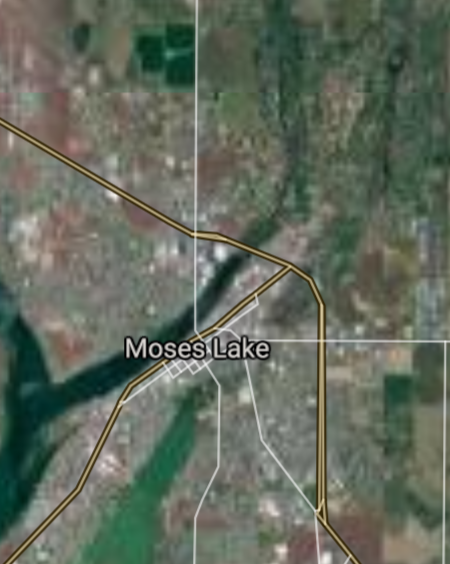
Moses Lake [*elevation ceiling = 40km]Elevation: 324m (Group 257)
UR-100N (SLBM) |
Point A: 47.624879 00
Point B: 48.288295 00
Point C: 47.758358 00
Point D: 47.130142 00(300kt)
Point E: 45.587467 00
Point F: 47.944540 00
|
Point A: -122.521001 00
Point B: -122.648420 00
Point C: -122.249686 00
Point D: -119.278077 00(300kt)
Point E: -122.404504 00
Point F: -122.304581 00
|
|
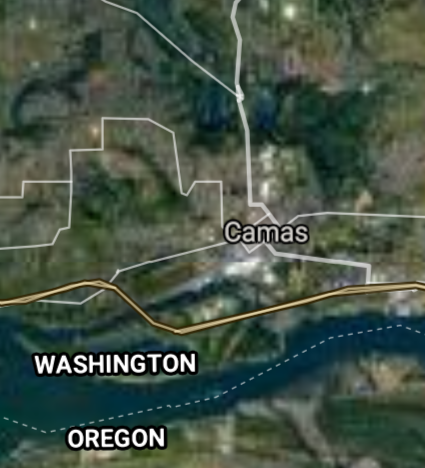
Camas [*elevation ceiling = 40km]Elevation: 27m (Group 257)
UR-100N (SLBM) |
Point A: 47.624879 00
Point B: 48.288295 00
Point C: 47.758358 00
Point D: 47.130142 00
Point E: 45.587467 00(300kt)
Point F: 47.944540 00
|
Point A: -122.521001 00
Point B: -122.648420 00
Point C: -122.249686 00
Point D: -119.278077 00
Point E: -122.404504 00(300kt)
Point F: -122.304581 00
|
|
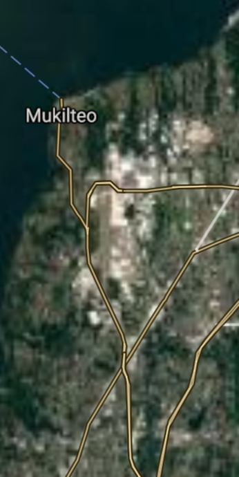
Mukilteo [*elevation ceiling = 40km]Elevation: 33m (Group 257)
UR-100N (SLBM) |
Point A: 47.624879 00
Point B: 48.288295 00
Point C: 47.758358 00
Point D: 47.130142 00
Point E: 45.587467 00
Point F: 47.944540 00(300kt)
|
Point A: -122.521001 00
Point B: -122.648420 00
Point C: -122.249686 00
Point D: -119.278077 00
Point E: -122.404504 00
Point F: -122.304581 00(300kt)
|
[Top]
Open START Drills: Central Basin
![]()
![]()
![]()
![]()
![]()
![]()
![]()
![]()
![]()
JanuaryFebruaryMarchAprilJuneJulySeptemberOctoberDecember |
2024
|
|

JanuaryFebruaryJuneJulyAugustOctoberNovemberDecember |
2024
|
|

JanuaryFebruaryJuneJulySeptemberOctoberNovemberDecember |
2024
|
|
