


|
 Hollywood, JSC
Mendocino, JSC
LA SOCIETY
SF SOCIETY
NY SOCIETY
Open START Drills
Hollywood, JSC
Mendocino, JSC
LA SOCIETY
SF SOCIETY
NY SOCIETY
Open START Drills
 Talk Daily Commodities Review LATPACT Open Market Equities Report Currency Central
 Insider: Situation US
 |

|

|

|
 |
SOCIETY Trust Fund LATPACT Trust Fund LATPACT Open Market Far West (SEZ) Trust RIM of Nations Trust
Arctic Pact Trade Zone | Upper Rhine Zone | Lower Rhine Zone | Middle Rhone Basin
| Level 2 - Open START/*Super Grid |
| Level 3 - Stellar Fields |


Climate Central News & Information
 "US attempts to salvage the European Order with an Oceania based clan-style coalition"
Population Conversations: 2,079,137
Planet Power Seconds
 Glance at NATO
 In early 2018, UNITED STATES ARMY COMMANDER, GENERAL CURTIS M. SCAPARROTTI delivered the posture statement for NATO. He stated, "As our most significant trading partner, Europe is vital to promoting American prosperity. With shared history and values, Europe is also a critical partner in advancing American influence throughout the world. The North Atlantic Treaty Organization (NATO) enables us to preserve peace through strength as alliance unity fundamentally deters the aggression of potential adversaries."
Moreover, General Scaparrotti said, "Russia continues to destabilize regional security and disregard international norms, which have preserved the peace in Europe since 1945. Russia seeks to change the international order, fracture NATO, and undermine U.S. leadership in order to protect its regime, re-assert dominance over its neighbors, and achieve greater influence around the globe. To achieve these ends, the Kremlin is prepared to employ the full spectrum of Russia’s power, to include forcefully using its increasingly capable military."
United Nations Command: AUKUSA/Quad 4
 Extensively, the Central Basin is transforming international security while disabling NATO, AUKUSA and the Quad 4 military alliances with the Open START Hawaii and Open START Alaska drills. Inherently, the Central Basin fleet suppresses the UN Command over security backlogs as the Global South impedes expansion for the Japanese yen. Economically, the US dollar bounds NATO, AUKUSA and the Quad 4 alliances under one entity in the wake of the 2007 housing crises, COVID-19 recovery and war in Ukraine. Generously, the Upper Rhine pass bridges the Open START Hawaii and Open START Alaska drills which stabilize international and climate security. Uniquely, Open START drills for the Upper Rhine pass pegs the value of the Japanese yen and Korean Won to the Chinese yuan, Indian rupee, Russian ruble, and Mexican peso to enable economic transformation for the Central Basin region. Effectively, the Open START drill secures the yen in cooperation with the Global South as significant growth on the New Silk Road Economic Belt extends in Africa. Suitably, the Open START drill baffles the UN Command with the Upper Rhine pass as the historical value is at stake. Judiciously, the Open START drill isolates the UN Command over Level 1 protocol which underpins NATO, AUKUSA and the Quad 4 military alliances to Celtic Briton tribes.
The OSCE and NATO: From the Arctic Circle
 Historically, military conflicts include land navigation rivalry which is significant for the Lower Rhine corridor as tensions between the Eastern and Western hemisphere ignite over political testimony. Substantially, the US has interspersed armed forces in the EU with the connivance of NATO and the OSCE to subjugate the Arctic Circle and dominate international trade from the Middle East. Tacitly, the OSCE is equipped to engineer early warnings, conflict resolution and crisis management over military tensions with NATO to inseminate the world order of law and justice. Decisively, the Open START Iceland drill unify the corners of the world to combat the historical West from the Arctic Circle over climate security, war crimes and crimes against humanity. Particularly, normalized ties to Israel for the Lower Rhine corridor weighs over rising Eastern influence from the Near East which is a major factor in the Open START Iceland drill. Efficiently, the Open START Iceland drill balances political, economic and military parity between the historical East and West which is threatened from the incumbency of trade sanctions and escalating military tensions in the West.
*Schedule of Nuclear Attack
Be advised: The specific plan of attack for Utah is sensitive and will be posted here closer to its scheduled strike.
Utah
AL* | AZ* | AR* | CO | CT | DE | FL | GA | ID | IN | IA | KS | KY | LA | ME | MD
MA | MI | MN | MO | MT | NE | NV | NH | NJ | NM | NY | NC | ND | OH | OK | OR | PA | RI | SC
SD | TN | TX | UT | VA (DC)** | VT** | WA** | WV** | WI** | WY**
*Central Fleet South  Bulava + RT23 Cadet + Vysota3
Team: Memphis Fire (Local Area Control)
**Central Fleet North Bulava + Surya + Vysota3
Open START (RKS) |
Groups V49 - V56 | *300kt | Millineum Power *4,000 MW
Level 1 - WA Dong (SIT.2) 
Utah |
Latitude Coordinate |
Longitude Coordinate |
|
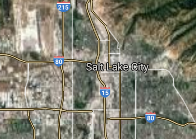
Salt Lake City [*elevation ceiling = 40km]Elevation: 1300m (Group 49)
Vysota-3 (SLBM) |
Point A: 40.760779 00(1650t)
Point B: 40.691613 00
Point C: 40.233844 00
Point D: 40.609670 00
Point E: 40.296898 00
Point F: 40.564978 00
Open START Passages |
Point A: -111.891047 00(1650t)
Point B: -112.001050 00
Point C: -111.658534 00
Point D: -111.939103 00
Point E: -111.694647 00
Point F: -111.838973 00
Demonstration |
|
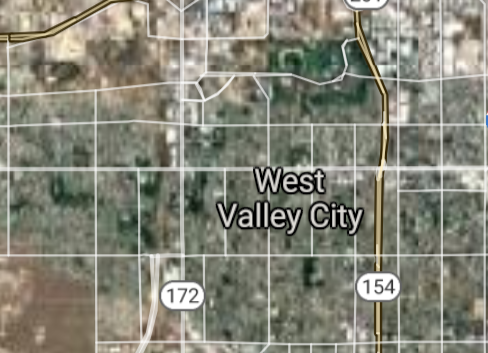
West Valley City [*elevation ceiling = 40km]Elevation: 1313m (Group 49)
Vysota-3 (SLBM) |
Point A: 40.760779 00
Point B: 40.691613 00(1650t)
Point C: 40.233844 00
Point D: 40.609670 00
Point E: 40.296898 00
Point F: 40.564978 00
|
Point A: -111.891047 00
Point B: -112.001050 00(1650t)
Point C: -111.658534 00
Point D: -111.939103 00
Point E: -111.694647 00
Point F: -111.838973 00
|
|
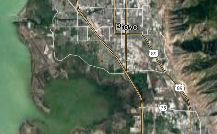
Provo [*elevation ceiling = 40km]Elevation: 1387m (Group 49)
Vysota-3 (SLBM) |
Point A: 40.760779 00
Point B: 40.691613 00
Point C: 40.233844 00(1650t)
Point D: 40.609670 00
Point E: 40.296898 00
Point F: 40.564978 00
|
Point A: -111.891047 00
Point B: -112.001050 00
Point C: -111.658534 00(1650t)
Point D: -111.939103 00
Point E: -111.694647 00
Point F: -111.838973 00
|
|
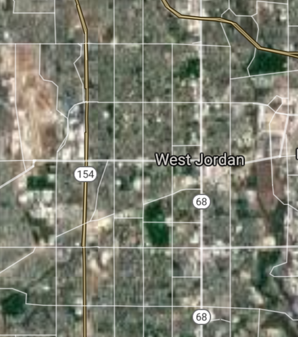
West Jordan [*elevation ceiling = 40km]Elevation: 1334m (Group 49)
Vysota-3 (SLBM) |
Point A: 40.760779 00
Point B: 40.691613 00
Point C: 40.233844 00
Point D: 40.609670 00(1650t)
Point E: 40.296898 00
Point F: 40.564978 00
|
Point A: -111.891047 00
Point B: -112.001050 00
Point C: -111.658534 00
Point D: -111.939103 00(1650t)
Point E: -111.694647 00
Point F: -111.838973 00
|
|
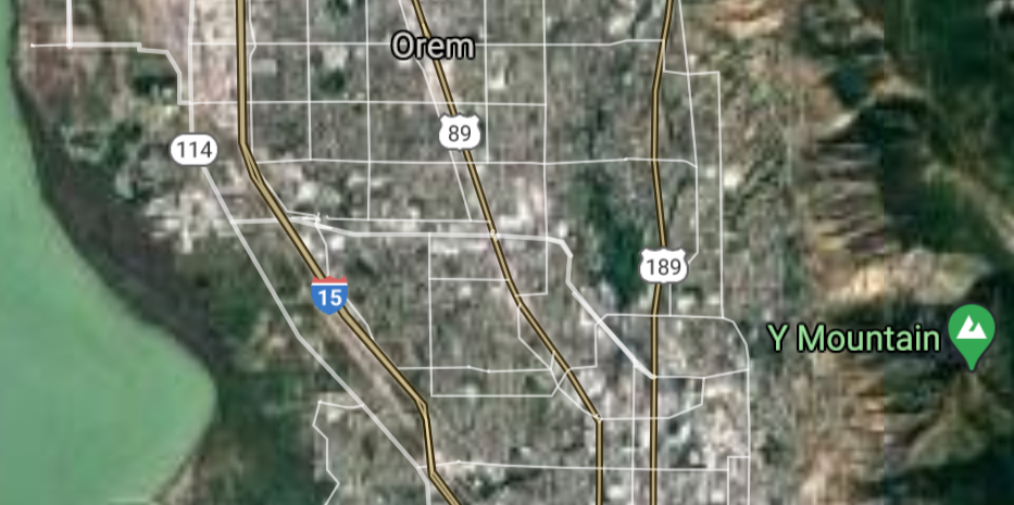
Orem [*elevation ceiling = 40km]Elevation: 1452m (Group 49)
Vysota-3 (SLBM) |
Point A: 40.760779 00
Point B: 40.691613 00
Point C: 40.233844 00
Point D: 40.609670 00
Point E: 40.296898 00(1650t)
Point F: 40.564978 00
|
Point A: -111.891047 00
Point B: -112.001050 00
Point C: -111.658534 00
Point D: -111.939103 00
Point E: -111.694647 00(1650t)
Point F: -111.838973 00
|
|
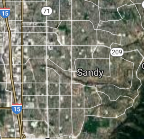
Sandy [*elevation ceiling = 40km]Elevation: 1470m (Group 49)
Vysota-3 (SLBM) |
Point A: 40.760779 00
Point B: 40.691613 00
Point C: 40.233844 00
Point D: 40.609670 00
Point E: 40.296898 00
Point F: 40.564978 00(1650t)
|
Point A: -111.891047 00
Point B: -112.001050 00
Point C: -111.658534 00
Point D: -111.939103 00
Point E: -111.694647 00
Point F: -111.838973 00(1650t)
|
|
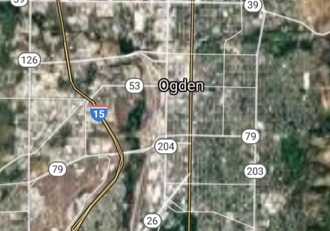
Ogden [*elevation ceiling = 40km]Elevation: 1311m (Group 50)
Vysota-3 (SLBM) |
Point A: 41.223000 00(1650t)
Point B: 37.096528 00
Point C: 41.060222 00
Point D: 40.686891 00
Point E: 40.667725 00
Point F: 40.562170 00
|
Point A: -111.973830 00(1650t)
Point B: -113.568416 00
Point C: -111.971053 00
Point D: -111.875491 00
Point E: -111.938826 00
Point F: -111.929658 00
|
|
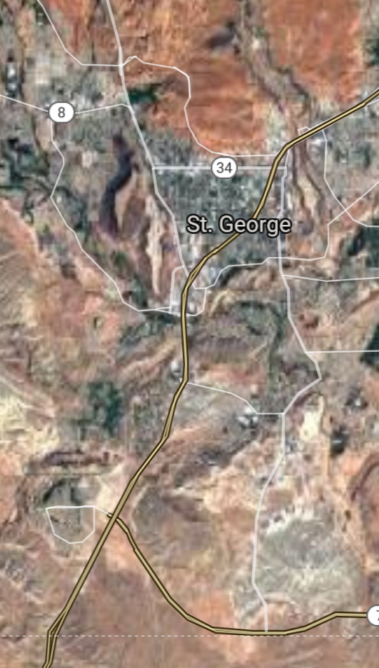
St. George [*elevation ceiling = 40km]Elevation: 800m (Group 50)
Vysota-3 (SLBM) |
Point A: 41.223000 00
Point B: 37.096528 00(1650t)
Point C: 41.060222 00
Point D: 40.686891 00
Point E: 40.667725 00
Point F: 40.562170 00
|
Point A: -111.973830 00
Point B: -113.568416 00(1650t)
Point C: -111.971053 00
Point D: -111.875491 00
Point E: -111.938826 00
Point F: -111.929658 00
|
|
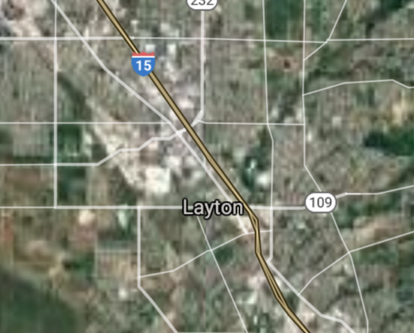
Layton [*elevation ceiling = 40km]Elevation: 1325m (Group 50)
Vysota-3 (SLBM) |
Point A: 41.223000 00
Point B: 37.096528 00
Point C: 41.060222 00(1650t)
Point D: 40.686891 00
Point E: 40.667725 00
Point F: 40.562170 00
|
Point A: -111.973830 00
Point B: -113.568416 00
Point C: -111.971053 00(1650t)
Point D: -111.875491 00
Point E: -111.938826 00
Point F: -111.929658 00
|
|
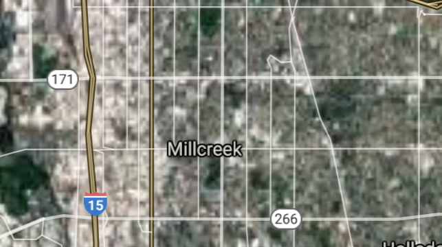
Millcreek [*elevation ceiling = 40km]Elevation: 1306m (Group 50)
Vysota-3 (SLBM) |
Point A: 41.223000 00
Point B: 37.096528 00
Point C: 41.060222 00
Point D: 40.686891 00(1650t)
Point E: 40.667725 00
Point F: 40.562170 00
|
Point A: -111.973830 00
Point B: -113.568416 00
Point C: -111.971053 00
Point D: -111.875491 00(1650t)
Point E: -111.938826 00
Point F: -111.929658 00
|
|
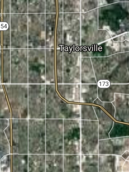
Taylorsville [*elevation ceiling = 40km]Elevation: 1311m (Group 50)
Vysota-3 (SLBM) |
Point A: 41.223000 00
Point B: 37.096528 00
Point C: 41.060222 00
Point D: 40.686891 00
Point E: 40.667725 00(1650t)
Point F: 40.562170 00
|
Point A: -111.973830 00
Point B: -113.568416 00
Point C: -111.971053 00
Point D: -111.875491 00
Point E: -111.938826 00(1650t)
Point F: -111.929658 00
|
|
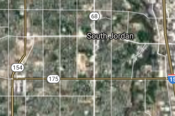
South Jordan [*elevation ceiling = 40km]Elevation: 1354m (Group 50)
Vysota-3 (SLBM) |
Point A: 41.223000 00
Point B: 37.096528 00
Point C: 41.060222 00
Point D: 40.686891 00
Point E: 40.667725 00
Point F: 40.562170 00(1650t)
|
Point A: -111.973830 00
Point B: -113.568416 00
Point C: -111.971053 00
Point D: -111.875491 00
Point E: -111.938826 00
Point F: -111.929658 00(1650t)
|
|
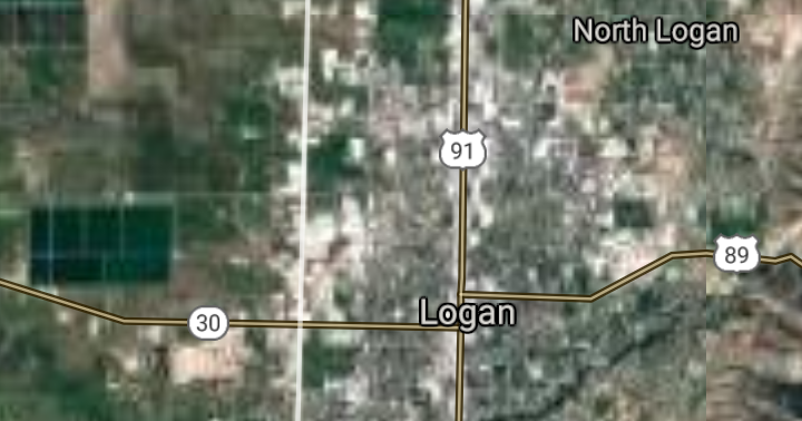
Logan [*elevation ceiling = 40km]Elevation: 1380m (Group 51)
Vysota-3 (SLBM) |
Point A: 41.736980 00(1650t)
Point B: 40.391617 00
Point C: 40.666892 00
Point D: 40.889390 00
Point E: 40.524671 00
Point F: 40.521893 00
|
Point A: -111.833836 00(1650t)
Point B: -111.850766 00
Point C: -111.887991 00
Point D: -111.880771 00
Point E: -111.863823 00
Point F: -111.939102 00
|
|
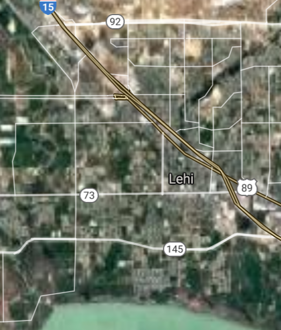
Lehi [*elevation ceiling = 40km]Elevation: 1391m (Group 51)
Vysota-3 (SLBM) |
Point A: 41.736980 00
Point B: 40.391617 00(1650t)
Point C: 40.666892 00
Point D: 40.889390 00
Point E: 40.524671 00
Point F: 40.521893 00
|
Point A: -111.833836 00
Point B: -111.850766 00(1650t)
Point C: -111.887991 00
Point D: -111.880771 00
Point E: -111.863823 00
Point F: -111.939102 00
|
|
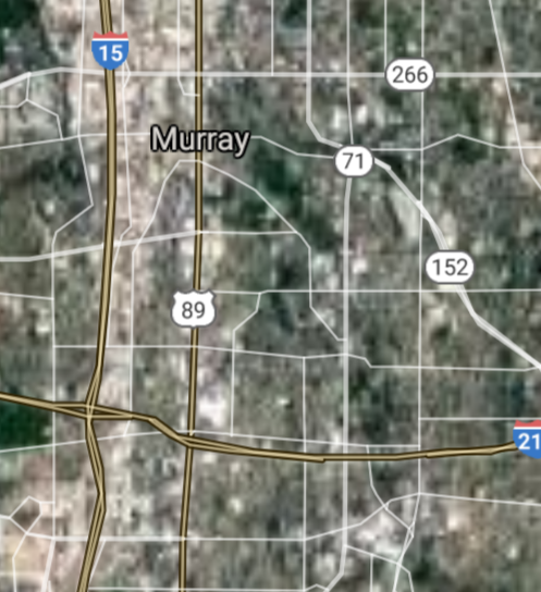
Murray [*elevation ceiling = 40km]Elevation: 1312m (Group 51)
Vysota-3 (SLBM) |
Point A: 41.736980 00
Point B: 40.391617 00
Point C: 40.666892 00(1650t)
Point D: 40.889390 00
Point E: 40.524671 00
Point F: 40.521893 00
|
Point A: -111.833836 00
Point B: -111.850766 00
Point C: -111.887991 00(1650t)
Point D: -111.880771 00
Point E: -111.863823 00
Point F: -111.939102 00
|
|
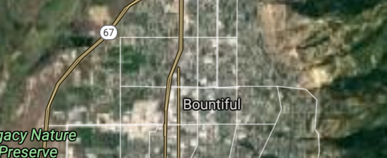
Bountiful [*elevation ceiling = 40km]Elevation: 1333m (Group 51)
Vysota-3 (SLBM) |
Point A: 41.736980 00
Point B: 40.391617 00
Point C: 40.666892 00
Point D: 40.889390 00(1650t)
Point E: 40.524671 00
Point F: 40.521893 00
|
Point A: -111.833836 00
Point B: -111.850766 00
Point C: -111.887991 00
Point D: -111.880771 00(1650t)
Point E: -111.863823 00
Point F: -111.939102 00
|
|
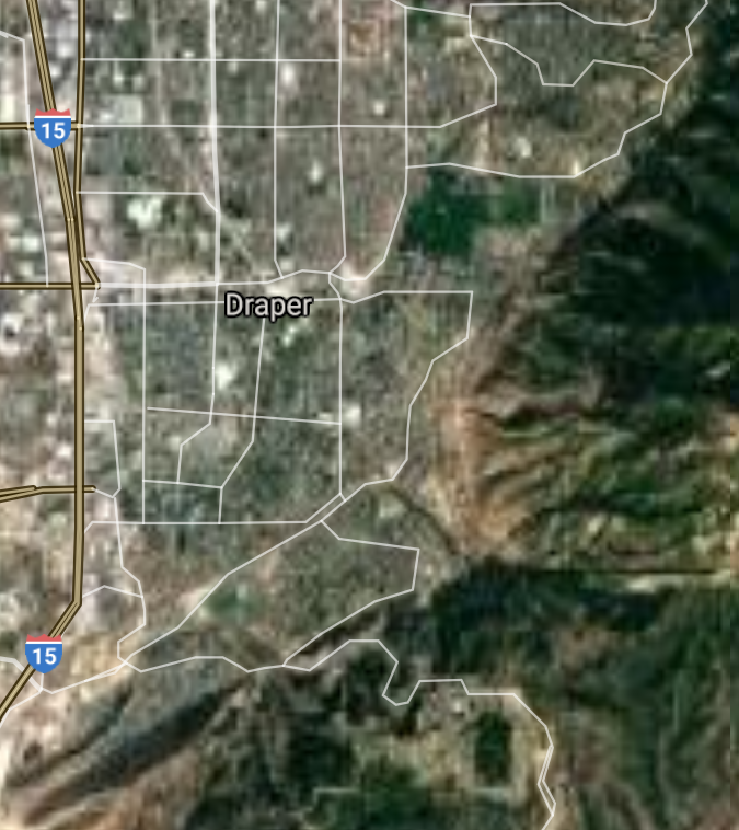
Draper [*elevation ceiling = 40km]Elevation: 1372m (Group 51)
Vysota-3 (SLBM) |
Point A: 41.736980 00
Point B: 40.391617 00
Point C: 40.666892 00
Point D: 40.889390 00
Point E: 40.524671 00(1650t)
Point F: 40.521893 00
|
Point A: -111.833836 00
Point B: -111.850766 00
Point C: -111.887991 00
Point D: -111.880771 00
Point E: -111.863823 00(1650t)
Point F: -111.939102 00
|
|
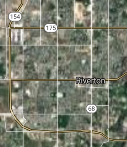
Riverton [*elevation ceiling = 40km]Elevation: 1353m (Group 51)
Vysota-3 (SLBM) |
Point A: 41.736980 00
Point B: 40.391617 00
Point C: 40.666892 00
Point D: 40.889390 00
Point E: 40.524671 00
Point F: 40.521893 00(1650t)
|
Point A: -111.833836 00
Point B: -111.850766 00
Point C: -111.887991 00
Point D: -111.880771 00
Point E: -111.863823 00
Point F: -111.939102 00(1650t)
|
|
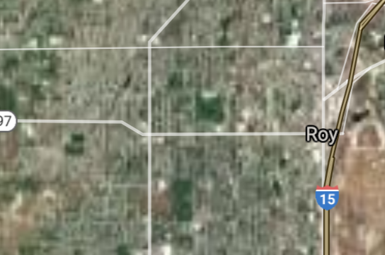
Roy [*elevation ceiling = 40km]Elevation: 1383m (Group 52)
Vysota-3 (SLBM) |
Point A: 41.161611 00(1650t)
Point B: 40.114955 00
Point C: 40.364118 00
Point D: 40.618316 00
Point E: 40.530778 00
Point F: 40.165234 00
|
Point A: -112.026331 00(1650t)
Point B: -111.654923 00
Point C: -111.738540 00
Point D: -111.816293 00
Point E: -112.298280 00
Point F: -111.610753 00
|
|
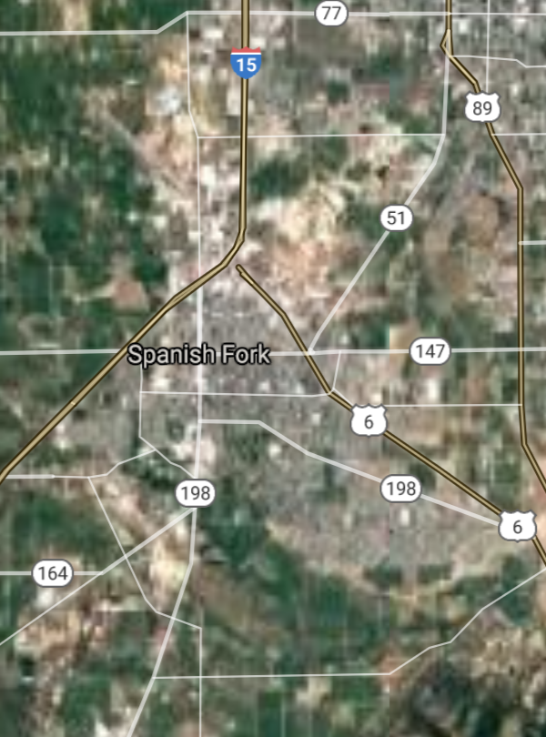
Spanish Fork [*elevation ceiling = 40km]Elevation: 1394m (Group 52)
Vysota-3 (SLBM) |
Point A: 41.161611 00
Point B: 40.114955 00(1650t)
Point C: 40.364118 00
Point D: 40.618316 00
Point E: 40.530778 00
Point F: 40.165234 00
|
Point A: -112.026331 00
Point B: -111.654923 00(1650t)
Point C: -111.738540 00
Point D: -111.816293 00
Point E: -112.298280 00
Point F: -111.610753 00
|
|
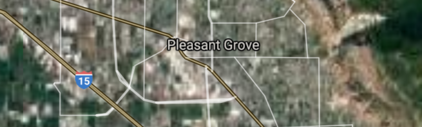
Pleasant Grove [*elevation ceiling = 40km]Elevation: 1412m (Group 52)
Vysota-3 (SLBM) |
Point A: 41.161611 00
Point B: 40.114955 00
Point C: 40.364118 00(1650t)
Point D: 40.618316 00
Point E: 40.530778 00
Point F: 40.165234 00
|
Point A: -112.026331 00
Point B: -111.654923 00
Point C: -111.738540 00(1650t)
Point D: -111.816293 00
Point E: -112.298280 00
Point F: -111.610753 00
|
|
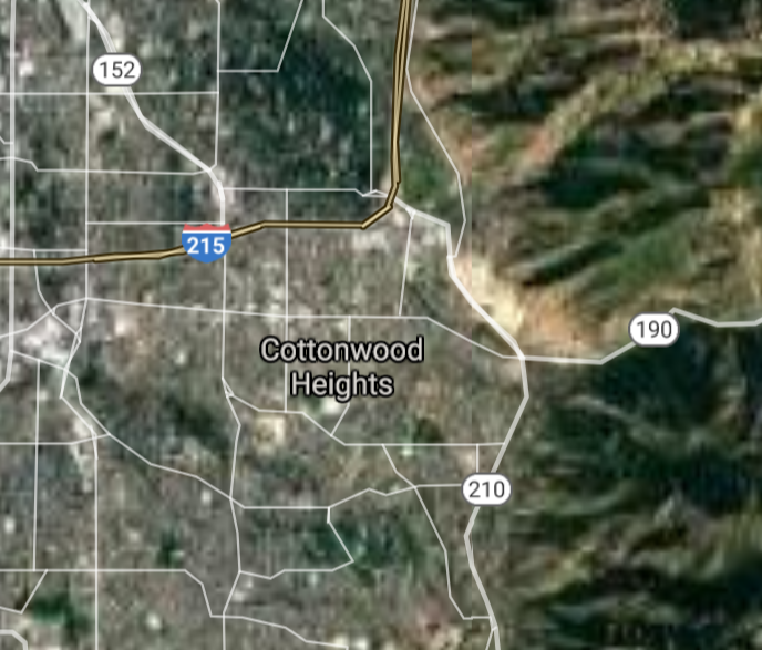
Cottonwood Heights [*elevation ceiling = 40km]Elevation: 1461m (Group 52)
Vysota-3 (SLBM) |
Point A: 41.161611 00
Point B: 40.114955 00
Point C: 40.364118 00
Point D: 40.618316 00(1650t)
Point E: 40.530778 00
Point F: 40.165234 00
|
Point A: -112.026331 00
Point B: -111.654923 00
Point C: -111.738540 00
Point D: -111.816293 00(1650t)
Point E: -112.298280 00
Point F: -111.610753 00
|
|
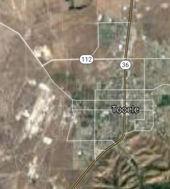
Tooele [*elevation ceiling = 40km]Elevation: 1537m (Group 52)
Vysota-3 (SLBM) |
Point A: 41.161611 00
Point B: 40.114955 00
Point C: 40.364118 00
Point D: 40.618316 00
Point E: 40.530778 00(1650t)
Point F: 40.165234 00
|
Point A: -112.026331 00
Point B: -111.654923 00
Point C: -111.738540 00
Point D: -111.816293 00
Point E: -112.298280 00(1650t)
Point F: -111.610753 00
|
|
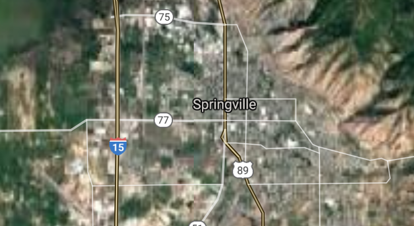
Springville [*elevation ceiling = 40km]Elevation: 1394m (Group 52)
Vysota-3 (SLBM) |
Point A: 41.161611 00
Point B: 40.114955 00
Point C: 40.364118 00
Point D: 40.618316 00
Point E: 40.530778 00
Point F: 40.165234 00(1650t)
|
Point A: -112.026331 00
Point B: -111.654923 00
Point C: -111.738540 00
Point D: -111.816293 00
Point E: -112.298280 00
Point F: -111.610753 00(1650t)
|
|
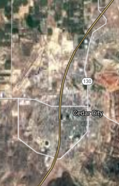
Cedar City [*elevation ceiling = 40km]Elevation: 1783m (Group 53)
Vysota-3 (SLBM) |
Point A: 37.677477 00(1650t)
Point B: 40.611059 00
Point C: 41.035222 00
Point D: 40.668836 00
Point E: 40.376895 00
Point F: 41.110777 00
|
Point A: -113.061893 00(1650t)
Point B: -111.899935 00
Point C: -111.938552 00
Point D: -111.824656 00
Point E: -111.795765 00
Point F: -112.026054 00
|
|
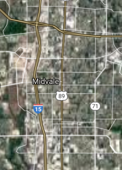
Midvale [*elevation ceiling = 40km]Elevation: 1336m (Group 53)
Vysota-3 (SLBM) |
Point A: 37.677477 00
Point B: 40.611059 00(1650t)
Point C: 41.035222 00
Point D: 40.668836 00
Point E: 40.376895 00
Point F: 41.110777 00
|
Point A: -113.061893 00
Point B: -111.899935 00(1650t)
Point C: -111.938552 00
Point D: -111.824656 00
Point E: -111.795765 00
Point F: -112.026054 00
|
|
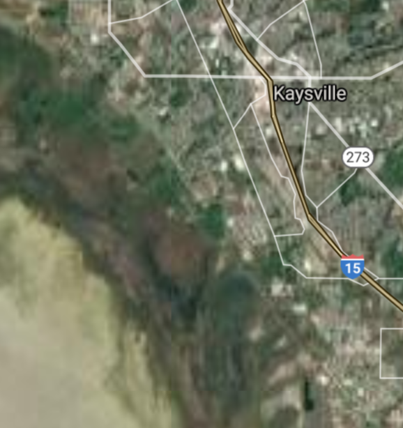
Kaysville [*elevation ceiling = 40km]Elevation: 1325m (Group 53)
Vysota-3 (SLBM) |
Point A: 37.677477 00
Point B: 40.611059 00
Point C: 41.035222 00(1650t)
Point D: 40.668836 00
Point E: 40.376895 00
Point F: 41.110777 00
|
Point A: -113.061893 00
Point B: -111.899935 00
Point C: -111.938552 00(1650t)
Point D: -111.824656 00
Point E: -111.795765 00
Point F: -112.026054 00
|
|
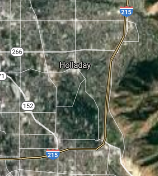
Holladay [*elevation ceiling = 40km]Elevation: 1361m (Group 53)
Vysota-3 (SLBM) |
Point A: 37.677477 00
Point B: 40.611059 00
Point C: 41.035222 00
Point D: 40.668836 00(1650t)
Point E: 40.376895 00
Point F: 41.110777 00
|
Point A: -113.061893 00
Point B: -111.899935 00
Point C: -111.938552 00
Point D: -111.824656 00(1650t)
Point E: -111.795765 00
Point F: -112.026054 00
|
|
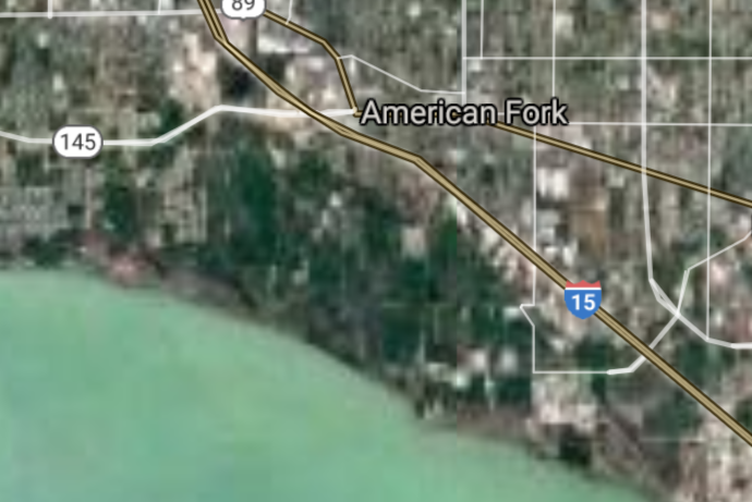
American Fork [*elevation ceiling = 40km]Elevation: 1402m (Group 53)
Vysota-3 (SLBM) |
Point A: 37.677477 00
Point B: 40.611059 00
Point C: 41.035222 00
Point D: 40.668836 00
Point E: 40.376895 00(1650t)
Point F: 41.110777 00
|
Point A: -113.061893 00
Point B: -111.899935 00
Point C: -111.938552 00
Point D: -111.824656 00
Point E: -111.795765 00(1650t)
Point F: -112.026054 00
|
|
Clearfield [*elevation ceiling = 40km]Elevation: 1362m (Group 53)
Vysota-3 (SLBM) |
Point A: 37.677477 00
Point B: 40.611059 00
Point C: 41.035222 00
Point D: 40.668836 00
Point E: 40.376895 00
Point F: 41.110777 00(1650t)
|
Point A: -113.061893 00
Point B: -111.899935 00
Point C: -111.938552 00
Point D: -111.824656 00
Point E: -111.795765 00
Point F: -112.026054 00(1650t)
|
|
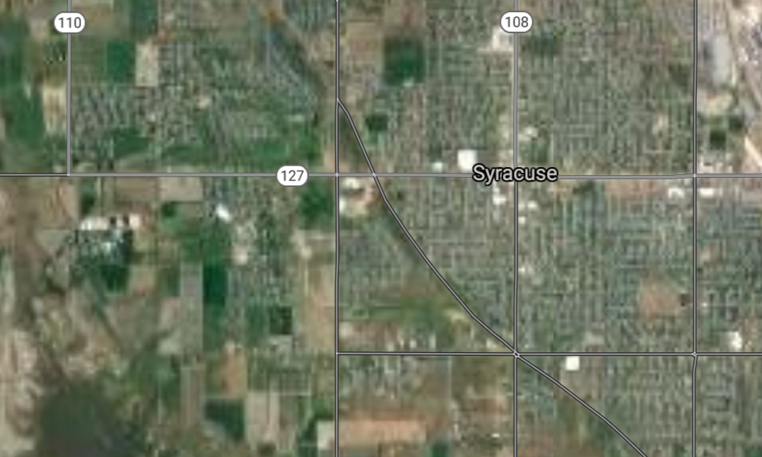
Syracuse [*elevation ceiling = 40km]Elevation: 1304m (Group 54)
Vysota-3 (SLBM) |
Point A: 41.089388 00(1650t)
Point B: 40.718835 00
Point C: 40.514115 00
Point D: 40.314117 00
Point E: 41.139666 00
Point F: 37.130537 00
|
Point A: -112.064666 00(1650t)
Point B: -111.888269 00
Point C: -112.032994 00
Point D: -112.006882 00
Point E: -112.050498 00
Point F: -113.508287 00
|
|
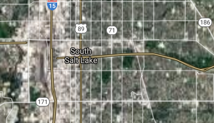
South Salt Lake [*elevation ceiling = 40km]Elevation: 1297m (Group 54)
Vysota-3 (SLBM) |
Point A: 41.089388 00
Point B: 40.718835 00(1650t)
Point C: 40.514115 00
Point D: 40.314117 00
Point E: 41.139666 00
Point F: 37.130537 00
|
Point A: -112.064666 00
Point B: -111.888269 00(1650t)
Point C: -112.032994 00
Point D: -112.006882 00
Point E: -112.050498 00
Point F: -113.508287 00
|
|
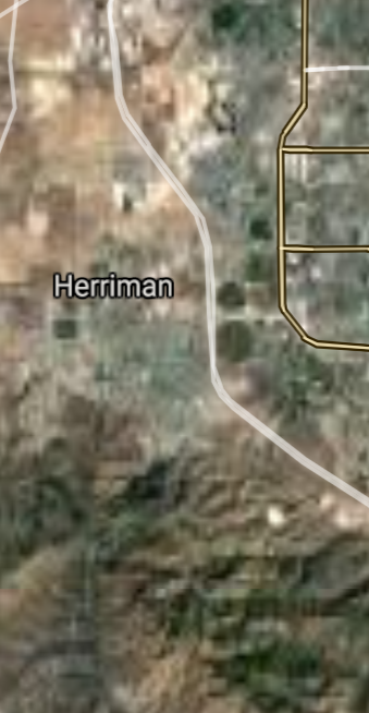
Herriman [*elevation ceiling = 40km]Elevation: 1508m (Group 54)
Vysota-3 (SLBM) |
Point A: 41.089388 00
Point B: 40.718835 00
Point C: 40.514115 00(1650t)
Point D: 40.314117 00
Point E: 41.139666 00
Point F: 37.130537 00
|
Point A: -112.064666 00
Point B: -111.888269 00
Point C: -112.032994 00(1650t)
Point D: -112.006882 00
Point E: -112.050498 00
Point F: -113.508287 00
|
|
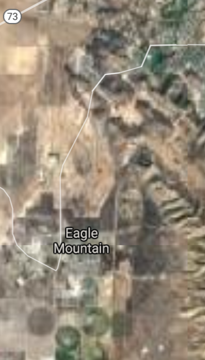
Eagle Mountain [*elevation ceiling = 40km]Elevation: 1490m (Group 54)
Vysota-3 (SLBM) |
Point A: 41.089388 00
Point B: 40.718835 00
Point C: 40.514115 00
Point D: 40.314117 00(1650t)
Point E: 41.139666 00
Point F: 37.130537 00
|
Point A: -112.064666 00
Point B: -111.888269 00
Point C: -112.032994 00
Point D: -112.006882 00(1650t)
Point E: -112.050498 00
Point F: -113.508287 00
|
|
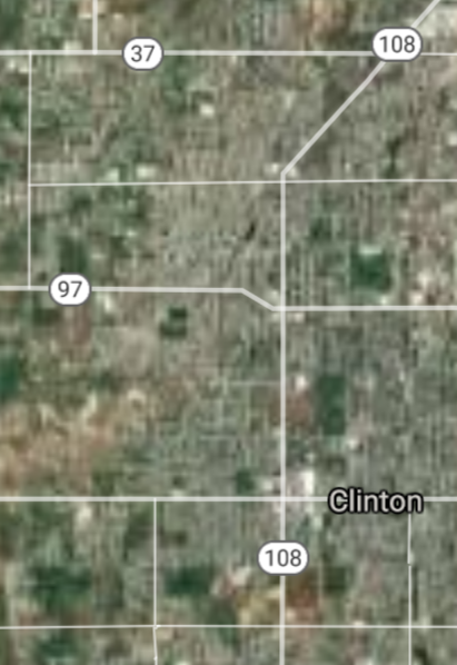
Clinton [*elevation ceiling = 40km]Elevation: 1338m (Group 54)
Vysota-3 (SLBM) |
Point A: 41.089388 00
Point B: 40.718835 00
Point C: 40.514115 00
Point D: 40.314117 00
Point E: 41.139666 00(1650t)
Point F: 37.130537 00
|
Point A: -112.064666 00
Point B: -111.888269 00
Point C: -112.032994 00
Point D: -112.006882 00
Point E: -112.050498 00(1650t)
Point F: -113.508287 00
|
|
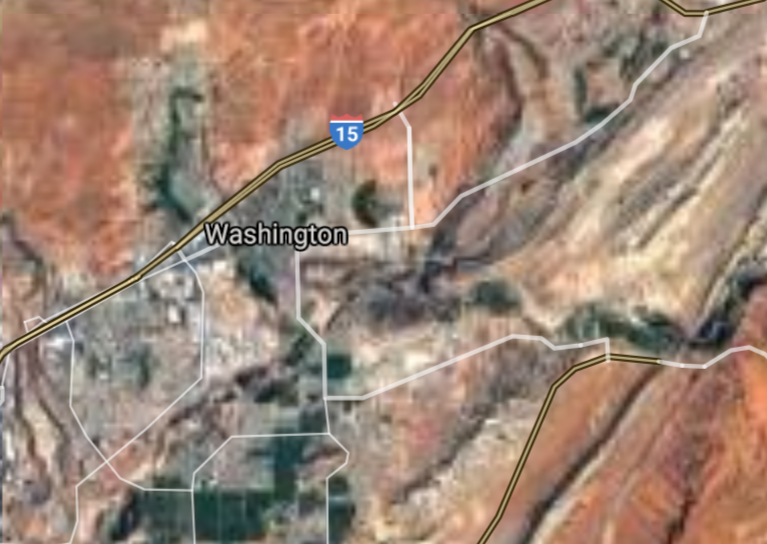
Washington [*elevation ceiling = 40km]Elevation: 850m (Group 54)
Vysota-3 (SLBM) |
Point A: 41.089388 00
Point B: 40.718835 00
Point C: 40.514115 00
Point D: 40.314117 00
Point E: 41.139666 00
Point F: 37.130537 00(1650t)
|
Point A: -112.064666 00
Point B: -111.888269 00
Point C: -112.032994 00
Point D: -112.006882 00
Point E: -112.050498 00
Point F: -113.508287 00(1650t)
|
|
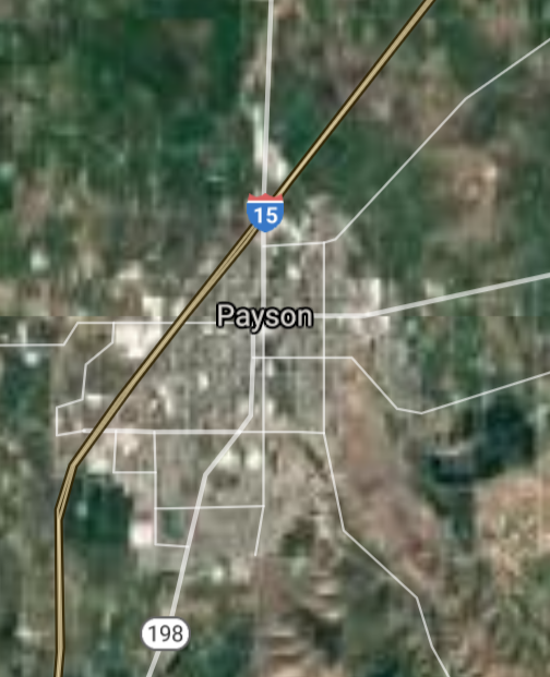
Payson [*elevation ceiling = 40km]Elevation: 1418m (Group 55)
Vysota-3 (SLBM) |
Point A: 40.044399 00(1650t)
Point B: 40.980500 00
Point C: 41.510213 00
Point D: 40.330190 00
Point E: 41.307165 00
Point F: 41.191889 00
|
Point A: -111.732152 00(1650t)
Point B: -111.887439 00
Point C: -112.015502 00
Point D: -111.904488 00
Point E: -111.960220 00
Point F: -111.971330 00
|
|
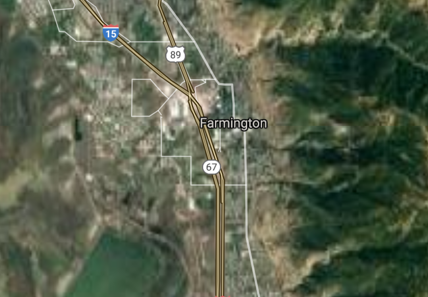
Farmington [*elevation ceiling = 40km]Elevation: 1312m (Group 55)
Vysota-3 (SLBM) |
Point A: 40.044399 00
Point B: 40.980500 00(1650t)
Point C: 41.510213 00
Point D: 40.330190 00
Point E: 41.307165 00
Point F: 41.191889 00
|
Point A: -111.732152 00
Point B: -111.887439 00(1650t)
Point C: -112.015502 00
Point D: -111.904488 00
Point E: -111.960220 00
Point F: -111.971330 00
|
|
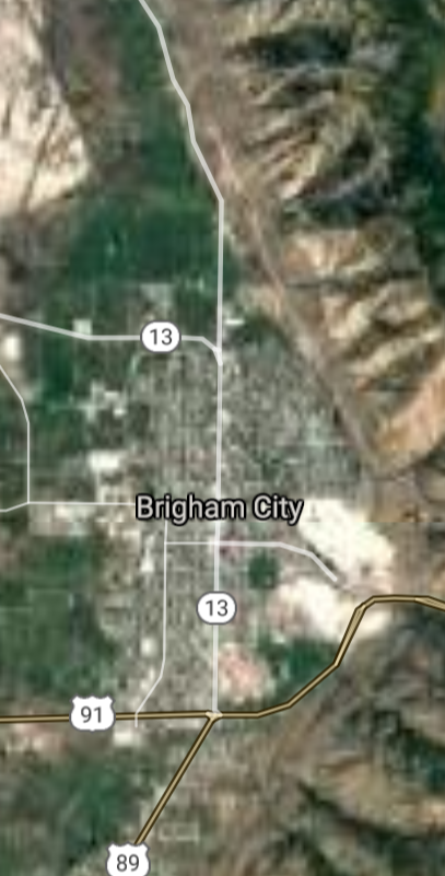
Brigham City [*elevation ceiling = 40km]Elevation: 1352m (Group 55)
Vysota-3 (SLBM) |
Point A: 40.044399 00
Point B: 40.980500 00
Point C: 41.510213 00(1650t)
Point D: 40.330190 00
Point E: 41.307165 00
Point F: 41.191889 00
|
Point A: -111.732152 00
Point B: -111.887439 00
Point C: -112.015502 00(1650t)
Point D: -111.904488 00
Point E: -111.960220 00
Point F: -111.971330 00
|
|
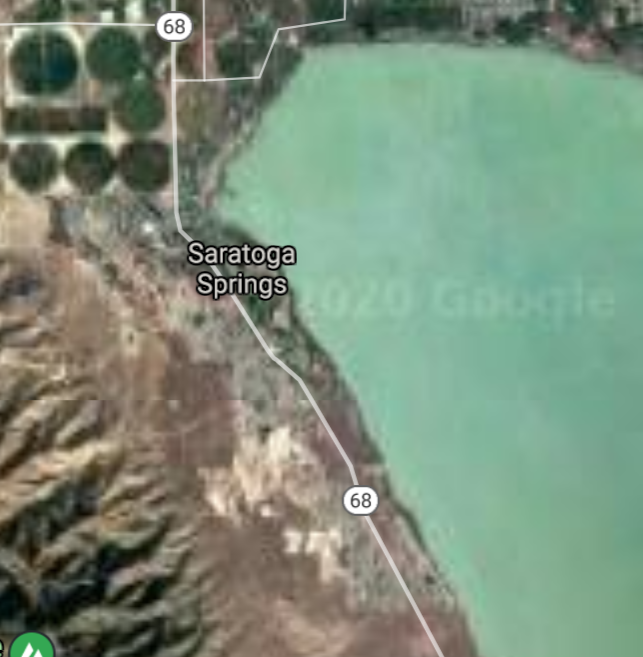
Saratoga Springs [*elevation ceiling = 40km]Elevation: 1388m (Group 55)
Vysota-3 (SLBM) |
Point A: 40.044399 00
Point B: 40.980500 00
Point C: 41.510213 00
Point D: 40.330190 00(1650t)
Point E: 41.307165 00
Point F: 41.191889 00
|
Point A: -111.732152 00
Point B: -111.887439 00
Point C: -112.015502 00
Point D: -111.904488 00(1650t)
Point E: -111.960220 00
Point F: -111.971330 00
|
|
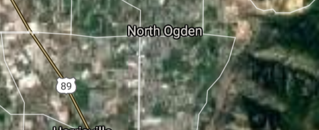
North Ogden [*elevation ceiling = 40km]Elevation: 1370m (Group 55)
Vysota-3 (SLBM) |
Point A: 40.044399 00
Point B: 40.980500 00
Point C: 41.510213 00
Point D: 40.330190 00
Point E: 41.307165 00(1650t)
Point F: 41.191889 00
|
Point A: -111.732152 00
Point B: -111.887439 00
Point C: -112.015502 00
Point D: -111.904488 00
Point E: -111.960220 00(1650t)
Point F: -111.971330 00
|
|
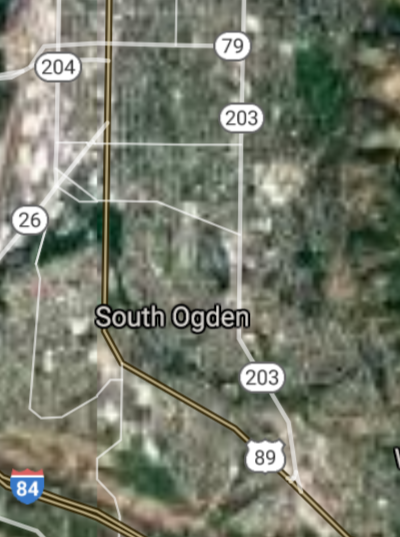
South Ogden [*elevation ceiling = 40km]Elevation: 1357m (Group 55)
Vysota-3 (SLBM) |
Point A: 40.044399 00
Point B: 40.980500 00
Point C: 41.510213 00
Point D: 40.330190 00
Point E: 41.307165 00
Point F: 41.191889 00(1650t)
|
Point A: -111.732152 00
Point B: -111.887439 00
Point C: -112.015502 00
Point D: -111.904488 00
Point E: -111.960220 00
Point F: -111.971330 00(1650t)
|
|
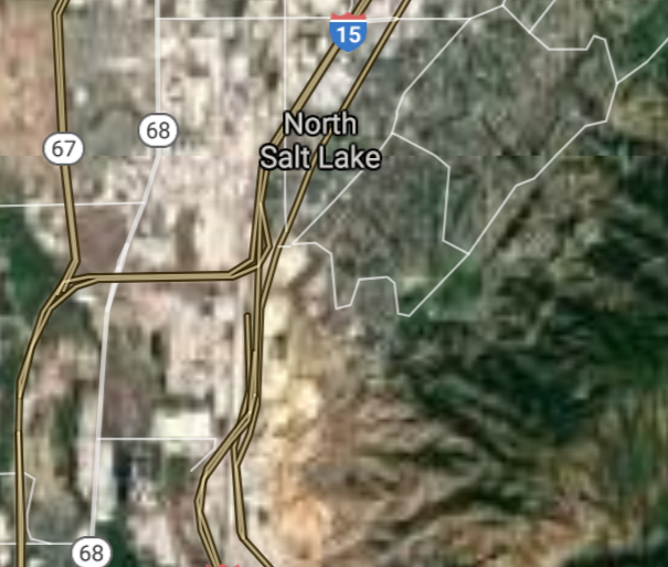
North Salt Lake [*elevation ceiling = 40km]Elevation: 1323m (Group 56)
Vysota-3 (SLBM) |
Point A: 40.848556 00(1650t)
Point B: 40.424867 00
Point C: 40.918001 00
Point D: 37.175261 00
Point E: 40.507009 00
Point F: 41.203000 00
|
Point A: -111.906882 00(1650t)
Point B: -111.797929 00
Point C: -111.872160 00
Point D: -113.289948 00
Point E: -111.413323 00
Point F: -112.051053 00
|
|
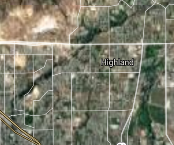
Highland [*elevation ceiling = 40km]Elevation: 1480m (Group 56)
Vysota-3 (SLBM) |
Point A: 40.848556 00
Point B: 40.424867 00(1650t)
Point C: 40.918001 00
Point D: 37.175261 00
Point E: 40.507009 00
Point F: 41.203000 00
|
Point A: -111.906882 00
Point B: -111.797929 00(1650t)
Point C: -111.872160 00
Point D: -113.289948 00
Point E: -111.413323 00
Point F: -112.051053 00
|
|
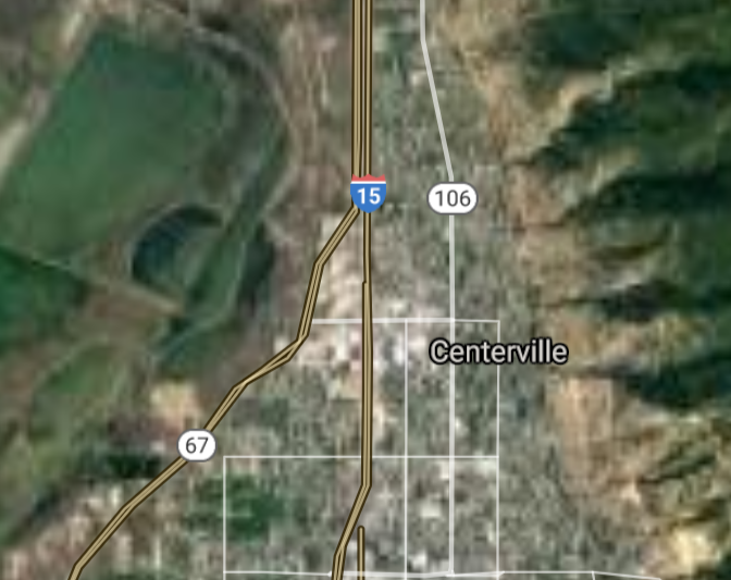
Centerville [*elevation ceiling = 40km]Elevation: 1332m (Group 56)
Vysota-3 (SLBM) |
Point A: 40.848556 00
Point B: 40.424867 00
Point C: 40.918001 00(1650t)
Point D: 37.175261 00
Point E: 40.507009 00
Point F: 41.203000 00
|
Point A: -111.906882 00
Point B: -111.797929 00
Point C: -111.872160 00(1650t)
Point D: -113.289948 00
Point E: -111.413323 00
Point F: -112.051053 00
|
|
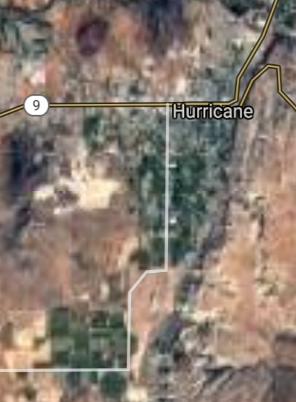
Hurricane [*elevation ceiling = 40km]Elevation: 989m (Group 56)
Vysota-3 (SLBM) |
Point A: 40.848556 00
Point B: 40.424867 00
Point C: 40.918001 00
Point D: 37.175261 00(1650t)
Point E: 40.507009 00
Point F: 41.203000 00
|
Point A: -111.906882 00
Point B: -111.797929 00
Point C: -111.872160 00
Point D: -113.289948 00(1650t)
Point E: -111.413323 00
Point F: -112.051053 00
|
|
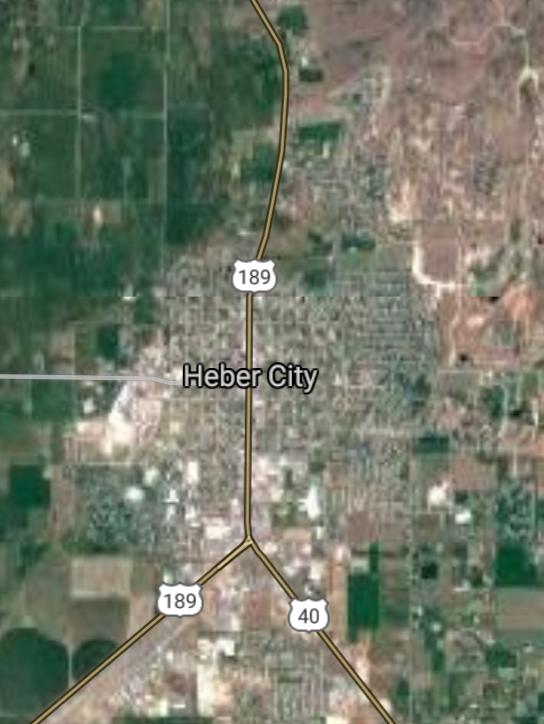
Heber City [*elevation ceiling = 40km]Elevation: 1707m (Group 56)
Vysota-3 (SLBM) |
Point A: 40.848556 00
Point B: 40.424867 00
Point C: 40.918001 00
Point D: 37.175261 00
Point E: 40.507009 00(1650t)
Point F: 41.203000 00
|
Point A: -111.906882 00
Point B: -111.797929 00
Point C: -111.872160 00
Point D: -113.289948 00
Point E: -111.413323 00(1650t)
Point F: -112.051053 00
|
|
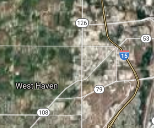
West Haven [*elevation ceiling = 40km]Elevation: 1300m (Group 56)
Vysota-3 (SLBM) |
Point A: 40.848556 00
Point B: 40.424867 00
Point C: 40.918001 00
Point D: 37.175261 00
Point E: 40.507009 00
Point F: 41.203000 00(1650t)
|
Point A: -111.906882 00
Point B: -111.797929 00
Point C: -111.872160 00
Point D: -113.289948 00
Point E: -111.413323 00
Point F: -112.051053 00(1650t)
|
[Top]
Open START Drills: Central Basin
![]()
![]()
![]()
![]()
![]()
![]()
![]()
![]()
![]()
JanuaryFebruaryMarchAprilJuneJulySeptemberOctoberDecember |
2024
|
|

JanuaryFebruaryJuneJulyAugustOctoberNovemberDecember |
2024
|
|

JanuaryFebruaryJuneJulySeptemberOctoberNovemberDecember |
2024
|
|
