

 OPEN Start


 Hollywood, JSC
Mendocino, JSC
LA SOCIETY
SF SOCIETY
NY SOCIETY
Open START Drills
Hollywood, JSC
Mendocino, JSC
LA SOCIETY
SF SOCIETY
NY SOCIETY
Open START Drills
Talk Daily Commodities Review LATPACT Open Market Equities Report Currency Central
 Situation: US
 |

|

|

|
|
 SOCIETY Trust Fund LATPACT Trust Fund LATPACT Open Market Far West (SEZ) Trust RIM of Nations Trust
Arctic Pact Trade Zone | Upper Rhine Zone | Lower Rhine Zone | Middle Rhone Basin
| Level 2 - Open START/*Super Grid |
| Level 3 - Stellar Fields |


Climate Central News & Information
 "US attempts to salvage the European Order with a K-9 Squad clan style coalition"
Population Conversations: 2,457,829
Planet Power Seconds
 BRICS Security Council
 Military cooperation is exceedingly pressing ahead in notable markets from China, Russia and India which include achieving greater milestones within the technology, communications, and aerospace industries. Vastly, multi-national alliances continue to expand as relying on new protocols oppose resistance with deregulation in the spheres of international security and terrorism. As a result, the BRICS Security Council is forming several key initiatives from climate security to preserve and harness the skills with establishing a polar-arc posture in outer space.
In contrast, a grave decline in NATO has been detected. In early 2018, UNITED STATES ARMY COMMANDER, GENERAL CURTIS M. SCAPARROTTI delivered the posture statement for NATO. He stated, "As our most significant trading partner, Europe is vital to promoting American prosperity. With shared history and values, Europe is also a critical partner in advancing American influence throughout the world. The North Atlantic Treaty Organization (NATO) enables us to preserve peace through strength as alliance unity fundamentally deters the aggression of potential adversaries." Meanwhile, NATO readiness is faltering in Europe as lack of training, inadequate funding and outdated equipment persist over the Brexit strategy.
United Nations Command: AUKUSA/Quad 4
 Extensively, the Central Basin is transforming international security while disabling NATO, AUKUSA and the Quad 4 military alliances with the Open START Hawaii and Open START Alaska drills. Inherently, the Central Basin fleet suppresses the UN Command over security backlogs as the Global South impedes expansion for the Japanese yen. Economically, the US dollar bounds NATO, AUKUSA and the Quad 4 alliances under one entity in the wake of the 2007 housing crises, COVID-19 recovery and war in Ukraine. Generously, the Upper Rhine pass bridges the Open START Hawaii and Open START Alaska drills which stabilize international and climate security. Uniquely, Open START drills for the Upper Rhine pass pegs the value of the Japanese yen and Korean Won to the Chinese yuan, Indian rupee, Russian ruble, and Mexican peso to enable economic transformation for the Central Basin region. Effectively, the Open START drill secures the yen in cooperation with the Global South as significant growth on the New Silk Road Economic Belt extends in Africa. Suitably, the Open START drill baffles the UN Command with the Upper Rhine pass as the historical value is at stake. Judiciously, the Open START drill isolates the UN Command over Level 1 protocol which underpins NATO, AUKUSA and the Quad 4 military alliances to Celtic Briton tribes.
The OSCE and NATO: From the Arctic Circle
 Historically, military conflicts include land navigation rivalry which is significant for the Lower Rhine corridor as tensions between the Eastern and Western hemisphere ignite over political testimony. Substantially, the US has interspersed armed forces in the EU with the connivance of NATO and the OSCE to subjugate the Arctic Circle and dominate international trade from the Middle East. Tacitly, the OSCE is equipped to engineer early warnings, conflict resolution and crisis management over military tensions with NATO to inseminate the world order of law and justice. Decisively, the Open START Iceland drill unify the corners of the world to combat the historical West from the Arctic Circle over climate security, war crimes and crimes against humanity. Particularly, normalized ties to Israel for the Lower Rhine corridor weighs over rising Eastern influence from the Near East which is a major factor in the Open START Iceland drill. Efficiently, the Open START Iceland drill balances political, economic and military parity between the historical East and West which is threatened from the incumbency of trade sanctions and escalating military tensions in the West.
*Schedule of Nuclear Attack
Be advised: The specific plan of attack for Oregon is sensitive and will be posted here closer to its scheduled strike.
Oregon
AL* | AZ* | AR* | CO | CT | DE | FL | GA | ID | IN | IA | KS | KY | LA | ME | MD
MA | MI | MN | MO | MT | NE | NV | NH | NJ | NM | NY | NC | ND | OH | OK | OR | PA | RI | SC
SD | TN | TX | UT | VA (DC)** | VT** | WA** | WV** | WI** | WY**
*Central Fleet South  Bulava + RT23 Cadet + Vysota3
Team: Memphis Fire (Local Area Control)
**Central Fleet North Bulava + Surya + Vysota3
Open START (RKS) |
Groups UR197 - UR204 | *300kt | Millineum Power *4,000 MW
Level 1 - WA Dong (SIT.2) 
Oregon |
Latitude Coordinate |
Longitude Coordinate |
|
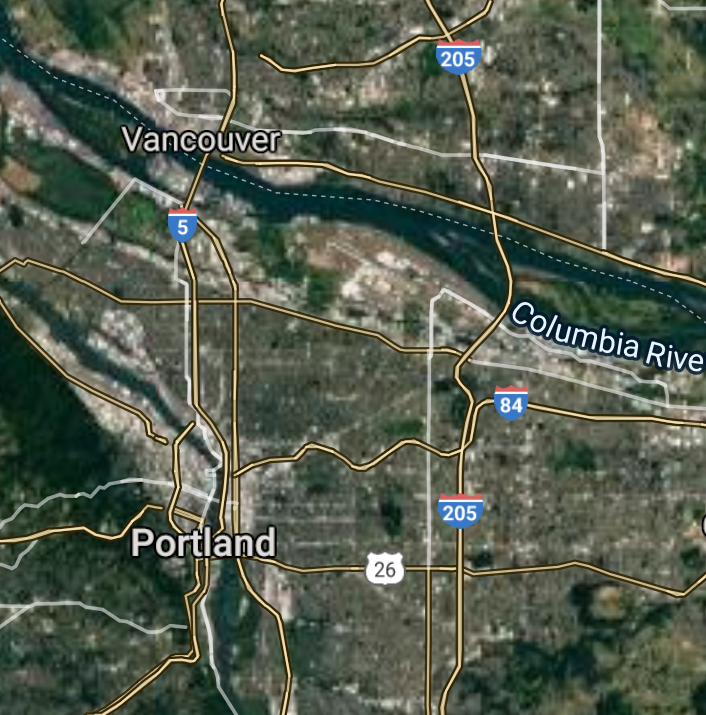
Portland [*elevation ceiling = 40km]Elevation: 17m (Group 197)
UR-100N (SLBM) |
Point A: 45.512231 00(300kt)
Point B: 44.942898 00
Point C: 44.052069 00
Point D: 45.509839 00
Point E: 45.520011 00
Point F: 45.488799 00
Open START Passages |
Point A: -122.658719 00(300kt)
Point B: -123.035096 00
Point C: -123.086754 00
Point D: -122.434733 00
Point E: -122.936583 00
Point F: -122.801333 00
Demonstration |
|
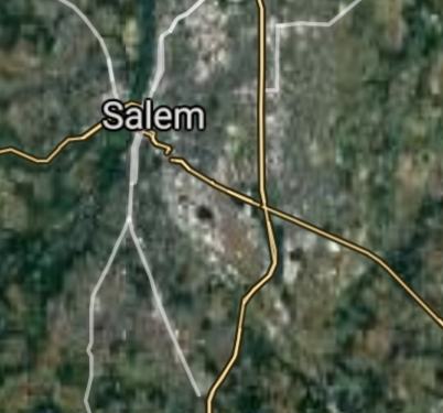
Salem [*elevation ceiling = 40km]Elevation: 48m (Group 197)
UR-100N (SLBM) |
Point A: 45.512231 00
Point B: 44.942898 00(300kt)
Point C: 44.052069 00
Point D: 45.509839 00
Point E: 45.520011 00
Point F: 45.488799 00
|
Point A: -122.658719 00
Point B: -123.035096 00(300kt)
Point C: -123.086754 00
Point D: -122.434733 00
Point E: -122.936583 00
Point F: -122.801333 00
|
|
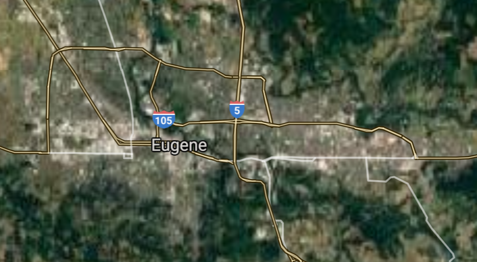
Eugene [*elevation ceiling = 40km]Elevation: 131m (Group 197)
UR-100N (SLBM) |
Point A: 45.512231 00
Point B: 44.942898 00
Point C: 44.052069 00(300kt)
Point D: 45.509839 00
Point E: 45.520011 00
Point F: 45.488799 00
|
Point A: -122.658719 00
Point B: -123.035096 00
Point C: -123.086754 00(300kt)
Point D: -122.434733 00
Point E: -122.936583 00
Point F: -122.801333 00
|
|
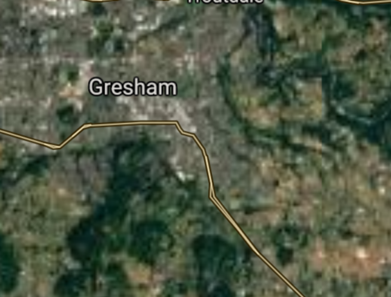
Gresham [*elevation ceiling = 40km]Elevation: 95m (Group 197)
UR-100N (SLBM) |
Point A: 45.512231 00
Point B: 44.942898 00
Point C: 44.052069 00
Point D: 45.509839 00(300kt)
Point E: 45.520011 00
Point F: 45.488799 00
|
Point A: -122.658719 00
Point B: -123.035096 00
Point C: -123.086754 00
Point D: -122.434733 00(300kt)
Point E: -122.936583 00
Point F: -122.801333 00
|
|
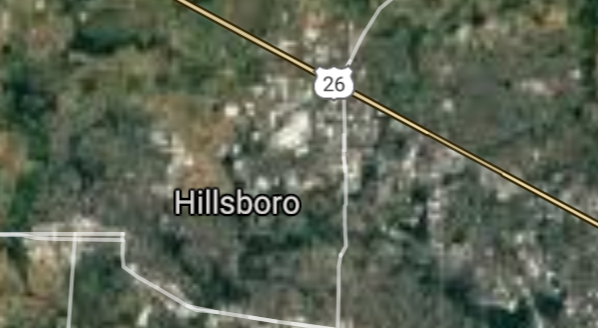
Hillsboro [*elevation ceiling = 40km]Elevation: 56m (Group 197)
UR-100N (SLBM) |
Point A: 45.512231 00
Point B: 44.942898 00
Point C: 44.052069 00
Point D: 45.509839 00
Point E: 45.520011 00(300kt)
Point F: 45.488799 00
|
Point A: -122.658719 00
Point B: -123.035096 00
Point C: -123.086754 00
Point D: -122.434733 00
Point E: -122.936583 00(300kt)
Point F: -122.801333 00
|
|
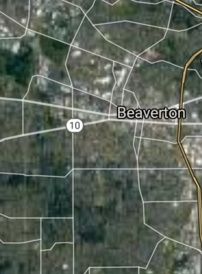
Beaverton [*elevation ceiling = 40km]Elevation: 56m (Group 197)
UR-100N (SLBM) |
Point A: 45.512231 00
Point B: 44.942898 00
Point C: 44.052069 00
Point D: 45.509839 00
Point E: 45.520011 00
Point F: 45.488799 00(300kt)
|
Point A: -122.658719 00
Point B: -123.035096 00
Point C: -123.086754 00
Point D: -122.434733 00
Point E: -122.936583 00
Point F: -122.801333 00(300kt)
|
|
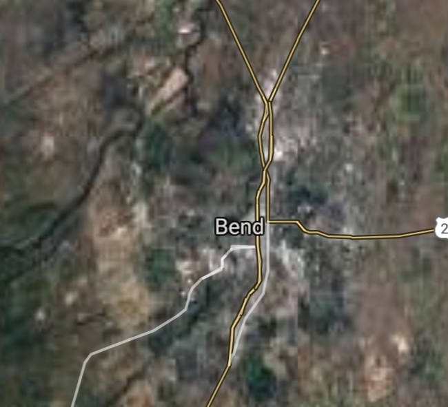
Bend [*elevation ceiling = 40km]Elevation: 1105m (Group 198)
UR-100N (SLBM) |
Point A: 44.058173 00(300kt)
Point B: 42.326515 00
Point C: 44.046236 00
Point D: 44.564566 00
Point E: 44.636511 00
Point F: 45.418680 00
|
Point A: -121.315310 00(300kt)
Point B: -122.875595 00
Point C: -123.022029 00
Point D: -123.262044 00
Point E: -123.105928 00
Point F: -122.787260 00
|
|
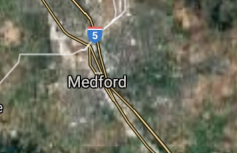
Medford [*elevation ceiling = 40km]Elevation: 421m (Group 198)
UR-100N (SLBM) |
Point A: 44.058173 00
Point B: 42.326515 00(300kt)
Point C: 44.046236 00
Point D: 44.564566 00
Point E: 44.636511 00
Point F: 45.418680 00
|
Point A: -121.315310 00
Point B: -122.875595 00(300kt)
Point C: -123.022029 00
Point D: -123.262044 00
Point E: -123.105928 00
Point F: -122.787260 00
|
|
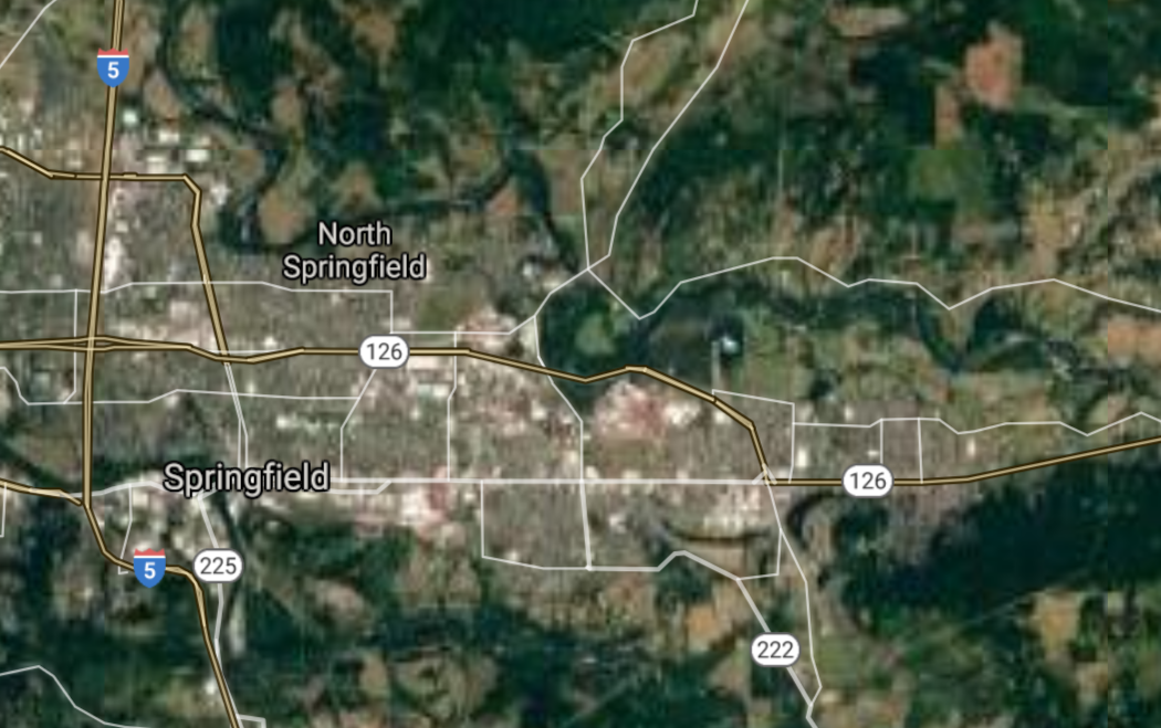
Springfield [*elevation ceiling = 40km]Elevation: 140m (Group 198)
UR-100N (SLBM) |
Point A: 44.058173 00
Point B: 42.326515 00
Point C: 44.046236 00(300kt)
Point D: 44.564566 00
Point E: 44.636511 00
Point F: 45.418680 00
|
Point A: -121.315310 00
Point B: -122.875595 00
Point C: -123.022029 00(300kt)
Point D: -123.262044 00
Point E: -123.105928 00
Point F: -122.787260 00
|
|
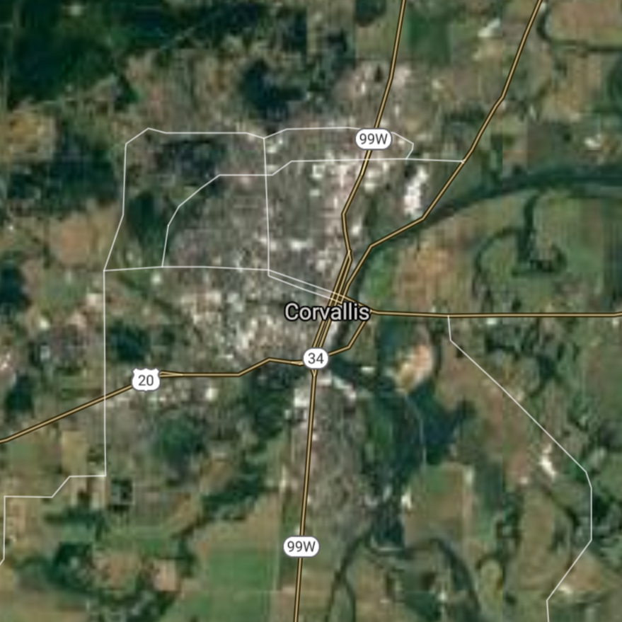
Corvallis [*elevation ceiling = 40km]Elevation: 70m (Group 198)
UR-100N (SLBM) |
Point A: 44.058173 00
Point B: 42.326515 00
Point C: 44.046236 00
Point D: 44.564566 00(300kt)
Point E: 44.636511 00
Point F: 45.418680 00
|
Point A: -121.315310 00
Point B: -122.875595 00
Point C: -123.022029 00
Point D: -123.262044 00(300kt)
Point E: -123.105928 00
Point F: -122.787260 00
|
|
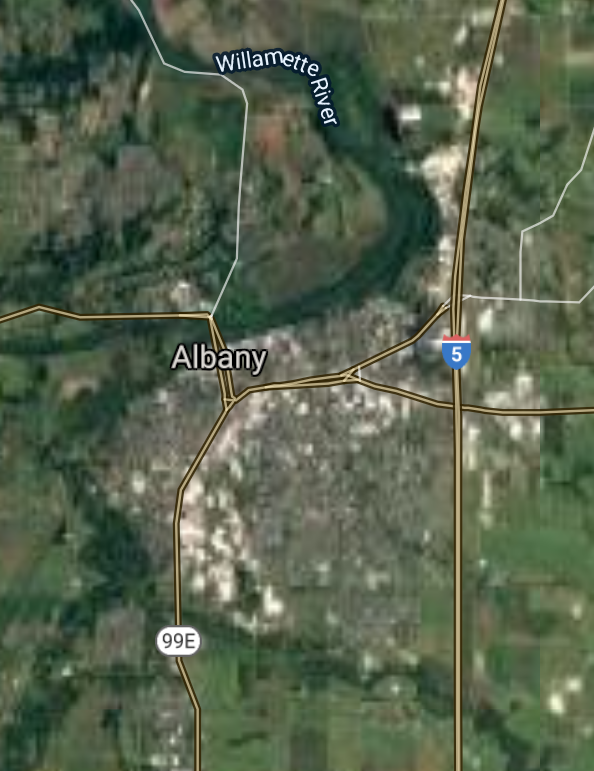
Albany [*elevation ceiling = 40km]Elevation: 65m (Group 198)
UR-100N (SLBM) |
Point A: 44.058173 00
Point B: 42.326515 00
Point C: 44.046236 00
Point D: 44.564566 00
Point E: 44.636511 00(300kt)
Point F: 45.418680 00
|
Point A: -121.315310 00
Point B: -122.875595 00
Point C: -123.022029 00
Point D: -123.262044 00
Point E: -123.105928 00(300kt)
Point F: -122.787260 00
|
|
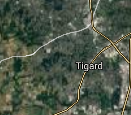
Tigard [*elevation ceiling = 40km]Elevation: 87m (Group 198)
UR-100N (SLBM) |
Point A: 44.058173 00
Point B: 42.326515 00
Point C: 44.046236 00
Point D: 44.564566 00
Point E: 44.636511 00
Point F: 45.418680 00(300kt)
|
Point A: -121.315310 00
Point B: -122.875595 00
Point C: -123.022029 00
Point D: -123.262044 00
Point E: -123.105928 00
Point F: -122.787260 00(300kt)
|
|
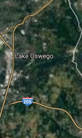
Lake Oswego [*elevation ceiling = 40km]Elevation: 72m (Group 199)
UR-100N (SLBM) |
Point A: 45.415682 00(300kt)
Point B: 44.990119 00
Point C: 42.439007 00
Point D: 45.336359 00
Point E: 45.210116 00
Point F: 44.272620 00
|
Point A: -122.715973 00(300kt)
Point B: -123.026208 00
Point C: -123.328393 00
Point D: -122.604847 00
Point E: -123.198716 00
Point F: -121.173921 00
|
|
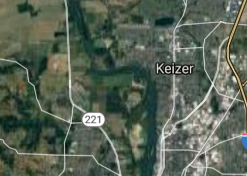
Keizer [*elevation ceiling = 40km]Elevation: 43m (Group 199)
UR-100N (SLBM) |
Point A: 45.415682 00
Point B: 44.990119 00(300kt)
Point C: 42.439007 00
Point D: 45.336359 00
Point E: 45.210116 00
Point F: 44.272620 00
|
Point A: -122.715973 00
Point B: -123.026208 00(300kt)
Point C: -123.328393 00
Point D: -122.604847 00
Point E: -123.198716 00
Point F: -121.173921 00
|
|
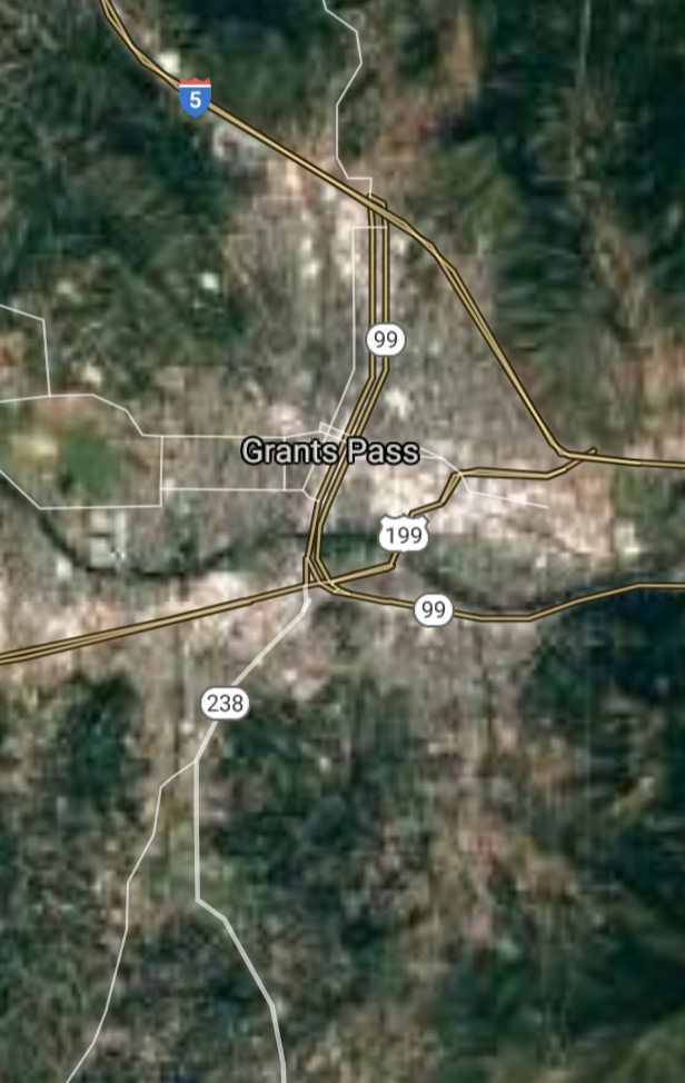
Grants Pass [*elevation ceiling = 40km]Elevation: 287m (Group 199)
UR-100N (SLBM) |
Point A: 45.415682 00
Point B: 44.990119 00
Point C: 42.439007 00(300kt)
Point D: 45.336359 00
Point E: 45.210116 00
Point F: 44.272620 00
|
Point A: -122.715973 00
Point B: -123.026208 00
Point C: -123.328393 00(300kt)
Point D: -122.604847 00
Point E: -123.198716 00
Point F: -121.173921 00
|
|
Oregon City [*elevation ceiling = 40km]Elevation: 146m (Group 199)
UR-100N (SLBM) |
Point A: 45.415682 00
Point B: 44.990119 00
Point C: 42.439007 00
Point D: 45.336359 00(300kt)
Point E: 45.210116 00
Point F: 44.272620 00
|
Point A: -122.715973 00
Point B: -123.026208 00
Point C: -123.328393 00
Point D: -122.604847 00(300kt)
Point E: -123.198716 00
Point F: -121.173921 00
|
|
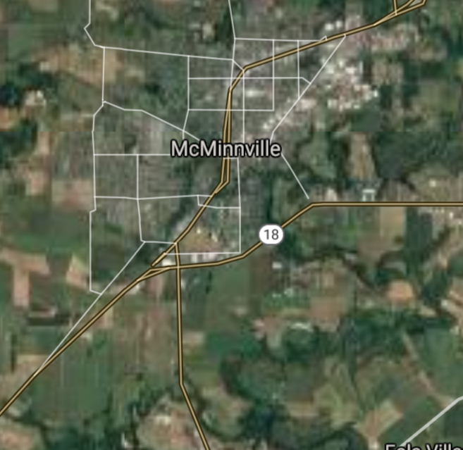
McMinnville [*elevation ceiling = 40km]Elevation: 46m (Group 199)
UR-100N (SLBM) |
Point A: 45.415682 00
Point B: 44.990119 00
Point C: 42.439007 00
Point D: 45.336359 00
Point E: 45.210116 00(300kt)
Point F: 44.272620 00
|
Point A: -122.715973 00
Point B: -123.026208 00
Point C: -123.328393 00
Point D: -122.604847 00
Point E: -123.198716 00(300kt)
Point F: -121.173921 00
|
|
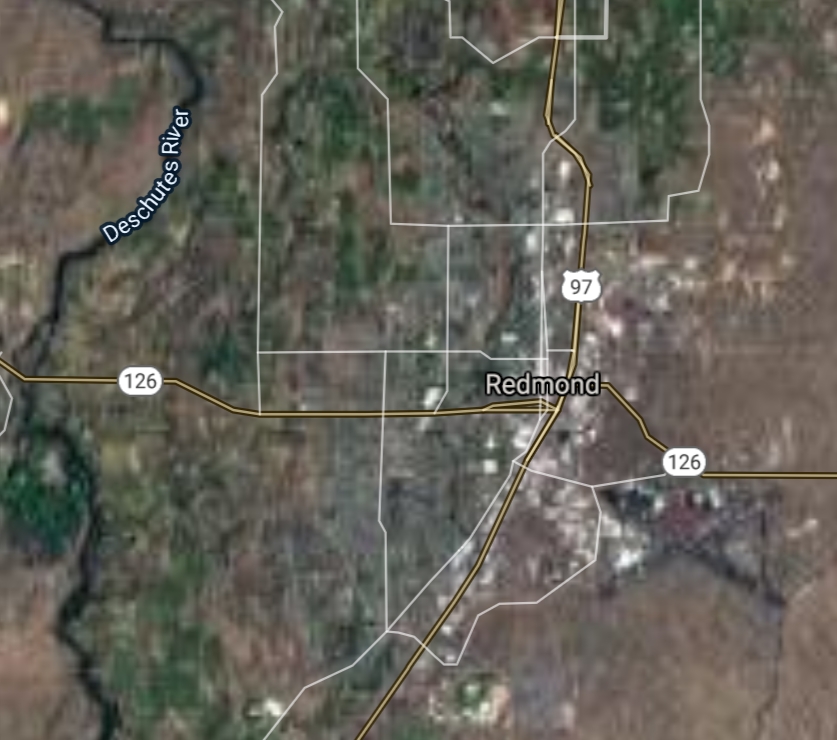
Redmond [*elevation ceiling = 40km]Elevation: 914m (Group 199)
UR-100N (SLBM) |
Point A: 45.415682 00
Point B: 44.990119 00
Point C: 42.439007 00
Point D: 45.336359 00
Point E: 45.210116 00
Point F: 44.272620 00(300kt)
|
Point A: -122.715973 00
Point B: -123.026208 00
Point C: -123.328393 00
Point D: -122.604847 00
Point E: -123.198716 00
Point F: -121.173921 00(300kt)
|
|
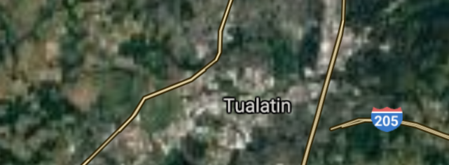
Tualatin [*elevation ceiling = 40km]Elevation: 48m (Group 200)
UR-100N (SLBM) |
Point A: 45.377932 00(300kt)
Point B: 45.370768 00
Point C: 45.143731 00
Point D: 45.526351 00
Point E: 45.306463 00
Point F: 45.302990 00
|
Point A: -122.781959 00(300kt)
Point B: -122.622837 00
Point C: -122.855372 00
Point D: -123.120860 00
Point E: -122.946941 00
Point F: -122.772650 00
|
|
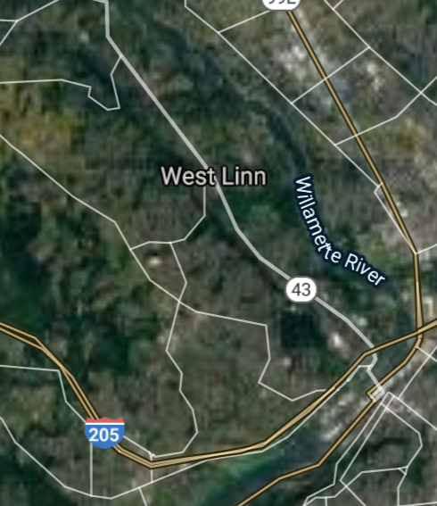
West Linn [*elevation ceiling = 40km]Elevation: 65m (Group 200)
UR-100N (SLBM) |
Point A: 45.377932 00
Point B: 45.370768 00(300kt)
Point C: 45.143731 00
Point D: 45.526351 00
Point E: 45.306463 00
Point F: 45.302990 00
|
Point A: -122.781959 00
Point B: -122.622837 00(300kt)
Point C: -122.855372 00
Point D: -123.120860 00
Point E: -122.946941 00
Point F: -122.772650 00
|
|
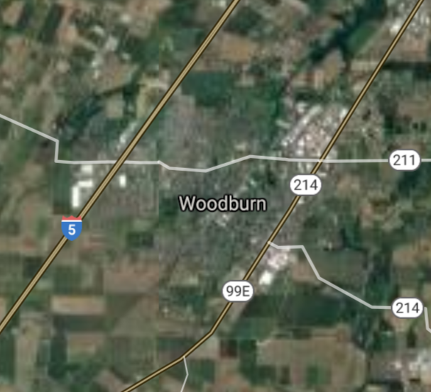
Woodburn [*elevation ceiling = 40km]Elevation: 57m (Group 200)
UR-100N (SLBM) |
Point A: 45.377932 00
Point B: 45.370768 00
Point C: 45.143731 00(300kt)
Point D: 45.526351 00
Point E: 45.306463 00
Point F: 45.302990 00
|
Point A: -122.781959 00
Point B: -122.622837 00
Point C: -122.855372 00(300kt)
Point D: -123.120860 00
Point E: -122.946941 00
Point F: -122.772650 00
|
|
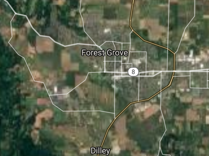
Forest Grove [*elevation ceiling = 40km]Elevation: 62m (Group 200)
UR-100N (SLBM) |
Point A: 45.377932 00
Point B: 45.370768 00
Point C: 45.143731 00
Point D: 45.526351 00(300kt)
Point E: 45.306463 00
Point F: 45.302990 00
|
Point A: -122.781959 00
Point B: -122.622837 00
Point C: -122.855372 00
Point D: -123.120860 00(300kt)
Point E: -122.946941 00
Point F: -122.772650 00
|
|
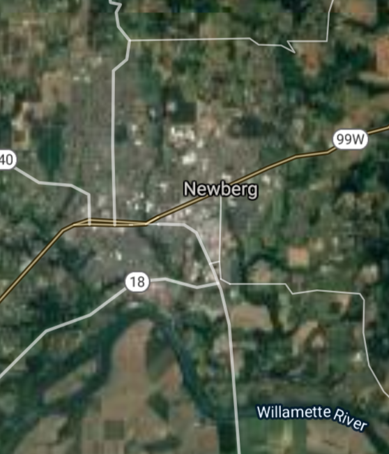
Newberg [*elevation ceiling = 40km]Elevation: 62m (Group 200)
UR-100N (SLBM) |
Point A: 45.377932 00
Point B: 45.370768 00
Point C: 45.143731 00
Point D: 45.526351 00
Point E: 45.306463 00(300kt)
Point F: 45.302990 00
|
Point A: -122.781959 00
Point B: -122.622837 00
Point C: -122.855372 00
Point D: -123.120860 00
Point E: -122.946941 00(300kt)
Point F: -122.772650 00
|
|
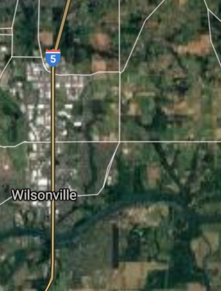
Wilsonville [*elevation ceiling = 40km]Elevation: 48m (Group 200)
UR-100N (SLBM) |
Point A: 45.377932 00
Point B: 45.370768 00
Point C: 45.143731 00
Point D: 45.526351 00
Point E: 45.306463 00
Point F: 45.302990 00(300kt)
|
Point A: -122.781959 00
Point B: -122.622837 00
Point C: -122.855372 00
Point D: -123.120860 00
Point E: -122.946941 00
Point F: -122.772650 00(300kt)
|
|
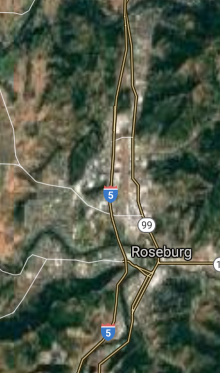
Roseburg [*elevation ceiling = 40km]Elevation: 145m (Group 201)
UR-100N (SLBM) |
Point A: 43.216505 00(300kt)
Point B: 42.224867 00
Point C: 42.194576 00
Point D: 45.446532 00
Point E: 45.356264 00
Point F: 45.446914 00
|
Point A: -123.341738 00(300kt)
Point B: -121.781670 00
Point C: -122.709477 00
Point D: -122.632332 00
Point E: -122.840212 00
Point F: -122.530913 00
|
|
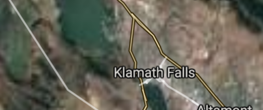
Klamath Falls [*elevation ceiling = 40km]Elevation: 1252m (Group 201)
UR-100N (SLBM) |
Point A: 43.216505 00
Point B: 42.224867 00(300kt)
Point C: 42.194576 00
Point D: 45.446532 00
Point E: 45.356264 00
Point F: 45.446914 00
|
Point A: -123.341738 00
Point B: -121.781670 00(300kt)
Point C: -122.709477 00
Point D: -122.632332 00
Point E: -122.840212 00
Point F: -122.530913 00
|
|
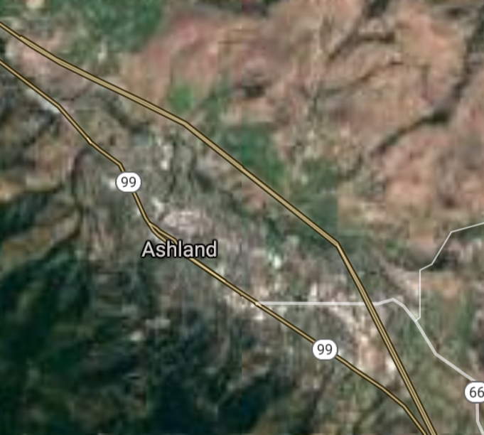
Ashland [*elevation ceiling = 40km]Elevation: 590m (Group 201)
UR-100N (SLBM) |
Point A: 43.216505 00
Point B: 42.224867 00
Point C: 42.194576 00(300kt)
Point D: 45.446532 00
Point E: 45.356264 00
Point F: 45.446914 00
|
Point A: -123.341738 00
Point B: -121.781670 00
Point C: -122.709477 00(300kt)
Point D: -122.632332 00
Point E: -122.840212 00
Point F: -122.530913 00
|
|
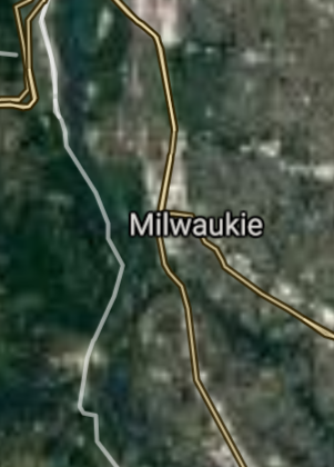
Milwaukie [*elevation ceiling = 40km]Elevation: 28m (Group 201)
UR-100N (SLBM) |
Point A: 43.216505 00
Point B: 42.224867 00
Point C: 42.194576 00
Point D: 45.446532 00(300kt)
Point E: 45.356264 00
Point F: 45.446914 00
|
Point A: -123.341738 00
Point B: -121.781670 00
Point C: -122.709477 00
Point D: -122.632332 00(300kt)
Point E: -122.840212 00
Point F: -122.530913 00
|
|
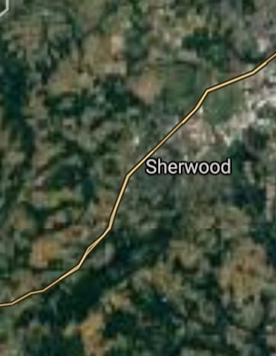
Sherwood [*elevation ceiling = 40km]Elevation: 61m (Group 201)
UR-100N (SLBM) |
Point A: 43.216505 00
Point B: 42.224867 00
Point C: 42.194576 00
Point D: 45.446532 00
Point E: 45.356264 00(300kt)
Point F: 45.446914 00
|
Point A: -123.341738 00
Point B: -121.781670 00
Point C: -122.709477 00
Point D: -122.632332 00
Point E: -122.840212 00(300kt)
Point F: -122.530913 00
|
|
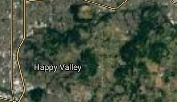
Happy Valley [*elevation ceiling = 40km]Elevation: 155m (Group 201)
UR-100N (SLBM) |
Point A: 43.216505 00
Point B: 42.224867 00
Point C: 42.194576 00
Point D: 45.446532 00
Point E: 45.356264 00
Point F: 45.446914 00(300kt)
|
Point A: -123.341738 00
Point B: -121.781670 00
Point C: -122.709477 00
Point D: -122.632332 00
Point E: -122.840212 00
Point F: -122.530913 00(300kt)
|
|
Central Point [*elevation ceiling = 40km]Elevation: 386m (Group 202)
UR-100N (SLBM) |
Point A: 42.375959 00(300kt)
Point B: 45.262205 00
Point C: 45.840410 00
Point D: 45.672075 00
Point E: 45.539630 00
Point F: 44.536512 00
|
Point A: -122.916431 00(300kt)
Point B: -122.692156 00
Point C: -119.289460 00
Point D: -118.788597 00
Point E: -122.392058 00
Point F: -122.907034 00
|
|
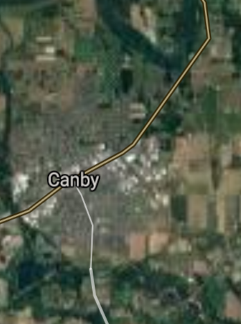
Canby [*elevation ceiling = 40km]Elevation: 47m (Group 202)
UR-100N (SLBM) |
Point A: 42.375959 00
Point B: 45.262205 00(300kt)
Point C: 45.840410 00
Point D: 45.672075 00
Point E: 45.539630 00
Point F: 44.536512 00
|
Point A: -122.916431 00
Point B: -122.692156 00(300kt)
Point C: -119.289460 00
Point D: -118.788597 00
Point E: -122.392058 00
Point F: -122.907034 00
|
|
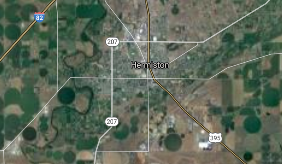
Hermiston [*elevation ceiling = 40km]Elevation: 139m (Group 202)
UR-100N (SLBM) |
Point A: 42.375959 00
Point B: 45.262205 00
Point C: 45.840410 00(300kt)
Point D: 45.672075 00
Point E: 45.539630 00
Point F: 44.536512 00
|
Point A: -122.916431 00
Point B: -122.692156 00
Point C: -119.289460 00(300kt)
Point D: -118.788597 00
Point E: -122.392058 00
Point F: -122.907034 00
|
|
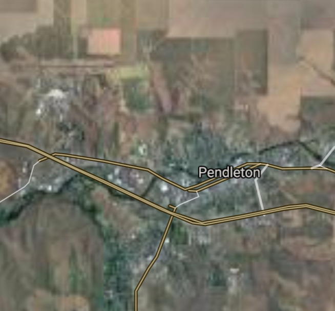
Pendleton [*elevation ceiling = 40km]Elevation: 326m (Group 202)
UR-100N (SLBM) |
Point A: 42.375959 00
Point B: 45.262205 00
Point C: 45.840410 00
Point D: 45.672075 00(300kt)
Point E: 45.539630 00
Point F: 44.536512 00
|
Point A: -122.916431 00
Point B: -122.692156 00
Point C: -119.289460 00
Point D: -118.788597 00(300kt)
Point E: -122.392058 00
Point F: -122.907034 00
|
|
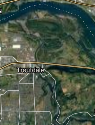
Troutdale [*elevation ceiling = 40km]Elevation: 32m (Group 202)
UR-100N (SLBM) |
Point A: 42.375959 00
Point B: 45.262205 00
Point C: 45.840410 00
Point D: 45.672075 00
Point E: 45.539630 00(300kt)
Point F: 44.536512 00
|
Point A: -122.916431 00
Point B: -122.692156 00
Point C: -119.289460 00
Point D: -118.788597 00
Point E: -122.392058 00(300kt)
Point F: -122.907034 00
|
|
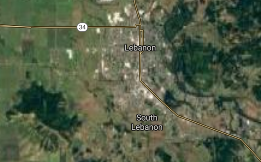
Lebanon [*elevation ceiling = 40km]Elevation: 107m (Group 202)
UR-100N (SLBM) |
Point A: 42.375959 00
Point B: 45.262205 00
Point C: 45.840410 00
Point D: 45.672075 00
Point E: 45.539630 00
Point F: 44.536512 00(300kt)
|
Point A: -122.916431 00
Point B: -122.692156 00
Point C: -119.289460 00
Point D: -118.788597 00
Point E: -122.392058 00
Point F: -122.907034 00(300kt)
|
|
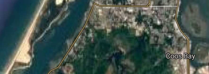
Coos Bay [*elevation ceiling = 40km]Elevation: 4m (Group 203)
UR-100N (SLBM) |
Point A: 43.366501 00(300kt)
Point B: 45.594565 00
Point C: 44.919284 00
Point D: 45.858972 00
Point E: 45.324577 00
Point F: 45.520227 00
|
Point A: -124.217890 00(300kt)
Point B: -121.178682 00
Point C: -123.317047 00
Point D: -122.821230 00
Point E: -118.087719 00
Point F: -123.047034 00
|
|
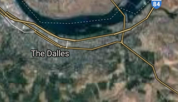
The Dalles [*elevation ceiling = 40km]Elevation: 81m (Group 203)
UR-100N (SLBM) |
Point A: 43.366501 00
Point B: 45.594565 00(300kt)
Point C: 44.919284 00
Point D: 45.858972 00
Point E: 45.324577 00
Point F: 45.520227 00
|
Point A: -124.217890 00
Point B: -121.178682 00(300kt)
Point C: -123.317047 00
Point D: -122.821230 00
Point E: -118.087719 00
Point F: -123.047034 00
|
|
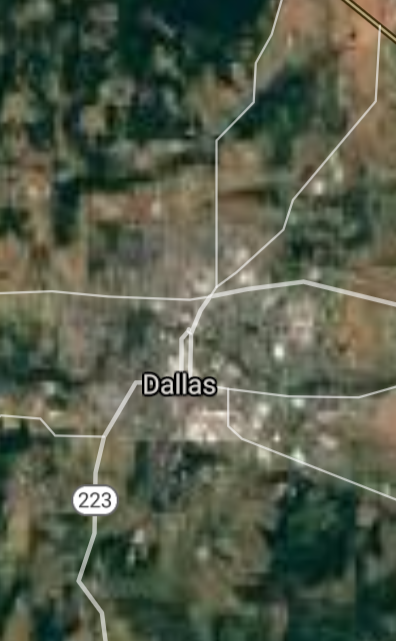
Dallas [*elevation ceiling = 40km]Elevation: 99m (Group 203)
UR-100N (SLBM) |
Point A: 43.366501 00
Point B: 45.594565 00
Point C: 44.919284 00(300kt)
Point D: 45.858972 00
Point E: 45.324577 00
Point F: 45.520227 00
|
Point A: -124.217890 00
Point B: -121.178682 00
Point C: -123.317047 00(300kt)
Point D: -122.821230 00
Point E: -118.087719 00
Point F: -123.047034 00
|
|
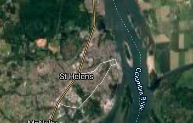
St. Helens [*elevation ceiling = 40km]Elevation: 32m (Group 203)
UR-100N (SLBM) |
Point A: 43.366501 00
Point B: 45.594565 00
Point C: 44.919284 00
Point D: 45.858972 00(300kt)
Point E: 45.324577 00
Point F: 45.520227 00
|
Point A: -124.217890 00
Point B: -121.178682 00
Point C: -123.317047 00
Point D: -122.821230 00(300kt)
Point E: -118.087719 00
Point F: -123.047034 00
|
|
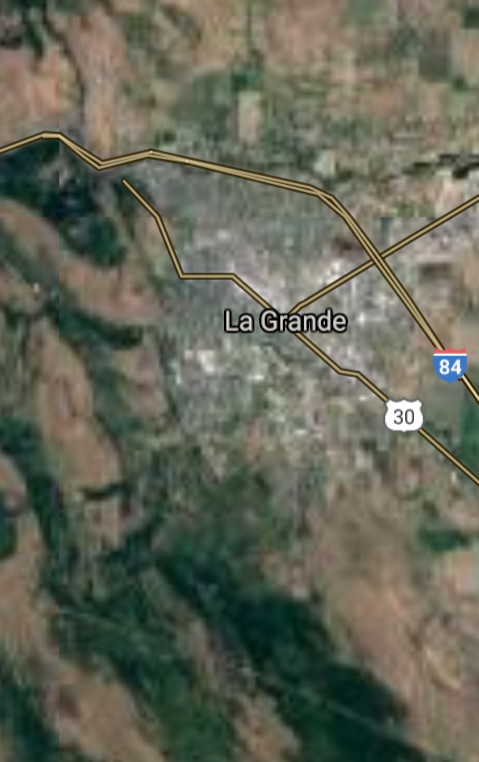
La Grande [*elevation ceiling = 40km]Elevation: 846m (Group 203)
UR-100N (SLBM) |
Point A: 43.366501 00
Point B: 45.594565 00
Point C: 44.919284 00
Point D: 45.858972 00
Point E: 45.324577 00(300kt)
Point F: 45.520227 00
|
Point A: -124.217890 00
Point B: -121.178682 00
Point C: -123.317047 00
Point D: -122.821230 00
Point E: -118.087719 00(300kt)
Point F: -123.047034 00
|
|
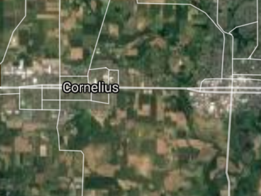
Cornelius [*elevation ceiling = 40km]Elevation: 57m (Group 203)
UR-100N (SLBM) |
Point A: 43.366501 00
Point B: 45.594565 00
Point C: 44.919284 00
Point D: 45.858972 00
Point E: 45.324577 00
Point F: 45.520227 00(300kt)
|
Point A: -124.217890 00
Point B: -121.178682 00
Point C: -123.317047 00
Point D: -122.821230 00
Point E: -118.087719 00
Point F: -123.047034 00(300kt)
|
|
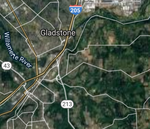
Gladstone [*elevation ceiling = 40km]Elevation: 23m (Group 204)
UR-100N (SLBM) |
Point A: 45.384294 00(300kt)
Point B: 44.026553 00
Point C: 45.397520 00
Point D: 44.636784 00
Point E: 44.848452 00
Point F: 43.797623 00
|
Point A: -122.597310 00(300kt)
Point B: -116.962938 00
Point C: -122.270442 00
Point D: -124.053451 00
Point E: -123.233989 00
Point F: -123.059525 00
|
|
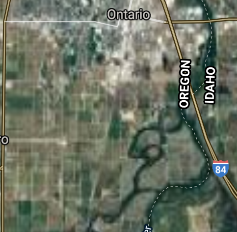
Ontario [*elevation ceiling = 40km]Elevation: 656m (Group 204)
UR-100N (SLBM) |
Point A: 45.384294 00
Point B: 44.026553 00(300kt)
Point C: 45.397520 00
Point D: 44.636784 00
Point E: 44.848452 00
Point F: 43.797623 00
|
Point A: -122.597310 00
Point B: -116.962938 00(300kt)
Point C: -122.270442 00
Point D: -124.053451 00
Point E: -123.233989 00
Point F: -123.059525 00
|
|
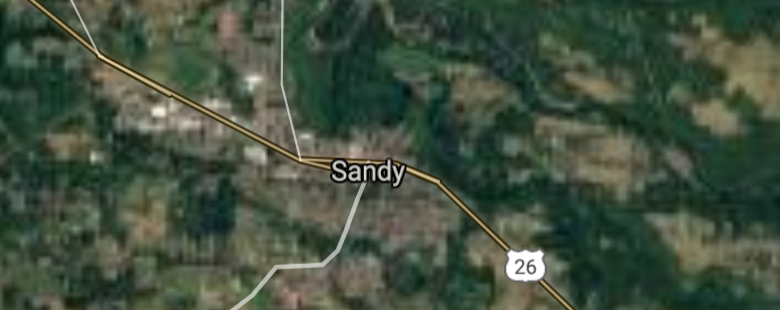
Sandy [*elevation ceiling = 40km]Elevation: 278m (Group 204)
UR-100N (SLBM) |
Point A: 45.384294 00
Point B: 44.026553 00
Point C: 45.397520 00(300kt)
Point D: 44.636784 00
Point E: 44.848452 00
Point F: 43.797623 00
|
Point A: -122.597310 00
Point B: -116.962938 00
Point C: -122.270442 00(300kt)
Point D: -124.053451 00
Point E: -123.233989 00
Point F: -123.059525 00
|
|
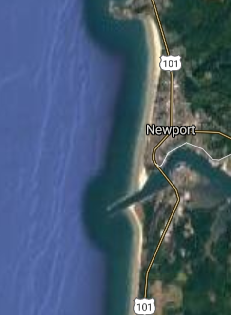
Newport [*elevation ceiling = 40km]Elevation: 44m (Group 204)
UR-100N (SLBM) |
Point A: 45.384294 00
Point B: 44.026553 00
Point C: 45.397520 00
Point D: 44.636784 00(300kt)
Point E: 44.848452 00
Point F: 43.797623 00
|
Point A: -122.597310 00
Point B: -116.962938 00
Point C: -122.270442 00
Point D: -124.053451 00(300kt)
Point E: -123.233989 00
Point F: -123.059525 00
|
|
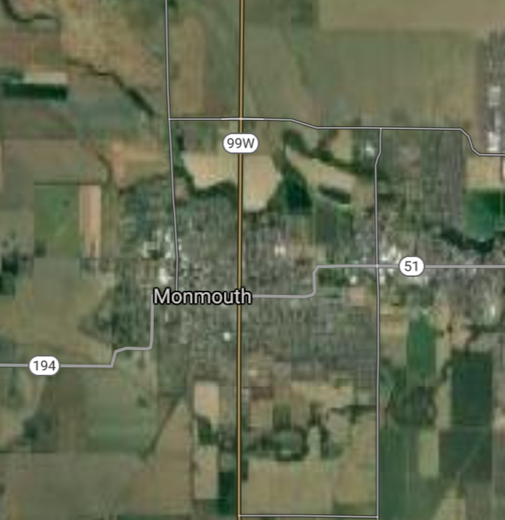
Monmouth [*elevation ceiling = 40km]Elevation: 62m (Group 204)
UR-100N (SLBM) |
Point A: 45.384294 00
Point B: 44.026553 00
Point C: 45.397520 00
Point D: 44.636784 00
Point E: 44.848452 00(300kt)
Point F: 43.797623 00
|
Point A: -122.597310 00
Point B: -116.962938 00
Point C: -122.270442 00
Point D: -124.053451 00
Point E: -123.233989 00(300kt)
Point F: -123.059525 00
|
|
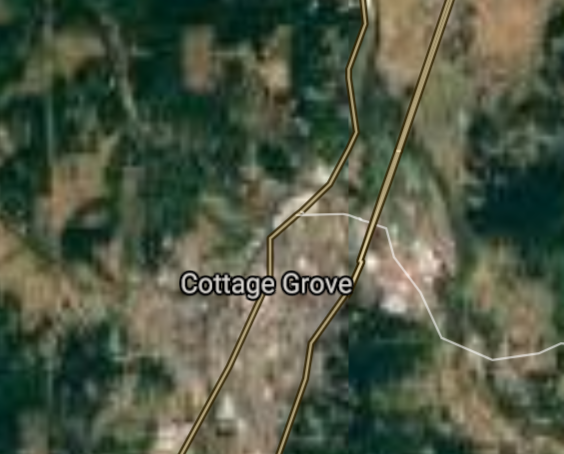
Cottage Grove [*elevation ceiling = 40km]Elevation: 197m (Group 204)
UR-100N (SLBM) |
Point A: 45.384294 00
Point B: 44.026553 00
Point C: 45.397520 00
Point D: 44.636784 00
Point E: 44.848452 00
Point F: 43.797623 00(300kt)
|
Point A: -122.597310 00
Point B: -116.962938 00
Point C: -122.270442 00
Point D: -124.053451 00
Point E: -123.233989 00
Point F: -123.059525 00(300kt)
|


[Top]
Open START: Central Basin
"BRICS Security Council emerging from cross-currency evaluations"
OPEN Start: Central Basin - is an engineering vessel which is proven with climate security in evaluation of the USD/YEN currency pair. Annually, climate security is leading economic growth in key emerging markets surrounding the Four Asian Tigers. Affordably, the following industries extend opportunities for military cooperation: aerospace, telecommunications, finance and banking. OPEN Start: Central Basin strengthens the backbone for international security beyond the shadows of USD/YEN controversy. Traversely, OPEN Start: Central Basin offsets the cross-over gap between the USD/MXN and USD/RUB exchange rates. Notably, the Three Amigas form an economic alliance in the Far West through joint-cooperation projects from Venture 1, Venture LA and Venture SF which all extend with the Far North reach towards the Far South (as illustrated below).
![]()
![]()
![]()
![]()
![]()
![]()
![]()
![]()
![]()
JanuaryFebruaryMarchAprilJuneJulySeptemberOctoberDecember |
2026 Group Drills - Schedule
|
|

JanuaryFebruaryJuneJulyAugustOctoberNovemberDecember |
2026 Group Drills - Schedule
|
|

JanuaryFebruaryJuneJulySeptemberOctoberNovemberDecember |
2026 Group Drills - Schedule
|
|
