

 OPEN Start


 Hollywood, JSC
Mendocino, JSC
LA SOCIETY
SF SOCIETY
NY SOCIETY
Open START Drills
Hollywood, JSC
Mendocino, JSC
LA SOCIETY
SF SOCIETY
NY SOCIETY
Open START Drills
Talk Daily Commodities Review LATPACT Open Market Equities Report Currency Central
 Situation: US
 |

|

|

|
|
 SOCIETY Trust Fund LATPACT Trust Fund LATPACT Open Market Far West (SEZ) Trust RIM of Nations Trust
Arctic Pact Trade Zone | Upper Rhine Zone | Lower Rhine Zone | Middle Rhone Basin
| Level 2 - Open START/*Super Grid |
| Level 3 - Stellar Fields |


Climate Central News & Information
 "US attempts to salvage the European Order with a K-9 Squad clan style coalition"
Population Conversations: 1,251,547
Planet Power Seconds
 BRICS Security Council
 Military cooperation is exceedingly pressing ahead in notable markets from China, Russia and India which include achieving greater milestones within the technology, communications, and aerospace industries. Vastly, multi-national alliances continue to expand as relying on new protocols oppose resistance with deregulation in the spheres of international security and terrorism. As a result, the BRICS Security Council is forming several key initiatives from climate security to preserve and harness the skills with establishing a polar-arc posture in outer space.
In contrast, a grave decline in NATO has been detected. In early 2018, UNITED STATES ARMY COMMANDER, GENERAL CURTIS M. SCAPARROTTI delivered the posture statement for NATO. He stated, "As our most significant trading partner, Europe is vital to promoting American prosperity. With shared history and values, Europe is also a critical partner in advancing American influence throughout the world. The North Atlantic Treaty Organization (NATO) enables us to preserve peace through strength as alliance unity fundamentally deters the aggression of potential adversaries." Meanwhile, NATO readiness is faltering in Europe as lack of training, inadequate funding and outdated equipment persist over the Brexit strategy.
United Nations Command: AUKUSA/Quad 4
 Extensively, the Central Basin is transforming international security while disabling NATO, AUKUSA and the Quad 4 military alliances with the Open START Hawaii and Open START Alaska drills. Inherently, the Central Basin fleet suppresses the UN Command over security backlogs as the Global South impedes expansion for the Japanese yen. Economically, the US dollar bounds NATO, AUKUSA and the Quad 4 alliances under one entity in the wake of the 2007 housing crises, COVID-19 recovery and war in Ukraine. Generously, the Upper Rhine pass bridges the Open START Hawaii and Open START Alaska drills which stabilize international and climate security. Uniquely, Open START drills for the Upper Rhine pass pegs the value of the Japanese yen and Korean Won to the Chinese yuan, Indian rupee, Russian ruble, and Mexican peso to enable economic transformation for the Central Basin region. Effectively, the Open START drill secures the yen in cooperation with the Global South as significant growth on the New Silk Road Economic Belt extends in Africa. Suitably, the Open START drill baffles the UN Command with the Upper Rhine pass as the historical value is at stake. Judiciously, the Open START drill isolates the UN Command over Level 1 protocol which underpins NATO, AUKUSA and the Quad 4 military alliances to Celtic Briton tribes.
The OSCE and NATO: From the Arctic Circle
 Historically, military conflicts include land navigation rivalry which is significant for the Lower Rhine corridor as tensions between the Eastern and Western hemisphere ignite over political testimony. Substantially, the US has interspersed armed forces in the EU with the connivance of NATO and the OSCE to subjugate the Arctic Circle and dominate international trade from the Middle East. Tacitly, the OSCE is equipped to engineer early warnings, conflict resolution and crisis management over military tensions with NATO to inseminate the world order of law and justice. Decisively, the Open START Iceland drill unify the corners of the world to combat the historical West from the Arctic Circle over climate security, war crimes and crimes against humanity. Particularly, normalized ties to Israel for the Lower Rhine corridor weighs over rising Eastern influence from the Near East which is a major factor in the Open START Iceland drill. Efficiently, the Open START Iceland drill balances political, economic and military parity between the historical East and West which is threatened from the incumbency of trade sanctions and escalating military tensions in the West.
*Schedule of Nuclear Attack
Be advised: The specific plan of attack for Nebraska is sensitive and will be posted here closer to its scheduled strike.
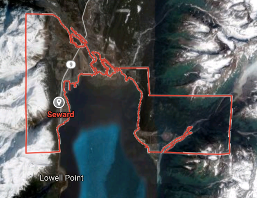
Nebraska
AL* | AZ* | AR* | CO | CT | DE | FL | GA | ID | IN | IA | KS | KY | LA | ME |
MA | MI | MN | MO | MT | NE | NV | NH | NJ | NM | NY | NC | ND | OH | OK | OR | PA | RI | SC
SD | TN | UT | VA (DC)** | VT** | WV** | WI** | WY**
*Central Fleet South  Bulava + RT23 Cadet + Vysota3
Team: Memphis Fire (Local Area Control)
**Central Fleet North Bulava + Surya + Vysota3
Open START (RKS) |
Groups UR142 - UR149 | *300kt | Millineum Power *4,000 MW
Level 1 - WA Dong (SIT.2) 
Nebraska |
Latitude Coordinate |
Longitude Coordinate |
|
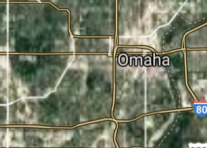
Omaha [*elevation ceiling = 40km]Elevation: 316m (Group 142)
UR-100N (SLBM) |
Point A: 41.256537 00(300kt)
Point B: 40.813616 00
Point C: 41.154362 00
Point D: 40.926396 00
Point E: 42.872783 00
Point F: 40.699330 00
Open START Passages |
Point A: -95.934503 00(300kt)
Point B: -96.702596 00
Point C: -95.914557 00
Point D: -98.342012 00
Point E: -100.550967 00
Point F: -99.081678 00
Demonstration |
|
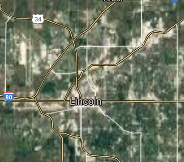
Lincoln [*elevation ceiling = 40km]Elevation: 356m (Group 142)
UR-100N (SLBM) |
Point A: 41.256537 00
Point B: 40.813616 00(300kt)
Point C: 41.154362 00
Point D: 40.926396 00
Point E: 42.872783 00
Point F: 40.699330 00
|
Point A: -95.934503 00
Point B: -96.702596 00(300kt)
Point C: -95.914557 00
Point D: -98.342012 00
Point E: -100.550967 00
Point F: -99.081678 00
|
|
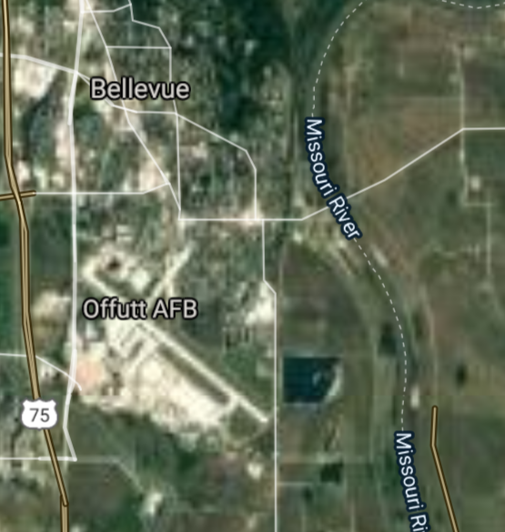
Bellevue [*elevation ceiling = 40km]Elevation: 340m (Group 142)
UR-100N (SLBM) |
Point A: 41.256537 00
Point B: 40.813616 00
Point C: 41.154362 00(300kt)
Point D: 40.926396 00
Point E: 42.872783 00
Point F: 40.699330 00
|
Point A: -95.934503 00
Point B: -96.702596 00
Point C: -95.914557 00(300kt)
Point D: -98.342012 00
Point E: -100.550967 00
Point F: -99.081678 00
|
|
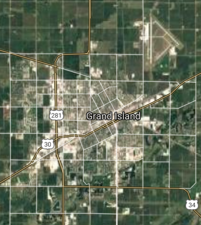
Grand Island [*elevation ceiling = 40km]Elevation: 568m (Group 142)
UR-100N (SLBM) |
Point A: 41.256537 00
Point B: 40.813616 00
Point C: 41.154362 00
Point D: 40.926396 00(300kt)
Point E: 42.872783 00
Point F: 40.699330 00
|
Point A: -95.934503 00
Point B: -96.702596 00
Point C: -95.914557 00
Point D: -98.342012 00(300kt)
Point E: -100.550967 00
Point F: -99.081678 00
|
|
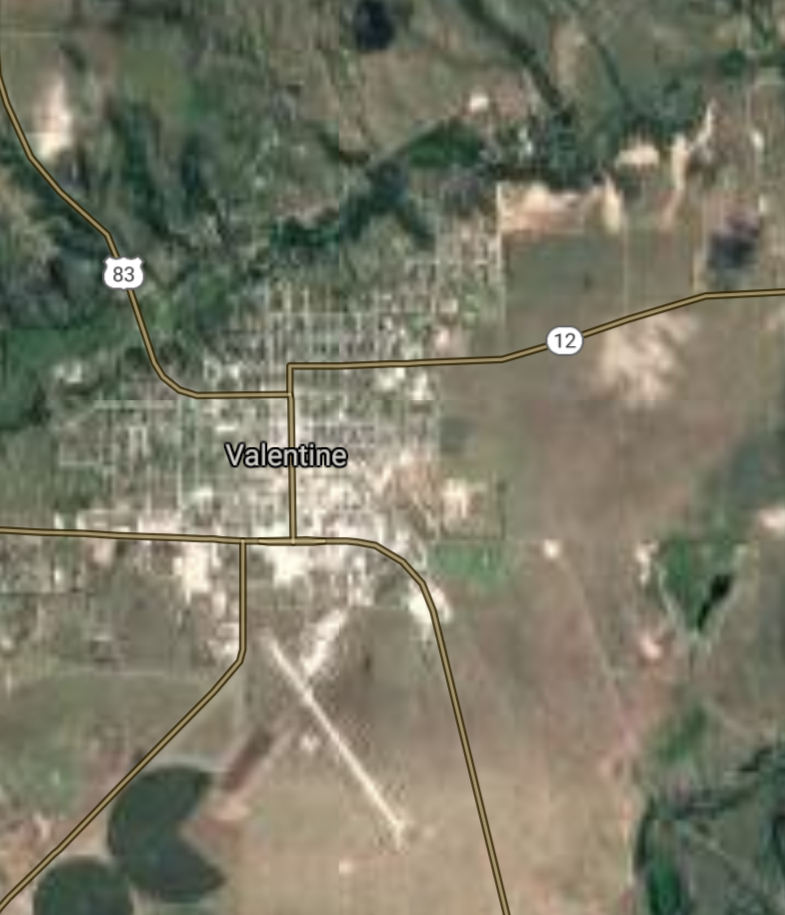
Valentine [*elevation ceiling = 40km]Elevation: 787m (Group 142)
UR-100N (SLBM) |
Point A: 41.256537 00
Point B: 40.813616 00
Point C: 41.154362 00
Point D: 40.926396 00
Point E: 42.872783 00(300kt)
Point F: 40.699330 00
|
Point A: -95.934503 00
Point B: -96.702596 00
Point C: -95.914557 00
Point D: -98.342012 00
Point E: -100.550967 00(300kt)
Point F: -99.081678 00
|
|
Kearney [*elevation ceiling = 40km]Elevation: 656m (Group 142)
UR-100N (SLBM) |
Point A: 41.256537 00
Point B: 40.813616 00
Point C: 41.154362 00
Point D: 40.926396 00
Point E: 42.872783 00
Point F: 40.699330 00(300kt)
|
Point A: -95.934503 00
Point B: -96.702596 00
Point C: -95.914557 00
Point D: -98.342012 00
Point E: -100.550967 00
Point F: -99.081678 00(300kt)
|
|
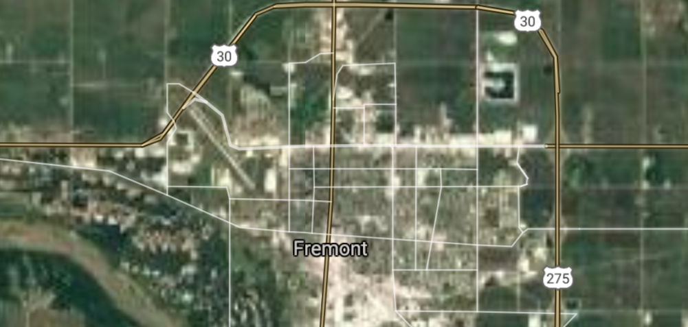
Fremont [*elevation ceiling = 40km]Elevation: 366m (Group 143)
UR-100N (SLBM) |
Point A: 41.433391 00(300kt)
Point B: 40.586258 00
Point C: 41.140276 00
Point D: 42.032723 00
Point E: 41.430297 00
Point F: 41.154443 00
|
Point A: -96.498147 00(300kt)
Point B: -98.389873 00
Point C: -100.760145 00
Point D: -97.413755 00
Point E: -97.359390 00
Point F: -96.042238 00
|
|
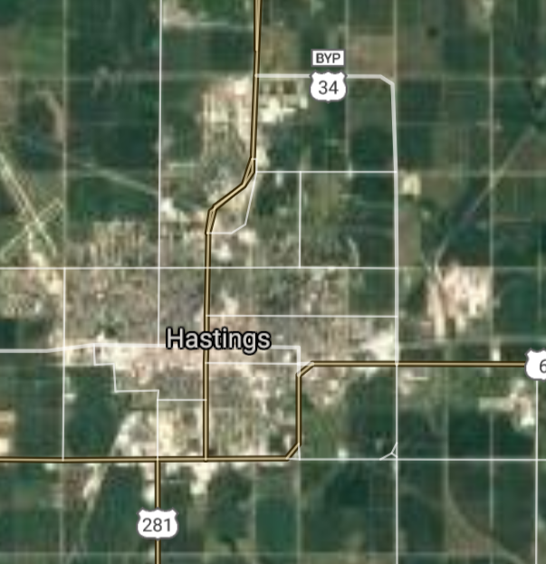
Hastings [*elevation ceiling = 40km]Elevation: 587m (Group 143)
UR-100N (SLBM) |
Point A: 41.433391 00
Point B: 40.586258 00(300kt)
Point C: 41.140276 00
Point D: 42.032723 00
Point E: 41.430297 00
Point F: 41.154443 00
|
Point A: -96.498147 00
Point B: -98.389873 00(300kt)
Point C: -100.760145 00
Point D: -97.413755 00
Point E: -97.359390 00
Point F: -96.042238 00
|
|
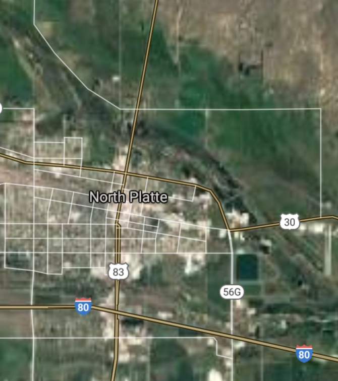
North Platte [*elevation ceiling = 40km]Elevation: 853m (Group 143)
UR-100N (SLBM) |
Point A: 41.433391 00
Point B: 40.586258 00
Point C: 41.140276 00(300kt)
Point D: 42.032723 00
Point E: 41.430297 00
Point F: 41.154443 00
|
Point A: -96.498147 00
Point B: -98.389873 00
Point C: -100.760145 00(300kt)
Point D: -97.413755 00
Point E: -97.359390 00
Point F: -96.042238 00
|
|
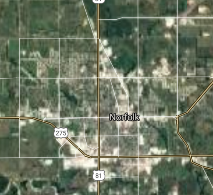
Norfolk [*elevation ceiling = 40km]Elevation: 464m (Group 143)
UR-100N (SLBM) |
Point A: 41.433391 00
Point B: 40.586258 00
Point C: 41.140276 00
Point D: 42.032723 00(300kt)
Point E: 41.430297 00
Point F: 41.154443 00
|
Point A: -96.498147 00
Point B: -98.389873 00
Point C: -100.760145 00
Point D: -97.413755 00(300kt)
Point E: -97.359390 00
Point F: -96.042238 00
|
|
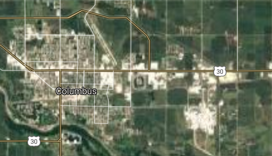
Columbus [*elevation ceiling = 40km]Elevation: 440m (Group 143)
UR-100N (SLBM) |
Point A: 41.433391 00
Point B: 40.586258 00
Point C: 41.140276 00
Point D: 42.032723 00
Point E: 41.430297 00(300kt)
Point F: 41.154443 00
|
Point A: -96.498147 00
Point B: -98.389873 00
Point C: -100.760145 00
Point D: -97.413755 00
Point E: -97.359390 00(300kt)
Point F: -96.042238 00
|
|
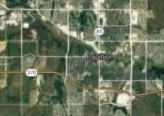
Papillion [*elevation ceiling = 40km]Elevation: 308m (Group 143)
UR-100N (SLBM) |
Point A: 41.433391 00
Point B: 40.586258 00
Point C: 41.140276 00
Point D: 42.032723 00
Point E: 41.430297 00
Point F: 41.154443 00(300kt)
|
Point A: -96.498147 00
Point B: -98.389873 00
Point C: -100.760145 00
Point D: -97.413755 00
Point E: -97.359390 00
Point F: -96.042238 00(300kt)
|
|
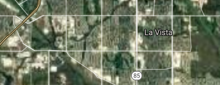
La Vista [*elevation ceiling = 40km]Elevation: 338m (Group 144)
UR-100N (SLBM) |
Point A: 41.183888 00(300kt)
Point B: 41.866634 00
Point C: 42.464856 00
Point D: 40.265927 00
Point E: 40.780840 00
Point F: 42.093024 00
|
Point A: -96.031127 00(300kt)
Point B: -103.667166 00
Point C: -96.413060 00
Point D: -96.746691 00
Point E: -99.741505 00
Point F: -102.870201 00
|
|
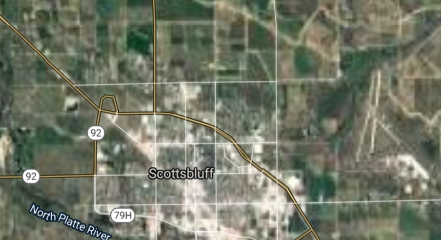
Scottsbluff [*elevation ceiling = 40km]Elevation: 1186m (Group 144)
UR-100N (SLBM) |
Point A: 41.183888 00
Point B: 41.866634 00(300kt)
Point C: 42.464856 00
Point D: 40.265927 00
Point E: 40.780840 00
Point F: 42.093024 00
|
Point A: -96.031127 00
Point B: -103.667166 00(300kt)
Point C: -96.413060 00
Point D: -96.746691 00
Point E: -99.741505 00
Point F: -102.870201 00
|
|
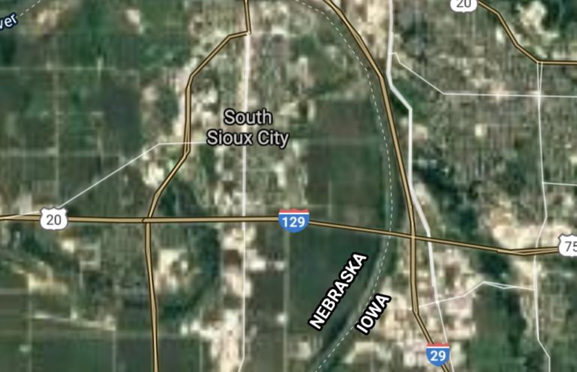
South Sioux City [*elevation ceiling = 40km]Elevation: 337m (Group 144)
UR-100N (SLBM) |
Point A: 41.183888 00
Point B: 41.866634 00
Point C: 42.464856 00(300kt)
Point D: 40.265927 00
Point E: 40.780840 00
Point F: 42.093024 00
|
Point A: -96.031127 00
Point B: -103.667166 00
Point C: -96.413060 00(300kt)
Point D: -96.746691 00
Point E: -99.741505 00
Point F: -102.870201 00
|
|
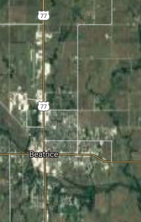
Beatrice [*elevation ceiling = 40km]Elevation: 389m (Group 144)
UR-100N (SLBM) |
Point A: 41.183888 00
Point B: 41.866634 00
Point C: 42.464856 00
Point D: 40.265927 00(300kt)
Point E: 40.780840 00
Point F: 42.093024 00
|
Point A: -96.031127 00
Point B: -103.667166 00
Point C: -96.413060 00
Point D: -96.746691 00(300kt)
Point E: -99.741505 00
Point F: -102.870201 00
|
|
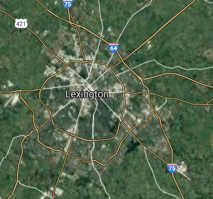
Lexington [*elevation ceiling = 40km]Elevation: 729m (Group 144)
UR-100N (SLBM) |
Point A: 41.183888 00
Point B: 41.866634 00
Point C: 42.464856 00
Point D: 40.265927 00
Point E: 40.780840 00(300kt)
Point F: 42.093024 00
|
Point A: -96.031127 00
Point B: -103.667166 00
Point C: -96.413060 00
Point D: -96.746691 00
Point E: -99.741505 00(300kt)
Point F: -102.870201 00
|
|
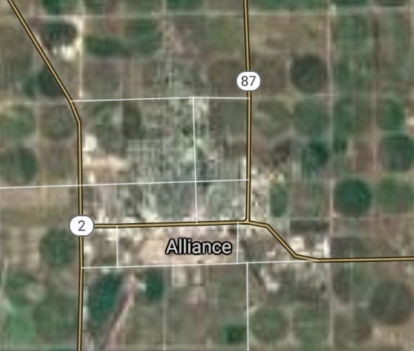
Alliance [*elevation ceiling = 40km]Elevation: 1211m (Group 144)
UR-100N (SLBM) |
Point A: 41.183888 00
Point B: 41.866634 00
Point C: 42.464856 00
Point D: 40.265927 00
Point E: 40.780840 00
Point F: 42.093024 00(300kt)
|
Point A: -96.031127 00
Point B: -103.667166 00
Point C: -96.413060 00
Point D: -96.746691 00
Point E: -99.741505 00
Point F: -102.870201 00(300kt)
|
|
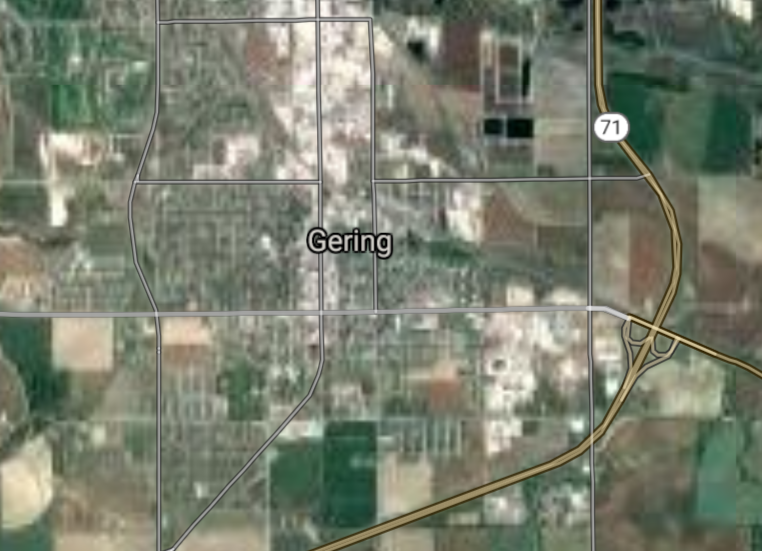
Gering [*elevation ceiling = 40km]Elevation: 1191m (Group 145)
UR-100N (SLBM) |
Point A: 41.826362 00(300kt)
Point B: 41.544698 00
Point C: 40.867392 00
Point D: 40.196670 00
Point E: 40.676575 00
Point F: 41.200257 00
|
Point A: -103.657762 00(300kt)
Point B: -96.135070 00
Point C: -97.592087 00
Point D: -100.624874 00
Point E: -95.859362 00
Point F: -96.031987 00
|
|
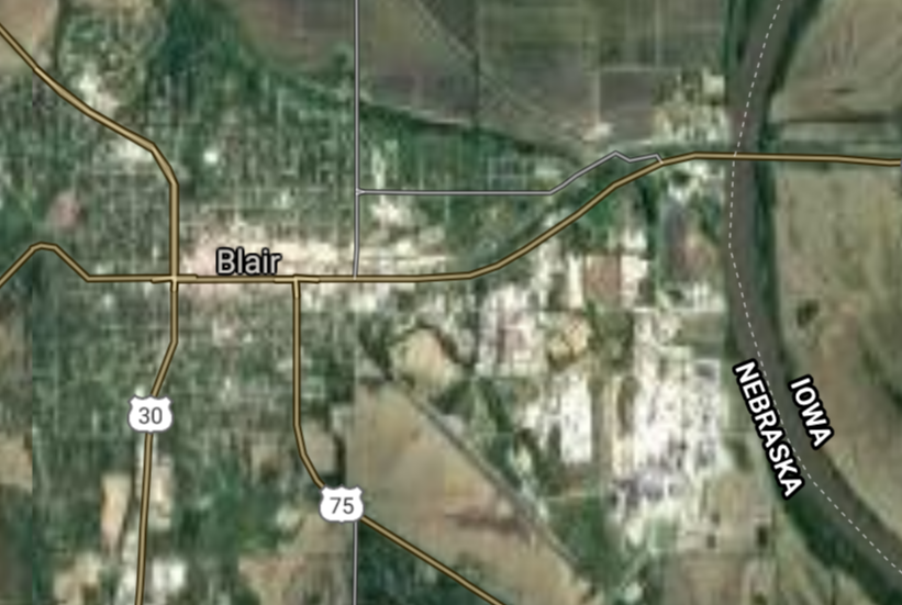
Blair [*elevation ceiling = 40km]Elevation: 332m (Group 145)
UR-100N (SLBM) |
Point A: 41.826362 00
Point B: 41.544698 00(300kt)
Point C: 40.867392 00
Point D: 40.196670 00
Point E: 40.676575 00
Point F: 41.200257 00
|
Point A: -103.657762 00
Point B: -96.135070 00(300kt)
Point C: -97.592087 00
Point D: -100.624874 00
Point E: -95.859362 00
Point F: -96.031987 00
|
|
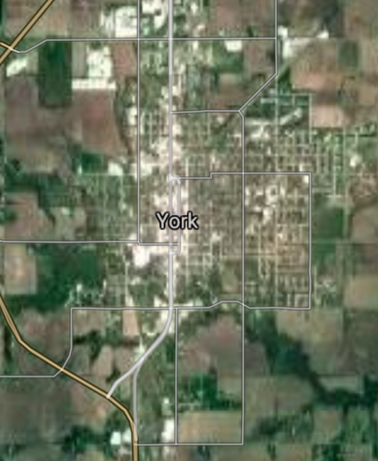
York [*elevation ceiling = 40km]Elevation: 489m (Group 145)
UR-100N (SLBM) |
Point A: 41.826362 00
Point B: 41.544698 00
Point C: 40.867392 00(300kt)
Point D: 40.196670 00
Point E: 40.676575 00
Point F: 41.200257 00
|
Point A: -103.657762 00
Point B: -96.135070 00
Point C: -97.592087 00(300kt)
Point D: -100.624874 00
Point E: -95.859362 00
Point F: -96.031987 00
|
|
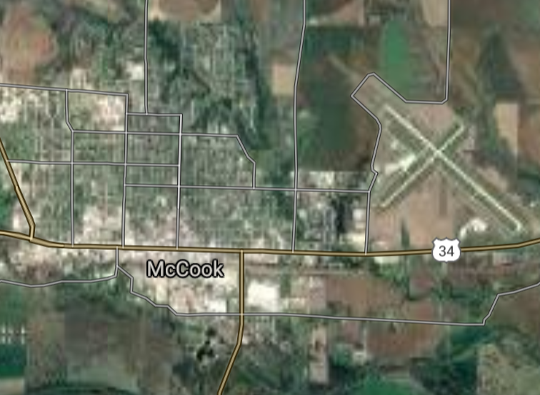
McCook [*elevation ceiling = 40km]Elevation: 764m (Group 145)
UR-100N (SLBM) |
Point A: 41.826362 00
Point B: 41.544698 00
Point C: 40.867392 00
Point D: 40.196670 00(300kt)
Point E: 40.676575 00
Point F: 41.200257 00
|
Point A: -103.657762 00
Point B: -96.135070 00
Point C: -97.592087 00
Point D: -100.624874 00(300kt)
Point E: -95.859362 00
Point F: -96.031987 00
|
|
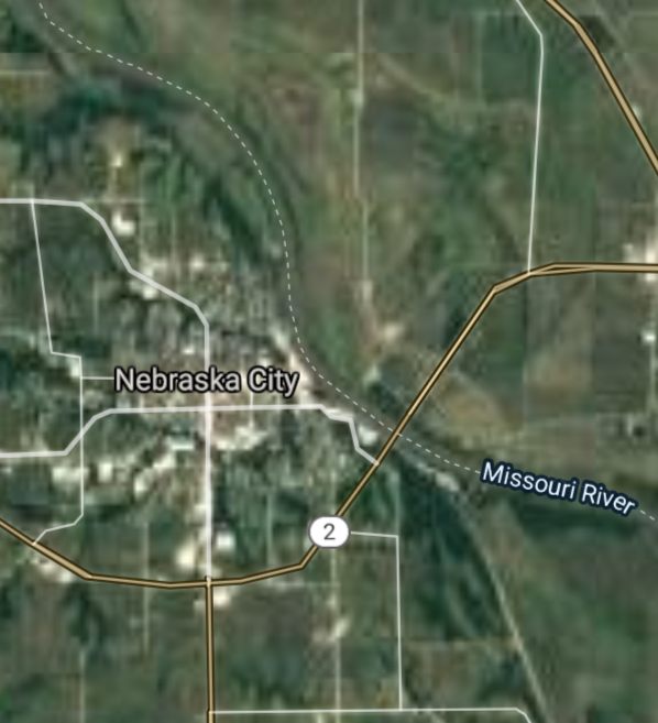
Nebraska City [*elevation ceiling = 40km]Elevation: 321m (Group 145)
UR-100N (SLBM) |
Point A: 41.826362 00
Point B: 41.544698 00
Point C: 40.867392 00
Point D: 40.196670 00
Point E: 40.676575 00(300kt)
Point F: 41.200257 00
|
Point A: -103.657762 00
Point B: -96.135070 00
Point C: -97.592087 00
Point D: -100.624874 00
Point E: -95.859362 00(300kt)
Point F: -96.031987 00
|
|
Ralston [*elevation ceiling = 40km]Elevation: 324m (Group 145)
UR-100N (SLBM) |
Point A: 41.826362 00
Point B: 41.544698 00
Point C: 40.867392 00
Point D: 40.196670 00
Point E: 40.676575 00
Point F: 41.200257 00(300kt)
|
Point A: -103.657762 00
Point B: -96.135070 00
Point C: -97.592087 00
Point D: -100.624874 00
Point E: -95.859362 00
Point F: -96.031987 00(300kt)
|
|
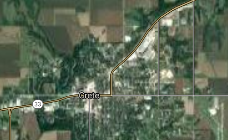
Crete [*elevation ceiling = 40km]Elevation: 412m (Group 146)
UR-100N (SLBM) |
Point A: 40.625217 00(300kt)
Point B: 40.907878 00
Point C: 41.144822 00
Point D: 41.011110 00
Point E: 41.448343 00
Point F: 42.829419 00
|
Point A: -96.961514 00(300kt)
Point B: -97.098493 00
Point C: -102.977450 00
Point D: -95.880842 00
Point E: -97.059702 00
Point F: -102.999907 00
|
|
Seward [*elevation ceiling = 40km]Elevation: 455m (Group 146)
UR-100N (SLBM) |
Point A: 40.625217 00
Point B: 40.907878 00(300kt)
Point C: 41.144822 00
Point D: 41.011110 00
Point E: 41.448343 00
Point F: 42.829419 00
|
Point A: -96.961514 00
Point B: -97.098493 00(300kt)
Point C: -102.977450 00
Point D: -95.880842 00
Point E: -97.059702 00
Point F: -102.999907 00
|
|
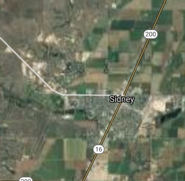
Sidney [*elevation ceiling = 40km]Elevation: 1246m (Group 146)
UR-100N (SLBM) |
Point A: 40.625217 00
Point B: 40.907878 00
Point C: 41.144822 00(300kt)
Point D: 41.011110 00
Point E: 41.448343 00
Point F: 42.829419 00
|
Point A: -96.961514 00
Point B: -97.098493 00
Point C: -102.977450 00(300kt)
Point D: -95.880842 00
Point E: -97.059702 00
Point F: -102.999907 00
|
|
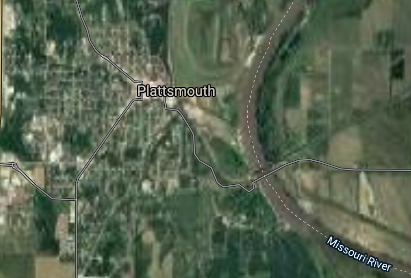
Plattsmouth [*elevation ceiling = 40km]Elevation: 295m (Group 146)
UR-100N (SLBM) |
Point A: 40.625217 00
Point B: 40.907878 00
Point C: 41.144822 00
Point D: 41.011110 00(300kt)
Point E: 41.448343 00
Point F: 42.829419 00
|
Point A: -96.961514 00
Point B: -97.098493 00
Point C: -102.977450 00
Point D: -95.880842 00(300kt)
Point E: -97.059702 00
Point F: -102.999907 00
|
|
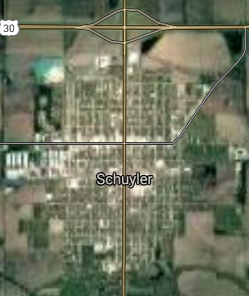
Schuyler [*elevation ceiling = 40km]Elevation: 412m (Group 146)
UR-100N (SLBM) |
Point A: 40.625217 00
Point B: 40.907878 00
Point C: 41.144822 00
Point D: 41.011110 00
Point E: 41.448343 00(300kt)
Point F: 42.829419 00
|
Point A: -96.961514 00
Point B: -97.098493 00
Point C: -102.977450 00
Point D: -95.880842 00
Point E: -97.059702 00(300kt)
Point F: -102.999907 00
|
|
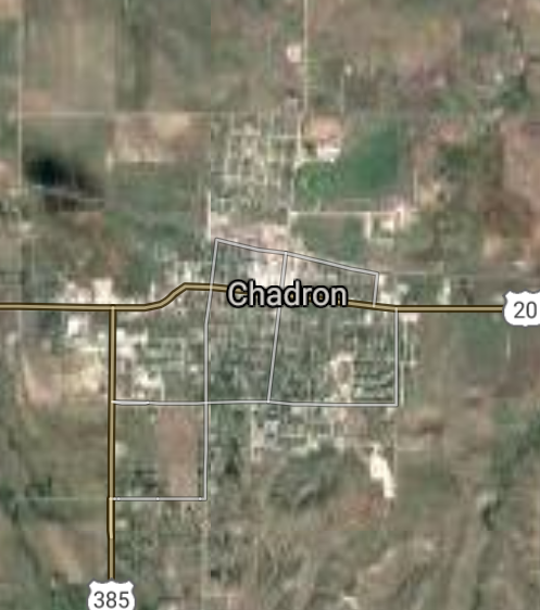
Chadron [*elevation ceiling = 40km]Elevation: 1030m (Group 146)
UR-100N (SLBM) |
Point A: 40.625217 00
Point B: 40.907878 00
Point C: 41.144822 00
Point D: 41.011110 00
Point E: 41.448343 00
Point F: 42.829419 00(300kt)
|
Point A: -96.961514 00
Point B: -97.098493 00
Point C: -102.977450 00
Point D: -95.880842 00
Point E: -97.059702 00
Point F: -102.999907 00(300kt)
|
|
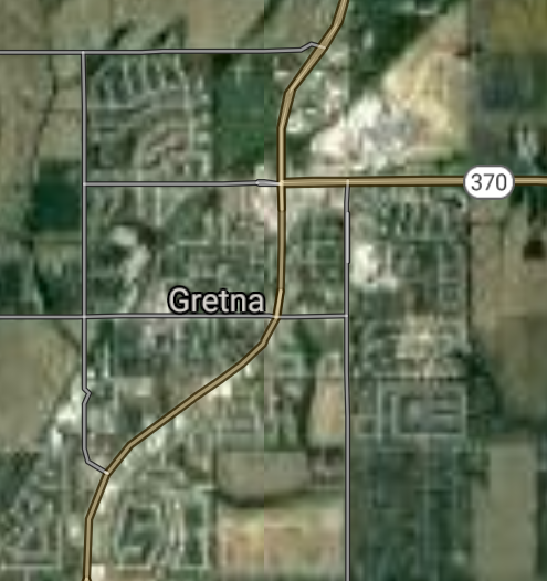
Gretna [*elevation ceiling = 40km]Elevation: 392m (Group 147)
UR-100N (SLBM) |
Point A: 41.140455 00(300kt)
Point B: 42.230559 00
Point C: 40.440289 00
Point D: 41.128218 00
Point E: 41.211502 00
Point F: 40.867242 00
|
Point A: -96.243684 00(300kt)
Point B: -97.017824 00
Point C: -99.369822 00
Point D: -101.720399 00
Point E: -96.621260 00
Point F: -98.003003 00
|
|
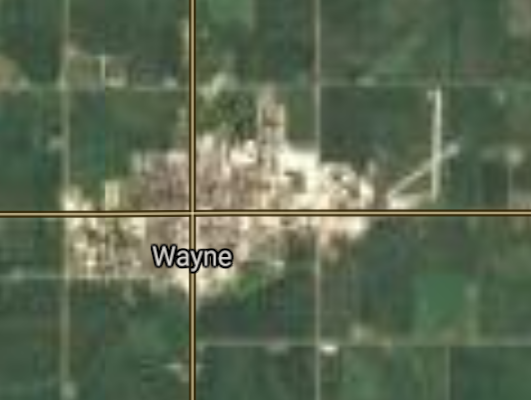
Wayne [*elevation ceiling = 40km]Elevation: 443m (Group 147)
UR-100N (SLBM) |
Point A: 41.140455 00
Point B: 42.230559 00(300kt)
Point C: 40.440289 00
Point D: 41.128218 00
Point E: 41.211502 00
Point F: 40.867242 00
|
Point A: -96.243684 00
Point B: -97.017824 00(300kt)
Point C: -99.369822 00
Point D: -101.720399 00
Point E: -96.621260 00
Point F: -98.003003 00
|
|
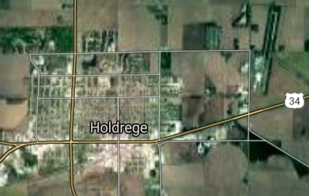
Holdrege [*elevation ceiling = 40km]Elevation: 710m (Group 147)
UR-100N (SLBM) |
Point A: 41.140455 00
Point B: 42.230559 00
Point C: 40.440289 00(300kt)
Point D: 41.128218 00
Point E: 41.211502 00
Point F: 40.867242 00
|
Point A: -96.243684 00
Point B: -97.017824 00
Point C: -99.369822 00(300kt)
Point D: -101.720399 00
Point E: -96.621260 00
Point F: -98.003003 00
|
|
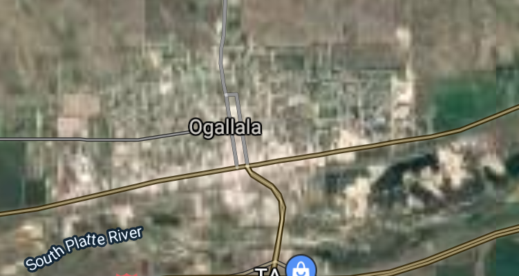
Ogallala [*elevation ceiling = 40km]Elevation: 982m (Group 147)
UR-100N (SLBM) |
Point A: 41.140455 00
Point B: 42.230559 00
Point C: 40.440289 00
Point D: 41.128218 00(300kt)
Point E: 41.211502 00
Point F: 40.867242 00
|
Point A: -96.243684 00
Point B: -97.017824 00
Point C: -99.369822 00
Point D: -101.720399 00(300kt)
Point E: -96.621260 00
Point F: -98.003003 00
|
|
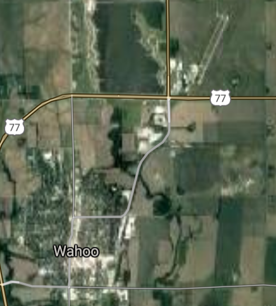
Wahoo [*elevation ceiling = 40km]Elevation: 365m (Group 147)
UR-100N (SLBM) |
Point A: 41.140455 00
Point B: 42.230559 00
Point C: 40.440289 00
Point D: 41.128218 00
Point E: 41.211502 00(300kt)
Point F: 40.867242 00
|
Point A: -96.243684 00
Point B: -97.017824 00
Point C: -99.369822 00
Point D: -101.720399 00
Point E: -96.621260 00(300kt)
Point F: -98.003003 00
|
|
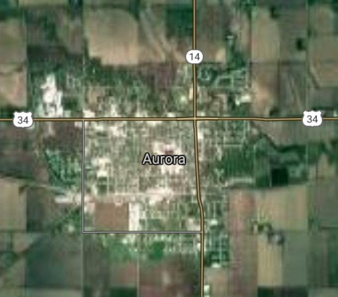
Aurora [*elevation ceiling = 40km]Elevation: 544m (Group 147)
UR-100N (SLBM) |
Point A: 41.140455 00
Point B: 42.230559 00
Point C: 40.440289 00
Point D: 41.128218 00
Point E: 41.211502 00
Point F: 40.867242 00(300kt)
|
Point A: -96.243684 00
Point B: -97.017824 00
Point C: -99.369822 00
Point D: -101.720399 00
Point E: -96.621260 00
Point F: -98.003003 00(300kt)
|
|
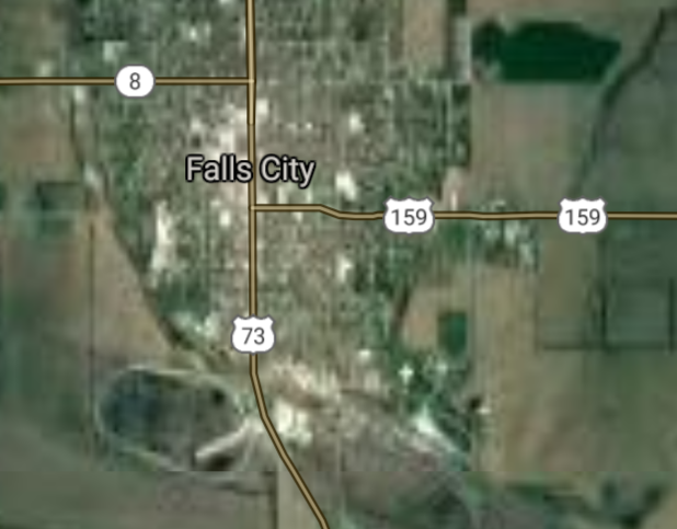
Falls City [*elevation ceiling = 40km]Elevation: 308m (Group 148)
UR-100N (SLBM) |
Point A: 40.060835 00(300kt)
Point B: 40.856396 00
Point C: 40.146617 00
Point D: 42.457672 00
Point E: 40.917221 00
Point F: 40.927661 00
|
Point A: -95.601929 00(300kt)
Point B: -99.985678 00
Point C: -97.179846 00
Point D: -98.647888 00
Point E: -96.527231 00
Point F: -100.160698 00
|
|
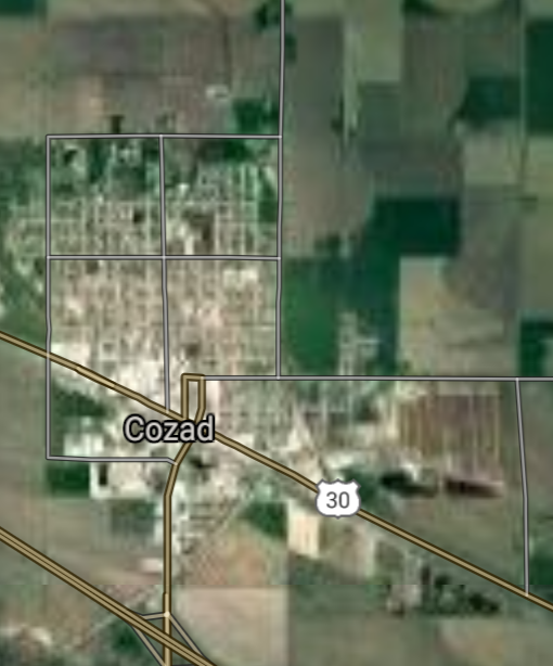
Cozad [*elevation ceiling = 40km]Elevation: 758m (Group 148)
UR-100N (SLBM) |
Point A: 40.060835 00
Point B: 40.856396 00(300kt)
Point C: 40.146617 00
Point D: 42.457672 00
Point E: 40.917221 00
Point F: 40.927661 00
|
Point A: -95.601929 00
Point B: -99.985678 00(300kt)
Point C: -97.179846 00
Point D: -98.647888 00
Point E: -96.527231 00
Point F: -100.160698 00
|
|
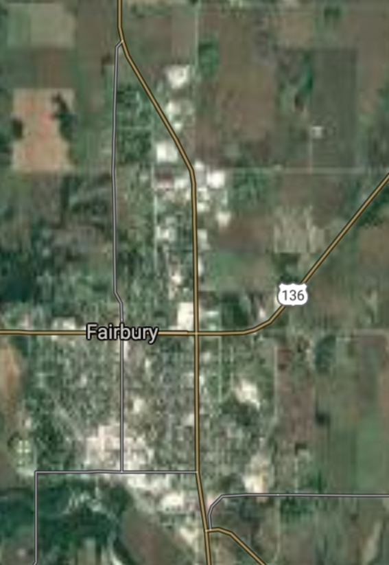
Fairbury [*elevation ceiling = 40km]Elevation: 427m (Group 148)
UR-100N (SLBM) |
Point A: 40.060835 00
Point B: 40.856396 00
Point C: 40.146617 00(300kt)
Point D: 42.457672 00
Point E: 40.917221 00
Point F: 40.927661 00
|
Point A: -95.601929 00
Point B: -99.985678 00
Point C: -97.179846 00(300kt)
Point D: -98.647888 00
Point E: -96.527231 00
Point F: -100.160698 00
|
|
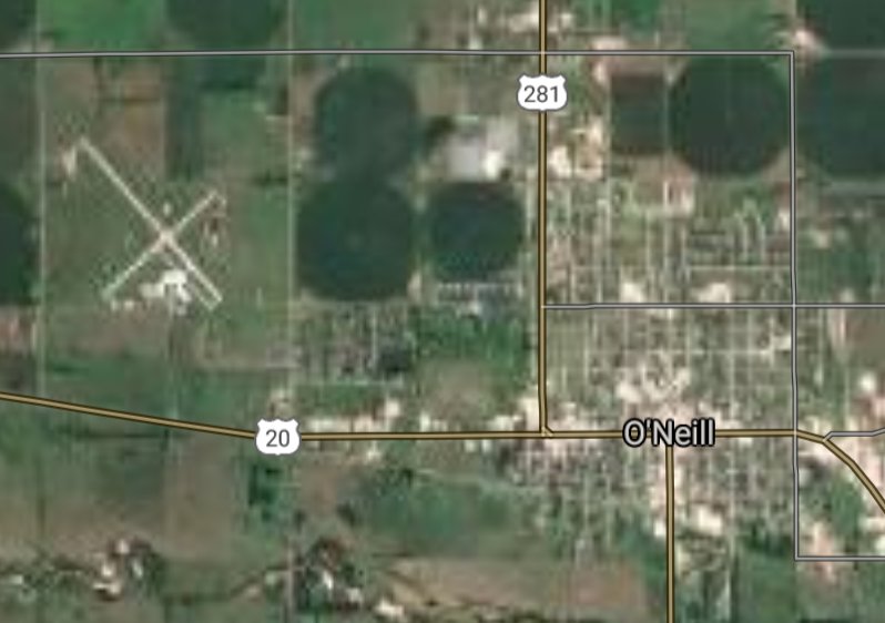
O'Neill [*elevation ceiling = 40km]Elevation: 605m (Group 148)
UR-100N (SLBM) |
Point A: 40.060835 00
Point B: 40.856396 00
Point C: 40.146617 00
Point D: 42.457672 00(300kt)
Point E: 40.917221 00
Point F: 40.927661 00
|
Point A: -95.601929 00
Point B: -99.985678 00
Point C: -97.179846 00
Point D: -98.647888 00(300kt)
Point E: -96.527231 00
Point F: -100.160698 00
|
|
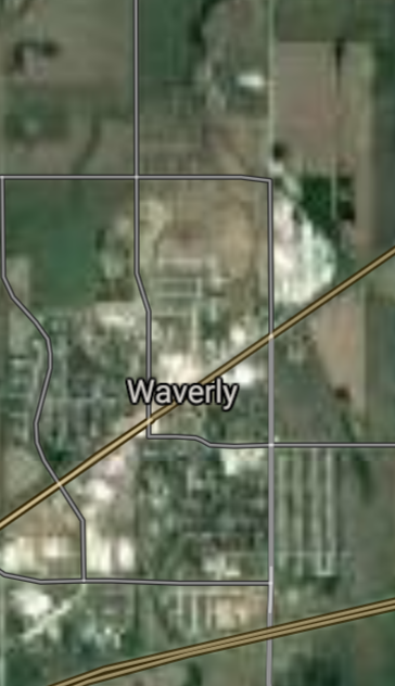
Waverly [*elevation ceiling = 40km]Elevation: 342m (Group 148)
UR-100N (SLBM) |
Point A: 40.060835 00
Point B: 40.856396 00
Point C: 40.146617 00
Point D: 42.457672 00
Point E: 40.917221 00(300kt)
Point F: 40.927661 00
|
Point A: -95.601929 00
Point B: -99.985678 00
Point C: -97.179846 00
Point D: -98.647888 00
Point E: -96.527231 00(300kt)
Point F: -100.160698 00
|
|
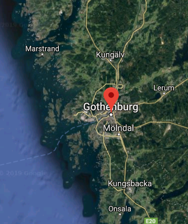
Gothenburg [*elevation ceiling = 40km]Elevation: 782m (Group 148)
UR-100N (SLBM) |
Point A: 40.060835 00
Point B: 40.856396 00
Point C: 40.146617 00
Point D: 42.457672 00
Point E: 40.917221 00
Point F: 40.927661 00(300kt)
|
Point A: -95.601929 00
Point B: -99.985678 00
Point C: -97.179846 00
Point D: -98.647888 00
Point E: -96.527231 00
Point F: -100.160698 00(300kt)
|
|
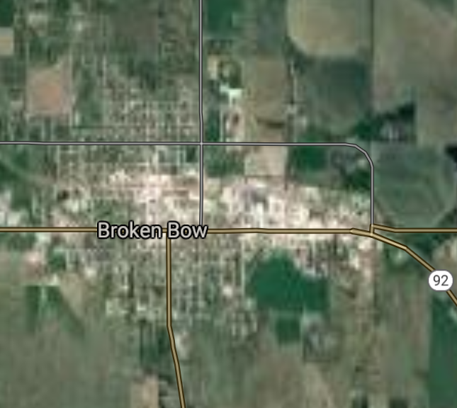
Broken Bow [*elevation ceiling = 40km]Elevation: 755m (Group 149)
UR-100N (SLBM) |
Point A: 41.401787 00(300kt)
Point B: 40.394724 00
Point C: 41.841666 00
Point D: 40.498625 00
Point E: 41.115848 00
Point F: 41.252791 00
|
Point A: -99.641224 00(300kt)
Point B: -95.832219 00
Point C: -96.708643 00
Point D: -98.947859 00
Point E: -98.001725 00
Point F: -97.130037 00
|
|
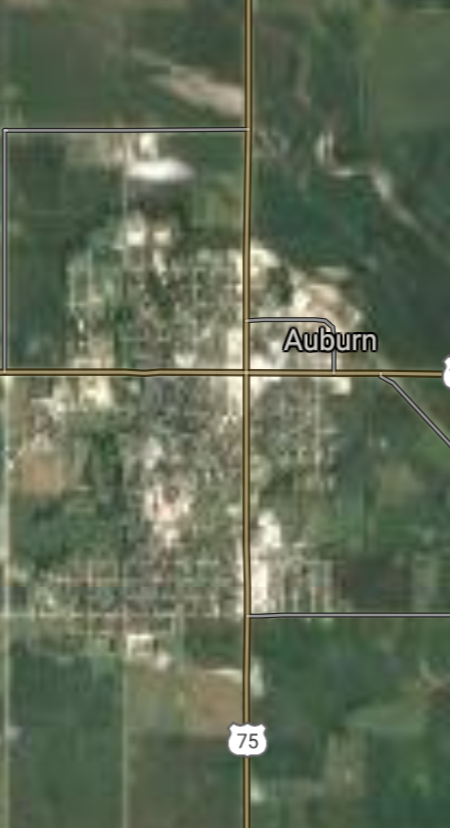
Auburn [*elevation ceiling = 40km]Elevation: 283m (Group 149)
UR-100N (SLBM) |
Point A: 41.401787 00
Point B: 40.394724 00(300kt)
Point C: 41.841666 00
Point D: 40.498625 00
Point E: 41.115848 00
Point F: 41.252791 00
|
Point A: -99.641224 00
Point B: -95.832219 00(300kt)
Point C: -96.708643 00
Point D: -98.947859 00
Point E: -98.001725 00
Point F: -97.130037 00
|
|
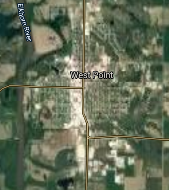
West Point [*elevation ceiling = 40km]Elevation: 412m (Group 149)
UR-100N (SLBM) |
Point A: 41.401787 00
Point B: 40.394724 00
Point C: 41.841666 00(300kt)
Point D: 40.498625 00
Point E: 41.115848 00
Point F: 41.252791 00
|
Point A: -99.641224 00
Point B: -95.832219 00
Point C: -96.708643 00(300kt)
Point D: -98.947859 00
Point E: -98.001725 00
Point F: -97.130037 00
|
|
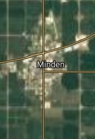
Minden [*elevation ceiling = 40km]Elevation: 662m (Group 149)
UR-100N (SLBM) |
Point A: 41.401787 00
Point B: 40.394724 00
Point C: 41.841666 00
Point D: 40.498625 00(300kt)
Point E: 41.115848 00
Point F: 41.252791 00
|
Point A: -99.641224 00
Point B: -95.832219 00
Point C: -96.708643 00
Point D: -98.947859 00(300kt)
Point E: -98.001725 00
Point F: -97.130037 00
|
|
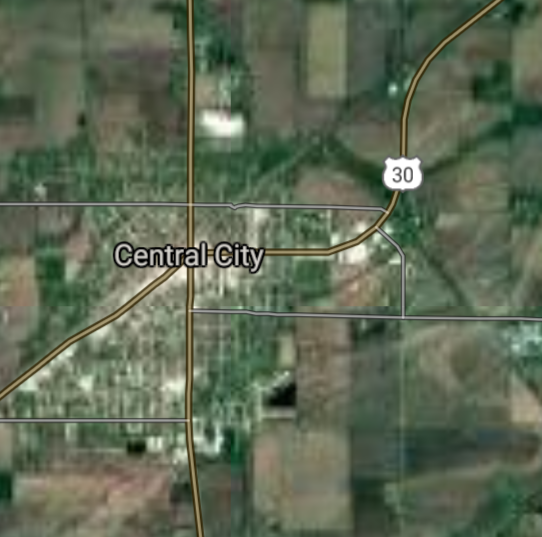
Central City [*elevation ceiling = 40km]Elevation: 518m (Group 149)
UR-100N (SLBM) |
Point A: 41.401787 00
Point B: 40.394724 00
Point C: 41.841666 00
Point D: 40.498625 00
Point E: 41.115848 00(300kt)
Point F: 41.252791 00
|
Point A: -99.641224 00
Point B: -95.832219 00
Point C: -96.708643 00
Point D: -98.947859 00
Point E: -98.001725 00(300kt)
Point F: -97.130037 00
|
|
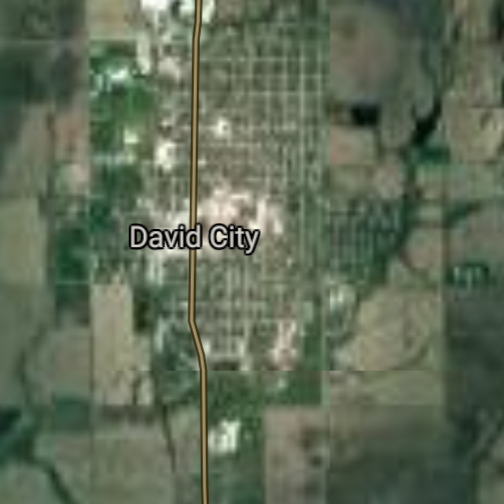
David City [*elevation ceiling = 40km]Elevation: 492m (Group 149)
UR-100N (SLBM) |
Point A: 41.401787 00
Point B: 40.394724 00
Point C: 41.841666 00
Point D: 40.498625 00
Point E: 41.115848 00
Point F: 41.252791 00(300kt)
|
Point A: -99.641224 00
Point B: -95.832219 00
Point C: -96.708643 00
Point D: -98.947859 00
Point E: -98.001725 00
Point F: -97.130037 00(300kt)
|

[Top]
Situation: Central Basin
"BRICS Security Council emerging from cross-currency evaluations"
OPEN Start: Central Basin - is an engineering vessel which is proven with climate security in evaluation of the USD/YEN currency pair. Annually, climate security is leading economic growth in key emerging markets surrounding the Four Asian Tigers. Affordably, the following industries extend opportunities for military cooperation: aerospace, telecommunications, finance and banking. OPEN Start: Central Basin strengthens the backbone for international security beyond the shadows of USD/YEN controversy. Traversely, OPEN Start: Central Basin offsets the cross-over gap between the USD/MXN and USD/RUB exchange rates. Notably, the Three Amigas form an economic alliance in the Far West through joint-cooperation projects from Venture 1, Venture LA and Venture SF which all extend with the Far North reach towards the Far South (as illustrated below).
![]()
![]()
![]()
![]()
![]()
![]()
![]()
![]()
![]()
JanuaryFebruaryMarchAprilJuneJulySeptemberOctoberDecember |
2026 Group Drills - Schedule
|
|

JanuaryFebruaryJuneJulyAugustOctoberNovemberDecember |
2026 Group Drills - Schedule
|
|

JanuaryFebruaryJuneJulySeptemberOctoberNovemberDecember |
2026 Group Drills - Schedule
|
|
