

 OPEN Start


 Hollywood, JSC
Mendocino, JSC
LA SOCIETY
SF SOCIETY
NY SOCIETY
Open START Drills
Hollywood, JSC
Mendocino, JSC
LA SOCIETY
SF SOCIETY
NY SOCIETY
Open START Drills
Talk Daily Commodities Review LATPACT Open Market Equities Report Currency Central
 Situation: US
 |

|

|

|
|
 SOCIETY Trust Fund LATPACT Trust Fund LATPACT Open Market Far West (SEZ) Trust RIM of Nations Trust
Arctic Pact Trade Zone | Upper Rhine Zone | Lower Rhine Zone | Middle Rhone Basin
| Level 2 - Open START/*Super Grid |
| Level 3 - Stellar Fields |


Climate Central News & Information
 "US attempts to salvage the European Order with a K-9 Squad clan style coalition"
Population Conversations: 2,886,262
Planet Power Seconds
 BRICS Security Council
 Military cooperation is exceedingly pressing ahead in notable markets from China, Russia and India which include achieving greater milestones within the technology, communications, and aerospace industries. Vastly, multi-national alliances continue to expand as relying on new protocols oppose resistance with deregulation in the spheres of international security and terrorism. As a result, the BRICS Security Council is forming several key initiatives from climate security to preserve and harness the skills with establishing a polar-arc posture in outer space.
In contrast, a grave decline in NATO has been detected. In early 2018, UNITED STATES ARMY COMMANDER, GENERAL CURTIS M. SCAPARROTTI delivered the posture statement for NATO. He stated, "As our most significant trading partner, Europe is vital to promoting American prosperity. With shared history and values, Europe is also a critical partner in advancing American influence throughout the world. The North Atlantic Treaty Organization (NATO) enables us to preserve peace through strength as alliance unity fundamentally deters the aggression of potential adversaries." Meanwhile, NATO readiness is faltering in Europe as lack of training, inadequate funding and outdated equipment persist over the Brexit strategy.
United Nations Command: AUKUSA/Quad 4
 Extensively, the Central Basin is transforming international security while disabling NATO, AUKUSA and the Quad 4 military alliances with the Open START Hawaii and Open START Alaska drills. Inherently, the Central Basin fleet suppresses the UN Command over security backlogs as the Global South impedes expansion for the Japanese yen. Economically, the US dollar bounds NATO, AUKUSA and the Quad 4 alliances under one entity in the wake of the 2007 housing crises, COVID-19 recovery and war in Ukraine. Generously, the Upper Rhine pass bridges the Open START Hawaii and Open START Alaska drills which stabilize international and climate security. Uniquely, Open START drills for the Upper Rhine pass pegs the value of the Japanese yen and Korean Won to the Chinese yuan, Indian rupee, Russian ruble, and Mexican peso to enable economic transformation for the Central Basin region. Effectively, the Open START drill secures the yen in cooperation with the Global South as significant growth on the New Silk Road Economic Belt extends in Africa. Suitably, the Open START drill baffles the UN Command with the Upper Rhine pass as the historical value is at stake. Judiciously, the Open START drill isolates the UN Command over Level 1 protocol which underpins NATO, AUKUSA and the Quad 4 military alliances to Celtic Briton tribes.
The OSCE and NATO: From the Arctic Circle
 Historically, military conflicts include land navigation rivalry which is significant for the Lower Rhine corridor as tensions between the Eastern and Western hemisphere ignite over political testimony. Substantially, the US has interspersed armed forces in the EU with the connivance of NATO and the OSCE to subjugate the Arctic Circle and dominate international trade from the Middle East. Tacitly, the OSCE is equipped to engineer early warnings, conflict resolution and crisis management over military tensions with NATO to inseminate the world order of law and justice. Decisively, the Open START Iceland drill unify the corners of the world to combat the historical West from the Arctic Circle over climate security, war crimes and crimes against humanity. Particularly, normalized ties to Israel for the Lower Rhine corridor weighs over rising Eastern influence from the Near East which is a major factor in the Open START Iceland drill. Efficiently, the Open START Iceland drill balances political, economic and military parity between the historical East and West which is threatened from the incumbency of trade sanctions and escalating military tensions in the West.
*Schedule of Nuclear Attack
Be advised: The specific plan of attack for Minnesota is sensitive and will be posted here closer to its scheduled strike.
Minnesota
AL* | AZ* | AR* | CO | CT | DE | FL | GA | ID | IN | IA | KS | KY | LA | ME | MD
MA | MI | MN | MO | MT | NE | NV | NH | NJ | NM | NY | NC | ND | OH | OK | OR | PA | RI | SC
SD | TN | TX | UT | VA (DC)** | VT** | WA** | WV** | WI** | WY**
*Central Fleet South  Bulava + RT23 Cadet + Vysota3
Team: Memphis Fire (Local Area Control)
**Central Fleet North Bulava + Surya + Vysota3
Open START (RKS) |
Groups UR110 - UR117 | *300kt | Millineum Power *4,000 MW
Level 1 - WA Dong (SIT.2) 
Minnesota |
Latitude Coordinate |
Longitude Coordinate |
|
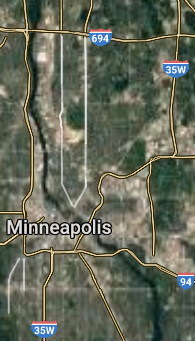
Minneapolis [*elevation ceiling = 40km]Elevation: 255m (Group 110)
UR-100N (SLBM) |
Point A: 44.977753 00(300kt)
Point B: 44.953703 00
Point C: 44.012122 00
Point D: 46.786672 00
Point E: 44.840798 00
Point F: 45.094132 00
Open START Passages |
Point A: -93.265011 00(300kt)
Point B: -93.089958 00
Point C: -92.480199 00
Point D: -92.100485 00
Point E: -93.298280 00
Point F: -93.356340 00
Demonstration |
|
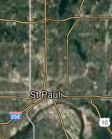
Saint Paul [*elevation ceiling = 40km]Elevation: 229m (Group 110)
UR-100N (SLBM) |
Point A: 44.977753 00
Point B: 44.953703 00(300kt)
Point C: 44.012122 00
Point D: 46.786672 00
Point E: 44.840798 00
Point F: 45.094132 00
|
Point A: -93.265011 00
Point B: -93.089958 00(300kt)
Point C: -92.480199 00
Point D: -92.100485 00
Point E: -93.298280 00
Point F: -93.356340 00
|
|
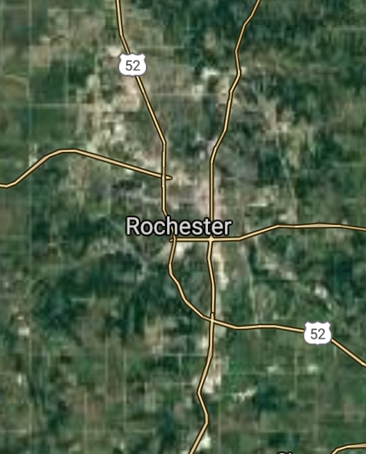
Rochester [*elevation ceiling = 40km]Elevation: 340m (Group 110)
UR-100N (SLBM) |
Point A: 44.977753 00
Point B: 44.953703 00
Point C: 44.012122 00(300kt)
Point D: 46.786672 00
Point E: 44.840798 00
Point F: 45.094132 00
|
Point A: -93.265011 00
Point B: -93.089958 00
Point C: -92.480199 00(300kt)
Point D: -92.100485 00
Point E: -93.298280 00
Point F: -93.356340 00
|
|
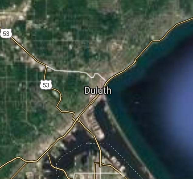
Duluth [*elevation ceiling = 40km]Elevation: 201m (Group 110)
UR-100N (SLBM) |
Point A: 44.977753 00
Point B: 44.953703 00
Point C: 44.012122 00
Point D: 46.786672 00(300kt)
Point E: 44.840798 00
Point F: 45.094132 00
|
Point A: -93.265011 00
Point B: -93.089958 00
Point C: -92.480199 00
Point D: -92.100485 00(300kt)
Point E: -93.298280 00
Point F: -93.356340 00
|
|
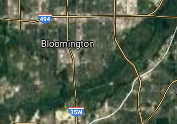
Bloomington [*elevation ceiling = 40km]Elevation: 253m (Group 110)
UR-100N (SLBM) |
Point A: 44.977753 00
Point B: 44.953703 00
Point C: 44.012122 00
Point D: 46.786672 00
Point E: 44.840798 00(300kt)
Point F: 45.094132 00
|
Point A: -93.265011 00
Point B: -93.089958 00
Point C: -92.480199 00
Point D: -92.100485 00
Point E: -93.298280 00(300kt)
Point F: -93.356340 00
|
|
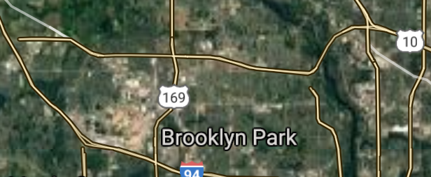
Brooklyn Park [*elevation ceiling = 40km]Elevation: 265m (Group 110)
UR-100N (SLBM) |
Point A: 44.977753 00
Point B: 44.953703 00
Point C: 44.012122 00
Point D: 46.786672 00
Point E: 44.840798 00
Point F: 45.094132 00(300kt)
|
Point A: -93.265011 00
Point B: -93.089958 00
Point C: -92.480199 00
Point D: -92.100485 00
Point E: -93.298280 00
Point F: -93.356340 00(300kt)
|
|
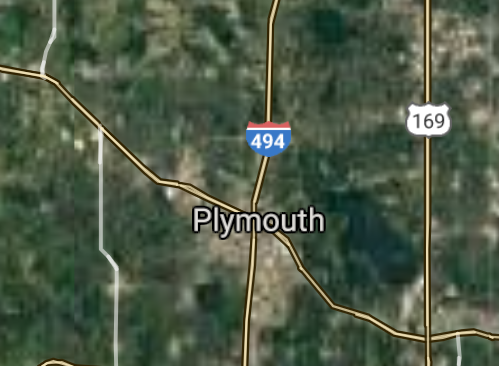
Plymouth [*elevation ceiling = 40km]Elevation: 298m (Group 111)
UR-100N (SLBM) |
Point A: 45.010519 00(300kt)
Point B: 45.072464 00
Point C: 44.923855 00
Point D: 45.557945 00
Point E: 44.804132 00
Point F: 45.160799 00
|
Point A: -93.455509 00(300kt)
Point B: -93.455788 00
Point C: -92.959380 00
Point D: -94.163240 00
Point E: -93.166886 00
Point F: -93.234949 00
|
|
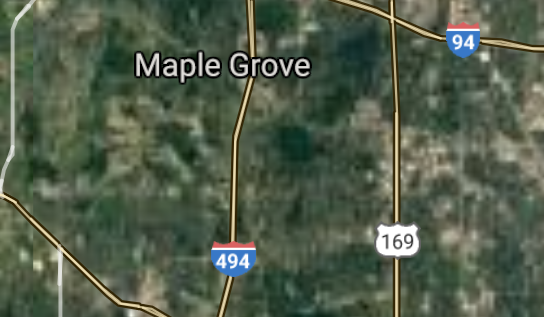
Maple Grove [*elevation ceiling = 40km]Elevation: 288m (Group 111)
UR-100N (SLBM) |
Point A: 45.010519 00
Point B: 45.072464 00(300kt)
Point C: 44.923855 00
Point D: 45.557945 00
Point E: 44.804132 00
Point F: 45.160799 00
|
Point A: -93.455509 00
Point B: -93.455788 00(300kt)
Point C: -92.959380 00
Point D: -94.163240 00
Point E: -93.166886 00
Point F: -93.234949 00
|
|
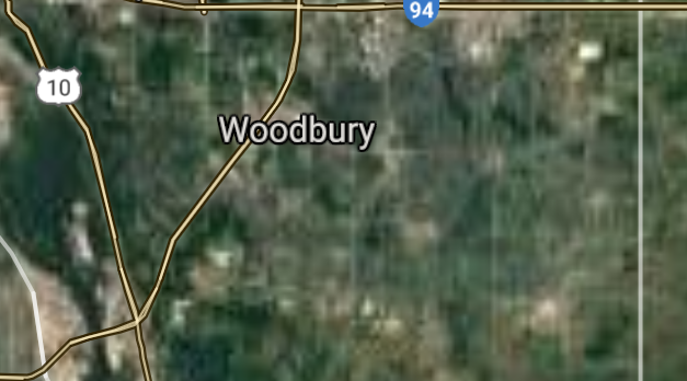
Woodbury [*elevation ceiling = 40km]Elevation: 325m (Group 111)
UR-100N (SLBM) |
Point A: 45.010519 00
Point B: 45.072464 00
Point C: 44.923855 00(300kt)
Point D: 45.557945 00
Point E: 44.804132 00
Point F: 45.160799 00
|
Point A: -93.455509 00
Point B: -93.455788 00
Point C: -92.959380 00(300kt)
Point D: -94.163240 00
Point E: -93.166886 00
Point F: -93.234949 00
|
|
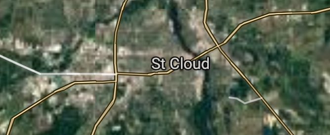
St. Cloud [*elevation ceiling = 40km]Elevation: 313m (Group 111)
UR-100N (SLBM) |
Point A: 45.010519 00
Point B: 45.072464 00
Point C: 44.923855 00
Point D: 45.557945 00(300kt)
Point E: 44.804132 00
Point F: 45.160799 00
|
Point A: -93.455509 00
Point B: -93.455788 00
Point C: -92.959380 00
Point D: -94.163240 00(300kt)
Point E: -93.166886 00
Point F: -93.234949 00
|
|
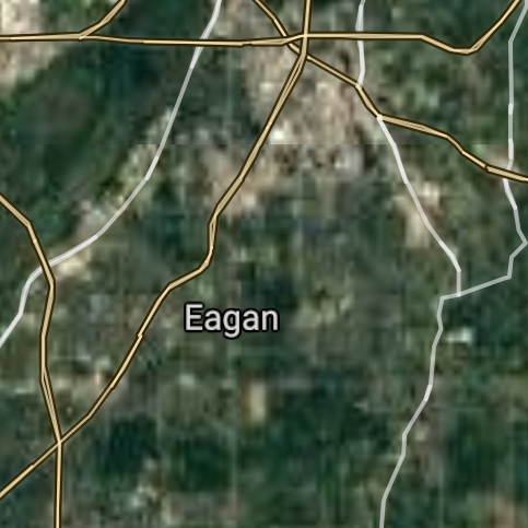
Eagan [*elevation ceiling = 40km]Elevation: 291m (Group 111)
UR-100N (SLBM) |
Point A: 45.010519 00
Point B: 45.072464 00
Point C: 44.923855 00
Point D: 45.557945 00
Point E: 44.804132 00(300kt)
Point F: 45.160799 00
|
Point A: -93.455509 00
Point B: -93.455788 00
Point C: -92.959380 00
Point D: -94.163240 00
Point E: -93.166886 00(300kt)
Point F: -93.234949 00
|
|
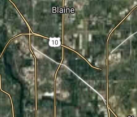
Blaine [*elevation ceiling = 40km]Elevation: 275m (Group 111)
UR-100N (SLBM) |
Point A: 45.010519 00
Point B: 45.072464 00
Point C: 44.923855 00
Point D: 45.557945 00
Point E: 44.804132 00
Point F: 45.160799 00(300kt)
|
Point A: -93.455509 00
Point B: -93.455788 00
Point C: -92.959380 00
Point D: -94.163240 00
Point E: -93.166886 00
Point F: -93.234949 00(300kt)
|
|
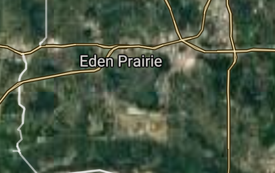
Eden Prairie [*elevation ceiling = 40km]Elevation: 270m (Group 112)
UR-100N (SLBM) |
Point A: 44.854686 00(300kt)
Point B: 44.649687 00
Point C: 45.173239 00
Point D: 44.767742 00
Point E: 44.921184 00
Point F: 44.731909 00
|
Point A: -93.470786 00(300kt)
Point B: -93.242720 00
Point C: -93.303006 00
Point D: -93.277723 00
Point E: -93.468749 00
Point F: -93.217720 00
|
|
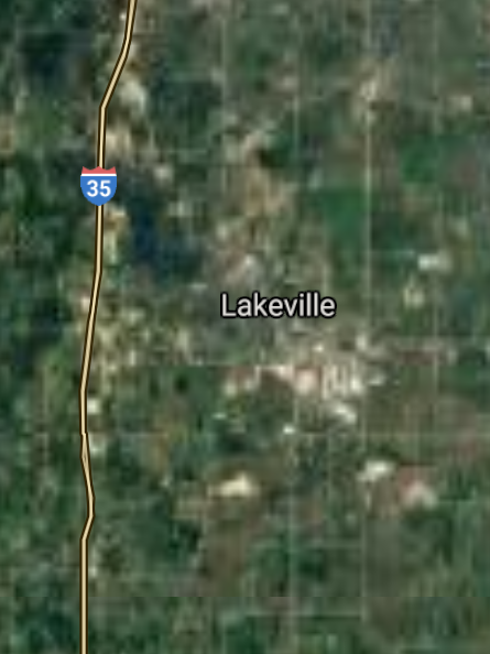
Lakeville [*elevation ceiling = 40km]Elevation: 296m (Group 112)
UR-100N (SLBM) |
Point A: 44.854686 00
Point B: 44.649687 00(300kt)
Point C: 45.173239 00
Point D: 44.767742 00
Point E: 44.921184 00
Point F: 44.731909 00
|
Point A: -93.470786 00
Point B: -93.242720 00(300kt)
Point C: -93.303006 00
Point D: -93.277723 00
Point E: -93.468749 00
Point F: -93.217720 00
|
|
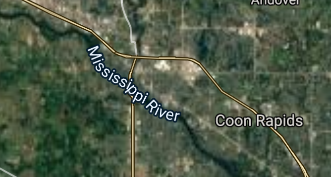
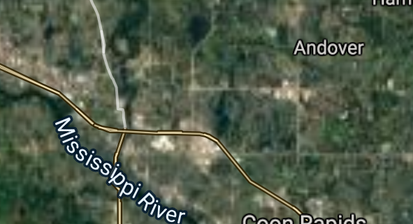
Coon Rapids [*elevation ceiling = 40km]Elevation: 262m (Group 112)
UR-100N (SLBM) |
Point A: 44.854686 00
Point B: 44.649687 00
Point C: 45.173239 00(300kt)
Point D: 44.767742 00
Point E: 44.921184 00
Point F: 44.731909 00
|
Point A: -93.470786 00
Point B: -93.242720 00
Point C: -93.303006 00(300kt)
Point D: -93.277723 00
Point E: -93.468749 00
Point F: -93.217720 00
|
|
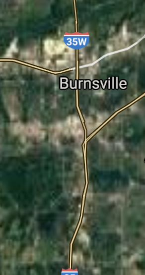
Burnsville [*elevation ceiling = 40km]Elevation: 297m (Group 112)
UR-100N (SLBM) |
Point A: 44.854686 00
Point B: 44.649687 00
Point C: 45.173239 00
Point D: 44.767742 00(300kt)
Point E: 44.921184 00
Point F: 44.731909 00
|
Point A: -93.470786 00
Point B: -93.242720 00
Point C: -93.303006 00
Point D: -93.277723 00(300kt)
Point E: -93.468749 00
Point F: -93.217720 00
|
|
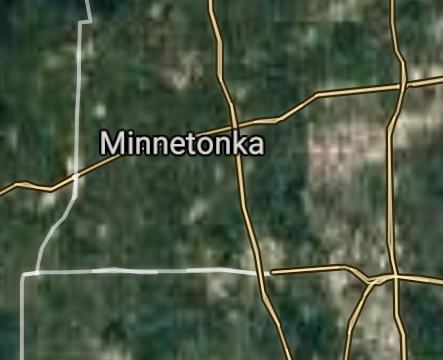
Minnetonka [*elevation ceiling = 40km]Elevation: 328m (Group 112)
UR-100N (SLBM) |
Point A: 44.854686 00
Point B: 44.649687 00
Point C: 45.173239 00
Point D: 44.767742 00
Point E: 44.921184 00(300kt)
Point F: 44.731909 00
|
Point A: -93.470786 00
Point B: -93.242720 00
Point C: -93.303006 00
Point D: -93.277723 00
Point E: -93.468749 00(300kt)
Point F: -93.217720 00
|
|
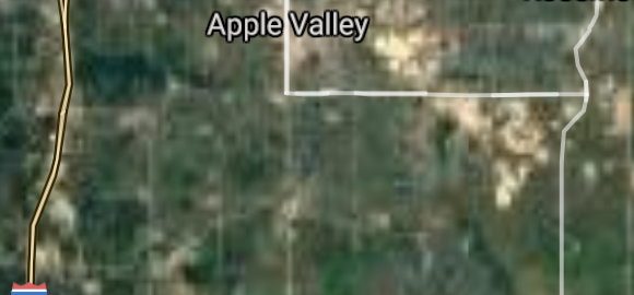
Apple Valley [*elevation ceiling = 40km]Elevation: 290m (Group 112)
UR-100N (SLBM) |
Point A: 44.854686 00
Point B: 44.649687 00
Point C: 45.173239 00
Point D: 44.767742 00
Point E: 44.921184 00
Point F: 44.731909 00(300kt)
|
Point A: -93.470786 00
Point B: -93.242720 00
Point C: -93.303006 00
Point D: -93.277723 00
Point E: -93.468749 00
Point F: -93.217720 00(300kt)
|
|
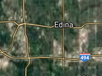
Edina [*elevation ceiling = 40km]Elevation: 279m (Group 113)
UR-100N (SLBM) |
Point A: 44.889687 00(300kt)
Point B: 44.959738 00
Point C: 46.873765 00
Point D: 44.163578 00
Point E: 44.953022 00
Point F: 44.797396 00
|
Point A: -93.349949 00(300kt)
Point B: -93.370219 00
Point C: -96.767804 00
Point D: -93.999400 00
Point E: -92.995215 00
Point F: -93.527286 00
|
|
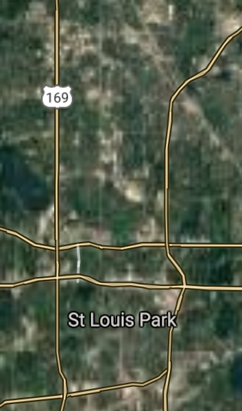
St. Louis Park [*elevation ceiling = 40km]Elevation: 272m (Group 113)
UR-100N (SLBM) |
Point A: 44.889687 00
Point B: 44.959738 00(300kt)
Point C: 46.873765 00
Point D: 44.163578 00
Point E: 44.953022 00
Point F: 44.797396 00
|
Point A: -93.349949 00
Point B: -93.370219 00(300kt)
Point C: -96.767804 00
Point D: -93.999400 00
Point E: -92.995215 00
Point F: -93.527286 00
|
|
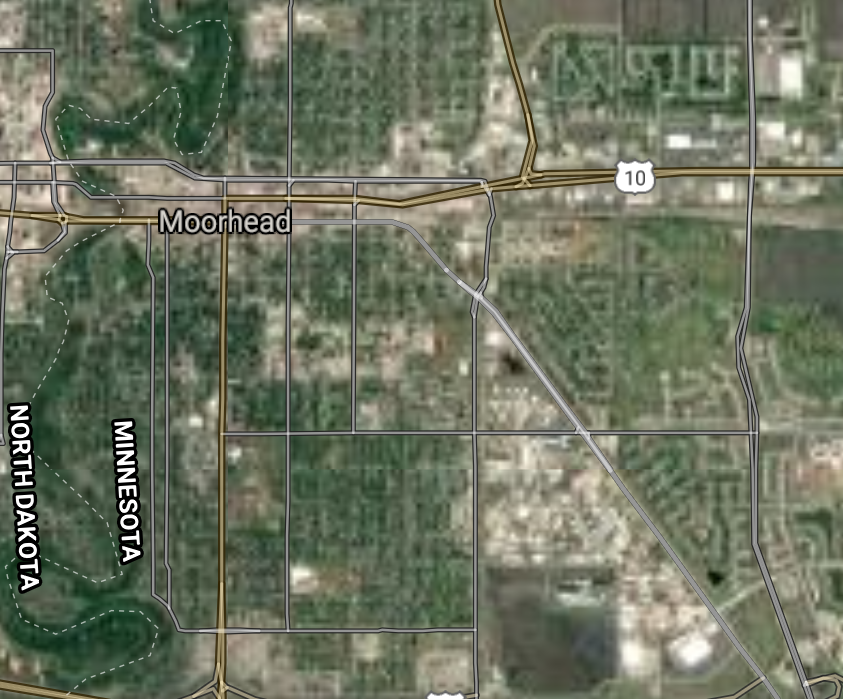
Moorhead [*elevation ceiling = 40km]Elevation: 276m (Group 113)
UR-100N (SLBM) |
Point A: 44.889687 00
Point B: 44.959738 00
Point C: 46.873765 00(300kt)
Point D: 44.163578 00
Point E: 44.953022 00
Point F: 44.797396 00
|
Point A: -93.349949 00
Point B: -93.370219 00
Point C: -96.767804 00(300kt)
Point D: -93.999400 00
Point E: -92.995215 00
Point F: -93.527286 00
|
|
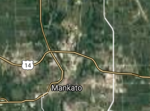
Mankato [*elevation ceiling = 40km]Elevation: 254m (Group 113)
UR-100N (SLBM) |
Point A: 44.889687 00
Point B: 44.959738 00
Point C: 46.873765 00
Point D: 44.163578 00(300kt)
Point E: 44.953022 00
Point F: 44.797396 00
|
Point A: -93.349949 00
Point B: -93.370219 00
Point C: -96.767804 00
Point D: -93.999400 00(300kt)
Point E: -92.995215 00
Point F: -93.527286 00
|
|
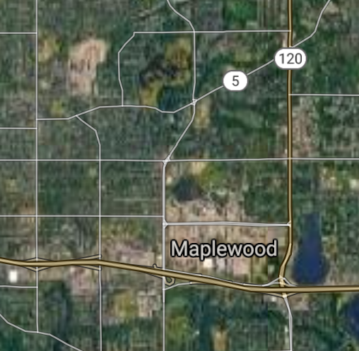
Maplewood [*elevation ceiling = 40km]Elevation: 298m (Group 113)
UR-100N (SLBM) |
Point A: 44.889687 00
Point B: 44.959738 00
Point C: 46.873765 00
Point D: 44.163578 00
Point E: 44.953022 00(300kt)
Point F: 44.797396 00
|
Point A: -93.349949 00
Point B: -93.370219 00
Point C: -96.767804 00
Point D: -93.999400 00
Point E: -92.995215 00(300kt)
Point F: -93.527286 00
|
|
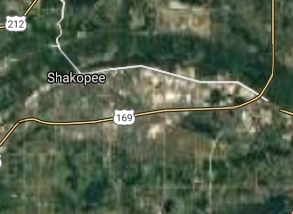
Shakopee [*elevation ceiling = 40km]Elevation: 230m (Group 113)
UR-100N (SLBM) |
Point A: 44.889687 00
Point B: 44.959738 00
Point C: 46.873765 00
Point D: 44.163578 00
Point E: 44.953022 00
Point F: 44.797396 00(300kt)
|
Point A: -93.349949 00
Point B: -93.370219 00
Point C: -96.767804 00
Point D: -93.999400 00
Point E: -92.995215 00
Point F: -93.527286 00(300kt)
|
|
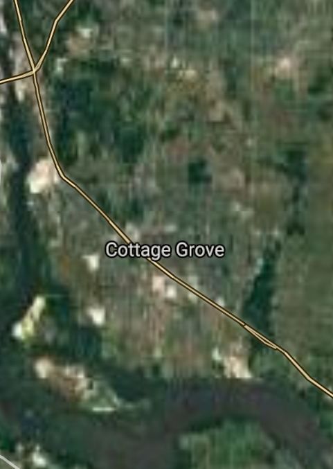
Cottage Grove [*elevation ceiling = 40km]Elevation: 248m (Group 114)
UR-100N (SLBM) |
Point A: 44.827745 00(300kt)
Point B: 45.006077 00
Point C: 44.883298 00
Point D: 44.848022 00
Point E: 45.233298 00
Point F: 44.764733 00
|
Point A: -92.943822 00(300kt)
Point B: -93.156611 00
Point C: -93.283002 00
Point D: -93.042715 00
Point E: -93.291340 00
Point F: -93.359115 00
|
|
Roseville [*elevation ceiling = 40km]Elevation: 292m (Group 114)
UR-100N (SLBM) |
Point A: 44.827745 00
Point B: 45.006077 00(300kt)
Point C: 44.883298 00
Point D: 44.848022 00
Point E: 45.233298 00
Point F: 44.764733 00
|
Point A: -92.943822 00
Point B: -93.156611 00(300kt)
Point C: -93.283002 00
Point D: -93.042715 00
Point E: -93.291340 00
Point F: -93.359115 00
|
|
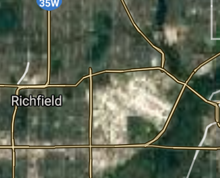
Richfield [*elevation ceiling = 40km]Elevation: 256m (Group 114)
UR-100N (SLBM) |
Point A: 44.827745 00
Point B: 45.006077 00
Point C: 44.883298 00(300kt)
Point D: 44.848022 00
Point E: 45.233298 00
Point F: 44.764733 00
|
Point A: -92.943822 00
Point B: -93.156611 00
Point C: -93.283002 00(300kt)
Point D: -93.042715 00
Point E: -93.291340 00
Point F: -93.359115 00
|
|
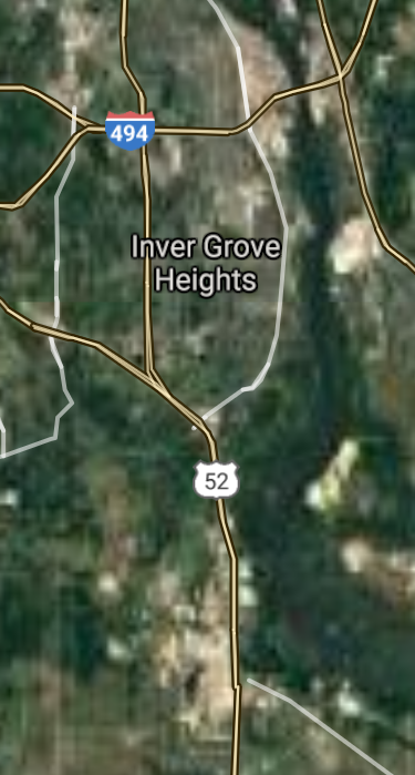
Inver Grove Heights [*elevation ceiling = 40km]Elevation: 268m (Group 114)
UR-100N (SLBM) |
Point A: 44.827745 00
Point B: 45.006077 00
Point C: 44.883298 00
Point D: 44.848022 00(300kt)
Point E: 45.233298 00
Point F: 44.764733 00
|
Point A: -92.943822 00
Point B: -93.156611 00
Point C: -93.283002 00
Point D: -93.042715 00(300kt)
Point E: -93.291340 00
Point F: -93.359115 00
|
|
Andover [*elevation ceiling = 40km]Elevation: 271m (Group 114)
UR-100N (SLBM) |
Point A: 44.827745 00
Point B: 45.006077 00
Point C: 44.883298 00
Point D: 44.848022 00
Point E: 45.233298 00(300kt)
Point F: 44.764733 00
|
Point A: -92.943822 00
Point B: -93.156611 00
Point C: -93.283002 00
Point D: -93.042715 00
Point E: -93.291340 00(300kt)
Point F: -93.359115 00
|
|
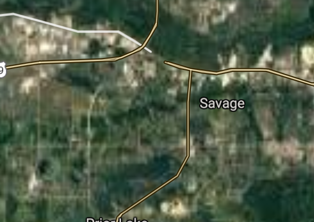
Savage [*elevation ceiling = 40km]Elevation: 270m (Group 114)
UR-100N (SLBM) |
Point A: 44.827745 00
Point B: 45.006077 00
Point C: 44.883298 00
Point D: 44.848022 00
Point E: 45.233298 00
Point F: 44.764733 00(300kt)
|
Point A: -92.943822 00
Point B: -93.156611 00
Point C: -93.283002 00
Point D: -93.042715 00
Point E: -93.291340 00
Point F: -93.359115 00(300kt)
|
|
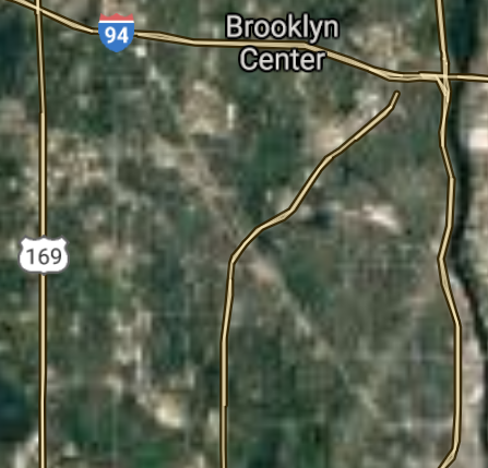
Brooklyn Center [*elevation ceiling = 40km]Elevation: 262m (Group 115)
UR-100N (SLBM) |
Point A: 45.076076 00(300kt)
Point B: 44.963022 00
Point C: 45.086077 00
Point D: 44.055391 00
Point E: 45.079133 00
Point F: 45.261100 00
|
Point A: -93.332728 00(300kt)
Point B: -92.964936 00
Point C: -93.263282 00
Point D: -91.666352 00
Point E: -93.147167 00
Point F: -93.450000 00
|
|
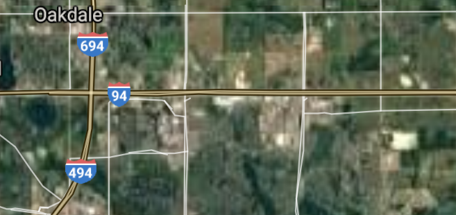
Oakdale [*elevation ceiling = 40km]Elevation: 329m (Group 115)
UR-100N (SLBM) |
Point A: 45.076076 00
Point B: 44.963022 00(300kt)
Point C: 45.086077 00
Point D: 44.055391 00
Point E: 45.079133 00
Point F: 45.261100 00
|
Point A: -93.332728 00
Point B: -92.964936 00(300kt)
Point C: -93.263282 00
Point D: -91.666352 00
Point E: -93.147167 00
Point F: -93.450000 00
|
|
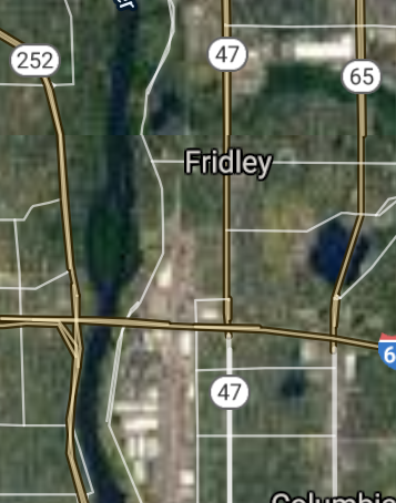
Fridley [*elevation ceiling = 40km]Elevation: 263m (Group 115)
UR-100N (SLBM) |
Point A: 45.076076 00
Point B: 44.963022 00
Point C: 45.086077 00(300kt)
Point D: 44.055391 00
Point E: 45.079133 00
Point F: 45.261100 00
|
Point A: -93.332728 00
Point B: -92.964936 00
Point C: -93.263282 00(300kt)
Point D: -91.666352 00
Point E: -93.147167 00
Point F: -93.450000 00
|
|
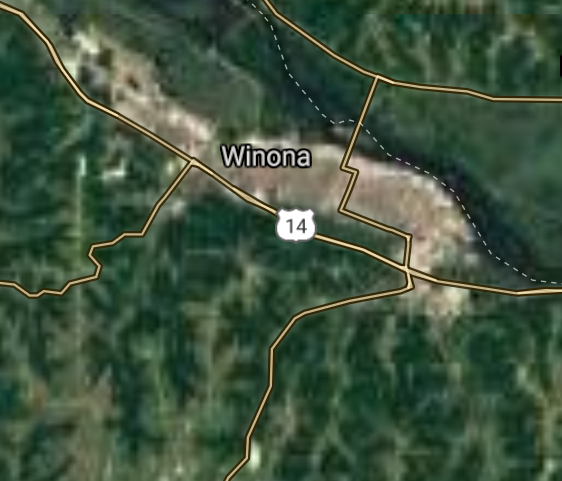
Winona [*elevation ceiling = 40km]Elevation: 205m (Group 115)
UR-100N (SLBM) |
Point A: 45.076076 00
Point B: 44.963022 00
Point C: 45.086077 00
Point D: 44.055391 00(300kt)
Point E: 45.079133 00
Point F: 45.261100 00
|
Point A: -93.332728 00
Point B: -92.964936 00
Point C: -93.263282 00
Point D: -91.666352 00(300kt)
Point E: -93.147167 00
Point F: -93.450000 00
|
|
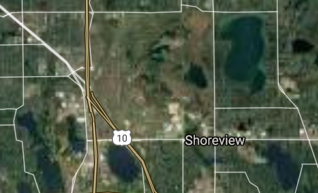
Shoreview [*elevation ceiling = 40km]Elevation: 289m (Group 115)
UR-100N (SLBM) |
Point A: 45.076076 00
Point B: 44.963022 00
Point C: 45.086077 00
Point D: 44.055391 00
Point E: 45.079133 00(300kt)
Point F: 45.261100 00
|
Point A: -93.332728 00
Point B: -92.964936 00
Point C: -93.263282 00
Point D: -91.666352 00
Point E: -93.147167 00(300kt)
Point F: -93.450000 00
|
|
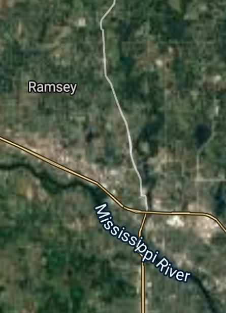
Ramsey [*elevation ceiling = 40km]Elevation: 266m (Group 115)
UR-100N (SLBM) |
Point A: 45.076076 00
Point B: 44.963022 00
Point C: 45.086077 00
Point D: 44.055391 00
Point E: 45.079133 00
Point F: 45.261100 00(300kt)
|
Point A: -93.332728 00
Point B: -92.964936 00
Point C: -93.263282 00
Point D: -91.666352 00
Point E: -93.147167 00
Point F: -93.450000 00(300kt)
|
|
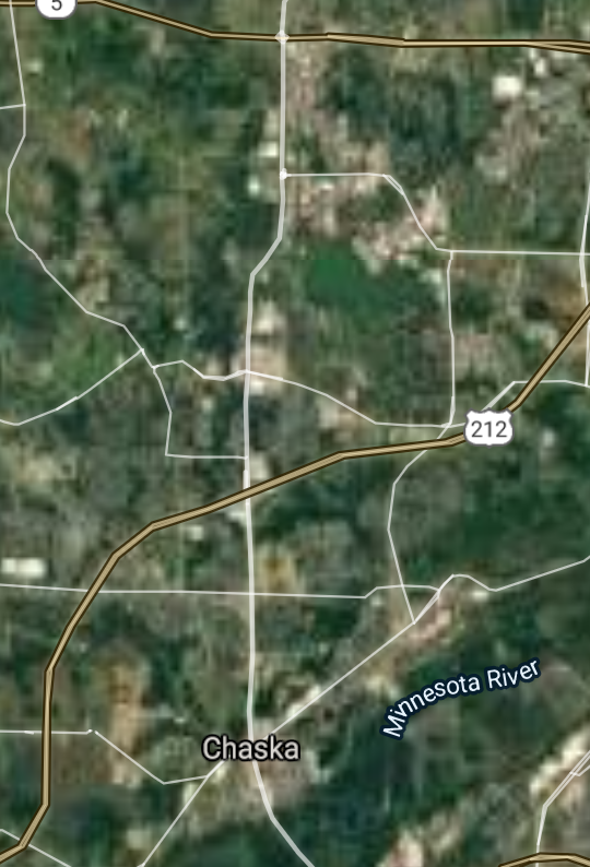
Chaska [*elevation ceiling = 40km]Elevation: 223m (Group 116)
UR-100N (SLBM) |
Point A: 44.789345 00(300kt)
Point B: 44.713297 00
Point C: 45.085381 00
Point D: 44.085557 00
Point E: 44.861965 00
Point F: 45.188854 00
|
Point A: -93.601839 00(300kt)
Point B: -93.422727 00
Point C: -93.008148 00
Point D: -93.225935 00
Point E: -93.532310 00
Point F: -93.397454 00
|
|
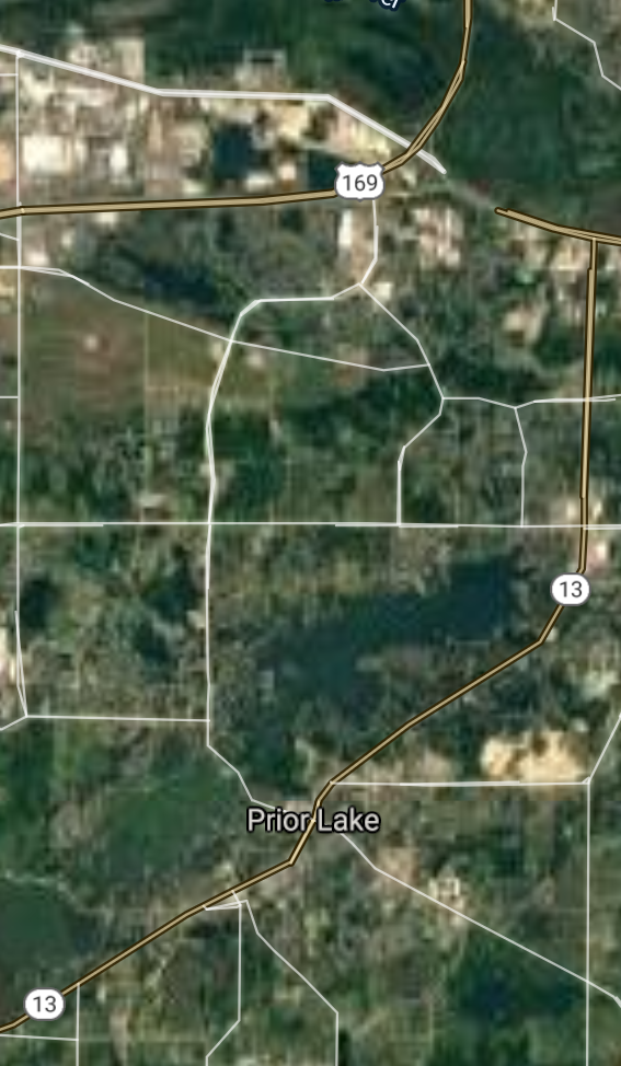
Prior Lake [*elevation ceiling = 40km]Elevation: 289m (Group 116)
UR-100N (SLBM) |
Point A: 44.789345 00
Point B: 44.713297 00(300kt)
Point C: 45.085381 00
Point D: 44.085557 00
Point E: 44.861965 00
Point F: 45.188854 00
|
Point A: -93.601839 00
Point B: -93.422727 00(300kt)
Point C: -93.008148 00
Point D: -93.225935 00
Point E: -93.532310 00
Point F: -93.397454 00
|
|
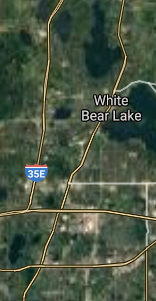
White Bear Lake [*elevation ceiling = 40km]Elevation: 286m (Group 116)
UR-100N (SLBM) |
Point A: 44.789345 00
Point B: 44.713297 00
Point C: 45.085381 00(300kt)
Point D: 44.085557 00
Point E: 44.861965 00
Point F: 45.188854 00
|
Point A: -93.601839 00
Point B: -93.422727 00
Point C: -93.008148 00(300kt)
Point D: -93.225935 00
Point E: -93.532310 00
Point F: -93.397454 00
|
|
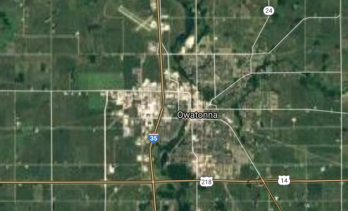
Owatonna [*elevation ceiling = 40km]Elevation: 352m (Group 116)
UR-100N (SLBM) |
Point A: 44.789345 00
Point B: 44.713297 00
Point C: 45.085381 00
Point D: 44.085557 00(300kt)
Point E: 44.861965 00
Point F: 45.188854 00
|
Point A: -93.601839 00
Point B: -93.422727 00
Point C: -93.008148 00
Point D: -93.225935 00(300kt)
Point E: -93.532310 00
Point F: -93.397454 00
|
|
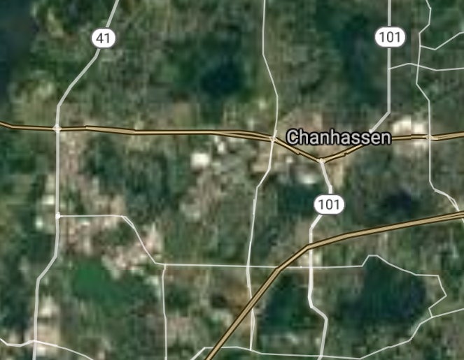
Chanhassen [*elevation ceiling = 40km]Elevation: 297m (Group 116)
UR-100N (SLBM) |
Point A: 44.789345 00
Point B: 44.713297 00
Point C: 45.085381 00
Point D: 44.085557 00
Point E: 44.861965 00(300kt)
Point F: 45.188854 00
|
Point A: -93.601839 00
Point B: -93.422727 00
Point C: -93.008148 00
Point D: -93.225935 00
Point E: -93.532310 00(300kt)
Point F: -93.397454 00
|
|
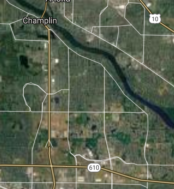
Champlin [*elevation ceiling = 40km]Elevation: 260m (Group 116)
UR-100N (SLBM) |
Point A: 44.789345 00
Point B: 44.713297 00
Point C: 45.085381 00
Point D: 44.085557 00
Point E: 44.861965 00
Point F: 45.188854 00(300kt)
|
Point A: -93.601839 00
Point B: -93.422727 00
Point C: -93.008148 00
Point D: -93.225935 00
Point E: -93.532310 00
Point F: -93.397454 00(300kt)
|
|
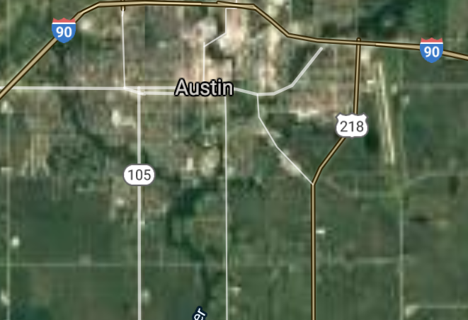
Austin [*elevation ceiling = 40km]Elevation: 367m (Group 117)
UR-100N (SLBM) |
Point A: 43.666630 00(300kt)
Point B: 45.337728 00
Point C: 44.739410 00
Point D: 44.294964 00
Point E: 45.032743 00
Point F: 44.640243 00
|
Point A: -92.974637 00(300kt)
Point B: -93.569112 00
Point C: -93.125772 00
Point D: -93.268827 00
Point E: -93.360229 00
Point F: -93.143550 00
|
|
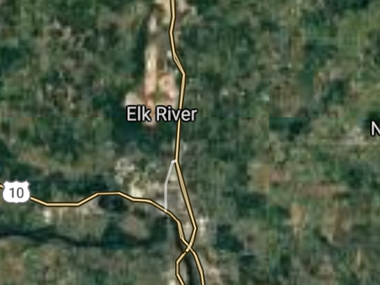
Elk River [*elevation ceiling = 40km]Elevation: 312m (Group 117)
UR-100N (SLBM) |
Point A: 43.666630 00
Point B: 45.337728 00(300kt)
Point C: 44.739410 00
Point D: 44.294964 00
Point E: 45.032743 00
Point F: 44.640243 00
|
Point A: -92.974637 00
Point B: -93.569112 00(300kt)
Point C: -93.125772 00
Point D: -93.268827 00
Point E: -93.360229 00
Point F: -93.143550 00
|
|
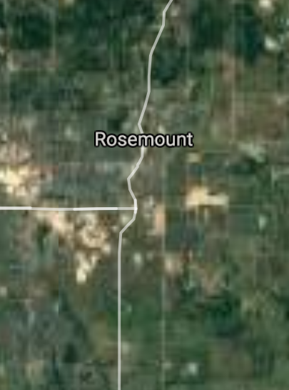
Rosemount [*elevation ceiling = 40km]Elevation: 295m (Group 117)
UR-100N (SLBM) |
Point A: 43.666630 00
Point B: 45.337728 00
Point C: 44.739410 00(300kt)
Point D: 44.294964 00
Point E: 45.032743 00
Point F: 44.640243 00
|
Point A: -92.974637 00
Point B: -93.569112 00
Point C: -93.125772 00(300kt)
Point D: -93.268827 00
Point E: -93.360229 00
Point F: -93.143550 00
|
|
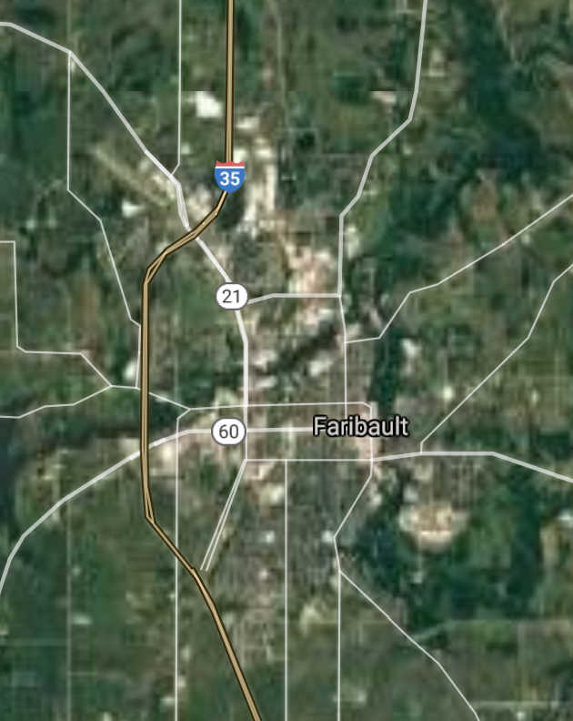
Faribault [*elevation ceiling = 40km]Elevation: 304m (Group 117)
UR-100N (SLBM) |
Point A: 43.666630 00
Point B: 45.337728 00
Point C: 44.739410 00
Point D: 44.294964 00(300kt)
Point E: 45.032743 00
Point F: 44.640243 00
|
Point A: -92.974637 00
Point B: -93.569112 00
Point C: -93.125772 00
Point D: -93.268827 00(300kt)
Point E: -93.360229 00
Point F: -93.143550 00
|
|
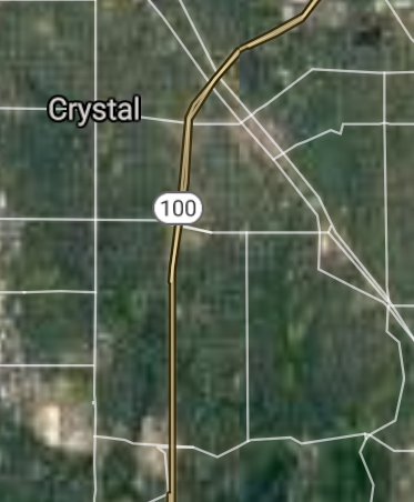
Crystal [*elevation ceiling = 40km]Elevation: 271m (Group 117)
UR-100N (SLBM) |
Point A: 43.666630 00
Point B: 45.337728 00
Point C: 44.739410 00
Point D: 44.294964 00
Point E: 45.032743 00(300kt)
Point F: 44.640243 00
|
Point A: -92.974637 00
Point B: -93.569112 00
Point C: -93.125772 00
Point D: -93.268827 00
Point E: -93.360229 00(300kt)
Point F: -93.143550 00
|
|
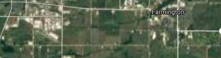
Farmington [*elevation ceiling = 40km]Elevation: 275m (Group 117)
UR-100N (SLBM) |
Point A: 43.666630 00
Point B: 45.337728 00
Point C: 44.739410 00
Point D: 44.294964 00
Point E: 45.032743 00
Point F: 44.640243 00(300kt)
|
Point A: -92.974637 00
Point B: -93.569112 00
Point C: -93.125772 00
Point D: -93.268827 00
Point E: -93.360229 00
Point F: -93.143550 00(300kt)
|
[Top]
Open START: Central Basin
"BRICS Security Council emerging from cross-currency evaluations"
OPEN Start: Central Basin - is an engineering vessel which is proven with climate security in evaluation of the USD/YEN currency pair. Annually, climate security is leading economic growth in key emerging markets surrounding the Four Asian Tigers. Affordably, the following industries extend opportunities for military cooperation: aerospace, telecommunications, finance and banking. OPEN Start: Central Basin strengthens the backbone for international security beyond the shadows of USD/YEN controversy. Traversely, OPEN Start: Central Basin offsets the cross-over gap between the USD/MXN and USD/RUB exchange rates. Notably, the Three Amigas form an economic alliance in the Far West through joint-cooperation projects from Venture 1, Venture LA and Venture SF which all extend with the Far North reach towards the Far South (as illustrated below).
![]()
![]()
![]()
![]()
![]()
![]()
![]()
![]()
![]()
JanuaryFebruaryMarchAprilJuneJulySeptemberOctoberDecember |
2026 Group Drills - Schedule
|
|

JanuaryFebruaryJuneJulyAugustOctoberNovemberDecember |
2026 Group Drills - Schedule
|
|

JanuaryFebruaryJuneJulySeptemberOctoberNovemberDecember |
2026 Group Drills - Schedule
|
|
