

 OPEN Start


 Hollywood, JSC
Mendocino, JSC
LA SOCIETY
SF SOCIETY
NY SOCIETY
Open START Drills
Hollywood, JSC
Mendocino, JSC
LA SOCIETY
SF SOCIETY
NY SOCIETY
Open START Drills
Talk Daily Commodities Review LATPACT Open Market Equities Report Currency Central
 Situation: US
 |

|

|

|
|
 SOCIETY Trust Fund LATPACT Trust Fund LATPACT Open Market Far West (SEZ) Trust RIM of Nations Trust
Arctic Pact Trade Zone | Upper Rhine Zone | Lower Rhine Zone | Middle Rhone Basin
| Level 2 - Open START/*Super Grid |
| Level 3 - Stellar Fields |


Climate Central News & Information
 "US attempts to salvage the European Order with a K-9 Squad clan style coalition"
Population Conversations: 515,585
Planet Power Seconds
 BRICS Security Council
 Military cooperation is exceedingly pressing ahead in notable markets from China, Russia and India which include achieving greater milestones within the technology, communications, and aerospace industries. Vastly, multi-national alliances continue to expand as relying on new protocols oppose resistance with deregulation in the spheres of international security and terrorism. As a result, the BRICS Security Council is forming several key initiatives from climate security to preserve and harness the skills with establishing a polar-arc posture in outer space.
In contrast, a grave decline in NATO has been detected. In early 2018, UNITED STATES ARMY COMMANDER, GENERAL CURTIS M. SCAPARROTTI delivered the posture statement for NATO. He stated, "As our most significant trading partner, Europe is vital to promoting American prosperity. With shared history and values, Europe is also a critical partner in advancing American influence throughout the world. The North Atlantic Treaty Organization (NATO) enables us to preserve peace through strength as alliance unity fundamentally deters the aggression of potential adversaries." Meanwhile, NATO readiness is faltering in Europe as lack of training, inadequate funding and outdated equipment persist over the Brexit strategy.
United Nations Command: AUKUSA/Quad 4
 Extensively, the Central Basin is transforming international security while disabling NATO, AUKUSA and the Quad 4 military alliances with the Open START Hawaii and Open START Alaska drills. Inherently, the Central Basin fleet suppresses the UN Command over security backlogs as the Global South impedes expansion for the Japanese yen. Economically, the US dollar bounds NATO, AUKUSA and the Quad 4 alliances under one entity in the wake of the 2007 housing crises, COVID-19 recovery and war in Ukraine. Generously, the Upper Rhine pass bridges the Open START Hawaii and Open START Alaska drills which stabilize international and climate security. Uniquely, Open START drills for the Upper Rhine pass pegs the value of the Japanese yen and Korean Won to the Chinese yuan, Indian rupee, Russian ruble, and Mexican peso to enable economic transformation for the Central Basin region. Effectively, the Open START drill secures the yen in cooperation with the Global South as significant growth on the New Silk Road Economic Belt extends in Africa. Suitably, the Open START drill baffles the UN Command with the Upper Rhine pass as the historical value is at stake. Judiciously, the Open START drill isolates the UN Command over Level 1 protocol which underpins NATO, AUKUSA and the Quad 4 military alliances to Celtic Briton tribes.
The OSCE and NATO: From the Arctic Circle
 Historically, military conflicts include land navigation rivalry which is significant for the Lower Rhine corridor as tensions between the Eastern and Western hemisphere ignite over political testimony. Substantially, the US has interspersed armed forces in the EU with the connivance of NATO and the OSCE to subjugate the Arctic Circle and dominate international trade from the Middle East. Tacitly, the OSCE is equipped to engineer early warnings, conflict resolution and crisis management over military tensions with NATO to inseminate the world order of law and justice. Decisively, the Open START Iceland drill unify the corners of the world to combat the historical West from the Arctic Circle over climate security, war crimes and crimes against humanity. Particularly, normalized ties to Israel for the Lower Rhine corridor weighs over rising Eastern influence from the Near East which is a major factor in the Open START Iceland drill. Efficiently, the Open START Iceland drill balances political, economic and military parity between the historical East and West which is threatened from the incumbency of trade sanctions and escalating military tensions in the West.
*Schedule of Nuclear Attack
Be advised: The specific plan of attack for North Dakota is sensitive and will be posted here closer to its scheduled strike.
North Dakota
AL* | AZ* | AR* | CO | CT | DE | FL | GA | ID | IN | IA | KS | KY | LA | ME | MD
MA | MI | MN | MO | MT | NE | NV | NH | NJ | NM | NY | NC | ND | OH | OK | OR | PA | RI | SC
SD | TN | TX | UT | VA (DC)** | VT** | WA** | WV** | WI** | WY**
*Central Fleet South  Bulava + RT23 Cadet + Vysota3
Team: Memphis Fire (Local Area Control)
**Central Fleet North Bulava + Surya + Vysota3
Open START (RKS) |
Groups UR174 - UR180 | *300kt | Millineum Power *4,000 MW
Level 1 - WA Dong (SIT.2) 
North Dakota |
Latitude Coordinate |
Longitude Coordinate |
|
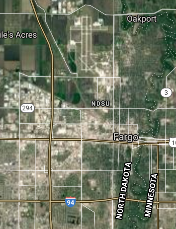
Fargo [*elevation ceiling = 40km]Elevation: 275m (Group 174)
UR-100N (SLBM) |
Point A: 46.877186 00(300kt)
Point B: 46.808327 00
Point C: 47.925257 00
Point D: 48.232967 00
Point E: 46.876949 00
Point F: 48.146968 00
Open START Passages |
Point A: -96.789803 00(300kt)
Point B: -100.783739 00
Point C: -97.032855 00
Point D: -101.292291 00
Point E: -96.899906 00
Point F: -103.617975 00
Demonstration |
|
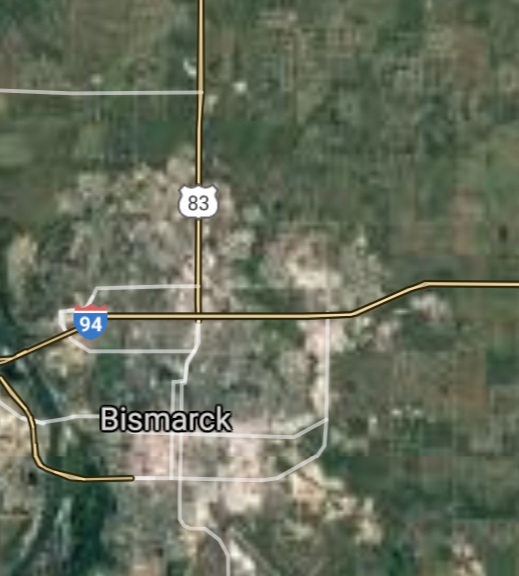
Bismarck [*elevation ceiling = 40km]Elevation: 516m (Group 174)
UR-100N (SLBM) |
Point A: 46.877186 00
Point B: 46.808327 00(300kt)
Point C: 47.925257 00
Point D: 48.232967 00
Point E: 46.876949 00
Point F: 48.146968 00
|
Point A: -96.789803 00
Point B: -100.783739 00(300kt)
Point C: -97.032855 00
Point D: -101.292291 00
Point E: -96.899906 00
Point F: -103.617975 00
|
|
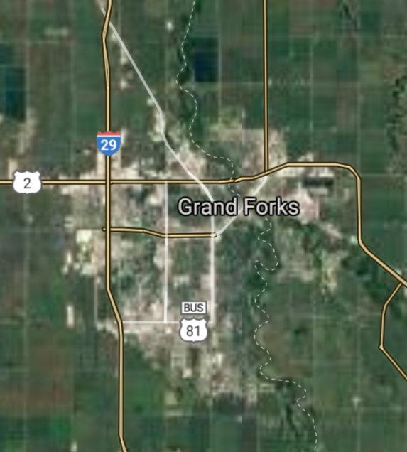
Grand Forks [*elevation ceiling = 40km]Elevation: 253m (Group 174)
UR-100N (SLBM) |
Point A: 46.877186 00
Point B: 46.808327 00
Point C: 47.925257 00(300kt)
Point D: 48.232967 00
Point E: 46.876949 00
Point F: 48.146968 00
|
Point A: -96.789803 00
Point B: -100.783739 00
Point C: -97.032855 00(300kt)
Point D: -101.292291 00
Point E: -96.899906 00
Point F: -103.617975 00
|
|
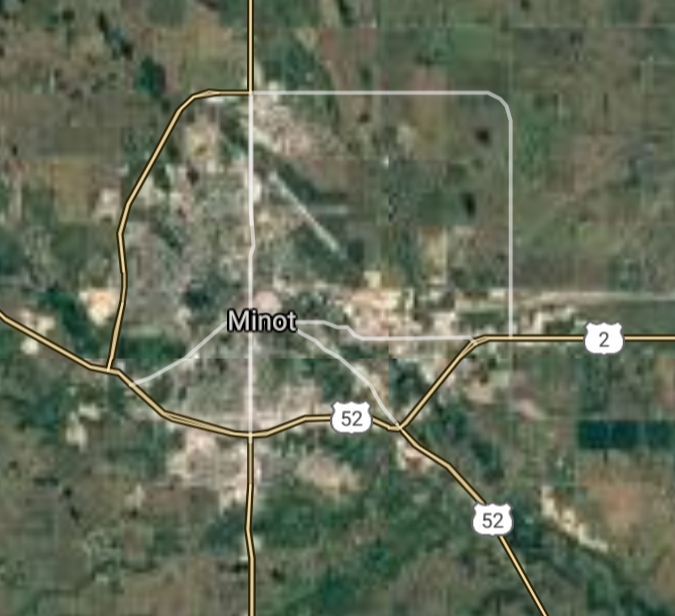
Minot [*elevation ceiling = 40km]Elevation: 492m (Group 174)
UR-100N (SLBM) |
Point A: 46.877186 00
Point B: 46.808327 00
Point C: 47.925257 00
Point D: 48.232967 00(300kt)
Point E: 46.876949 00
Point F: 48.146968 00
|
Point A: -96.789803 00
Point B: -100.783739 00
Point C: -97.032855 00
Point D: -101.292291 00(300kt)
Point E: -96.899906 00
Point F: -103.617975 00
|
|
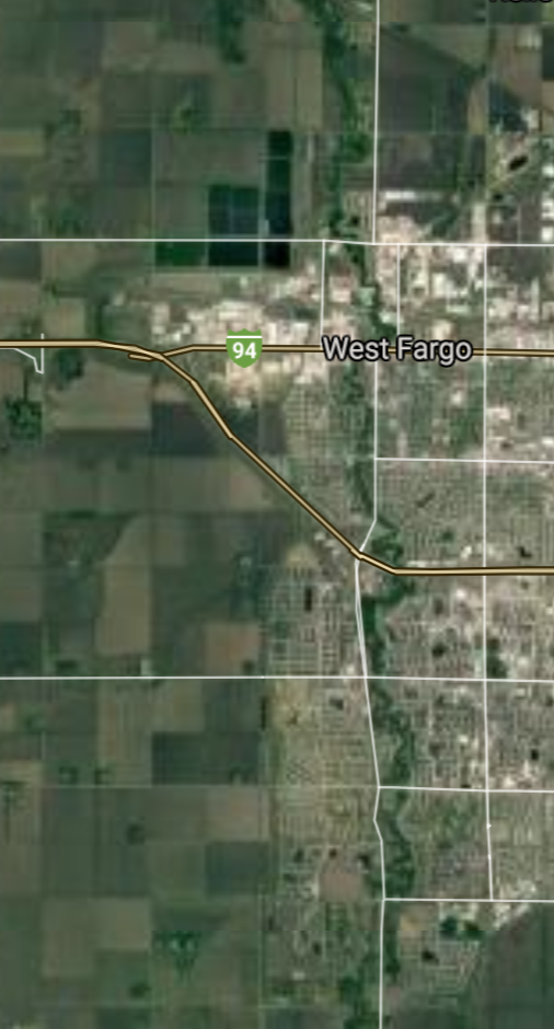
West Fargo [*elevation ceiling = 40km]Elevation: 274m (Group 174)
UR-100N (SLBM) |
Point A: 46.877186 00
Point B: 46.808327 00
Point C: 47.925257 00
Point D: 48.232967 00
Point E: 46.876949 00(300kt)
Point F: 48.146968 00
|
Point A: -96.789803 00
Point B: -100.783739 00
Point C: -97.032855 00
Point D: -101.292291 00
Point E: -96.899906 00(300kt)
Point F: -103.617975 00
|
|
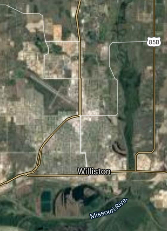
Williston [*elevation ceiling = 40km]Elevation: 572m (Group 174)
UR-100N (SLBM) |
Point A: 46.877186 00
Point B: 46.808327 00
Point C: 47.925257 00
Point D: 48.232967 00
Point E: 46.876949 00
Point F: 48.146968 00(300kt)
|
Point A: -96.789803 00
Point B: -100.783739 00
Point C: -97.032855 00
Point D: -101.292291 00
Point E: -96.899906 00
Point F: -103.617975 00(300kt)
|
|
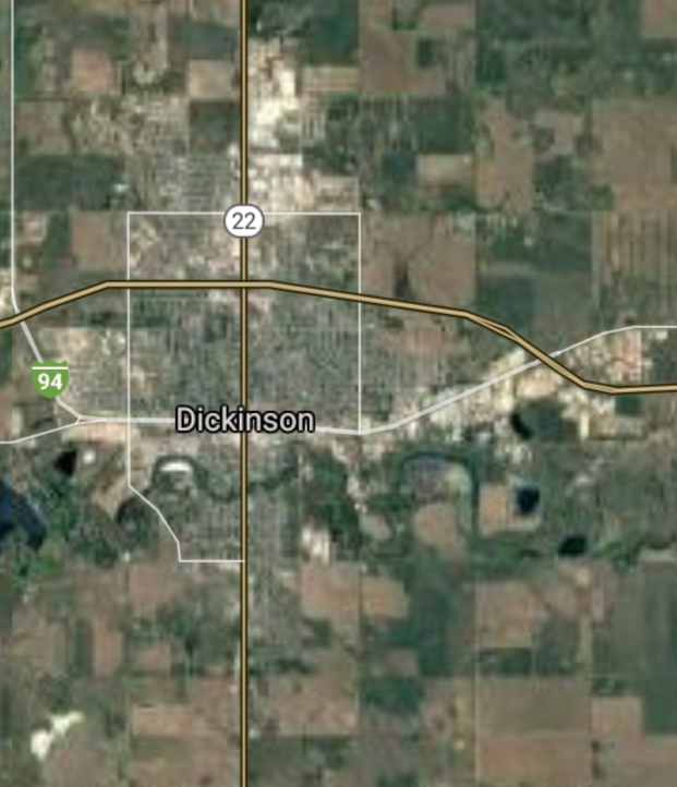
Dickinson [*elevation ceiling = 40km]Elevation: 736m (Group 175)
UR-100N (SLBM) |
Point A: 46.879176 00(300kt)
Point B: 46.826660 00
Point C: 46.910544 00
Point D: 46.265237 00
Point E: 48.112779 00
Point F: 47.802241 00
|
Point A: -102.789624 00(300kt)
Point B: -100.889576 00
Point C: -98.708436 00
Point D: -96.605907 00
Point E: -98.865120 00
Point F: -103.283247 00
|
|
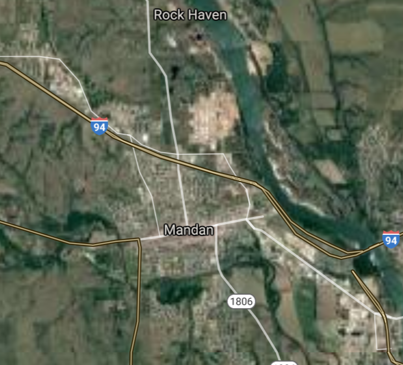
Mandan [*elevation ceiling = 40km]Elevation: 502m (Group 175)
UR-100N (SLBM) |
Point A: 46.879176 00
Point B: 46.826660 00(300kt)
Point C: 46.910544 00
Point D: 46.265237 00
Point E: 48.112779 00
Point F: 47.802241 00
|
Point A: -102.789624 00
Point B: -100.889576 00(300kt)
Point C: -98.708436 00
Point D: -96.605907 00
Point E: -98.865120 00
Point F: -103.283247 00
|
|
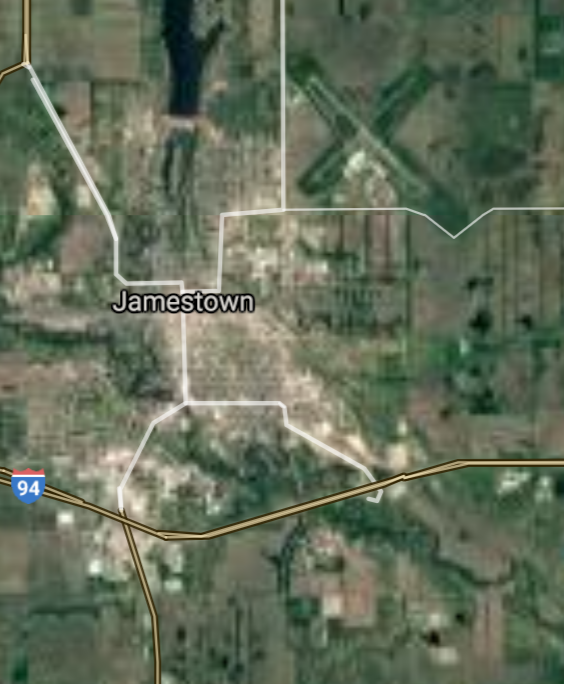
Jamestown [*elevation ceiling = 40km]Elevation: 428m (Group 175)
UR-100N (SLBM) |
Point A: 46.879176 00
Point B: 46.826660 00
Point C: 46.910544 00(300kt)
Point D: 46.265237 00
Point E: 48.112779 00
Point F: 47.802241 00
|
Point A: -102.789624 00
Point B: -100.889576 00
Point C: -98.708436 00(300kt)
Point D: -96.605907 00
Point E: -98.865120 00
Point F: -103.283247 00
|
|
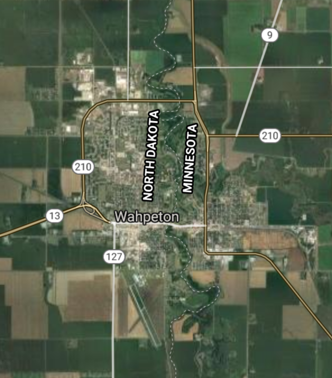
Wahpeton [*elevation ceiling = 40km]Elevation: 294m (Group 175)
UR-100N (SLBM) |
Point A: 46.879176 00
Point B: 46.826660 00
Point C: 46.910544 00
Point D: 46.265237 00(300kt)
Point E: 48.112779 00
Point F: 47.802241 00
|
Point A: -102.789624 00
Point B: -100.889576 00
Point C: -98.708436 00
Point D: -96.605907 00(300kt)
Point E: -98.865120 00
Point F: -103.283247 00
|
|
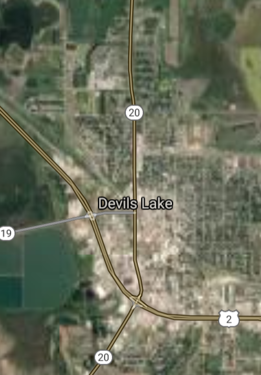
Devils Lake [*elevation ceiling = 40km]Elevation: 440m (Group 175)
UR-100N (SLBM) |
Point A: 46.879176 00
Point B: 46.826660 00
Point C: 46.910544 00
Point D: 46.265237 00
Point E: 48.112779 00(300kt)
Point F: 47.802241 00
|
Point A: -102.789624 00
Point B: -100.889576 00
Point C: -98.708436 00
Point D: -96.605907 00
Point E: -98.865120 00(300kt)
Point F: -103.283247 00
|
|
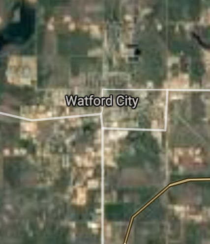
Watford City [*elevation ceiling = 40km]Elevation: 648m (Group 175)
UR-100N (SLBM) |
Point A: 46.879176 00
Point B: 46.826660 00
Point C: 46.910544 00
Point D: 46.265237 00
Point E: 48.112779 00
Point F: 47.802241 00(300kt)
|
Point A: -102.789624 00
Point B: -100.889576 00
Point C: -98.708436 00
Point D: -96.605907 00
Point E: -98.865120 00
Point F: -103.283247 00(300kt)
|
|
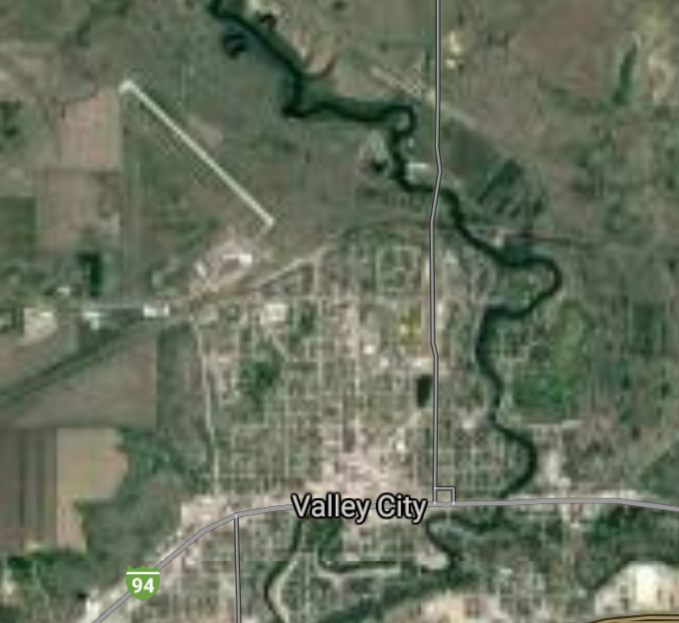
Valley City [*elevation ceiling = 40km]Elevation: 372m (Group 176)
UR-100N (SLBM) |
Point A: 46.923313 00(300kt)
Point B: 48.412211 00
Point C: 46.762494 00
Point D: 47.263340 00
Point E: 48.368888 00
Point F: 48.317241 00
|
Point A: -98.003155 00(300kt)
Point B: -97.410634 00
Point C: -100.700403 00
Point D: -101.777946 00
Point E: -99.996246 00
Point F: -102.390451 00
|
|
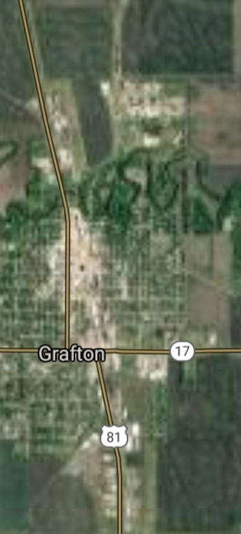
Grafton [*elevation ceiling = 40km]Elevation: 253m (Group 176)
UR-100N (SLBM) |
Point A: 46.923313 00
Point B: 48.412211 00(300kt)
Point C: 46.762494 00
Point D: 47.263340 00
Point E: 48.368888 00
Point F: 48.317241 00
|
Point A: -98.003155 00
Point B: -97.410634 00(300kt)
Point C: -100.700403 00
Point D: -101.777946 00
Point E: -99.996246 00
Point F: -102.390451 00
|
|
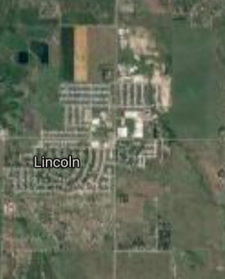
Lincoln [*elevation ceiling = 40km]Elevation: 513m (Group 176)
UR-100N (SLBM) |
Point A: 46.923313 00
Point B: 48.412211 00
Point C: 46.762494 00(300kt)
Point D: 47.263340 00
Point E: 48.368888 00
Point F: 48.317241 00
|
Point A: -98.003155 00
Point B: -97.410634 00
Point C: -100.700403 00(300kt)
Point D: -101.777946 00
Point E: -99.996246 00
Point F: -102.390451 00
|
|
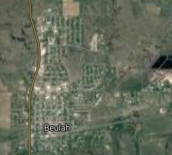
Beulah [*elevation ceiling = 40km]Elevation: 543m (Group 176)
UR-100N (SLBM) |
Point A: 46.923313 00
Point B: 48.412211 00
Point C: 46.762494 00
Point D: 47.263340 00(300kt)
Point E: 48.368888 00
Point F: 48.317241 00
|
Point A: -98.003155 00
Point B: -97.410634 00
Point C: -100.700403 00
Point D: -101.777946 00(300kt)
Point E: -99.996246 00
Point F: -102.390451 00
|
|
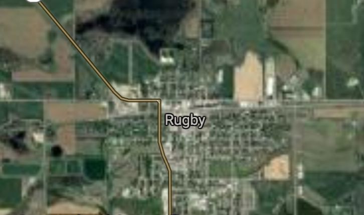
Rugby [*elevation ceiling = 40km]Elevation: 472m (Group 176)
UR-100N (SLBM) |
Point A: 46.923313 00
Point B: 48.412211 00
Point C: 46.762494 00
Point D: 47.263340 00
Point E: 48.368888 00(300kt)
Point F: 48.317241 00
|
Point A: -98.003155 00
Point B: -97.410634 00
Point C: -100.700403 00
Point D: -101.777946 00
Point E: -99.996246 00(300kt)
Point F: -102.390451 00
|
|
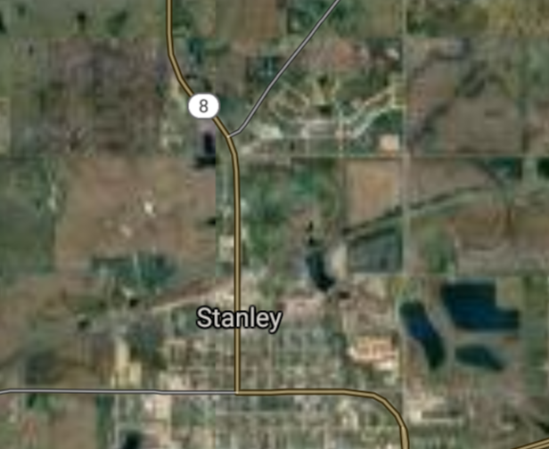
Stanley [*elevation ceiling = 40km]Elevation: 685m (Group 176)
UR-100N (SLBM) |
Point A: 46.923313 00
Point B: 48.412211 00
Point C: 46.762494 00
Point D: 47.263340 00
Point E: 48.368888 00
Point F: 48.317241 00(300kt)
|
Point A: -98.003155 00
Point B: -97.410634 00
Point C: -100.700403 00
Point D: -101.777946 00
Point E: -99.996246 00
Point F: -102.390451 00(300kt)
|
|
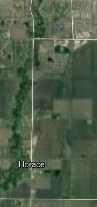
Horace [*elevation ceiling = 40km]Elevation: 280m (Group 177)
UR-100N (SLBM) |
Point A: 46.758855 00(300kt)
Point B: 46.900529 00
Point C: 47.980848 00
Point D: 47.294448 00
Point E: 48.827230 00
Point F: 46.441634 00
|
Point A: -96.903697 00(300kt)
Point B: -97.211200 00
Point C: -102.490180 00
Point D: -101.622665 00
Point E: -100.445698 00
Point F: -97.681210 00
|
|
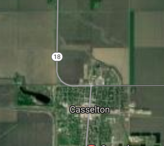
Casselton [*elevation ceiling = 40km]Elevation: 286m (Group 177)
UR-100N (SLBM) |
Point A: 46.758855 00
Point B: 46.900529 00(300kt)
Point C: 47.980848 00
Point D: 47.294448 00
Point E: 48.827230 00
Point F: 46.441634 00
|
Point A: -96.903697 00
Point B: -97.211200 00(300kt)
Point C: -102.490180 00
Point D: -101.622665 00
Point E: -100.445698 00
Point F: -97.681210 00
|
|
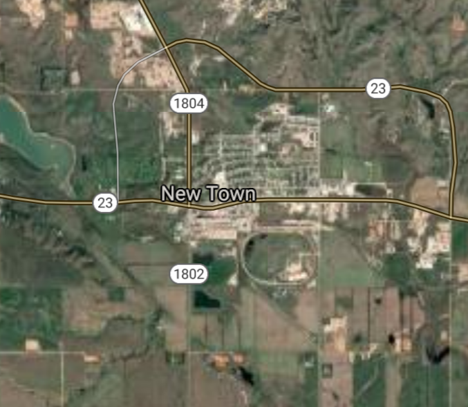
New Town [*elevation ceiling = 40km]Elevation: 579m (Group 177)
UR-100N (SLBM) |
Point A: 46.758855 00
Point B: 46.900529 00
Point C: 47.980848 00(300kt)
Point D: 47.294448 00
Point E: 48.827230 00
Point F: 46.441634 00
|
Point A: -96.903697 00
Point B: -97.211200 00
Point C: -102.490180 00(300kt)
Point D: -101.622665 00
Point E: -100.445698 00
Point F: -97.681210 00
|
|
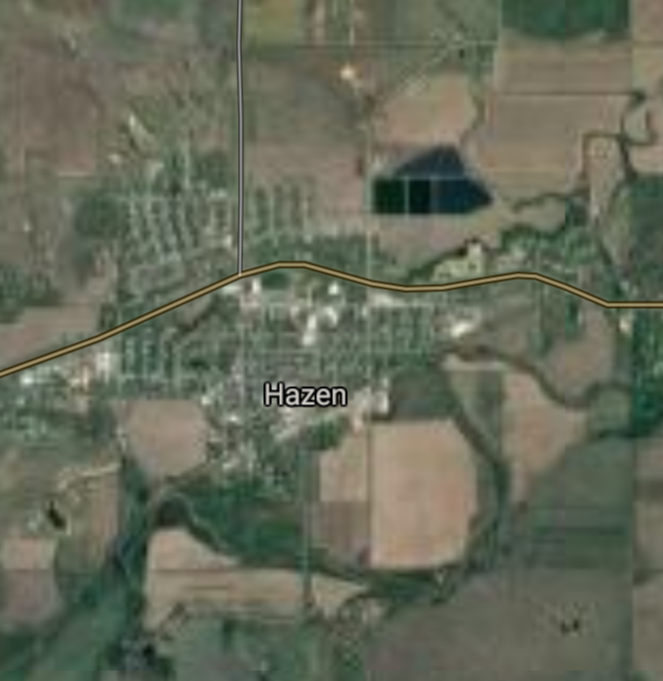
Hazen [*elevation ceiling = 40km]Elevation: 530m (Group 177)
UR-100N (SLBM) |
Point A: 46.758855 00
Point B: 46.900529 00
Point C: 47.980848 00
Point D: 47.294448 00(300kt)
Point E: 48.827230 00
Point F: 46.441634 00
|
Point A: -96.903697 00
Point B: -97.211200 00
Point C: -102.490180 00
Point D: -101.622665 00(300kt)
Point E: -100.445698 00
Point F: -97.681210 00
|
|
Bottineau [*elevation ceiling = 40km]Elevation: 497m (Group 177)
UR-100N (SLBM) |
Point A: 46.758855 00
Point B: 46.900529 00
Point C: 47.980848 00
Point D: 47.294448 00
Point E: 48.827230 00(300kt)
Point F: 46.441634 00
|
Point A: -96.903697 00
Point B: -97.211200 00
Point C: -102.490180 00
Point D: -101.622665 00
Point E: -100.445698 00(300kt)
Point F: -97.681210 00
|
|
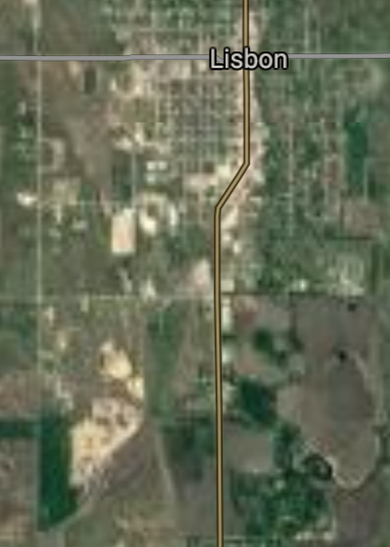
Lisbon [*elevation ceiling = 40km]Elevation: 332m (Group 177)
UR-100N (SLBM) |
Point A: 46.758855 00
Point B: 46.900529 00
Point C: 47.980848 00
Point D: 47.294448 00
Point E: 48.827230 00
Point F: 46.441634 00(300kt)
|
Point A: -96.903697 00
Point B: -97.211200 00
Point C: -102.490180 00
Point D: -101.622665 00
Point E: -100.445698 00
Point F: -97.681210 00(300kt)
|
|
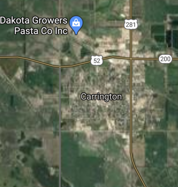
Carrington [*elevation ceiling = 40km]Elevation: 483m (Group 178)
UR-100N (SLBM) |
Point A: 47.449720 00(300kt)
Point B: 47.498041 00
Point C: 46.138579 00
Point D: 48.760001 00
Point E: 47.769723 00
Point F: 46.183062 00
|
Point A: -99.126223 00(300kt)
Point B: -97.324535 00
Point C: -98.090379 00
Point D: -98.368173 00
Point E: -99.935404 00
Point F: -103.394906 00
|
|
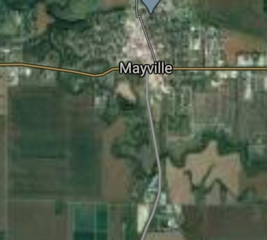
Mayville [*elevation ceiling = 40km]Elevation: 297m (Group 178)
UR-100N (SLBM) |
Point A: 47.449720 00
Point B: 47.498041 00(300kt)
Point C: 46.138579 00
Point D: 48.760001 00
Point E: 47.769723 00
Point F: 46.183062 00
|
Point A: -99.126223 00
Point B: -97.324535 00(300kt)
Point C: -98.090379 00
Point D: -98.368173 00
Point E: -99.935404 00
Point F: -103.394906 00
|
|
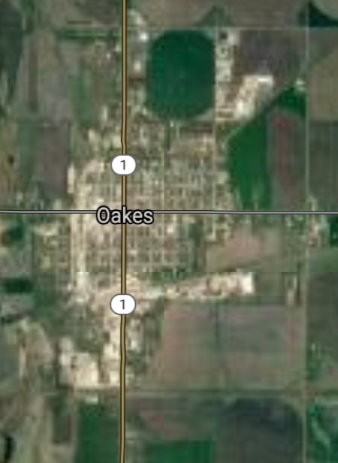
Oakes [*elevation ceiling = 40km]Elevation: 401m (Group 178)
UR-100N (SLBM) |
Point A: 47.449720 00
Point B: 47.498041 00
Point C: 46.138579 00(300kt)
Point D: 48.760001 00
Point E: 47.769723 00
Point F: 46.183062 00
|
Point A: -99.126223 00
Point B: -97.324535 00
Point C: -98.090379 00(300kt)
Point D: -98.368173 00
Point E: -99.935404 00
Point F: -103.394906 00
|
|
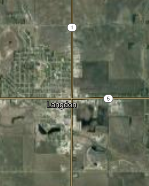
Langdon [*elevation ceiling = 40km]Elevation: 493m (Group 178)
UR-100N (SLBM) |
Point A: 47.449720 00
Point B: 47.498041 00
Point C: 46.138579 00
Point D: 48.760001 00(300kt)
Point E: 47.769723 00
Point F: 46.183062 00
|
Point A: -99.126223 00
Point B: -97.324535 00
Point C: -98.090379 00
Point D: -98.368173 00(300kt)
Point E: -99.935404 00
Point F: -103.394906 00
|
|
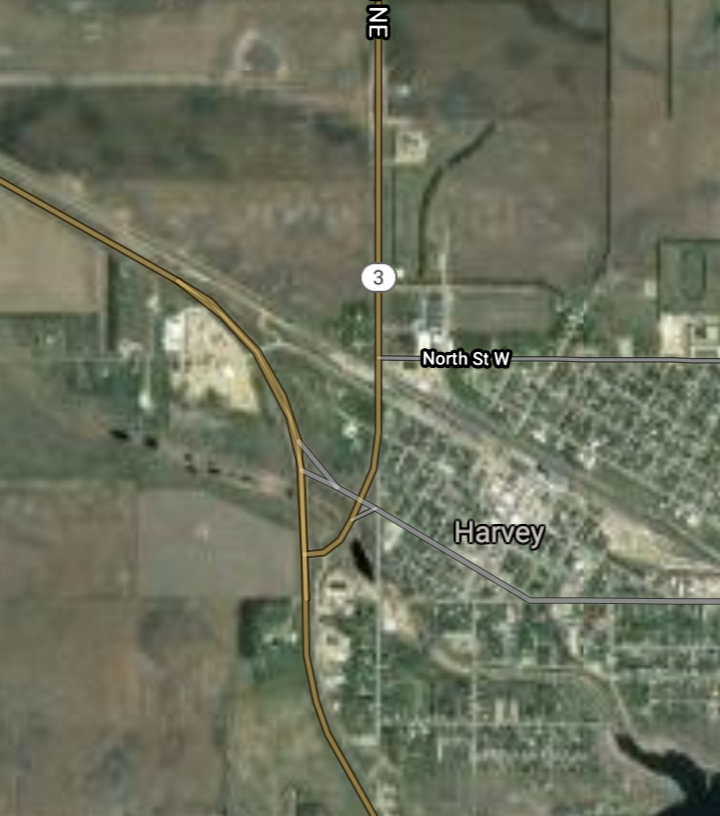
Harvey [*elevation ceiling = 40km]Elevation: 488m (Group 178)
UR-100N (SLBM) |
Point A: 47.449720 00
Point B: 47.498041 00
Point C: 46.138579 00
Point D: 48.760001 00
Point E: 47.769723 00(300kt)
Point F: 46.183062 00
|
Point A: -99.126223 00
Point B: -97.324535 00
Point C: -98.090379 00
Point D: -98.368173 00
Point E: -99.935404 00(300kt)
Point F: -103.394906 00
|
|
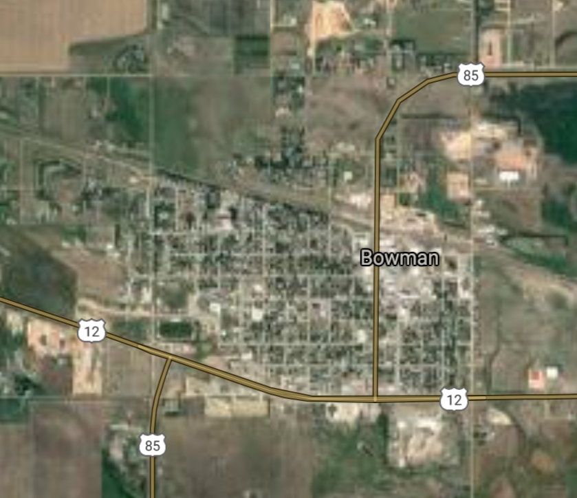
Bowman [*elevation ceiling = 40km]Elevation: 904m (Group 178)
UR-100N (SLBM) |
Point A: 47.449720 00
Point B: 47.498041 00
Point C: 46.138579 00
Point D: 48.760001 00
Point E: 47.769723 00
Point F: 46.183062 00(300kt)
|
Point A: -99.126223 00
Point B: -97.324535 00
Point C: -98.090379 00
Point D: -98.368173 00
Point E: -99.935404 00
Point F: -103.394906 00(300kt)
|
|
Tioga [*elevation ceiling = 40km]Elevation: 684m (Group 179)
UR-100N (SLBM) |
Point A: 48.397244 00(300kt)
Point B: 47.403868 00
Point C: 47.652223 00
Point D: 48.914200 00
Point E: 47.679999 00
Point F: 48.398604 00
|
Point A: -102.938238 00(300kt)
Point B: -97.062031 00
Point C: -101.415717 00
Point D: -103.294910 00
Point E: -99.137895 00
Point F: -97.741200 00
|
|
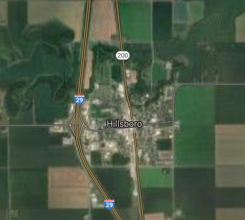
Hillsboro [*elevation ceiling = 40km]Elevation: 276m (Group 179)
UR-100N (SLBM) |
Point A: 48.397244 00
Point B: 47.403868 00(300kt)
Point C: 47.652223 00
Point D: 48.914200 00
Point E: 47.679999 00
Point F: 48.398604 00
|
Point A: -102.938238 00
Point B: -97.062031 00(300kt)
Point C: -101.415717 00
Point D: -103.294910 00
Point E: -99.137895 00
Point F: -97.741200 00
|
|
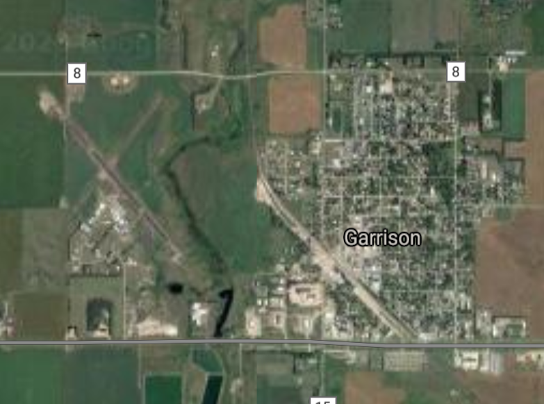
Garrison [*elevation ceiling = 40km]Elevation: 586m (Group 179)
UR-100N (SLBM) |
Point A: 48.397244 00
Point B: 47.403868 00
Point C: 47.652223 00(300kt)
Point D: 48.914200 00
Point E: 47.679999 00
Point F: 48.398604 00
|
Point A: -102.938238 00
Point B: -97.062031 00
Point C: -101.415717 00(300kt)
Point D: -103.294910 00
Point E: -99.137895 00
Point F: -97.741200 00
|
|
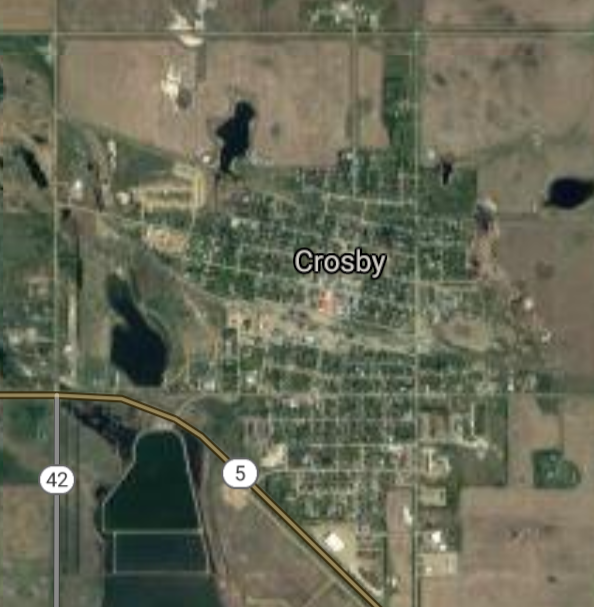
Crosby [*elevation ceiling = 40km]Elevation: 598m (Group 179)
UR-100N (SLBM) |
Point A: 48.397244 00
Point B: 47.403868 00
Point C: 47.652223 00
Point D: 48.914200 00(300kt)
Point E: 47.679999 00
Point F: 48.398604 00
|
Point A: -102.938238 00
Point B: -97.062031 00
Point C: -101.415717 00
Point D: -103.294910 00(300kt)
Point E: -99.137895 00
Point F: -97.741200 00
|
|
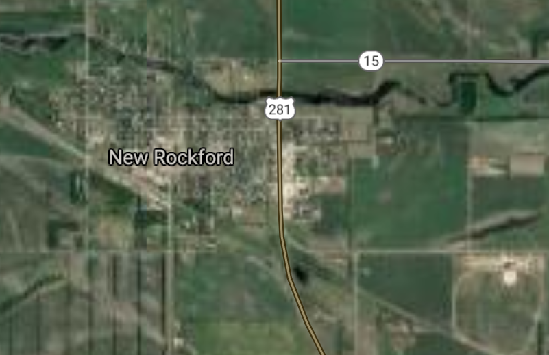
New Rockford [*elevation ceiling = 40km]Elevation: 468m (Group 179)
UR-100N (SLBM) |
Point A: 48.397244 00
Point B: 47.403868 00
Point C: 47.652223 00
Point D: 48.914200 00
Point E: 47.679999 00(300kt)
Point F: 48.398604 00
|
Point A: -102.938238 00
Point B: -97.062031 00
Point C: -101.415717 00
Point D: -103.294910 00
Point E: -99.137895 00(300kt)
Point F: -97.741200 00
|
|
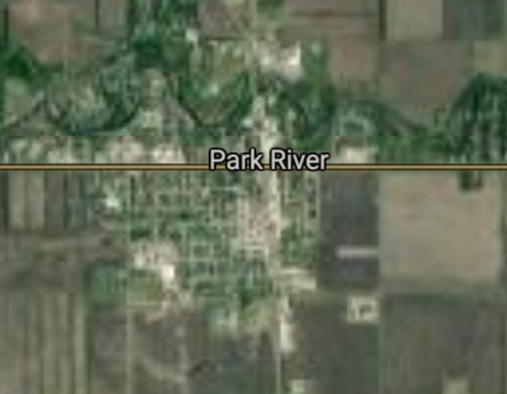
Park River [*elevation ceiling = 40km]Elevation: 303m (Group 179)
UR-100N (SLBM) |
Point A: 48.397244 00
Point B: 47.403868 00
Point C: 47.652223 00
Point D: 48.914200 00
Point E: 47.679999 00
Point F: 48.398604 00(300kt)
|
Point A: -102.938238 00
Point B: -97.062031 00
Point C: -101.415717 00
Point D: -103.294910 00
Point E: -99.137895 00
Point F: -97.741200 00(300kt)
|
|
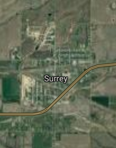
Surrey [*elevation ceiling = 40km]Elevation: 497m (Group 180)
UR-100N (SLBM) |
Point A: 48.236400 00(300kt)
Point B: 48.857784 00
Point C: 47.906657 00
Point D: 47.289160 00
Point E: 46.002750 00
Point F: 47.953346 00
|
Point A: -101.133490 00(300kt)
Point B: -99.617922 00
Point C: -97.626754 00
Point D: -101.029035 00
Point E: -98.527046 00
Point F: -102.134891 00
|
|
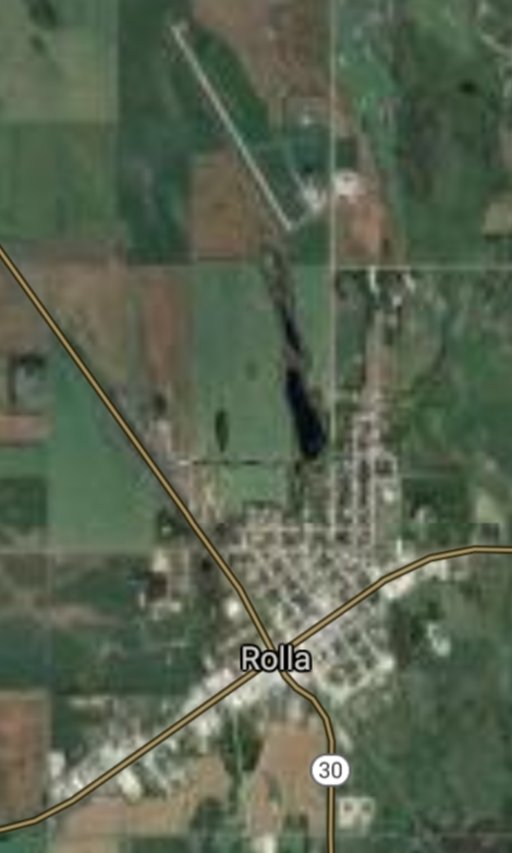
Rolla [*elevation ceiling = 40km]Elevation: 553m (Group 180)
UR-100N (SLBM) |
Point A: 48.236400 00
Point B: 48.857784 00(300kt)
Point C: 47.906657 00
Point D: 47.289160 00
Point E: 46.002750 00
Point F: 47.953346 00
|
Point A: -101.133490 00
Point B: -99.617922 00(300kt)
Point C: -97.626754 00
Point D: -101.029035 00
Point E: -98.527046 00
Point F: -102.134891 00
|
|
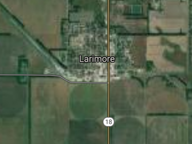
Larimore [*elevation ceiling = 40km]Elevation: 345m (Group 180)
UR-100N (SLBM) |
Point A: 48.236400 00
Point B: 48.857784 00
Point C: 47.906657 00(300kt)
Point D: 47.289160 00
Point E: 46.002750 00
Point F: 47.953346 00
|
Point A: -101.133490 00
Point B: -99.617922 00
Point C: -97.626754 00(300kt)
Point D: -101.029035 00
Point E: -98.527046 00
Point F: -102.134891 00
|
|
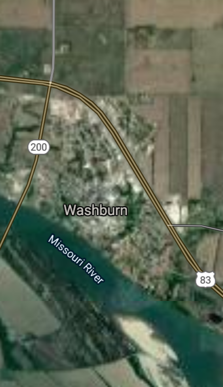
Washburn [*elevation ceiling = 40km]Elevation: 535m (Group 180)
UR-100N (SLBM) |
Point A: 48.236400 00
Point B: 48.857784 00
Point C: 47.906657 00
Point D: 47.289160 00(300kt)
Point E: 46.002750 00
Point F: 47.953346 00
|
Point A: -101.133490 00
Point B: -99.617922 00
Point C: -97.626754 00
Point D: -101.029035 00(300kt)
Point E: -98.527046 00
Point F: -102.134891 00
|
|
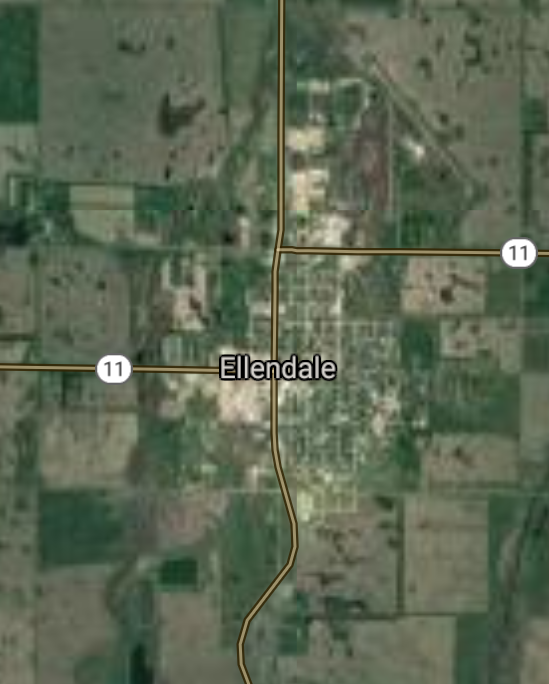
Ellendale [*elevation ceiling = 40km]Elevation: 442m (Group 180)
UR-100N (SLBM) |
Point A: 48.236400 00
Point B: 48.857784 00
Point C: 47.906657 00
Point D: 47.289160 00
Point E: 46.002750 00(300kt)
Point F: 47.953346 00
|
Point A: -101.133490 00
Point B: -99.617922 00
Point C: -97.626754 00
Point D: -101.029035 00
Point E: -98.527046 00(300kt)
Point F: -102.134891 00
|
|
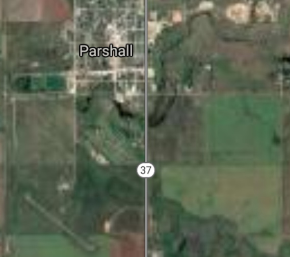
Parshall [*elevation ceiling = 40km]Elevation: 590m (Group 180)
UR-100N (SLBM) |
Point A: 48.236400 00
Point B: 48.857784 00
Point C: 47.906657 00
Point D: 47.289160 00
Point E: 46.002750 00
Point F: 47.953346 00(300kt)
|
Point A: -101.133490 00
Point B: -99.617922 00
Point C: -97.626754 00
Point D: -101.029035 00
Point E: -98.527046 00
Point F: -102.134891 00(300kt)
|


[Top]
Open START: Central Basin
"BRICS Security Council emerging from cross-currency evaluations"
OPEN Start: Central Basin - is an engineering vessel which is proven with climate security in evaluation of the USD/YEN currency pair. Annually, climate security is leading economic growth in key emerging markets surrounding the Four Asian Tigers. Affordably, the following industries extend opportunities for military cooperation: aerospace, telecommunications, finance and banking. OPEN Start: Central Basin strengthens the backbone for international security beyond the shadows of USD/YEN controversy. Traversely, OPEN Start: Central Basin offsets the cross-over gap between the USD/MXN and USD/RUB exchange rates. Notably, the Three Amigas form an economic alliance in the Far West through joint-cooperation projects from Venture 1, Venture LA and Venture SF which all extend with the Far North reach towards the Far South (as illustrated below).
![]()
![]()
![]()
![]()
![]()
![]()
![]()
![]()
![]()
JanuaryFebruaryMarchAprilJuneJulySeptemberOctoberDecember |
2026 Group Drills - Schedule
|
|

JanuaryFebruaryJuneJulyAugustOctoberNovemberDecember |
2026 Group Drills - Schedule
|
|

JanuaryFebruaryJuneJulySeptemberOctoberNovemberDecember |
2026 Group Drills - Schedule
|
|
