


|
 Hollywood, JSC
Mendocino, JSC
LA SOCIETY
SF SOCIETY
NY SOCIETY
Open START Drills
Hollywood, JSC
Mendocino, JSC
LA SOCIETY
SF SOCIETY
NY SOCIETY
Open START Drills
 Talk Daily Commodities Review LATPACT Open Market Equities Report Currency Central
 Insider: Situation US
 |

|

|

|
 |
SOCIETY Trust Fund LATPACT Trust Fund LATPACT Open Market Far West (SEZ) Trust RIM of Nations Trust
Arctic Pact Trade Zone | Upper Rhine Zone | Lower Rhine Zone | Middle Rhone Basin
| Level 2 - Open START National Passages |
| Level 3 - My Astronomy |


Climate Central News & Information
 "US attempts to salvage the European Order with an Oceania based clan-style coalition"
Population Conversations: 2,656,948
Planet Power Seconds
 Glance at NATO
 In early 2018, UNITED STATES ARMY COMMANDER, GENERAL CURTIS M. SCAPARROTTI delivered the posture statement for NATO. He stated, "As our most significant trading partner, Europe is vital to promoting American prosperity. With shared history and values, Europe is also a critical partner in advancing American influence throughout the world. The North Atlantic Treaty Organization (NATO) enables us to preserve peace through strength as alliance unity fundamentally deters the aggression of potential adversaries."
Moreover, General Scaparrotti said, "Russia continues to destabilize regional security and disregard international norms, which have preserved the peace in Europe since 1945. Russia seeks to change the international order, fracture NATO, and undermine U.S. leadership in order to protect its regime, re-assert dominance over its neighbors, and achieve greater influence around the globe. To achieve these ends, the Kremlin is prepared to employ the full spectrum of Russia’s power, to include forcefully using its increasingly capable military."
United Nations Command: AUKUSA/Quad 4
 Extensively, the Central Basin is transforming international security while disabling NATO, AUKUSA and the Quad 4 military alliances with the Open START Hawaii and Open START Alaska drills. Inherently, the Central Basin fleet suppresses the UN Command over security backlogs as the Global South impedes expansion for the Japanese yen. Economically, the US dollar bounds NATO, AUKUSA and the Quad 4 alliances under one entity in the wake of the 2007 housing crises, COVID-19 recovery and war in Ukraine. Generously, the Upper Rhine pass bridges the Open START Hawaii and Open START Alaska drills which stabilize international and climate security. Uniquely, Open START drills for the Upper Rhine pass pegs the value of the Japanese yen and Korean Won to the Chinese yuan, Indian rupee, Russian ruble, and Mexican peso to enable economic transformation for the Central Basin region. Effectively, the Open START drill secures the yen in cooperation with the Global South as significant growth on the New Silk Road Economic Belt extends in Africa. Suitably, the Open START drill baffles the UN Command with the Upper Rhine pass as the historical value is at stake. Judiciously, the Open START drill isolates the UN Command over Level 1 protocol which underpins NATO, AUKUSA and the Quad 4 military alliances to Celtic Briton tribes.
The OSCE and NATO: From the Arctic Circle
 Historically, military conflicts include land navigation rivalry which is significant for the Lower Rhine corridor as tensions between the Eastern and Western hemisphere ignite over political testimony. Substantially, the US has interspersed armed forces in the EU with the connivance of NATO and the OSCE to subjugate the Arctic Circle and dominate international trade from the Middle East. Tacitly, the OSCE is equipped to engineer early warnings, conflict resolution and crisis management over military tensions with NATO to inseminate the world order of law and justice. Decisively, the Open START Iceland drill unify the corners of the world to combat the historical West from the Arctic Circle over climate security, war crimes and crimes against humanity. Particularly, normalized ties to Israel for the Lower Rhine corridor weighs over rising Eastern influence from the Near East which is a major factor in the Open START Iceland drill. Efficiently, the Open START Iceland drill balances political, economic and military parity between the historical East and West which is threatened from the incumbency of trade sanctions and escalating military tensions in the West.
*Schedule of Nuclear Attack
Be advised: The specific plan of attack for Missouri is sensitive and will be posted here closer to its scheduled strike.
Missouri
AL* | AZ* | AR* | CO | CT | DE | FL | GA | ID | IN | IA | KS | KY | LA | ME | MD
MA | MI | MN | MS | MO | MT | NE | NV | NH | NJ | NM | NY | NC | ND | OH | OK | OR | PA | RI | SC
SD | TN | TX | UT | VA (DC)** | VT** | WA** | WV** | WI** | WY**
*Central Fleet South  Bulava + RT23 Cadet + Vysota3
Team: Memphis Fire (Local Area Control)
**Central Fleet North Bulava + Surya + Vysota3
Open START (RKS) |
Groups UR118 - UR125 | *300kt | Millineum Power *4,000 MW
Level 1 - WA Dong (SIT.2) 
Missouri |
Latitude Coordinate |
Longitude Coordinate |
|
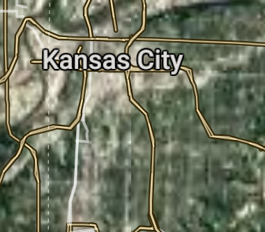
Kansas City [*elevation ceiling = 40km]Elevation: 274m (Group 118)
UR-100N (SLBM) |
Point A: 39.099727 00(300kt)
Point B: 38.627003 00
Point C: 37.208957 00
Point D: 38.951705 00
Point E: 39.091116 00
Point F: 38.910841 00
Open START Passages |
Point A: -94.578567 00(300kt)
Point B: -90.199404 00
Point C: -93.292299 00
Point D: -92.334072 00
Point E: -94.415507 00
Point F: -94.382172 00
Demonstration |
|
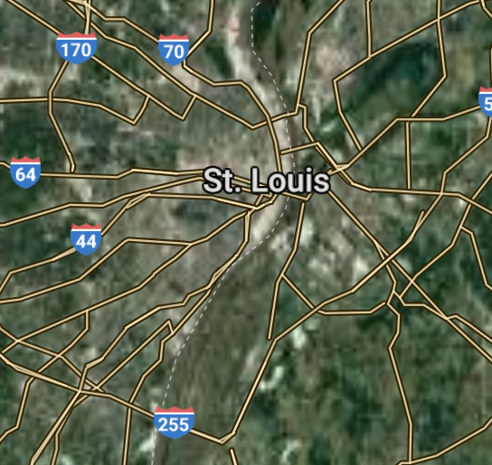
St. Louis [*elevation ceiling = 40km]Elevation: 141m (Group 118)
UR-100N (SLBM) |
Point A: 39.099727 00
Point B: 38.627003 00(300kt)
Point C: 37.208957 00
Point D: 38.951705 00
Point E: 39.091116 00
Point F: 38.910841 00
|
Point A: -94.578567 00
Point B: -90.199404 00(300kt)
Point C: -93.292299 00
Point D: -92.334072 00
Point E: -94.415507 00
Point F: -94.382172 00
|
|
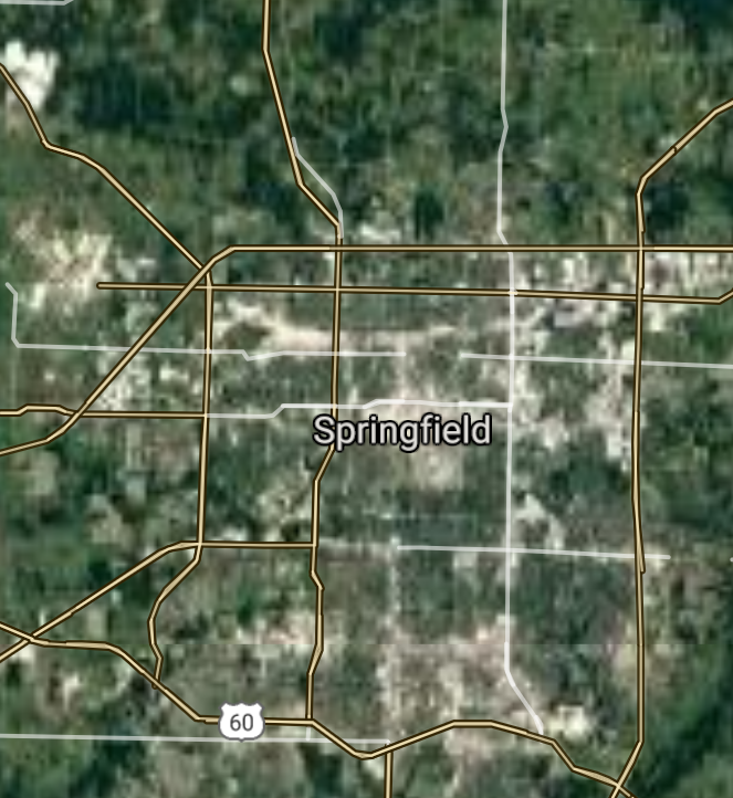
Springfield [*elevation ceiling = 40km]Elevation: 398m (Group 118)
UR-100N (SLBM) |
Point A: 39.099727 00
Point B: 38.627003 00
Point C: 37.208957 00(300kt)
Point D: 38.951705 00
Point E: 39.091116 00
Point F: 38.910841 00
|
Point A: -94.578567 00
Point B: -90.199404 00
Point C: -93.292299 00(300kt)
Point D: -92.334072 00
Point E: -94.415507 00
Point F: -94.382172 00
|
|
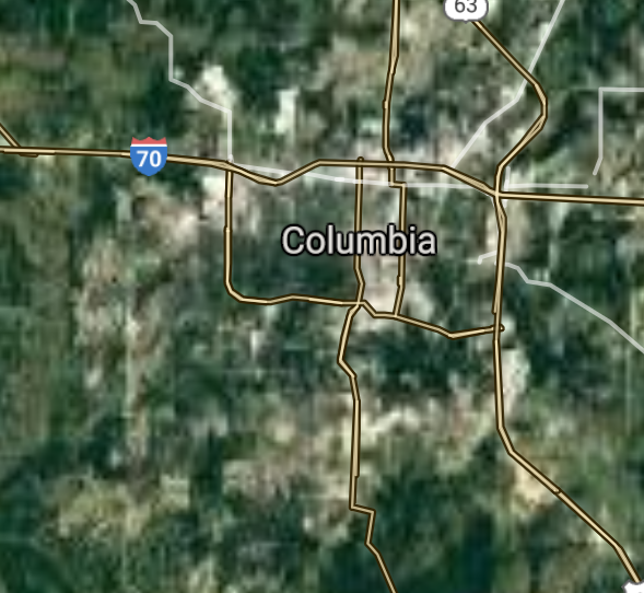
Columbia [*elevation ceiling = 40km]Elevation: 215m (Group 118)
UR-100N (SLBM) |
Point A: 39.099727 00
Point B: 38.627003 00
Point C: 37.208957 00
Point D: 38.951705 00(300kt)
Point E: 39.091116 00
Point F: 38.910841 00
|
Point A: -94.578567 00
Point B: -90.199404 00
Point C: -93.292299 00
Point D: -92.334072 00(300kt)
Point E: -94.415507 00
Point F: -94.382172 00
|
|
Independence [*elevation ceiling = 40km]Elevation: 316m (Group 118)
UR-100N (SLBM) |
Point A: 39.099727 00
Point B: 38.627003 00
Point C: 37.208957 00
Point D: 38.951705 00
Point E: 39.091116 00(300kt)
Point F: 38.910841 00
|
Point A: -94.578567 00
Point B: -90.199404 00
Point C: -93.292299 00
Point D: -92.334072 00
Point E: -94.415507 00(300kt)
Point F: -94.382172 00
|
|
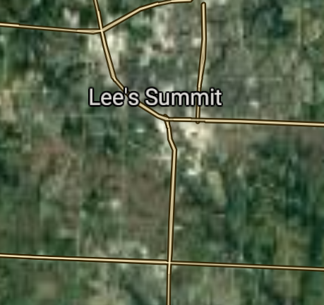
Lee's Summit [*elevation ceiling = 40km]Elevation: 316m (Group 118)
UR-100N (SLBM) |
Point A: 39.099727 00
Point B: 38.627003 00
Point C: 37.208957 00
Point D: 38.951705 00
Point E: 39.091116 00
Point F: 38.910841 00(300kt)
|
Point A: -94.578567 00
Point B: -90.199404 00
Point C: -93.292299 00
Point D: -92.334072 00
Point E: -94.415507 00
Point F: -94.382172 00(300kt)
|
|
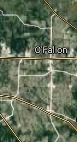
O'Fallon [*elevation ceiling = 40km]Elevation: 167m (Group 119)
UR-100N (SLBM) |
Point A: 38.810608 00(300kt)
Point B: 39.767458 00
Point C: 38.788106 00
Point D: 38.787470 00
Point E: 39.016951 00
Point F: 37.084227 00
|
Point A: -90.699848 00(300kt)
Point B: -94.846681 00
Point C: -90.497436 00
Point D: -90.629892 00
Point E: -94.281615 00
Point F: -94.513281 00
|
|
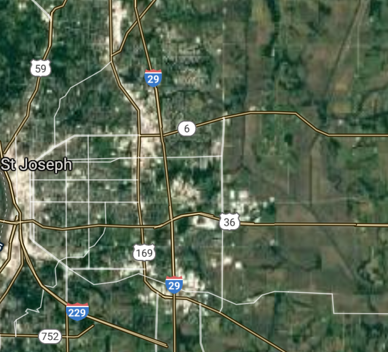
St. Joseph [*elevation ceiling = 40km]Elevation: 270m (Group 119)
UR-100N (SLBM) |
Point A: 38.810608 00
Point B: 39.767458 00(300kt)
Point C: 38.788106 00
Point D: 38.787470 00
Point E: 39.016951 00
Point F: 37.084227 00
|
Point A: -90.699848 00
Point B: -94.846681 00(300kt)
Point C: -90.497436 00
Point D: -90.629892 00
Point E: -94.281615 00
Point F: -94.513281 00
|
|
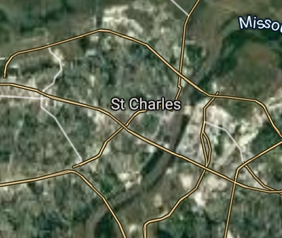
St. Charles [*elevation ceiling = 40km]Elevation: 175m (Group 119)
UR-100N (SLBM) |
Point A: 38.810608 00
Point B: 39.767458 00
Point C: 38.788106 00(300kt)
Point D: 38.787470 00
Point E: 39.016951 00
Point F: 37.084227 00
|
Point A: -90.699848 00
Point B: -94.846681 00
Point C: -90.497436 00(300kt)
Point D: -90.629892 00
Point E: -94.281615 00
Point F: -94.513281 00
|
|
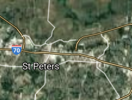
St. Peters [*elevation ceiling = 40km]Elevation: 142m (Group 119)
UR-100N (SLBM) |
Point A: 38.810608 00
Point B: 39.767458 00
Point C: 38.788106 00
Point D: 38.787470 00(300kt)
Point E: 39.016951 00
Point F: 37.084227 00
|
Point A: -90.699848 00
Point B: -94.846681 00
Point C: -90.497436 00
Point D: -90.629892 00(300kt)
Point E: -94.281615 00
Point F: -94.513281 00
|
|
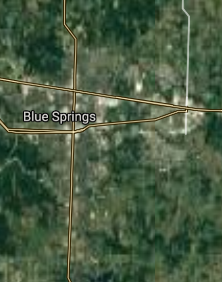
Blue Springs [*elevation ceiling = 40km]Elevation: 297m (Group 119)
UR-100N (SLBM) |
Point A: 38.810608 00
Point B: 39.767458 00
Point C: 38.788106 00
Point D: 38.787470 00
Point E: 39.016951 00(300kt)
Point F: 37.084227 00
|
Point A: -90.699848 00
Point B: -94.846681 00
Point C: -90.497436 00
Point D: -90.629892 00
Point E: -94.281615 00(300kt)
Point F: -94.513281 00
|
|
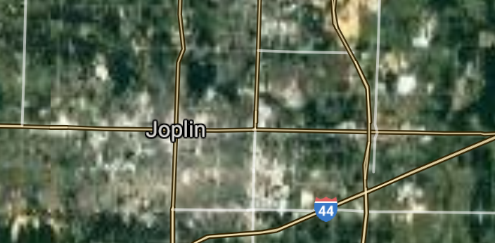
Joplin [*elevation ceiling = 40km]Elevation: 306m (Group 119)
UR-100N (SLBM) |
Point A: 38.810608 00
Point B: 39.767458 00
Point C: 38.788106 00
Point D: 38.787470 00
Point E: 39.016951 00
Point F: 37.084227 00(300kt)
|
Point A: -90.699848 00
Point B: -94.846681 00
Point C: -90.497436 00
Point D: -90.629892 00
Point E: -94.281615 00
Point F: -94.513281 00(300kt)
|
|
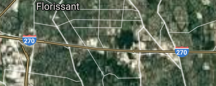
Florissant [*elevation ceiling = 40km]Elevation: 176m (Group 120)
UR-100N (SLBM) |
Point A: 38.789217 00(300kt)
Point B: 38.663108 00
Point C: 38.576702 00
Point D: 38.811440 00
Point E: 37.305884 00
Point F: 38.582831 00
|
Point A: -90.322614 00(300kt)
Point B: -90.577068 00
Point C: -92.173516 00
Point D: -90.852911 00
Point E: -89.518148 00
Point F: -90.662905 00
|
|
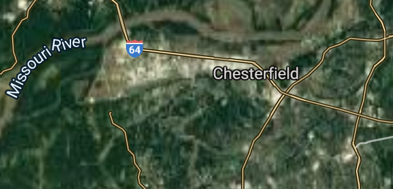
Chesterfield [*elevation ceiling = 40km]Elevation: 146m (Group 120)
UR-100N (SLBM) |
Point A: 38.789217 00
Point B: 38.663108 00(300kt)
Point C: 38.576702 00
Point D: 38.811440 00
Point E: 37.305884 00
Point F: 38.582831 00
|
Point A: -90.322614 00
Point B: -90.577068 00(300kt)
Point C: -92.173516 00
Point D: -90.852911 00
Point E: -89.518148 00
Point F: -90.662905 00
|
|
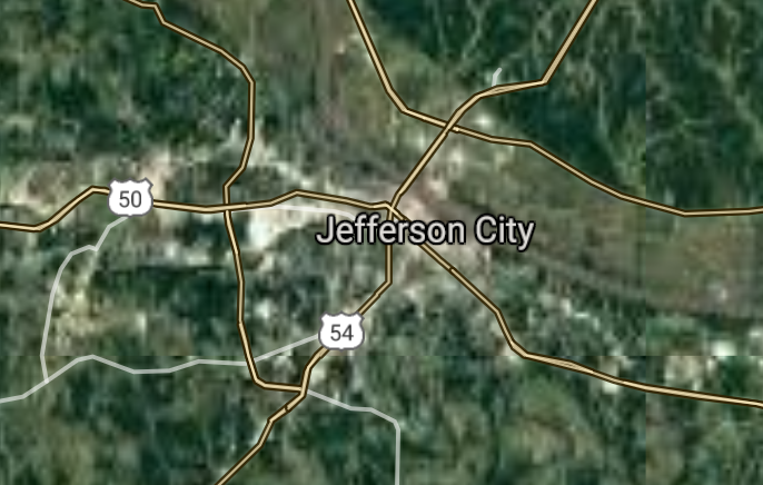
Jefferson City [*elevation ceiling = 40km]Elevation: 192m (Group 120)
UR-100N (SLBM) |
Point A: 38.789217 00
Point B: 38.663108 00
Point C: 38.576702 00(300kt)
Point D: 38.811440 00
Point E: 37.305884 00
Point F: 38.582831 00
|
Point A: -90.322614 00
Point B: -90.577068 00
Point C: -92.173516 00(300kt)
Point D: -90.852911 00
Point E: -89.518148 00
Point F: -90.662905 00
|
|
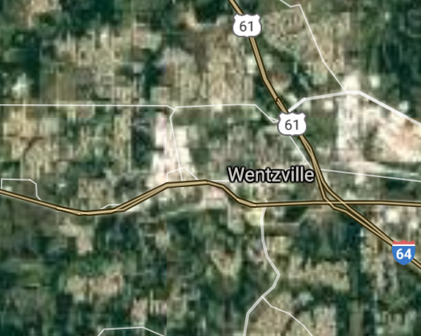
Wentzville [*elevation ceiling = 40km]Elevation: 192m (Group 120)
UR-100N (SLBM) |
Point A: 38.789217 00
Point B: 38.663108 00
Point C: 38.576702 00
Point D: 38.811440 00(300kt)
Point E: 37.305884 00
Point F: 38.582831 00
|
Point A: -90.322614 00
Point B: -90.577068 00
Point C: -92.173516 00
Point D: -90.852911 00(300kt)
Point E: -89.518148 00
Point F: -90.662905 00
|
|
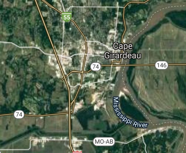
Cape Girardeau [*elevation ceiling = 40km]Elevation: 107m (Group 120)
UR-100N (SLBM) |
Point A: 38.789217 00
Point B: 38.663108 00
Point C: 38.576702 00
Point D: 38.811440 00
Point E: 37.305884 00(300kt)
Point F: 38.582831 00
|
Point A: -90.322614 00
Point B: -90.577068 00
Point C: -92.173516 00
Point D: -90.852911 00
Point E: -89.518148 00(300kt)
Point F: -90.662905 00
|
|
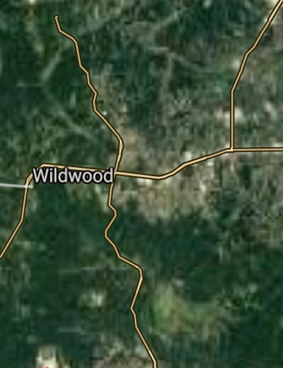
Wildwood [*elevation ceiling = 40km]Elevation: 233m (Group 120)
UR-100N (SLBM) |
Point A: 38.789217 00
Point B: 38.663108 00
Point C: 38.576702 00
Point D: 38.811440 00
Point E: 37.305884 00
Point F: 38.582831 00(300kt)
|
Point A: -90.322614 00
Point B: -90.577068 00
Point C: -92.173516 00
Point D: -90.852911 00
Point E: -89.518148 00
Point F: -90.662905 00(300kt)
|
|
University City [*elevation ceiling = 40km]Elevation: 162m (Group 121)
UR-100N (SLBM) |
Point A: 38.668241 00(300kt)
Point B: 38.595053 00
Point C: 39.246114 00
Point D: 39.008617 00
Point E: 38.583386 00
Point F: 38.713107 00
|
Point A: -90.332486 00(300kt)
Point B: -90.546234 00
Point C: -94.419118 00
Point D: -94.463564 00
Point E: -90.406785 00
Point F: -90.429840 00
|
|
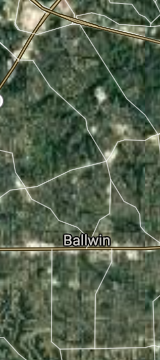
Ballwin [*elevation ceiling = 40km]Elevation: 192m (Group 121)
UR-100N (SLBM) |
Point A: 38.668241 00
Point B: 38.595053 00(300kt)
Point C: 39.246114 00
Point D: 39.008617 00
Point E: 38.583386 00
Point F: 38.713107 00
|
Point A: -90.332486 00
Point B: -90.546234 00(300kt)
Point C: -94.419118 00
Point D: -94.463564 00
Point E: -90.406785 00
Point F: -90.429840 00
|
|
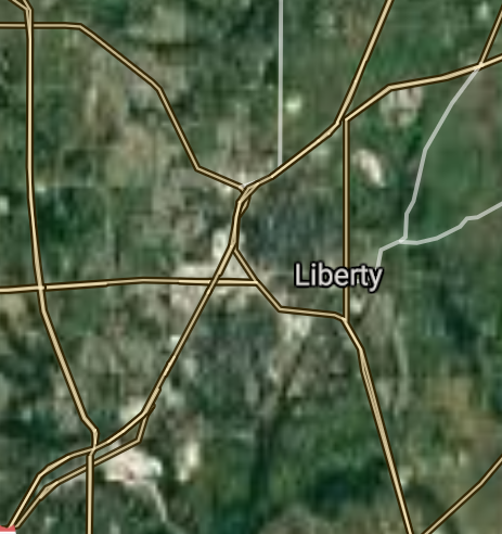
Liberty [*elevation ceiling = 40km]Elevation: 268m (Group 121)
UR-100N (SLBM) |
Point A: 38.668241 00
Point B: 38.595053 00
Point C: 39.246114 00(300kt)
Point D: 39.008617 00
Point E: 38.583386 00
Point F: 38.713107 00
|
Point A: -90.332486 00
Point B: -90.546234 00
Point C: -94.419118 00(300kt)
Point D: -94.463564 00
Point E: -90.406785 00
Point F: -90.429840 00
|
|
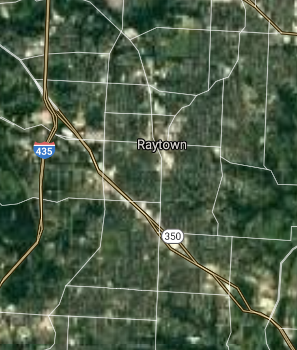
Raytown [*elevation ceiling = 40km]Elevation: 310m (Group 121)
UR-100N (SLBM) |
Point A: 38.668241 00
Point B: 38.595053 00
Point C: 39.246114 00
Point D: 39.008617 00(300kt)
Point E: 38.583386 00
Point F: 38.713107 00
|
Point A: -90.332486 00
Point B: -90.546234 00
Point C: -94.419118 00
Point D: -94.463564 00(300kt)
Point E: -90.406785 00
Point F: -90.429840 00
|
|
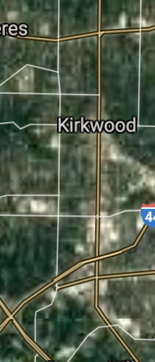
Kirkwood [*elevation ceiling = 40km]Elevation: 201m (Group 121)
UR-100N (SLBM) |
Point A: 38.668241 00
Point B: 38.595053 00
Point C: 39.246114 00
Point D: 39.008617 00
Point E: 38.583386 00(300kt)
Point F: 38.713107 00
|
Point A: -90.332486 00
Point B: -90.546234 00
Point C: -94.419118 00
Point D: -94.463564 00
Point E: -90.406785 00(300kt)
Point F: -90.429840 00
|
|
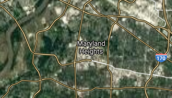
Maryland Heights [*elevation ceiling = 40km]Elevation: 164m (Group 121)
UR-100N (SLBM) |
Point A: 38.668241 00
Point B: 38.595053 00
Point C: 39.246114 00
Point D: 39.008617 00
Point E: 38.583386 00
Point F: 38.713107 00(300kt)
|
Point A: -90.332486 00
Point B: -90.546234 00
Point C: -94.419118 00
Point D: -94.463564 00
Point E: -90.406785 00
Point F: -90.429840 00(300kt)
|
|
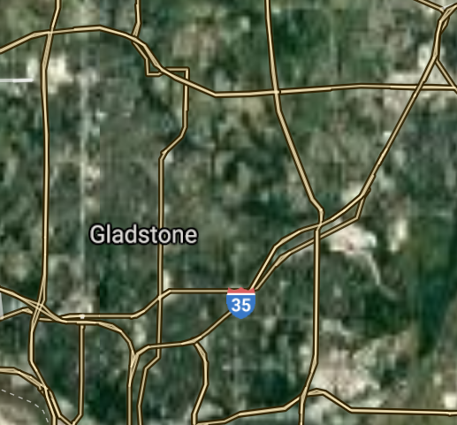
Gladstone [*elevation ceiling = 40km]Elevation: 287m (Group 122)
UR-100N (SLBM) |
Point A: 39.203892 00(300kt)
Point B: 38.771440 00
Point C: 38.885841 00
Point D: 38.811953 00
Point E: 38.592552 00
Point F: 38.704461 00
|
Point A: -94.554677 00(300kt)
Point B: -90.370949 00
Point C: -94.533010 00
Point D: -94.531898 00
Point E: -90.357339 00
Point F: -93.228261 00
|
|
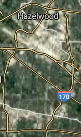
Hazelwood [*elevation ceiling = 40km]Elevation: 172m (Group 122)
UR-100N (SLBM) |
Point A: 39.203892 00
Point B: 38.771440 00(300kt)
Point C: 38.885841 00
Point D: 38.811953 00
Point E: 38.592552 00
Point F: 38.704461 00
|
Point A: -94.554677 00
Point B: -90.370949 00(300kt)
Point C: -94.533010 00
Point D: -94.531898 00
Point E: -90.357339 00
Point F: -93.228261 00
|
|
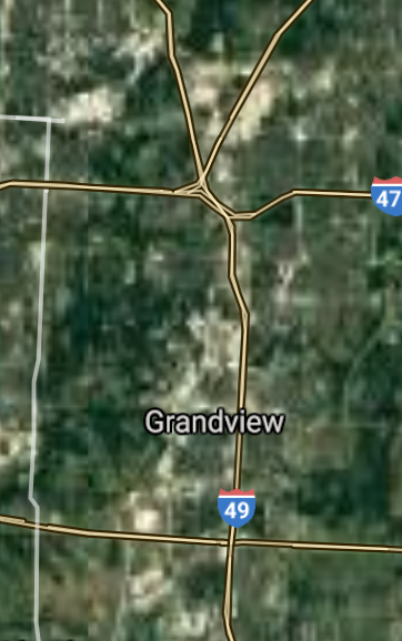
Grandview [*elevation ceiling = 40km]Elevation: 320m (Group 122)
UR-100N (SLBM) |
Point A: 39.203892 00
Point B: 38.771440 00
Point C: 38.885841 00(300kt)
Point D: 38.811953 00
Point E: 38.592552 00
Point F: 38.704461 00
|
Point A: -94.554677 00
Point B: -90.370949 00
Point C: -94.533010 00(300kt)
Point D: -94.531898 00
Point E: -90.357339 00
Point F: -93.228261 00
|
|
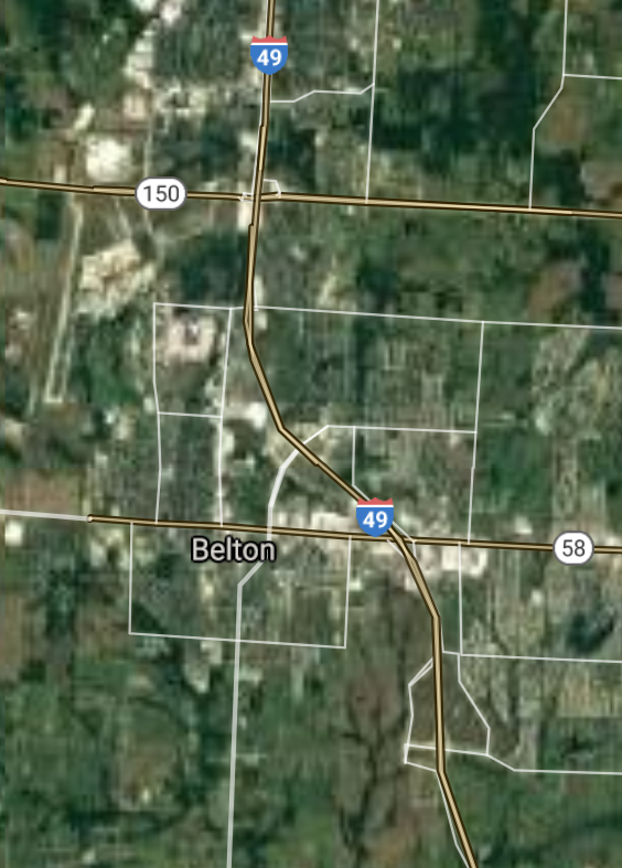
Belton [*elevation ceiling = 40km]Elevation: 337m (Group 122)
UR-100N (SLBM) |
Point A: 39.203892 00
Point B: 38.771440 00
Point C: 38.885841 00
Point D: 38.811953 00(300kt)
Point E: 38.592552 00
Point F: 38.704461 00
|
Point A: -94.554677 00
Point B: -90.370949 00
Point C: -94.533010 00
Point D: -94.531898 00(300kt)
Point E: -90.357339 00
Point F: -93.228261 00
|
|
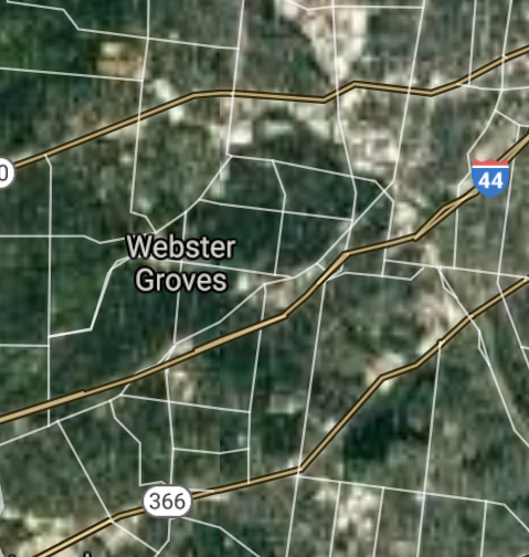
Webster Groves [*elevation ceiling = 40km]Elevation: 170m (Group 122)
UR-100N (SLBM) |
Point A: 39.203892 00
Point B: 38.771440 00
Point C: 38.885841 00
Point D: 38.811953 00
Point E: 38.592552 00(300kt)
Point F: 38.704461 00
|
Point A: -94.554677 00
Point B: -90.370949 00
Point C: -94.533010 00
Point D: -94.531898 00
Point E: -90.357339 00(300kt)
Point F: -93.228261 00
|
|
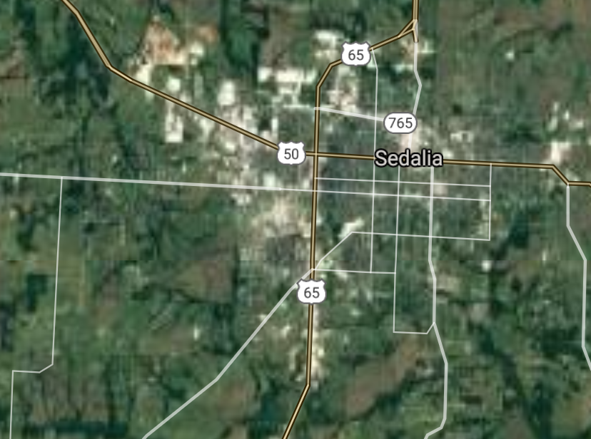
Sedalia [*elevation ceiling = 40km]Elevation: 277m (Group 122)
UR-100N (SLBM) |
Point A: 39.203892 00
Point B: 38.771440 00
Point C: 38.885841 00
Point D: 38.811953 00
Point E: 38.592552 00
Point F: 38.704461 00(300kt)
|
Point A: -94.554677 00
Point B: -90.370949 00
Point C: -94.533010 00
Point D: -94.531898 00
Point E: -90.357339 00
Point F: -93.228261 00(300kt)
|
|
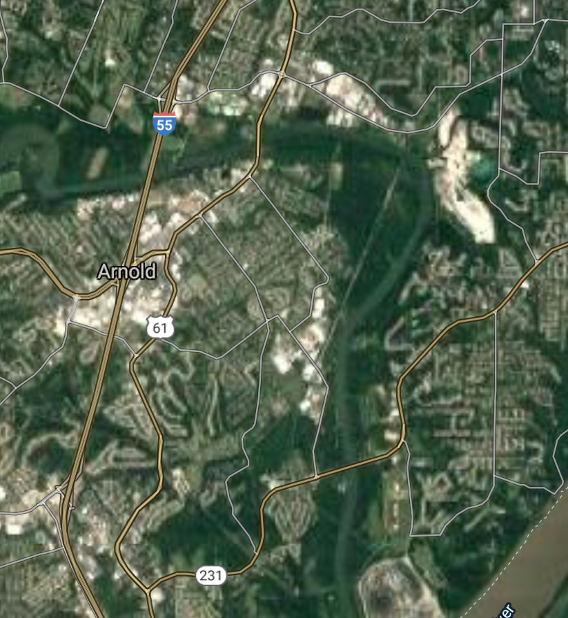
Arnold [*elevation ceiling = 40km]Elevation: 183m (Group 123)
UR-100N (SLBM) |
Point A: 38.432832 00(300kt)
Point B: 37.043386 00
Point C: 38.744218 00
Point D: 38.801953 00
Point E: 38.762789 00
Point F: 37.948544 00
|
Point A: -90.377619 00(300kt)
Point B: -93.294353 00
Point C: -90.305391 00
Point D: -94.452729 00
Point E: -93.736050 00
Point F: -91.771530 00
|
|
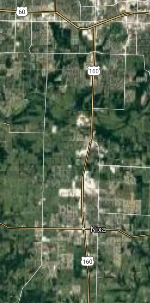
Nixa [*elevation ceiling = 40km]Elevation: 396m (Group 123)
UR-100N (SLBM) |
Point A: 38.432832 00
Point B: 37.043386 00(300kt)
Point C: 38.744218 00
Point D: 38.801953 00
Point E: 38.762789 00
Point F: 37.948544 00
|
Point A: -90.377619 00
Point B: -93.294353 00(300kt)
Point C: -90.305391 00
Point D: -94.452729 00
Point E: -93.736050 00
Point F: -91.771530 00
|
|
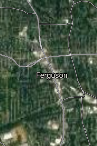
Ferguson [*elevation ceiling = 40km]Elevation: 157m (Group 123)
UR-100N (SLBM) |
Point A: 38.432832 00
Point B: 37.043386 00
Point C: 38.744218 00(300kt)
Point D: 38.801953 00
Point E: 38.762789 00
Point F: 37.948544 00
|
Point A: -90.377619 00
Point B: -93.294353 00
Point C: -90.305391 00(300kt)
Point D: -94.452729 00
Point E: -93.736050 00
Point F: -91.771530 00
|
|
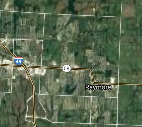
Raymore [*elevation ceiling = 40km]Elevation: 334m (Group 123)
UR-100N (SLBM) |
Point A: 38.432832 00
Point B: 37.043386 00
Point C: 38.744218 00
Point D: 38.801953 00(300kt)
Point E: 38.762789 00
Point F: 37.948544 00
|
Point A: -90.377619 00
Point B: -93.294353 00
Point C: -90.305391 00
Point D: -94.452729 00(300kt)
Point E: -93.736050 00
Point F: -91.771530 00
|
|
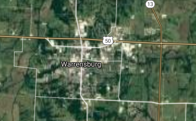
Warrensburg [*elevation ceiling = 40km]Elevation: 265m (Group 123)
UR-100N (SLBM) |
Point A: 38.432832 00
Point B: 37.043386 00
Point C: 38.744218 00
Point D: 38.801953 00
Point E: 38.762789 00(300kt)
Point F: 37.948544 00
|
Point A: -90.377619 00
Point B: -93.294353 00
Point C: -90.305391 00
Point D: -94.452729 00
Point E: -93.736050 00(300kt)
Point F: -91.771530 00
|
|
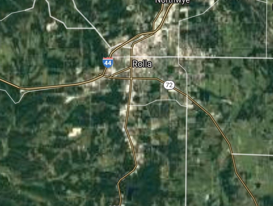
Rolla [*elevation ceiling = 40km]Elevation: 336m (Group 123)
UR-100N (SLBM) |
Point A: 38.432832 00
Point B: 37.043386 00
Point C: 38.744218 00
Point D: 38.801953 00
Point E: 38.762789 00
Point F: 37.948544 00(300kt)
|
Point A: -90.377619 00
Point B: -93.294353 00
Point C: -90.305391 00
Point D: -94.452729 00
Point E: -93.736050 00
Point F: -91.771530 00(300kt)
|
|
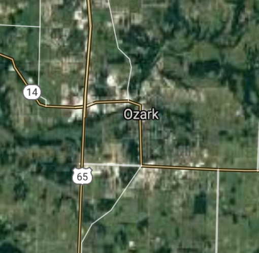
Ozark [*elevation ceiling = 40km]Elevation: 357m (Group 124)
UR-100N (SLBM) |
Point A: 37.020887 00(300kt)
Point B: 38.660886 00
Point C: 37.780885 00
Point D: 38.596998 00
Point E: 39.708379 00
Point F: 40.194754 00
|
Point A: -93.206016 00(300kt)
Point B: -90.422618 00
Point C: -90.421789 00
Point D: -90.509288 00
Point E: -91.358482 00
Point F: -92.583250 00
|
|
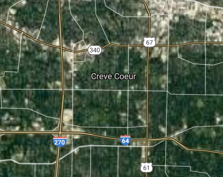
Creve Coeur [*elevation ceiling = 40km]Elevation: 184m (Group 124)
UR-100N (SLBM) |
Point A: 37.020887 00
Point B: 38.660886 00(300kt)
Point C: 37.780885 00
Point D: 38.596998 00
Point E: 39.708379 00
Point F: 40.194754 00
|
Point A: -93.206016 00
Point B: -90.422618 00(300kt)
Point C: -90.421789 00
Point D: -90.509288 00
Point E: -91.358482 00
Point F: -92.583250 00
|
|
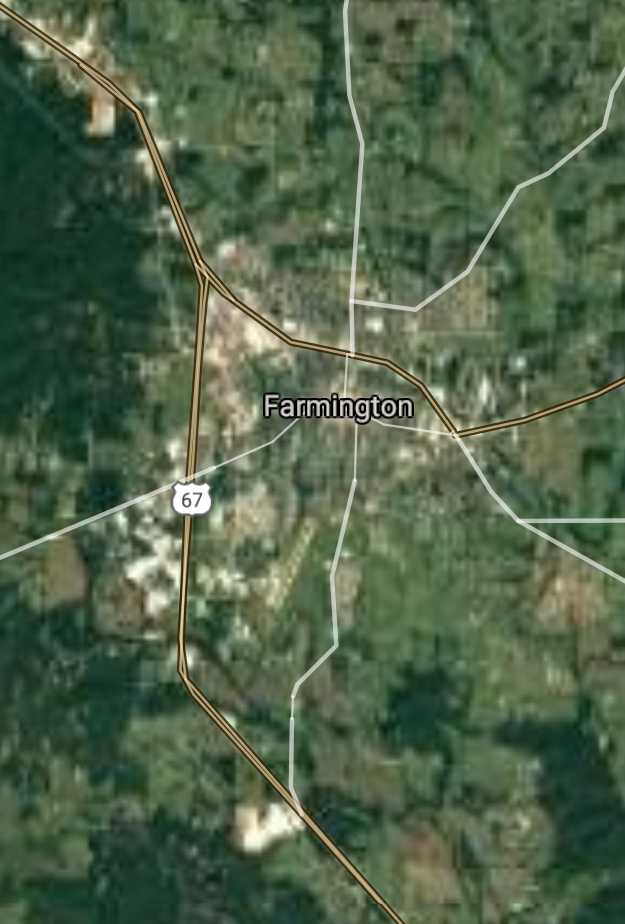
Farmington [*elevation ceiling = 40km]Elevation: 278m (Group 124)
UR-100N (SLBM) |
Point A: 37.020887 00
Point B: 38.660886 00
Point C: 37.780885 00(300kt)
Point D: 38.596998 00
Point E: 39.708379 00
Point F: 40.194754 00
|
Point A: -93.206016 00
Point B: -90.422618 00
Point C: -90.421789 00(300kt)
Point D: -90.509288 00
Point E: -91.358482 00
Point F: -92.583250 00
|
|
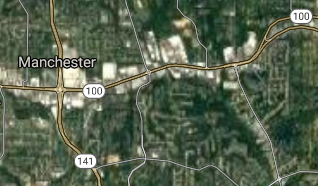
Manchester [*elevation ceiling = 40km]Elevation: 177m (Group 124)
UR-100N (SLBM) |
Point A: 37.020887 00
Point B: 38.660886 00
Point C: 37.780885 00
Point D: 38.596998 00(300kt)
Point E: 39.708379 00
Point F: 40.194754 00
|
Point A: -93.206016 00
Point B: -90.422618 00
Point C: -90.421789 00
Point D: -90.509288 00(300kt)
Point E: -91.358482 00
Point F: -92.583250 00
|
|
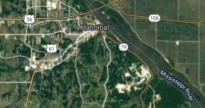
Hannibal [*elevation ceiling = 40km]Elevation: 154m (Group 124)
UR-100N (SLBM) |
Point A: 37.020887 00
Point B: 38.660886 00
Point C: 37.780885 00
Point D: 38.596998 00
Point E: 39.708379 00(300kt)
Point F: 40.194754 00
|
Point A: -93.206016 00
Point B: -90.422618 00
Point C: -90.421789 00
Point D: -90.509288 00
Point E: -91.358482 00(300kt)
Point F: -92.583250 00
|
|
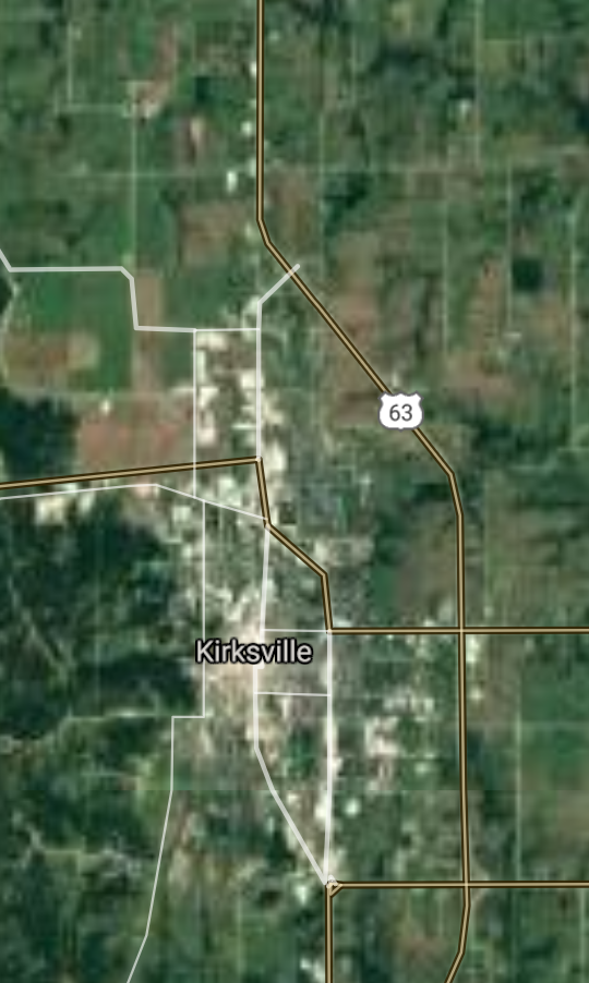
Kirksville [*elevation ceiling = 40km]Elevation: 299m (Group 124)
UR-100N (SLBM) |
Point A: 37.020887 00
Point B: 38.660886 00
Point C: 37.780885 00
Point D: 38.596998 00
Point E: 39.708379 00
Point F: 40.194754 00(300kt)
|
Point A: -93.206016 00
Point B: -90.422618 00
Point C: -90.421789 00
Point D: -90.509288 00
Point E: -91.358482 00
Point F: -92.583250 00(300kt)
|
|
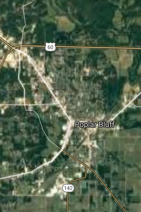
Poplar Bluff [*elevation ceiling = 40km]Elevation: 110m (Group 125)
UR-100N (SLBM) |
Point A: 36.756999 00(300kt)
Point B: 38.642552 00
Point C: 36.876719 00
Point D: 37.120053 00
Point E: 38.701163 00
Point F: 38.780938 00
|
Point A: -90.392888 00(300kt)
Point B: -90.323726 00
Point C: -89.587858 00
Point D: -93.480194 00
Point E: -90.362338 00
Point F: -90.788360 00
|
|
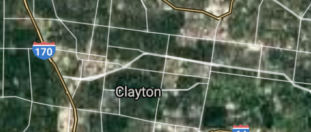
Clayton [*elevation ceiling = 40km]Elevation: 173m (Group 125)
UR-100N (SLBM) |
Point A: 36.756999 00
Point B: 38.642552 00(300kt)
Point C: 36.876719 00
Point D: 37.120053 00
Point E: 38.701163 00
Point F: 38.780938 00
|
Point A: -90.392888 00
Point B: -90.323726 00(300kt)
Point C: -89.587858 00
Point D: -93.480194 00
Point E: -90.362338 00
Point F: -90.788360 00
|
|
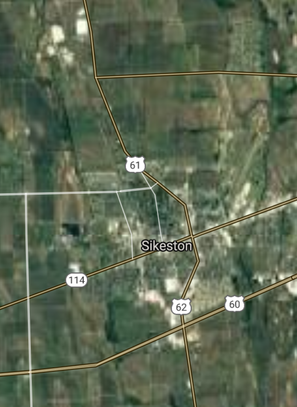
Sikeston [*elevation ceiling = 40km]Elevation: 100m (Group 125)
UR-100N (SLBM) |
Point A: 36.756999 00
Point B: 38.642552 00
Point C: 36.876719 00(300kt)
Point D: 37.120053 00
Point E: 38.701163 00
Point F: 38.780938 00
|
Point A: -90.392888 00
Point B: -90.323726 00
Point C: -89.587858 00(300kt)
Point D: -93.480194 00
Point E: -90.362338 00
Point F: -90.788360 00
|
|
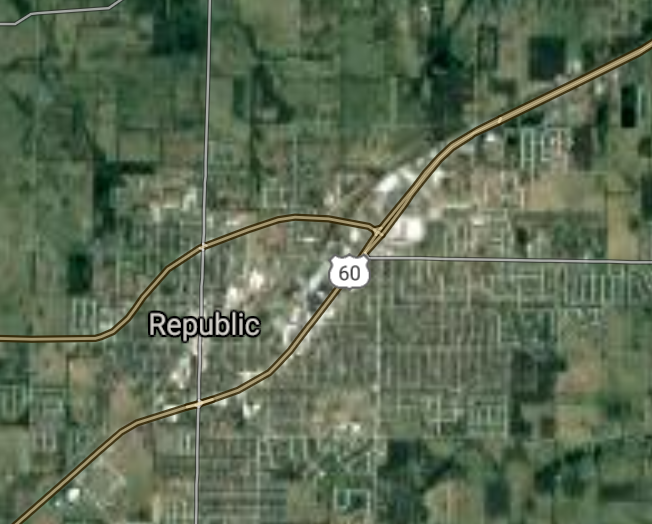
Republic [*elevation ceiling = 40km]Elevation: 400m (Group 125)
UR-100N (SLBM) |
Point A: 36.756999 00
Point B: 38.642552 00
Point C: 36.876719 00
Point D: 37.120053 00(300kt)
Point E: 38.701163 00
Point F: 38.780938 00
|
Point A: -90.392888 00
Point B: -90.323726 00
Point C: -89.587858 00
Point D: -93.480194 00(300kt)
Point E: -90.362338 00
Point F: -90.788360 00
|
|
Overland [*elevation ceiling = 40km]Elevation: 196m (Group 125)
UR-100N (SLBM) |
Point A: 36.756999 00
Point B: 38.642552 00
Point C: 36.876719 00
Point D: 37.120053 00
Point E: 38.701163 00(300kt)
Point F: 38.780938 00
|
Point A: -90.392888 00
Point B: -90.323726 00
Point C: -89.587858 00
Point D: -93.480194 00
Point E: -90.362338 00(300kt)
Point F: -90.788360 00
|
|
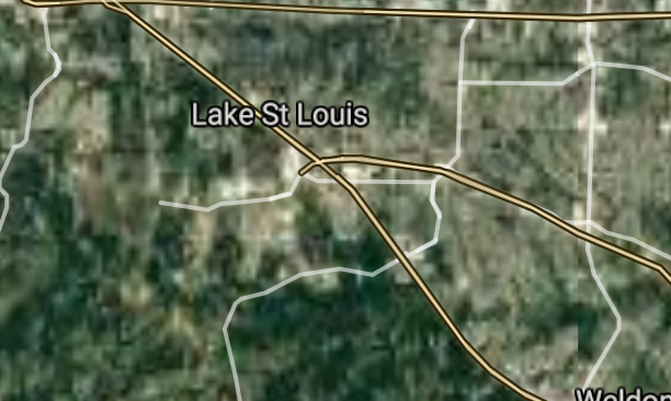
Lake St. Louis [*elevation ceiling = 40km]Elevation: 184m (Group 125)
UR-100N (SLBM) |
Point A: 36.756999 00
Point B: 38.642552 00
Point C: 36.876719 00
Point D: 37.120053 00
Point E: 38.701163 00
Point F: 38.780938 00(300kt)
|
Point A: -90.392888 00
Point B: -90.323726 00
Point C: -89.587858 00
Point D: -93.480194 00
Point E: -90.362338 00
Point F: -90.788360 00(300kt)
|


[Top]
Open START Drills: Central Basin
![]()
![]()
![]()
![]()
![]()
![]()
![]()
![]()
![]()
JanuaryFebruaryMarchAprilJuneJulySeptemberOctoberDecember |
2024
|
|

JanuaryFebruaryJuneJulyAugustOctoberNovemberDecember |
2024
|
|

JanuaryFebruaryJuneJulySeptemberOctoberNovemberDecember |
2024
|
|
